Timewell Wood
Wood, Forest in Devon Mid Devon
England
Timewell Wood

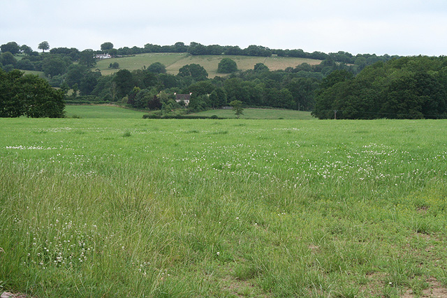
Timewell Wood, located in Devon, England, is a picturesque woodland that covers an area of approximately 100 acres. Situated in the heart of the English countryside, it is renowned for its natural beauty and diverse range of flora and fauna. The wood is situated just a few miles from the small village of Timewell, giving it its name.
Timewell Wood is predominantly composed of broadleaf trees such as oak, beech, and ash, creating a dense canopy that provides shade and shelter for a variety of wildlife. This woodland is a haven for nature enthusiasts and birdwatchers, as it is home to a wide array of bird species, including woodpeckers, thrushes, and owls.
The forest floor is carpeted with a rich diversity of plant species, including bluebells, primroses, and wild garlic, which create a vibrant and colorful landscape during the spring and summer months. The wood is also home to various mammals, such as foxes, badgers, and deer, which can often be spotted roaming amidst the trees.
Timewell Wood is a popular destination for hikers and nature lovers, offering a network of well-maintained trails that wind through the woodland, allowing visitors to explore its beauty at their own pace. The tranquil atmosphere and breathtaking scenery make it an ideal location for picnics, photography, and simply immersing oneself in the wonders of nature.
Overall, Timewell Wood in Devon is a captivating and enchanting forest, offering visitors a chance to escape the hustle and bustle of everyday life and connect with the natural world.
If you have any feedback on the listing, please let us know in the comments section below.
Timewell Wood Images
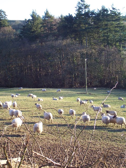
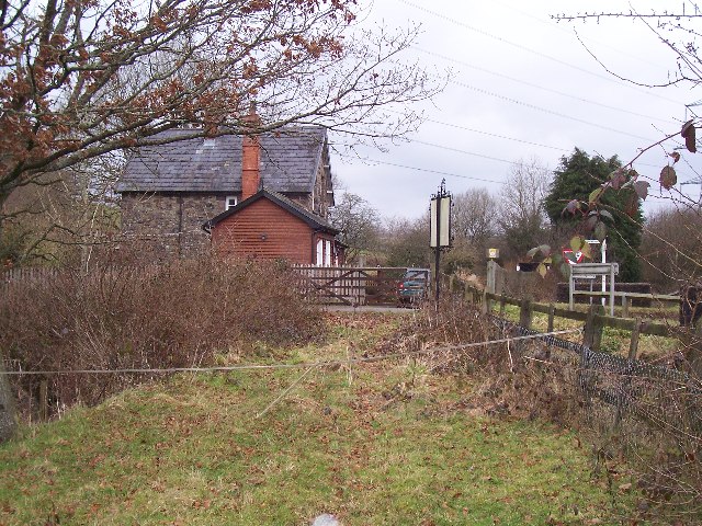
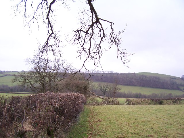
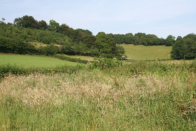
Images are sourced within 2km of 51.019682/-3.4825484 or Grid Reference SS9625. Thanks to Geograph Open Source API. All images are credited.


Timewell Wood is located at Grid Ref: SS9625 (Lat: 51.019682, Lng: -3.4825484)
Administrative County: Devon
District: Mid Devon
Police Authority: Devon and Cornwall
What 3 Words
///squeaking.inspects.recent. Near Dulverton, Somerset
Nearby Locations
Related Wikis

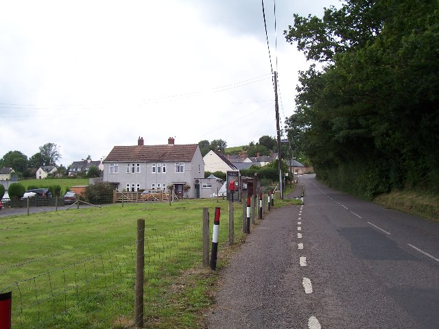
Morebath
Morebath is an upland village in the county of Devon, England. It is mostly given over to sheep-farming, and situated on the southern edge of Exmoor. An...

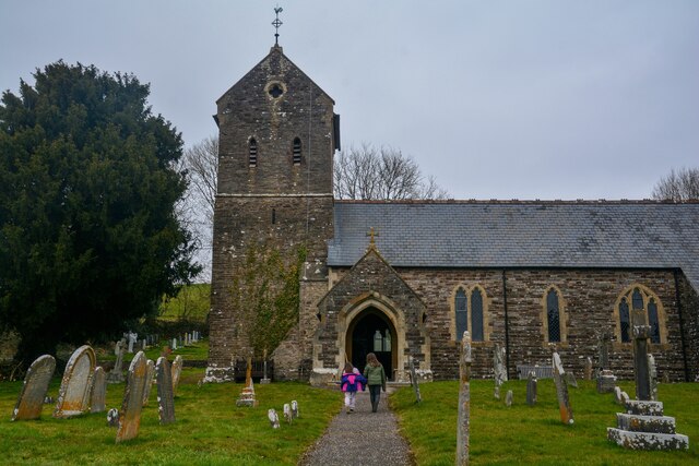
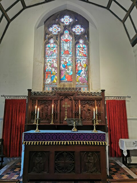
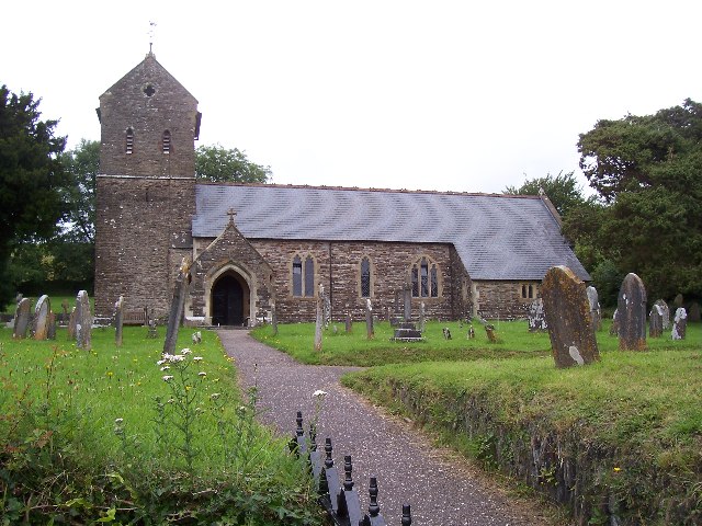
St George's Church, Morebath
St George's Church, Morebath is a Grade II* listed parish church in the Church of England Diocese of Exeter in Morebath, Devon. It is part of the Hukeley...

Morebath Junction railway station
Morebath Junction Halt was a railway halt near the junction of the Devon and Somerset Railway and Exe Valley Railway in Devon, South West England. �...

Bury Bridge
Bury Bridge at Bury in the parish of Brompton Regis within the English county of Somerset is a medieval packhorse bridge. It has been scheduled as an ancient...
Nearby Amenities
Located within 500m of 51.019682,-3.4825484Have you been to Timewell Wood?
Leave your review of Timewell Wood below (or comments, questions and feedback).