Allers Wood

Wood, Forest in Somerset Somerset West and Taunton

England

Allers Wood

Bridge over the River Barle at Dulverton
Bridge over the River Barle at Dulverton Credit: David Martin

Allers Wood is a picturesque woodland located in the county of Somerset, England. Spanning over a vast area, this woodland is a haven for nature enthusiasts and outdoor lovers. It is situated near the village of Aller, hence its name, and is renowned for its beauty and tranquility.

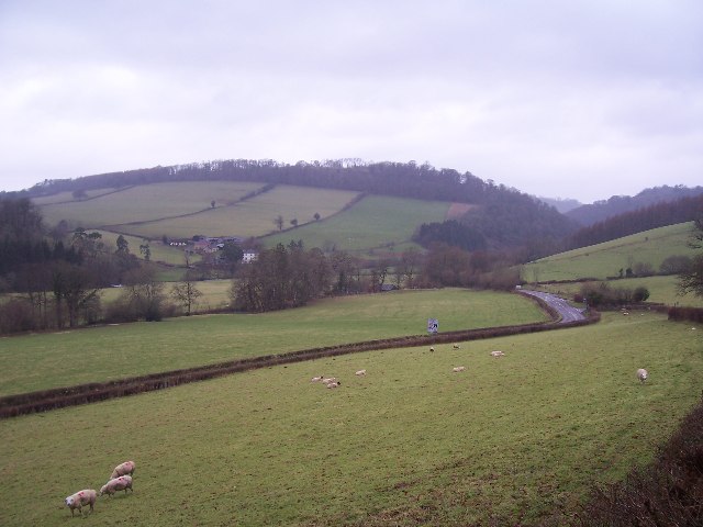
The woodland is characterized by its dense canopy of towering trees, including oak, beech, and ash. These trees provide ample shade and create a cool and refreshing atmosphere, especially during the summer months. The forest floor is covered with a lush carpet of ferns, moss, and wildflowers, adding to the natural beauty of the area.

Allers Wood is home to a diverse range of wildlife, making it a popular spot for birdwatchers and nature photographers. Visitors may spot various bird species, such as woodpeckers, owls, and thrushes, as well as small mammals like foxes, rabbits, and squirrels. The woodland is also known for its rich insect population, with butterflies and dragonflies fluttering among the foliage.

The woodland is intersected by several walking trails, allowing visitors to explore its hidden treasures. These trails range in difficulty, catering to both casual strollers and more adventurous hikers. Along the paths, visitors can discover charming streams, ancient trees, and even remnants of old stone walls, providing insight into the area's history and heritage.

Allers Wood is a peaceful retreat away from the hustle and bustle of modern life. Its natural beauty, diverse wildlife, and tranquil atmosphere make it a must-visit destination for those seeking solace in nature.

If you have any feedback on the listing, please let us know in the comments section below.
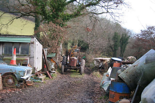
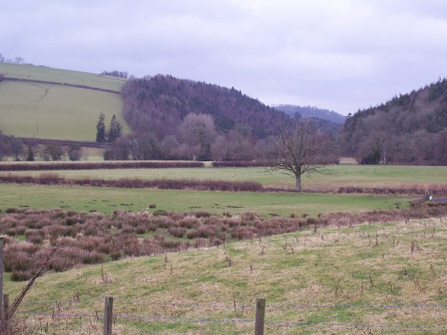
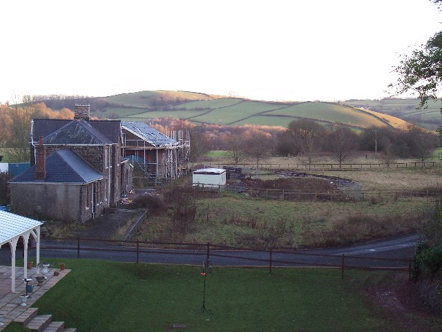
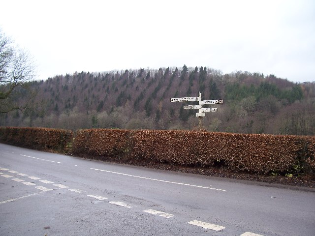
Allers Wood Images

Images are sourced within 2km of 51.027142/-3.5405969 or Grid Reference SS9226. Thanks to Geograph Open Source API. All images are credited.

Bridge over the River Barle at Dulverton
Chapel in Dulverton
Chapel in Dulverton
Church of All Saints, Dulverton
High Street, Dulverton
Bridge over the River Barle at Dulverton
Barle Bridge, Dulverton A Grade II Listed bridge over the River Barle. Mediaeval in origin, repaired 1624, subsequently widened 1819 by J Stone, repaired 1866 and 1952-3. Five arches in random rubble. Also a Scheduled Ancient Monument.
Barle Bridge, Dulverton
A Grade II Listed bridge over the River Barle. Mediaeval in origin, repaired 1624, subsequently widened 1819 by J Stone, repaired 1866 and 1952-3. Five arches in random rubble. Also a Scheduled Ancient Monument.
Northmoor Road, Dulverton The nearest house is No. 7 and the pump and black bollard seen in the background are Listed Grade II, primarily for historic interest.
Northmoor Road, Dulverton
The nearest house is No. 7 and the pump and black bollard seen in the background are Listed Grade II, primarily for historic interest.
Former Dulverton Station Seen from a bridge over the dismantled railway line. The stationmaster's house and goods shed were built by the Devon and somerset Railway and opened in 1873. The Exe Valley Railway also had its terminus here. The station is actually about 2 miles south of Dulverton and in Brushford.
Former Dulverton Station
Seen from a bridge over the dismantled railway line. The stationmaster's house and goods shed were built by the Devon and somerset Railway and opened in 1873. The Exe Valley Railway also had its terminus here. The station is actually about 2 miles south of Dulverton and in Brushford.
1-5 Church Lane, Dulverton Terrace of 5 houses circa early to mid-19th century, although the two closest (1 and 2) are earlier. Painted stole rubble. Listed Grade II.
1-5 Church Lane, Dulverton
Terrace of 5 houses circa early to mid-19th century, although the two closest (1 and 2) are earlier. Painted stole rubble. Listed Grade II.
Dulverton: Town Mills Now offering bread and breakfast, Town Mills was once one of four mills all powered by a single leat from the river Barle. One of its waterwheels can be seen turning at Bickleigh Mill, near Tiverton
Dulverton: Town Mills
Now offering bread and breakfast, Town Mills was once one of four mills all powered by a single leat from the river Barle. One of its waterwheels can be seen turning at Bickleigh Mill, near Tiverton
BRUSHFORD, Somerset The church of St Nicholas
BRUSHFORD, Somerset
The church of St Nicholas
DULVERTON, Somerset All Saints Parish Church
DULVERTON, Somerset
All Saints Parish Church
Dulverton Fire Station Dulverton Fire Station, St Cuthbert's Way, Dulverton, Somerset.
Dulverton Fire Station
Dulverton Fire Station, St Cuthbert's Way, Dulverton, Somerset.
Brushford: yard by bridleway Near Hulverton Hill, looking south on a track from, Brushford to Brocks Bridge. Christmas Day 2005
Brushford: yard by bridleway
Near Hulverton Hill, looking south on a track from, Brushford to Brocks Bridge. Christmas Day 2005
River Exe flood plain The river Exe emerges from the steep wooded valley into a flood plain and flows south (right to left) along the row of trees in the middle distance, to meet with the river Barle at the "Meeting of the Waters" towards the southern end of this square.
River Exe flood plain
The river Exe emerges from the steep wooded valley into a flood plain and flows south (right to left) along the row of trees in the middle distance, to meet with the river Barle at the "Meeting of the Waters" towards the southern end of this square.
Railway Station, Brushford Railway Station at Brushford is Dulverton Station, on the Taunton to Barnstaple line. The station and goods shed are visible from the road bridge. The line was closed in 1966.
Railway Station, Brushford
Railway Station at Brushford is Dulverton Station, on the Taunton to Barnstaple line. The station and goods shed are visible from the road bridge. The line was closed in 1966.
Bury Cross The junction of 'Bury Cross', looking west towards Pixton Hill.
Bury Cross
The junction of 'Bury Cross', looking west towards Pixton Hill.
Machine Cross The road junction 'Machine Cross', and the Exe valley. The river Exe flows south along the far (western) edge of the valley floor.
Machine Cross
The road junction 'Machine Cross', and the Exe valley. The river Exe flows south along the far (western) edge of the valley floor.
Show me another place!

Allers Wood is located at Grid Ref: SS9226 (Lat: 51.027142, Lng: -3.5405969)

Administrative County: Somerset

District: Somerset West and Taunton

Police Authority: Avon and Somerset

What 3 Words

///widest.whimpered.quits. Near Dulverton, Somerset

Related Wikis

Nearby Amenities

Located within 500m of 51.027142,-3.5405969
Power: pole
Source: bing
Lat/Long: 51.0303977/-3.545246
Power: pole
Source: bing
Lat/Long: 51.030504/-3.5440913
Power: pole
Source: bing
Lat/Long: 51.0309189/-3.5428736
Power: pole
Source: bing
Lat/Long: 51.0312462/-3.5419013
Power: pole
Source: bing
Lat/Long: 51.0312386/-3.5397179
Power: pole
Source: bing
Lat/Long: 51.0306575/-3.5384412
Power: pole
Source: bing
Lat/Long: 51.0300688/-3.5378793
Power: pole
Source: bing
Lat/Long: 51.0294834/-3.5373107
Power: pole
Source: bing
Lat/Long: 51.0289048/-3.5367434
Power: pole
Source: bing
Lat/Long: 51.0283127/-3.5361761
Power: pole
Source: bing
Lat/Long: 51.0277324/-3.5356101
Power: pole
Source: bing
Lat/Long: 51.0271403/-3.5350415
Power: pole
Source: bing
Lat/Long: 51.0265439/-3.5344635
Power: pole
Source: bing
Lat/Long: 51.0259585/-3.5338976
The data included in this document is from www.openstreetmap.org. The data is made available under ODbL.

Have you been to Allers Wood?

Leave your review of Allers Wood below (or comments, questions and feedback).