Pixton Park

Downs, Moorland in Somerset Somerset West and Taunton

England

Pixton Park

High Street, Dulverton
High Street, Dulverton Credit: David Martin

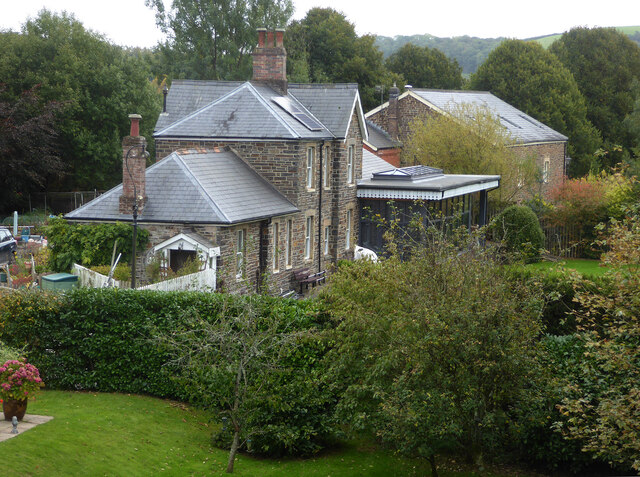
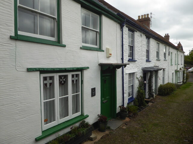
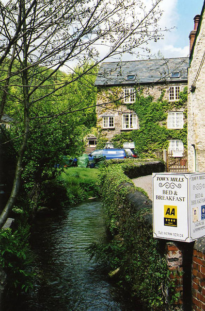
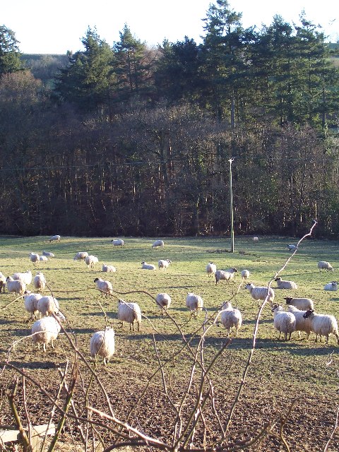
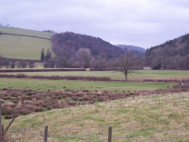
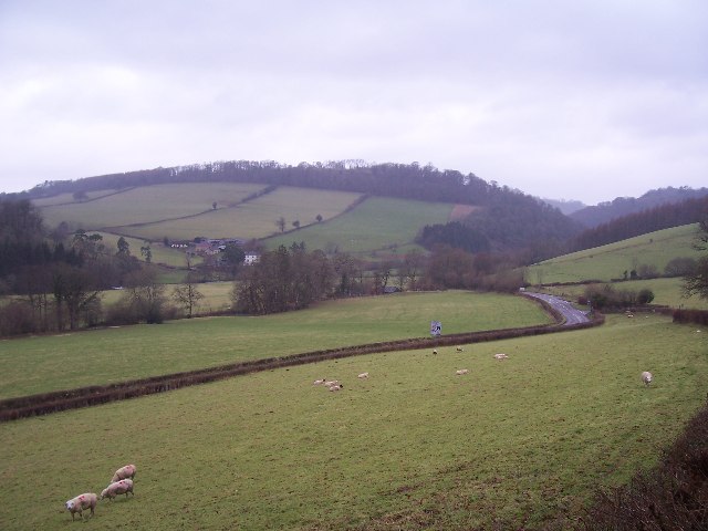
Pixton Park is a picturesque park located in Somerset, England. Situated amidst the stunning surroundings of the Somerset Downs and Moorland, this park offers visitors a tranquil and scenic escape from the hustle and bustle of city life.

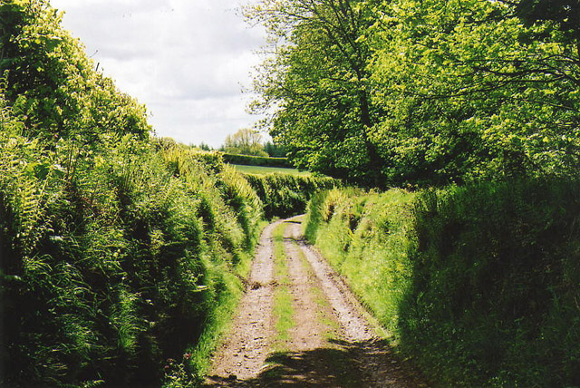
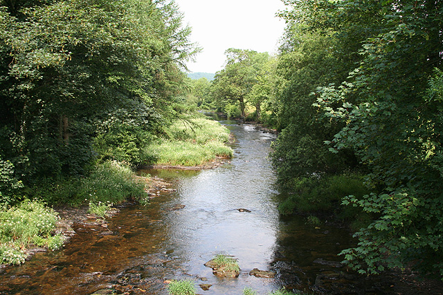
Covering an expansive area of land, Pixton Park boasts a diverse range of landscapes, including rolling hills, lush green meadows, and enchanting woodlands. The park is renowned for its breathtaking views of the surrounding countryside, making it a popular destination for nature enthusiasts and photographers alike.

The park is home to a rich variety of flora and fauna, with numerous species of plants and animals thriving in its diverse habitats. Visitors can expect to spot native wildlife such as deer, rabbits, and a wide array of bird species, adding to the park's natural charm and appeal.

In addition to its natural beauty, Pixton Park offers a range of recreational activities for visitors to enjoy. There are well-maintained walking trails that wind through the park, allowing visitors to explore its various landscapes at their own pace. Picnic areas are scattered throughout the park, providing the perfect spot to relax and soak in the serenity of the surroundings.

For those seeking a more active experience, Pixton Park also offers opportunities for cycling and horse riding, with designated trails and facilities available. The park is also equipped with children's play areas, ensuring that visitors of all ages can find something to enjoy.

Overall, Pixton Park in Somerset is a hidden gem that offers a perfect blend of natural beauty, recreational activities, and tranquility. Whether it's a leisurely stroll, a family picnic, or a wildlife spotting adventure, Pixton Park has something to offer for everyone.

If you have any feedback on the listing, please let us know in the comments section below.
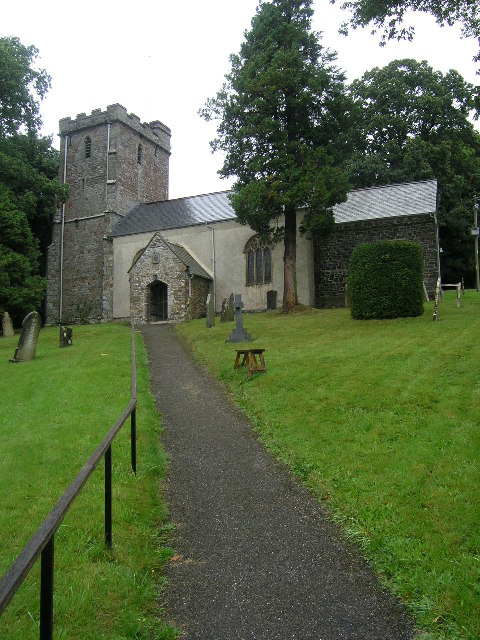
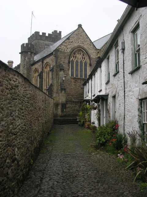
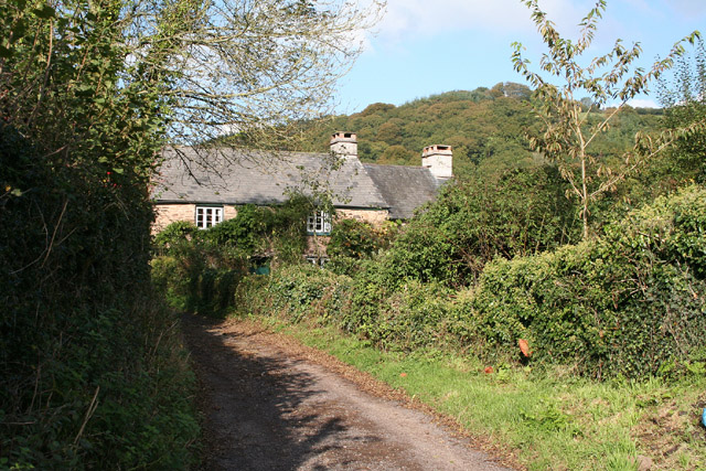
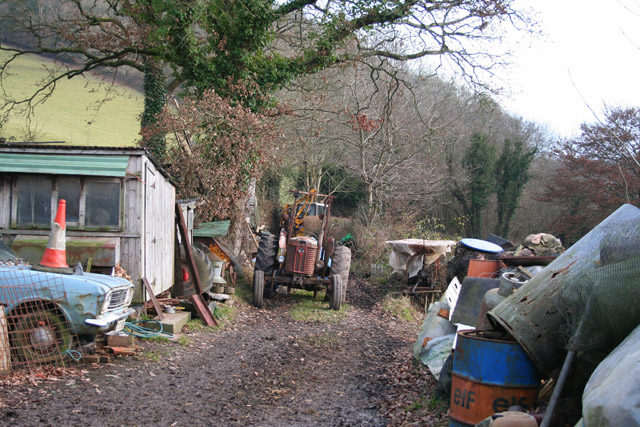
Pixton Park Images

Images are sourced within 2km of 51.029479/-3.5276685 or Grid Reference SS9226. Thanks to Geograph Open Source API. All images are credited.

High Street, Dulverton
Former Dulverton Station Seen from a bridge over the dismantled railway line. The stationmaster's house and goods shed were built by the Devon and somerset Railway and opened in 1873. The Exe Valley Railway also had its terminus here. The station is actually about 2 miles south of Dulverton and in Brushford.
Former Dulverton Station
Seen from a bridge over the dismantled railway line. The stationmaster's house and goods shed were built by the Devon and somerset Railway and opened in 1873. The Exe Valley Railway also had its terminus here. The station is actually about 2 miles south of Dulverton and in Brushford.
1-5 Church Lane, Dulverton Terrace of 5 houses circa early to mid-19th century, although the two closest (1 and 2) are earlier. Painted stole rubble. Listed Grade II.
1-5 Church Lane, Dulverton
Terrace of 5 houses circa early to mid-19th century, although the two closest (1 and 2) are earlier. Painted stole rubble. Listed Grade II.
Dulverton: Town Mills Now offering bread and breakfast, Town Mills was once one of four mills all powered by a single leat from the river Barle. One of its waterwheels can be seen turning at Bickleigh Mill, near Tiverton
Dulverton: Town Mills
Now offering bread and breakfast, Town Mills was once one of four mills all powered by a single leat from the river Barle. One of its waterwheels can be seen turning at Bickleigh Mill, near Tiverton
Bridge in village of Bury The bridge and ford crossing the River Haddeo in the village of Bury on Somerset.
Bridge in village of Bury
The bridge and ford crossing the River Haddeo in the village of Bury on Somerset.
Dulverton: track running south to Jury Cross The track appears to head towards Pixton Park, just beyond Jury Cross
Dulverton: track running south to Jury Cross
The track appears to head towards Pixton Park, just beyond Jury Cross
BRUSHFORD, Somerset The church of St Nicholas
BRUSHFORD, Somerset
The church of St Nicholas
DULVERTON, Somerset All Saints Parish Church
DULVERTON, Somerset
All Saints Parish Church
Brompton Regis: ford and packhorse bridge at Bury Crossing the river Haddeo, a tributary of the Exe
Brompton Regis: ford and packhorse bridge at Bury
Crossing the river Haddeo, a tributary of the Exe
Brompton Regis: Hunt’s Farm The farm offers bed and breakfast and has organic eggs for sale
Brompton Regis: Hunt’s Farm
The farm offers bed and breakfast and has organic eggs for sale
Brushford: yard by bridleway Near Hulverton Hill, looking south on a track from, Brushford to Brocks Bridge. Christmas Day 2005
Brushford: yard by bridleway
Near Hulverton Hill, looking south on a track from, Brushford to Brocks Bridge. Christmas Day 2005
Farmland near Willishayes Farm Farmland just south of Willishayes Farm, looking southwards
Farmland near Willishayes Farm
Farmland just south of Willishayes Farm, looking southwards
River Exe flood plain The river Exe emerges from the steep wooded valley into a flood plain and flows south (right to left) along the row of trees in the middle distance, to meet with the river Barle at the "Meeting of the Waters" towards the southern end of this square.
River Exe flood plain
The river Exe emerges from the steep wooded valley into a flood plain and flows south (right to left) along the row of trees in the middle distance, to meet with the river Barle at the "Meeting of the Waters" towards the southern end of this square.
Railway Station, Brushford Railway Station at Brushford is Dulverton Station, on the Taunton to Barnstaple line. The station and goods shed are visible from the road bridge. The line was closed in 1966.
Railway Station, Brushford
Railway Station at Brushford is Dulverton Station, on the Taunton to Barnstaple line. The station and goods shed are visible from the road bridge. The line was closed in 1966.
Bury Cross The junction of 'Bury Cross', looking west towards Pixton Hill.
Bury Cross
The junction of 'Bury Cross', looking west towards Pixton Hill.
Machine Cross The road junction 'Machine Cross', and the Exe valley. The river Exe flows south along the far (western) edge of the valley floor.
Machine Cross
The road junction 'Machine Cross', and the Exe valley. The river Exe flows south along the far (western) edge of the valley floor.
Dulverton: the Barle at Allers Wood Looking north-north-west from one of the access roads into Pixton Park, a private estate. Nearby a public footpath runs through fields to Dulverton town
Dulverton: the Barle at Allers Wood
Looking north-north-west from one of the access roads into Pixton Park, a private estate. Nearby a public footpath runs through fields to Dulverton town
Dulverton: Bath Meadow Drive Looking north-north-west amongst bungalows
Dulverton: Bath Meadow Drive
Looking north-north-west amongst bungalows
Show me another place!

Pixton Park is located at Grid Ref: SS9226 (Lat: 51.029479, Lng: -3.5276685)

Administrative County: Somerset

District: Somerset West and Taunton

Police Authority: Avon and Somerset

What 3 Words

///committed.unstable.sleeper. Near Dulverton, Somerset

Related Wikis

River Haddeo

The River Haddeo on Exmoor in Somerset, England flows from the Wimbleball Lake to the River Exe. The valley of the river consists of three tributary valleys...

Bury Castle, Brompton Regis

Bury Castle near Brompton Regis in the English county of Somerset was an Iron Age univallate hillfort which was reused with the creation of a motte after...

Brushford, Somerset

Brushford is a village and civil parish 2 miles (3.2 km) south of Dulverton and 12 miles (19 km) north of Tiverton in Devon, in the Somerset West and Taunton...

Combe, Dulverton

Combe is a historic estate in Somerset, England, situated between the town of Dulverton and the village of Brushford. == Descent == === Taunton Priory... ===

Bury Bridge

Bury Bridge at Bury in the parish of Brompton Regis within the English county of Somerset is a medieval packhorse bridge. It has been scheduled as an ancient...

Barlynch Priory

Barlynch Priory (also known as St Nicholas's Priory and sometimes spelled Barlich Priory) in Brompton Regis, Somerset, England was an Augustinian priory...

Dulverton Town Hall

Dulverton Town Hall is a municipal building in Fore Street in Dulverton, Somerset, England. The building, which is the meeting place of Dulverton Town...

Church of All Saints, Dulverton

The Anglican Church of All Saints in Dulverton, Somerset, England was built in the 15th century and largely rebuilt in the 1850s. It is a Grade II* listed...

Nearby Amenities

Located within 500m of 51.029479,-3.5276685
Pixton Hill
Access: private
Ele: 239
Natural: peak
Lat/Long: 51.027388/-3.5271479
The data included in this document is from www.openstreetmap.org. The data is made available under ODbL.

Have you been to Pixton Park?

Leave your review of Pixton Park below (or comments, questions and feedback).