Pixton Hill

Hill, Mountain in Somerset Somerset West and Taunton

England

Pixton Hill

Exebridge at Exebridge Seen from the beer garden of The Anchor Inn. The three arch stone bridge is thought to be 18th century (but with a bridge in this location since the 14th century) with major repairs in 1853 and 1929. The river is the boundary between Devon (right) and Somerset (left).
Exebridge at Exebridge Credit: Chris Allen

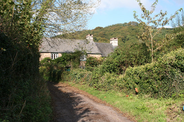
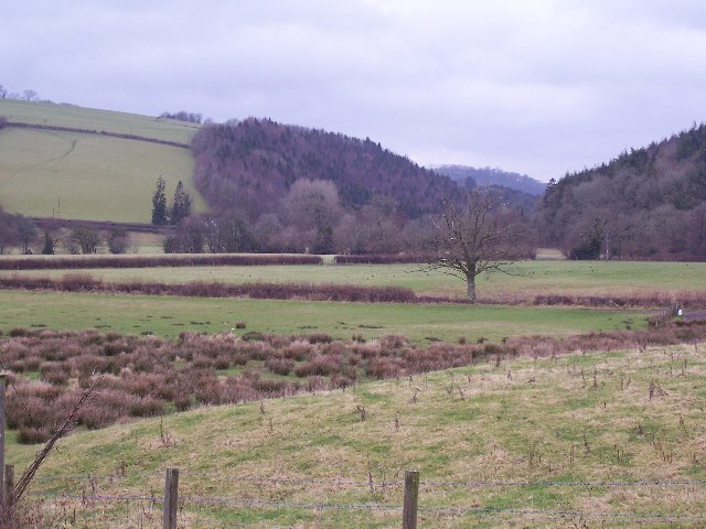
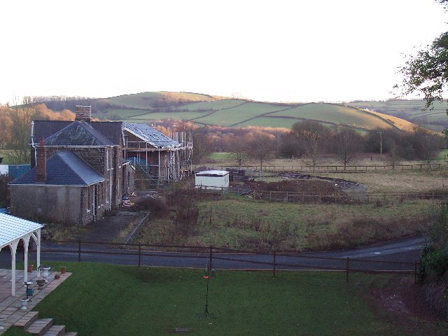
Pixton Hill is a prominent geographic feature located in Somerset, England. Classified as a hill rather than a mountain, it rises to an elevation of approximately 175 meters (574 feet) above sea level. Situated in the southeastern part of the county, Pixton Hill is part of the picturesque Quantock Hills, an Area of Outstanding Natural Beauty.

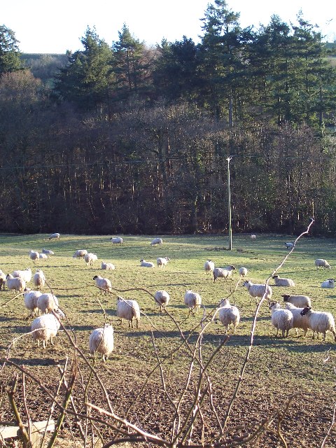
The hill is characterized by its rolling landscape, verdant meadows, and dense woodlands. It offers breathtaking panoramic views of the surrounding countryside, with the nearby village of Bishops Lydeard visible from its summit. The area is rich in wildlife, with a diverse range of flora and fauna inhabiting the hillside.

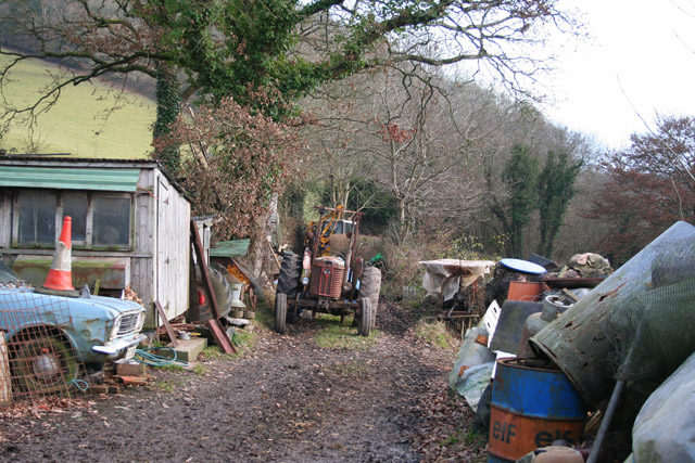
Pixton Hill is a popular destination for outdoor enthusiasts and nature lovers. It provides various recreational activities, including hiking, walking, and cycling. There are well-established trails that wind through the hill, allowing visitors to explore its natural beauty at their own pace. The hill also attracts birdwatchers, as it serves as a habitat for numerous bird species.

The hill's location in the Quantock Hills makes it easily accessible from nearby towns and villages, such as Taunton and Bridgwater. Its proximity to these urban areas makes it an ideal spot for day trips or weekend getaways. Whether it's the stunning views, the peaceful ambiance, or the opportunity for outdoor adventure, Pixton Hill offers visitors a memorable experience in the heart of Somerset.

If you have any feedback on the listing, please let us know in the comments section below.
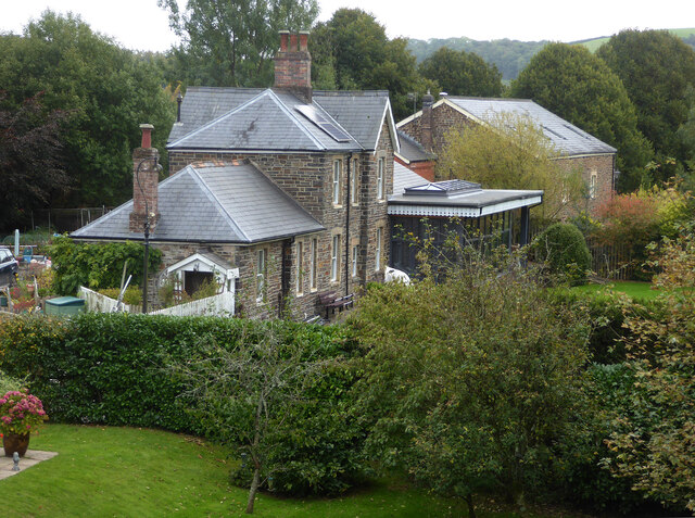
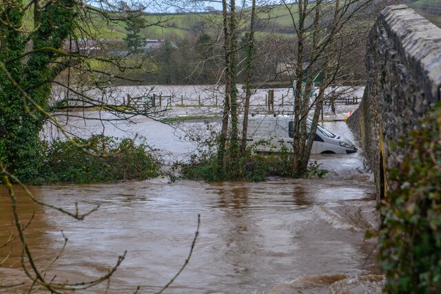
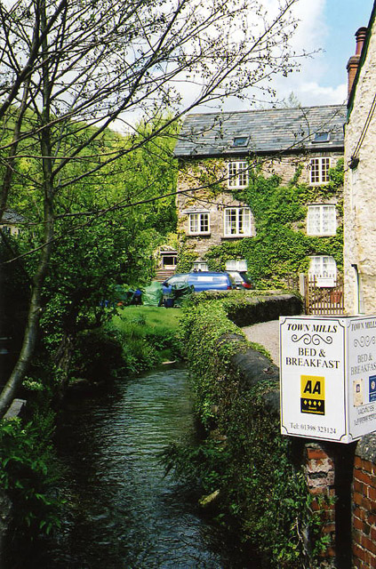
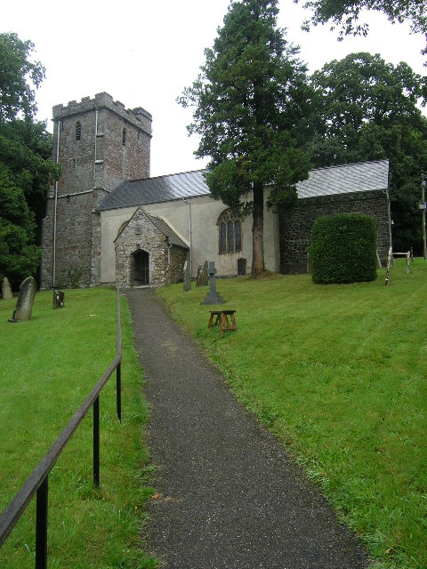
Pixton Hill Images

Images are sourced within 2km of 51.027302/-3.5277395 or Grid Reference SS9226. Thanks to Geograph Open Source API. All images are credited.

Exebridge at Exebridge Seen from the beer garden of The Anchor Inn. The three arch stone bridge is thought to be 18th century (but with a bridge in this location since the 14th century) with major repairs in 1853 and 1929. The river is the boundary between Devon (right) and Somerset (left).
Exebridge at Exebridge
Seen from the beer garden of The Anchor Inn. The three arch stone bridge is thought to be 18th century (but with a bridge in this location since the 14th century) with major repairs in 1853 and 1929. The river is the boundary between Devon (right) and Somerset (left).
Former Dulverton Station Seen from a bridge over the dismantled railway line. The stationmaster's house and goods shed were built by the Devon and somerset Railway and opened in 1873. The Exe Valley Railway also had its terminus here. The station is actually about 2 miles south of Dulverton and in Brushford.
Former Dulverton Station
Seen from a bridge over the dismantled railway line. The stationmaster's house and goods shed were built by the Devon and somerset Railway and opened in 1873. The Exe Valley Railway also had its terminus here. The station is actually about 2 miles south of Dulverton and in Brushford.
Brushford : Exebridge - River Exe Looking across the River Exe which has flooded.
Brushford : Exebridge - River Exe
Looking across the River Exe which has flooded.
Morebath - Exebridge - River Exe Looking across the flooded River Exe.
Morebath - Exebridge - River Exe
Looking across the flooded River Exe.
Brushford : Exebridge - River Exe Looking across Exe Bridge and towards the car park which is situated by the bridge, and is today underwater.
Brushford : Exebridge - River Exe
Looking across Exe Bridge and towards the car park which is situated by the bridge, and is today underwater.
Dulverton: Town Mills Now offering bread and breakfast, Town Mills was once one of four mills all powered by a single leat from the river Barle. One of its waterwheels can be seen turning at Bickleigh Mill, near Tiverton
Dulverton: Town Mills
Now offering bread and breakfast, Town Mills was once one of four mills all powered by a single leat from the river Barle. One of its waterwheels can be seen turning at Bickleigh Mill, near Tiverton
Bridge in village of Bury The bridge and ford crossing the River Haddeo in the village of Bury on Somerset.
Bridge in village of Bury
The bridge and ford crossing the River Haddeo in the village of Bury on Somerset.
BRUSHFORD, Somerset The church of St Nicholas
BRUSHFORD, Somerset
The church of St Nicholas
Brompton Regis: ford and packhorse bridge at Bury Crossing the river Haddeo, a tributary of the Exe
Brompton Regis: ford and packhorse bridge at Bury
Crossing the river Haddeo, a tributary of the Exe
Brompton Regis: Hunt’s Farm The farm offers bed and breakfast and has organic eggs for sale
Brompton Regis: Hunt’s Farm
The farm offers bed and breakfast and has organic eggs for sale
The Somerset side of Exebridge. Taken on the Exe Valley Way. For a couple of miles the River Exe is the border between Devon and Somerset.
The Somerset side of Exebridge.
Taken on the Exe Valley Way. For a couple of miles the River Exe is the border between Devon and Somerset.
Fish Ponds, Exebridge Taken on the Exe Valley Way.
Fish Ponds, Exebridge
Taken on the Exe Valley Way.
Brushford: yard by bridleway Near Hulverton Hill, looking south on a track from, Brushford to Brocks Bridge. Christmas Day 2005
Brushford: yard by bridleway
Near Hulverton Hill, looking south on a track from, Brushford to Brocks Bridge. Christmas Day 2005
Farmland near Willishayes Farm Farmland just south of Willishayes Farm, looking southwards
Farmland near Willishayes Farm
Farmland just south of Willishayes Farm, looking southwards
River Exe flood plain The river Exe emerges from the steep wooded valley into a flood plain and flows south (right to left) along the row of trees in the middle distance, to meet with the river Barle at the "Meeting of the Waters" towards the southern end of this square.
River Exe flood plain
The river Exe emerges from the steep wooded valley into a flood plain and flows south (right to left) along the row of trees in the middle distance, to meet with the river Barle at the "Meeting of the Waters" towards the southern end of this square.
Railway Station, Brushford Railway Station at Brushford is Dulverton Station, on the Taunton to Barnstaple line. The station and goods shed are visible from the road bridge. The line was closed in 1966.
Railway Station, Brushford
Railway Station at Brushford is Dulverton Station, on the Taunton to Barnstaple line. The station and goods shed are visible from the road bridge. The line was closed in 1966.
Bury Cross The junction of 'Bury Cross', looking west towards Pixton Hill.
Bury Cross
The junction of 'Bury Cross', looking west towards Pixton Hill.
Machine Cross The road junction 'Machine Cross', and the Exe valley. The river Exe flows south along the far (western) edge of the valley floor.
Machine Cross
The road junction 'Machine Cross', and the Exe valley. The river Exe flows south along the far (western) edge of the valley floor.
Show me another place!

Pixton Hill is located at Grid Ref: SS9226 (Lat: 51.027302, Lng: -3.5277395)

Administrative County: Somerset

District: Somerset West and Taunton

Police Authority: Avon and Somerset

What 3 Words

///slips.wiggling.rich. Near Dulverton, Somerset

Related Wikis

River Haddeo

The River Haddeo on Exmoor in Somerset, England flows from the Wimbleball Lake to the River Exe. The valley of the river consists of three tributary valleys...

Bury Castle, Brompton Regis

Bury Castle near Brompton Regis in the English county of Somerset was an Iron Age univallate hillfort which was reused with the creation of a motte after...

Brushford, Somerset

Brushford is a village and civil parish 2 miles (3.2 km) south of Dulverton and 12 miles (19 km) north of Tiverton in Devon, in the Somerset West and Taunton...

Combe, Dulverton

Combe is a historic estate in Somerset, England, situated between the town of Dulverton and the village of Brushford. == Descent == === Taunton Priory... ===

Bury Bridge

Bury Bridge at Bury in the parish of Brompton Regis within the English county of Somerset is a medieval packhorse bridge. It has been scheduled as an ancient...

River Barle

The River Barle runs from the Chains on northern Exmoor, in Somerset, England to join the River Exe at Exebridge, Devon. The river and the Barle Valley...

Exebridge

Exebridge is a village that lies on the border between Devon and Somerset, England. It lies at the confluence of the Barle and Exe rivers. Exebridge is...

Barlynch Priory

Barlynch Priory (also known as St Nicholas's Priory and sometimes spelled Barlich Priory) in Brompton Regis, Somerset, England was an Augustinian priory...

Nearby Amenities

Located within 500m of 51.027302,-3.5277395
Power: pole
Source: bing
Lat/Long: 51.0265439/-3.5344635
Power: pole
Source: bing
Lat/Long: 51.0259585/-3.5338976
Power: pole
Source: bing
Lat/Long: 51.0253605/-3.5333182
Power: pole
Source: bing
Lat/Long: 51.0247793/-3.5327563
Pixton Hill
Access: private
Ele: 239
Natural: peak
Lat/Long: 51.027388/-3.5271479
The data included in this document is from www.openstreetmap.org. The data is made available under ODbL.

Have you been to Pixton Hill?

Leave your review of Pixton Hill below (or comments, questions and feedback).