Sedge Pool
Lake, Pool, Pond, Freshwater Marsh in Somerset Somerset West and Taunton
England
Sedge Pool

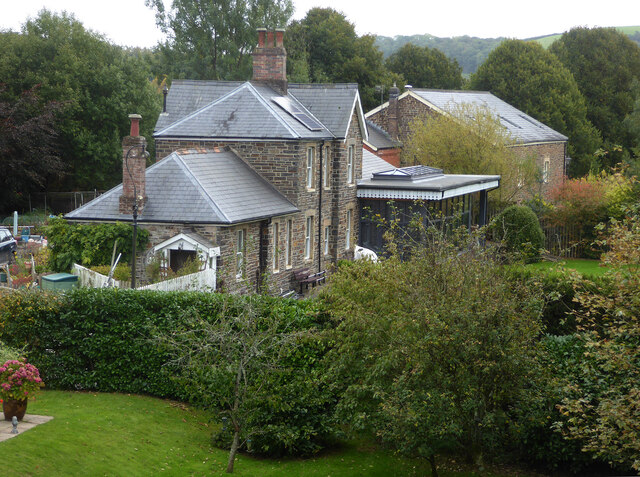
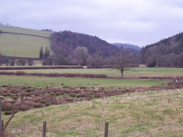
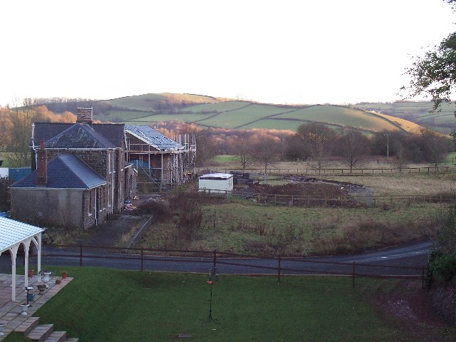
Sedge Pool is a freshwater marsh located in Somerset, England. It is a picturesque body of water surrounded by lush greenery and diverse wildlife. The pool is situated within the larger area of Sedge Moor, which encompasses several other lakes, pools, and ponds.
Covering an area of approximately 10 acres, Sedge Pool is characterized by its calm and serene atmosphere. It is fed by natural springs and rainwater runoff, ensuring a constant supply of fresh water. The pool is relatively shallow, with a maximum depth of around 6 feet, and is lined with reeds and aquatic plants, providing a rich habitat for various species of plants and animals.
The diverse plant life in and around Sedge Pool includes sedges, rushes, water lilies, and various grasses. These plants not only add to the pool's aesthetic appeal but also provide shelter and food sources for many species of birds, insects, and aquatic creatures.
The wildlife at Sedge Pool is abundant and varied. It is a popular spot for birdwatchers, as it attracts a wide range of bird species throughout the year. Visitors can often spot ducks, geese, herons, swans, and other waterfowl. The pool also supports a thriving population of fish, including perch, roach, and tench.
Sedge Pool is a popular destination for nature enthusiasts and photographers due to its tranquil beauty and rich biodiversity. It offers a peaceful escape from the hustle and bustle of daily life, allowing visitors to immerse themselves in the wonders of nature. Whether it is birdwatching, fishing, or simply enjoying the serene surroundings, Sedge Pool offers a truly enchanting experience for all who visit.
If you have any feedback on the listing, please let us know in the comments section below.
Sedge Pool Images
Images are sourced within 2km of 51.028361/-3.538156 or Grid Reference SS9226. Thanks to Geograph Open Source API. All images are credited.


Sedge Pool is located at Grid Ref: SS9226 (Lat: 51.028361, Lng: -3.538156)
Administrative County: Somerset
District: Somerset West and Taunton
Police Authority: Avon and Somerset
What 3 Words
///rinse.slimming.scam. Near Dulverton, Somerset
Nearby Locations
Related Wikis

Combe, Dulverton
Combe is a historic estate in Somerset, England, situated between the town of Dulverton and the village of Brushford. == Descent == === Taunton Priory... ===

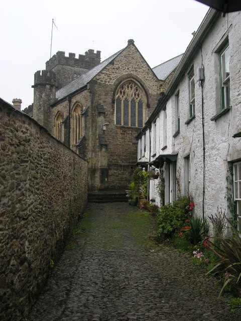
Brushford, Somerset
Brushford is a village and civil parish 2 miles (3.2 km) south of Dulverton and 12 miles (19 km) north of Tiverton in Devon, in the Somerset West and Taunton...

River Haddeo
The River Haddeo on Exmoor in Somerset, England flows from the Wimbleball Lake to the River Exe. The valley of the river consists of three tributary valleys...

Dulverton Town Hall
Dulverton Town Hall is a municipal building in Fore Street in Dulverton, Somerset, England. The building, which is the meeting place of Dulverton Town...

Barle Bridge
Barle Bridge is a five span stone arch bridge over the River Barle in Dulverton within the English county of Somerset, which is medieval in origin. It...

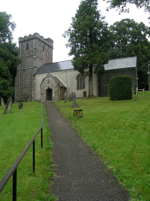
Church of All Saints, Dulverton
The Anglican Church of All Saints in Dulverton, Somerset, England was built in the 15th century and largely rebuilt in the 1850s. It is a Grade II* listed...

Bury Castle, Brompton Regis
Bury Castle near Brompton Regis in the English county of Somerset was an Iron Age univallate hillfort which was reused with the creation of a motte after...

Barlynch Priory
Barlynch Priory (also known as St Nicholas's Priory and sometimes spelled Barlich Priory) in Brompton Regis, Somerset, England was an Augustinian priory...
Nearby Amenities
Located within 500m of 51.028361,-3.538156Have you been to Sedge Pool?
Leave your review of Sedge Pool below (or comments, questions and feedback).