Highleigh Wood

Wood, Forest in Devon Mid Devon

England

Highleigh Wood

Exebridge at Exebridge Seen from the beer garden of The Anchor Inn. The three arch stone bridge is thought to be 18th century (but with a bridge in this location since the 14th century) with major repairs in 1853 and 1929. The river is the boundary between Devon (right) and Somerset (left).
Exebridge at Exebridge Credit: Chris Allen

Highleigh Wood is a picturesque woodland located in the county of Devon, England. Situated in the heart of the South Hams district, this enchanting forest covers an area of approximately 100 acres. The wood is predominantly composed of oak and beech trees, which create a dense canopy that provides shelter for a variety of wildlife.

The woodland boasts a network of well-maintained footpaths, allowing visitors to explore its natural beauty and immerse themselves in the tranquil surroundings. These pathways wind through the ancient trees, offering stunning views of the rolling hills and valleys that surround the area.

Highleigh Wood is a haven for nature enthusiasts, as it is home to a diverse range of flora and fauna. Wildflowers such as bluebells and primroses carpet the forest floor during the spring months, while birds such as woodpeckers and tawny owls can be heard and spotted throughout the year.

In addition to its natural beauty, the wood also holds historical significance. It is believed that parts of Highleigh Wood date back to medieval times, and remnants of ancient earthworks and boundary banks can still be seen today. These features add an element of mystery and intrigue to the woodland, captivating visitors with its rich history.

Highleigh Wood offers a peaceful retreat from the bustle of modern life, allowing individuals to reconnect with nature and enjoy the tranquility of the surrounding environment. Whether it's taking a leisurely stroll, birdwatching, or simply finding solace among the trees, Highleigh Wood offers a truly unforgettable experience for all who visit.

If you have any feedback on the listing, please let us know in the comments section below.

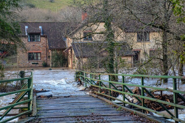
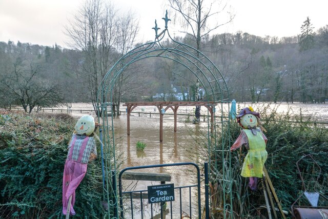
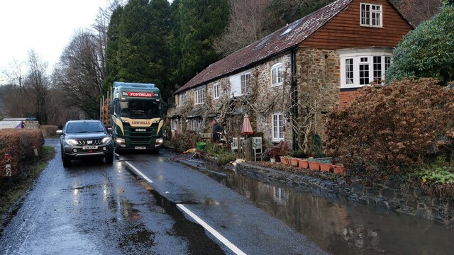
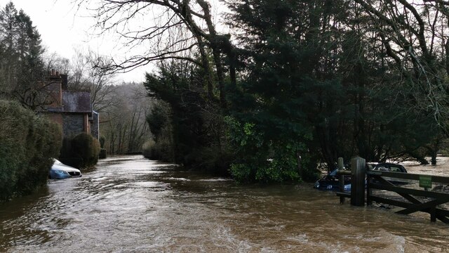
Highleigh Wood Images

Images are sourced within 2km of 51.001191/-3.5397227 or Grid Reference SS9223. Thanks to Geograph Open Source API. All images are credited.

Exebridge at Exebridge Seen from the beer garden of The Anchor Inn. The three arch stone bridge is thought to be 18th century (but with a bridge in this location since the 14th century) with major repairs in 1853 and 1929. The river is the boundary between Devon (right) and Somerset (left).
Exebridge at Exebridge
Seen from the beer garden of The Anchor Inn. The three arch stone bridge is thought to be 18th century (but with a bridge in this location since the 14th century) with major repairs in 1853 and 1929. The river is the boundary between Devon (right) and Somerset (left).
The Anchor Inn, Exebridge By the River Exe and the eponymous bridge. The three arch masonry bridge is on the right. This was a quick stop on the way to Dulverton. I believe the pub is just in Devon as the river is the boundary with Somerset.
The Anchor Inn, Exebridge
By the River Exe and the eponymous bridge. The three arch masonry bridge is on the right. This was a quick stop on the way to Dulverton. I believe the pub is just in Devon as the river is the boundary with Somerset.
Bampton : The A396 Potholes in the road along the A639.
Bampton : The A396
Potholes in the road along the A639.
Bampton : The A396 Looking along the A396 and towards some large potholes in the road.
Bampton : The A396
Looking along the A396 and towards some large potholes in the road.
Bampton : Oakfordbridge - Highleigh Mill A bridge across to Highleigh Mill, but it doesn't look passable today due to the River Exe. Debris is also forming on the bridge.
Bampton : Oakfordbridge - Highleigh Mill
A bridge across to Highleigh Mill, but it doesn't look passable today due to the River Exe. Debris is also forming on the bridge.
Bampton : Oakfordbridge - Bark House Hotel Tea Garden Two scarecrows welcome people into the team garden, although it's a little damp today.
Bampton : Oakfordbridge - Bark House Hotel Tea Garden
Two scarecrows welcome people into the team garden, although it's a little damp today.
Bampton : Oakfordbridge - A396 Churches Fire security van braves the flooded road.
Bampton : Oakfordbridge - A396
Churches Fire security van braves the flooded road.
Bampton : Oakfordbridge - A396 The road passes The Bark House Hotel.
Bampton : Oakfordbridge - A396
The road passes The Bark House Hotel.
Bampton : Oakfordbridge - A396 Looking towards somebody crossing through the floodwaters.
Bampton : Oakfordbridge - A396
Looking towards somebody crossing through the floodwaters.
Bampton : Oakfordbridge - A396 The flooded A396 in Oakfordbridge.
Bampton : Oakfordbridge - A396
The flooded A396 in Oakfordbridge.
Bampton : Oakfordbridge - A396 The flooded A396 in Oakfordbridge.
Bampton : Oakfordbridge - A396
The flooded A396 in Oakfordbridge.
Bampton : Oakfordbridge - A396 Looking along the A396 where water has flooded the road.
Bampton : Oakfordbridge - A396
Looking along the A396 where water has flooded the road.
Brushford : Exebridge - River Exe Looking across the River Exe which has flooded.
Brushford : Exebridge - River Exe
Looking across the River Exe which has flooded.
Brushford : Exebridge - River Exe Looking down the River Exe from Exe Bridge.
Brushford : Exebridge - River Exe
Looking down the River Exe from Exe Bridge.
Morebath - Exebridge - The Anchor Inn The Anchor Inn has flooded.
Morebath - Exebridge - The Anchor Inn
The Anchor Inn has flooded.
Morebath - Exebridge - River Exe Looking across the flooded River Exe.
Morebath - Exebridge - River Exe
Looking across the flooded River Exe.
Morebath : Exebridge - B3222 The road heads through Exebridge, passing the Anchor Inn.
Morebath : Exebridge - B3222
The road heads through Exebridge, passing the Anchor Inn.
Morebath : Exebridge - B3222 Looking along the flooded B3222 road.
Morebath : Exebridge - B3222
Looking along the flooded B3222 road.
Show me another place!

Highleigh Wood is located at Grid Ref: SS9223 (Lat: 51.001191, Lng: -3.5397227)

Administrative County: Devon

District: Mid Devon

Police Authority: Devon and Cornwall

What 3 Words

///envoy.fuses.paddocks. Near Dulverton, Somerset

Related Wikis

River Barle

The River Barle runs from the Chains on northern Exmoor, in Somerset, England to join the River Exe at Exebridge, Devon. The river and the Barle Valley...

Oakfordbridge

Oakfordbridge is a village in Devon, England. == References == The geographic coordinates are from the Ordnance Survey. == External links == Media related...

Exebridge

Exebridge is a village that lies on the border between Devon and Somerset, England. It lies at the confluence of the Barle and Exe rivers. Exebridge is...

Brushford, Somerset

Brushford is a village and civil parish 2 miles (3.2 km) south of Dulverton and 12 miles (19 km) north of Tiverton in Devon, in the Somerset West and Taunton...

Related Videos

Exebridge Lakeside Caravan and Motorhome Club Site

This video shows arrival and travel around Exebridge Lakeside Caravan and Motorhome Club Site, located between Tiverton and ...

Leaving CAMC Exebridge Lakeside

Leaving Caravan & Motorhome Club Site After A Weeks Holiday.

Fly Fishing Exe Valley Fishery - 14th October 2021 - Part 2

It was the first time I'd fished Exe Valley so I decided to just buy a 4 fish ticket as I didn't know how it was fishing. That ticket lastest ...

Nearby Amenities

Located within 500m of 51.001191,-3.5397227
Power: tower
Lat/Long: 51.0002795/-3.5389074
Power: tower
Lat/Long: 51.0009023/-3.5429092
The data included in this document is from www.openstreetmap.org. The data is made available under ODbL.

Have you been to Highleigh Wood?

Leave your review of Highleigh Wood below (or comments, questions and feedback).