Sale Wood
Wood, Forest in Somerset Somerset West and Taunton
England
Sale Wood
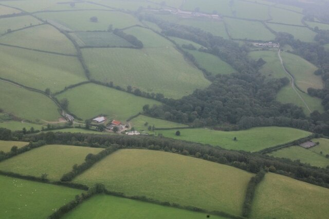
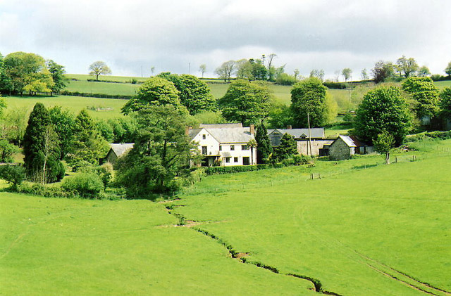
Sale Wood is a stunning forest located in the county of Somerset, England. Covering an area of approximately 300 acres, it is a captivating natural landscape that offers a tranquil escape from the bustling city life. The wood is situated just a few miles away from the town of Weston-super-Mare, making it easily accessible to both locals and tourists.
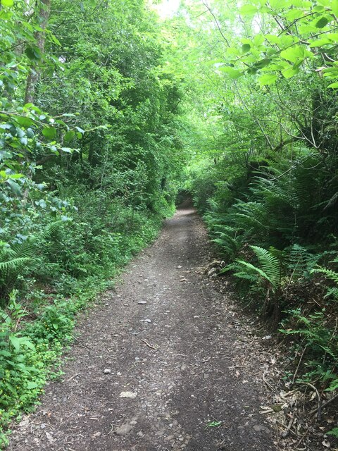
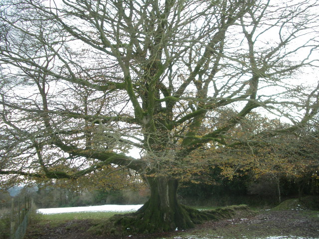
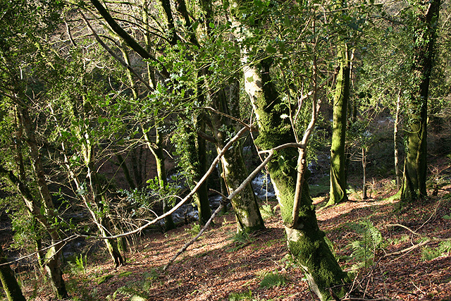
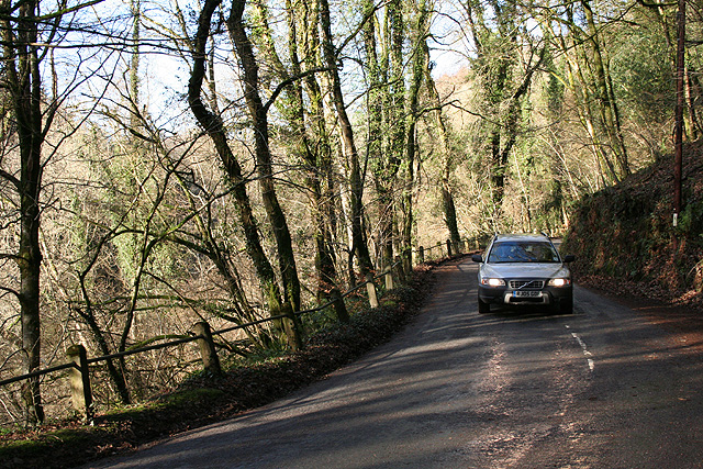
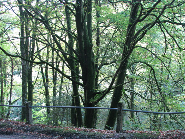
The woodland is predominantly composed of broadleaf trees, including oak, beech, and birch, which create a rich and diverse ecosystem. The dense canopy provides a shaded and cool environment, making it a perfect place for leisurely strolls or family picnics on warm summer days.
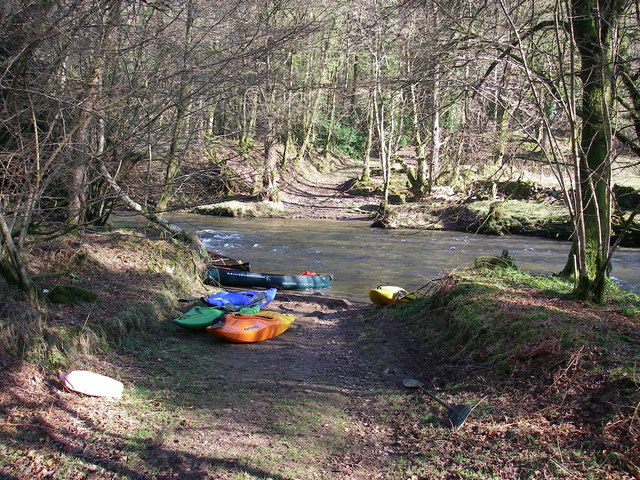
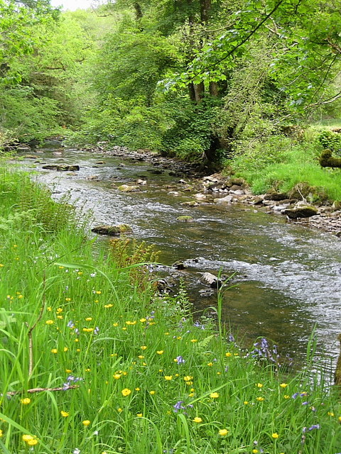
Sale Wood is home to a variety of wildlife, making it a popular destination for nature enthusiasts. Visitors may spot deer, rabbits, squirrels, and a wide array of bird species throughout the forest. The woodland also boasts an impressive collection of wildflowers, adding vibrant colors to the scenery.
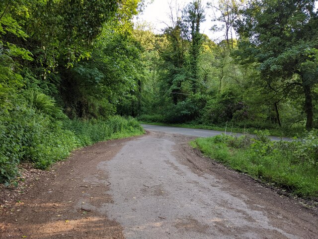
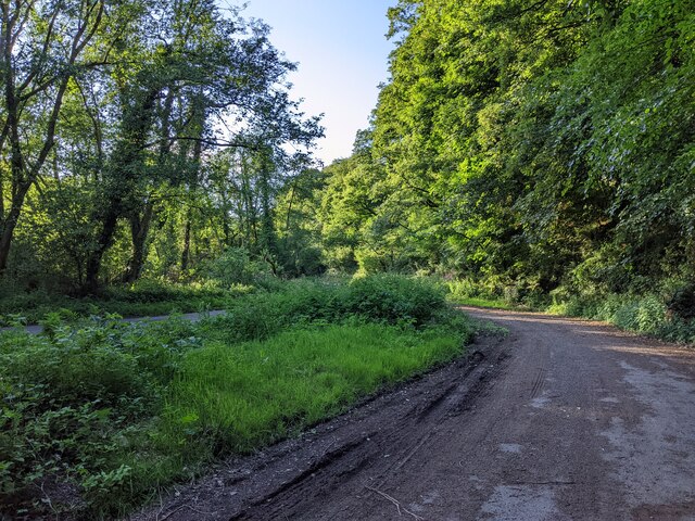
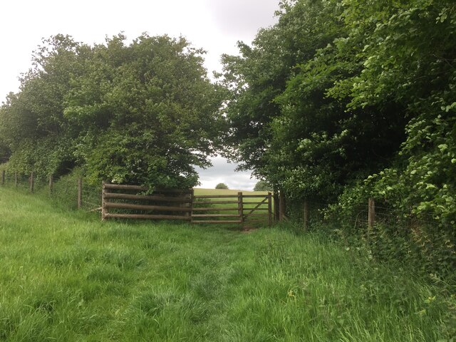
The wood is crisscrossed with a network of well-maintained footpaths and trails, allowing visitors to explore its natural beauty at their own pace. These paths are suitable for walkers of all abilities and are clearly signposted, ensuring a safe and enjoyable experience for everyone.
Furthermore, Sale Wood offers a peaceful atmosphere, making it an ideal location for those seeking solitude and a break from the noise of everyday life. The serene surroundings and the gentle rustling of leaves make it a perfect spot for meditation or simply unwinding in nature.
Overall, Sale Wood is a captivating forest that offers a tranquil escape, abundant wildlife, and an opportunity to reconnect with nature. Whether it's for a leisurely walk, a family outing, or a moment of solitude, Sale Wood is a must-visit destination for nature lovers and those seeking a peaceful retreat.
If you have any feedback on the listing, please let us know in the comments section below.
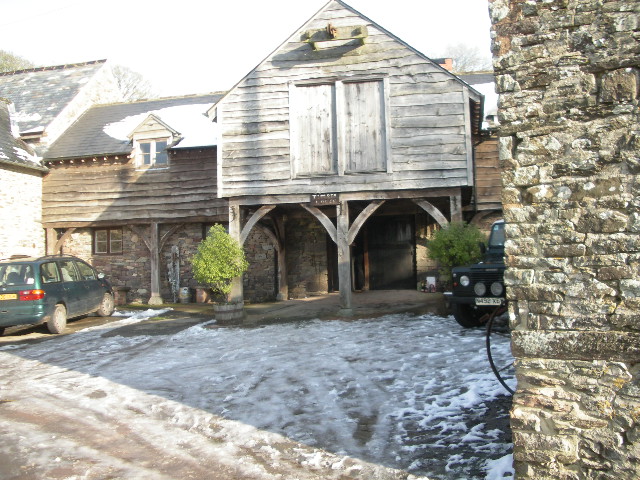
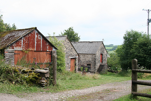
Sale Wood Images
Images are sourced within 2km of 51.064564/-3.5416965 or Grid Reference SS9230. Thanks to Geograph Open Source API. All images are credited.


Sale Wood is located at Grid Ref: SS9230 (Lat: 51.064564, Lng: -3.5416965)
Administrative County: Somerset
District: Somerset West and Taunton
Police Authority: Avon and Somerset
What 3 Words
///silence.ambushes.masses. Near Dulverton, Somerset
Related Wikis

Dulverton Rural District
Dulverton was a rural district in Somerset, England, from 1894 to 1974. It was created in 1894 under the Local Government Act 1894. In 1974 it was abolished...

Dulverton
Dulverton is a town and civil parish in west Somerset, England, near the border with Devon. The town had a population of 1,408 at the 2011 Census. The...
Barlynch Priory
Barlynch Priory (also known as St Nicholas's Priory and sometimes spelled Barlich Priory) in Brompton Regis, Somerset, England was an Augustinian priory...
Northmoor, Dulverton
Northmoor is an historic estate in the parish of Dulverton in Somerset, England. The Victorian mansion house known as Northmoor House is set amongst steep...

Oldberry Castle
Oldberry Castle (sometimes called Oldbury Castle) is an Iron Age hill fort north west of Dulverton, Somerset, England. It lies approximately 0.5 miles...

Church of All Saints, Dulverton
The Anglican Church of All Saints in Dulverton, Somerset, England was built in the 15th century and largely rebuilt in the 1850s. It is a Grade II* listed...

Dulverton Town Hall
Dulverton Town Hall is a municipal building in Fore Street in Dulverton, Somerset, England. The building, which is the meeting place of Dulverton Town...

Barle Bridge
Barle Bridge is a five span stone arch bridge over the River Barle in Dulverton within the English county of Somerset, which is medieval in origin. It...
Nearby Amenities
Located within 500m of 51.064564,-3.5416965Have you been to Sale Wood?
Leave your review of Sale Wood below (or comments, questions and feedback).