Old Burnt Plantation
Wood, Forest in Somerset Somerset West and Taunton
England
Old Burnt Plantation
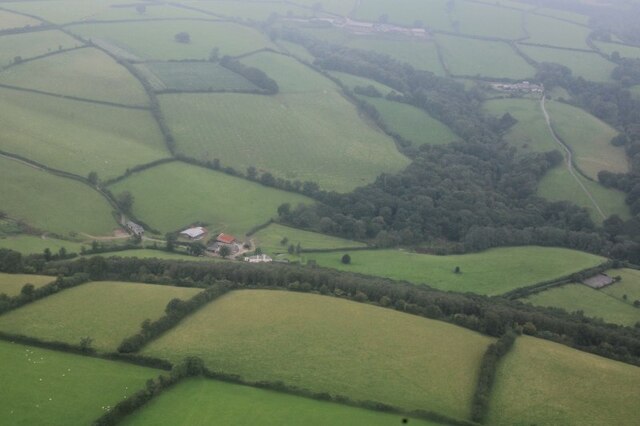
Old Burnt Plantation is a historical site located in Somerset, a small town situated in the heart of the Wood Forest in England. The plantation dates back to the 18th century and was once a thriving hub for the cultivation of tobacco and other crops. Over time, the plantation gained a notorious reputation due to several devastating fires that engulfed the property, ultimately leading to its abandonment and earning it the name "Old Burnt Plantation."
Today, Old Burnt Plantation stands as a haunting reminder of its past glory. The main house, a grand Georgian-style mansion, still remains, albeit in a dilapidated state. The once-impressive structure is now a shell of its former self, with crumbling walls and a roof that has long collapsed. The surrounding grounds, however, are still lush and overgrown, creating a surreal atmosphere.
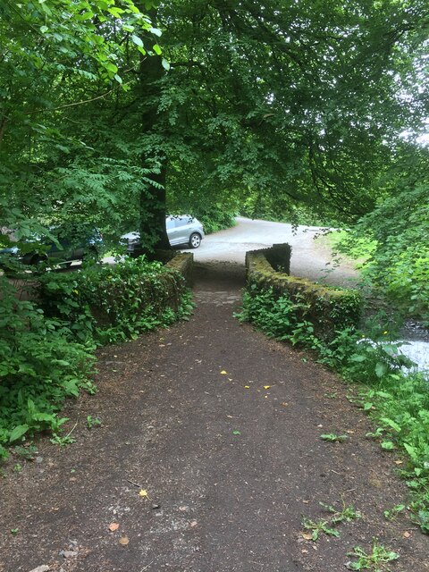
Visitors to Old Burnt Plantation can explore the grounds and witness the remnants of the once-vibrant plantation, such as the overgrown fields and crumbling slave quarters. The site serves as a poignant reminder of the dark history of slavery and the hardships endured by those who worked the land.
Despite its derelict state, Old Burnt Plantation attracts photographers, history enthusiasts, and curious tourists alike. The eerie ambiance and the sense of stepping back in time make it a popular spot for those seeking a unique and thought-provoking experience.
The local community has made efforts to preserve Old Burnt Plantation, recognizing its historical significance. Restoration projects have been proposed, but due to the extensive damage, progress has been slow. Nonetheless, the site continues to captivate visitors with its haunting beauty and serves as a powerful reminder of the region's past.
If you have any feedback on the listing, please let us know in the comments section below.
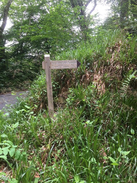
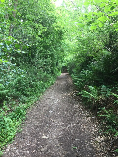
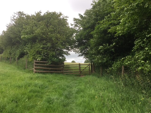
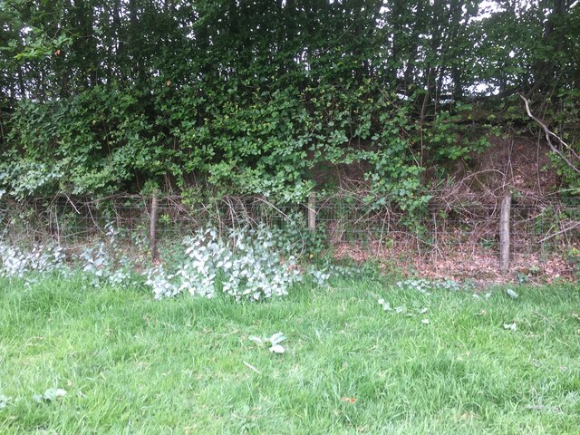
Old Burnt Plantation Images
Images are sourced within 2km of 51.052648/-3.5410724 or Grid Reference SS9229. Thanks to Geograph Open Source API. All images are credited.


Old Burnt Plantation is located at Grid Ref: SS9229 (Lat: 51.052648, Lng: -3.5410724)
Administrative County: Somerset
District: Somerset West and Taunton
Police Authority: Avon and Somerset
What 3 Words
///showcases.misted.lunching. Near Dulverton, Somerset
Nearby Locations
Related Wikis

Barlynch Priory
Barlynch Priory (also known as St Nicholas's Priory and sometimes spelled Barlich Priory) in Brompton Regis, Somerset, England was an Augustinian priory...
Dulverton Rural District
Dulverton was a rural district in Somerset, England, from 1894 to 1974. It was created in 1894 under the Local Government Act 1894. In 1974 it was abolished...

Dulverton
Dulverton is a town and civil parish in west Somerset, England, near the border with Devon. The town had a population of 1,408 at the 2011 Census. The...

Church of All Saints, Dulverton
The Anglican Church of All Saints in Dulverton, Somerset, England was built in the 15th century and largely rebuilt in the 1850s. It is a Grade II* listed...

Dulverton Town Hall
Dulverton Town Hall is a municipal building in Fore Street in Dulverton, Somerset, England. The building, which is the meeting place of Dulverton Town...

Oldberry Castle
Oldberry Castle (sometimes called Oldbury Castle) is an Iron Age hill fort north west of Dulverton, Somerset, England. It lies approximately 0.5 miles...

Barle Bridge
Barle Bridge is a five span stone arch bridge over the River Barle in Dulverton within the English county of Somerset, which is medieval in origin. It...
Northmoor, Dulverton
Northmoor is an historic estate in the parish of Dulverton in Somerset, England. The Victorian mansion house known as Northmoor House is set amongst steep...
Nearby Amenities
Located within 500m of 51.052648,-3.5410724Have you been to Old Burnt Plantation?
Leave your review of Old Burnt Plantation below (or comments, questions and feedback).