Middle Broford Wood

Wood, Forest in Somerset Somerset West and Taunton

England

Middle Broford Wood

Halscombe Farm, near Dulverton: aerial 2021
Halscombe Farm, near Dulverton: aerial 2021 Credit: Chris

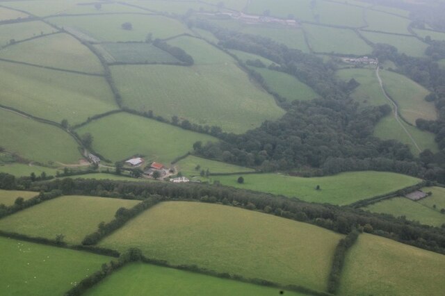
Middle Broford Wood is a charming woodland located in the county of Somerset, England. Situated near the village of Broford, the wood covers an area of approximately 100 acres and is a designated Site of Special Scientific Interest (SSSI).

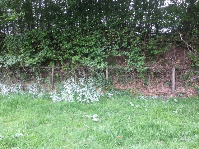
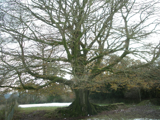
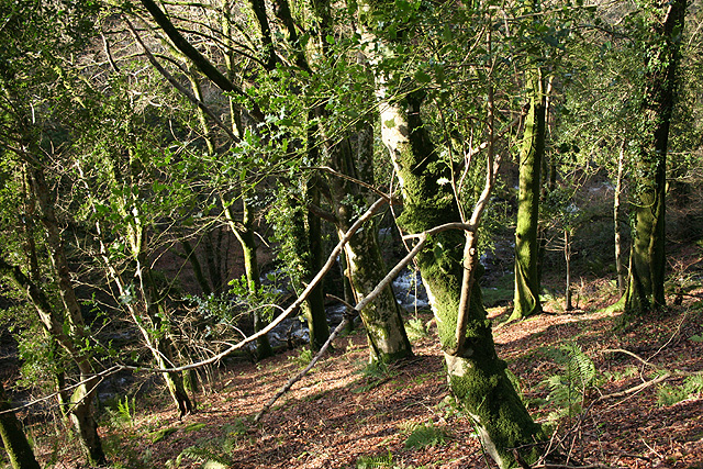
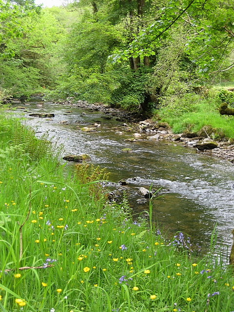
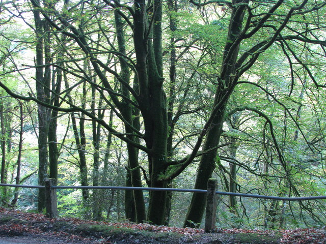
The wood is predominantly composed of native broadleaved trees, such as oak, ash, and beech, which create a beautiful and diverse canopy. These trees provide a haven for a wide variety of wildlife, including deer, foxes, squirrels, and a plethora of bird species. The wood also boasts a rich understory of flora, with bluebells, wood anemones, and primroses carpeting the forest floor during springtime.

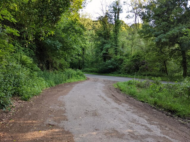
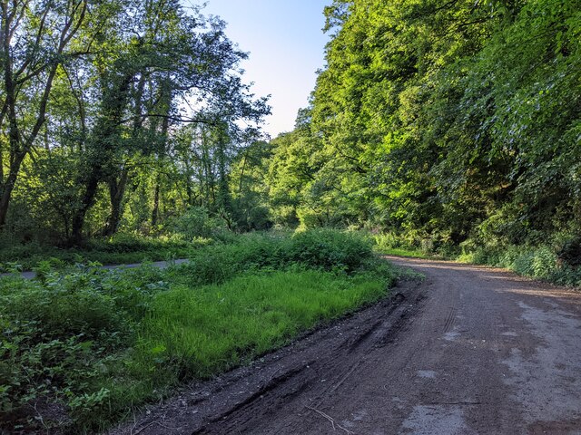
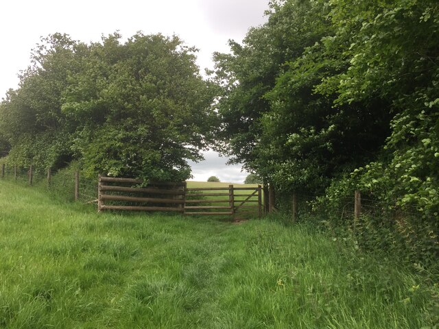
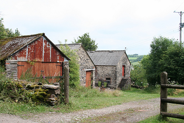
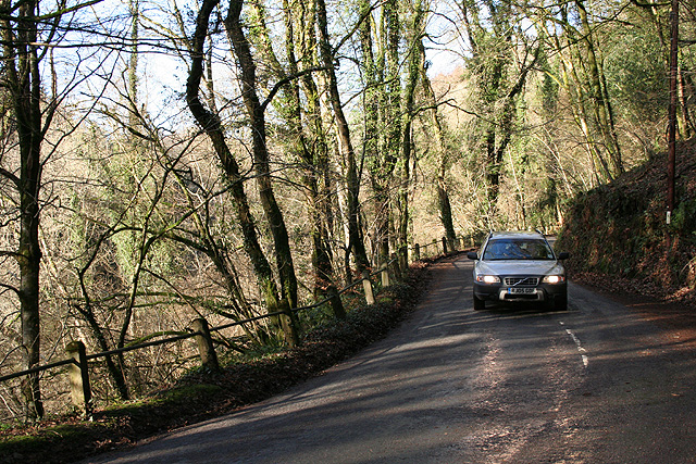
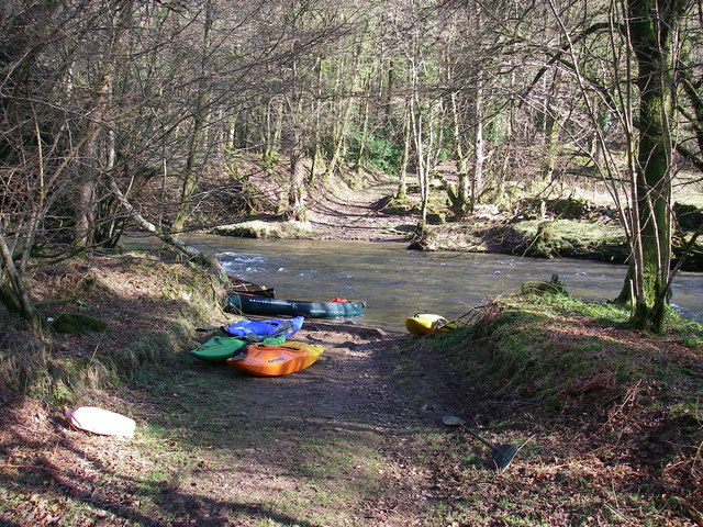
Middle Broford Wood is crisscrossed by a network of pathways, allowing visitors to explore the woodland at their leisure. These paths wind through the trees, leading to tranquil clearings and picturesque viewpoints. The wood is a popular destination for nature enthusiasts, hikers, and birdwatchers, who are drawn to its peaceful ambiance and abundant wildlife.

In addition to its natural beauty, Middle Broford Wood also has historical significance. The wood has evidence of ancient woodland management practices, such as coppicing and pollarding, which have been carried out for centuries. These practices have helped maintain the diverse flora and fauna within the wood.

Overall, Middle Broford Wood is a captivating woodland that offers visitors a chance to connect with nature and immerse themselves in its tranquil surroundings. With its rich biodiversity and historical relevance, it is a true gem of Somerset.

If you have any feedback on the listing, please let us know in the comments section below.

Middle Broford Wood Images

Images are sourced within 2km of 51.065899/-3.5393575 or Grid Reference SS9230. Thanks to Geograph Open Source API. All images are credited.

Halscombe Farm, near Dulverton: aerial 2021
Layby on the A396, looking south
Layby on the A396, looking north
South Hill on Exmoor  View north towards South Hill from the B3223.
South Hill on Exmoor
View north towards South Hill from the B3223.
Nearly there, path to Court Down
Court Down Trig Point Flush Bracket S3968
White nettles near Court Down Chalky soil spraying up onto plants, found this an odd sight
White nettles near Court Down
Chalky soil spraying up onto plants, found this an odd sight
Dulverton: Northcombe Farm View from the footpath to Court Down. The water-powered millhouse at Northcombe has been converted into a camping barn; the shrouds of the overshot waterwheel survive outside
Dulverton: Northcombe Farm
View from the footpath to Court Down. The water-powered millhouse at Northcombe has been converted into a camping barn; the shrouds of the overshot waterwheel survive outside
North Coombe Farm Camping Barn Wonderful spot to stay, to walk, to relax
North Coombe Farm Camping Barn
Wonderful spot to stay, to walk, to relax
majestic hedge bank beech (Fagus Sylvatica) One of many magnificent trees in the Dulverton area
majestic hedge bank beech (Fagus Sylvatica)
One of many magnificent trees in the Dulverton area
Dulverton: Stockham Former farm buildings. Looking east-north-east
Dulverton: Stockham
Former farm buildings. Looking east-north-east
Brompton Regis: the A396 in the Exe Valley River and road adjoin. Looking west-south-west on the edge of Brockhole Wood
Brompton Regis: the A396 in the Exe Valley
River and road adjoin. Looking west-south-west on the edge of Brockhole Wood
Dulverton: Looseall Wood By the B3223 road to Exmoor and Simonsbath. Looking west-north-west
Dulverton: Looseall Wood
By the B3223 road to Exmoor and Simonsbath. Looking west-north-west
Dulverton: the B3223 in Looseall Wood The road to Exmoor and Simonsbath in the steep-sided valley of a Barle tributary. Looking north
Dulverton: the B3223 in Looseall Wood
The road to Exmoor and Simonsbath in the steep-sided valley of a Barle tributary. Looking north
Ford over the Exe A ford where a private track crosses the river Exe
Ford over the Exe
A ford where a private track crosses the river Exe
River Exe The river Exe (or Little Exe as it is known locally above the Exe/Barle junction) near Barlynch Farm.
River Exe
The river Exe (or Little Exe as it is known locally above the Exe/Barle junction) near Barlynch Farm.
Looseall Wood
Looseall Wood
Dulverton: near Chilly Bridge The Exe valley, looking south-south-east
Dulverton: near Chilly Bridge
The Exe valley, looking south-south-east
Show me another place!

Middle Broford Wood is located at Grid Ref: SS9230 (Lat: 51.065899, Lng: -3.5393575)

Administrative County: Somerset

District: Somerset West and Taunton

Police Authority: Avon and Somerset

What 3 Words

///envy.impresses.northward. Near Dulverton, Somerset

Related Wikis

Barlynch Priory

Barlynch Priory (also known as St Nicholas's Priory and sometimes spelled Barlich Priory) in Brompton Regis, Somerset, England was an Augustinian priory...

Dulverton Rural District

Dulverton was a rural district in Somerset, England, from 1894 to 1974. It was created in 1894 under the Local Government Act 1894. In 1974 it was abolished...

Dulverton

Dulverton is a town and civil parish in west Somerset, England, near the border with Devon. The town had a population of 1,408 at the 2011 Census. The...

Northmoor, Dulverton

Northmoor is an historic estate in the parish of Dulverton in Somerset, England. The Victorian mansion house known as Northmoor House is set amongst steep...

Exton, Somerset

Exton is a village and civil parish 5 miles (8 km) north-east of Dulverton and 9 miles (14 km) south-west of Dunster in Somerset, England. It lies on the...

Oldberry Castle

Oldberry Castle (sometimes called Oldbury Castle) is an Iron Age hill fort north west of Dulverton, Somerset, England. It lies approximately 0.5 miles...

Church of All Saints, Dulverton

The Anglican Church of All Saints in Dulverton, Somerset, England was built in the 15th century and largely rebuilt in the 1850s. It is a Grade II* listed...

St Peter's Church, Exton

The Anglican St Peter's Church at Exton within the English county of Somerset has a 13th-century tower and 15th century aisle. It is a Grade II* listed...

Related Videos

Just Judgment and justice

Seeking peace together and peace in our hearts.

Nearby Amenities

Located within 500m of 51.065899,-3.5393575
Stags Head Cross
Junction: yes
Lat/Long: 51.0680479/-3.5370903
Historic: milestone
Inscription: 15 Miles to Minehead
Lat/Long: 51.0669476/-3.5372568
Post Box
Operator: Royal Mail
Operator Wikidata: Q638098
Post Box Type: wall
Ref: TA22 43
Royal Cypher: VR
Royal Cypher Wikidata: Q33102356
Lat/Long: 51.0653942/-3.5370918
Parking
Lat/Long: 51.0635098/-3.5354093
Stagshead Farm Exmoor B&B
Addr City: Dulverton
Addr Country: GB
Addr County: Somerset
Addr Housename: Stagshead Farm
Addr Postcode: TA22 9JJ
Addr Street: Hownel Lane
Addr Village: Bridgetown
Fhrs Authority: West Somerset
Fhrs Id: 775652
Fhrs Local Authority Id: PI/000009516
Tourism: guest_house
Wikidata: Q26554740
Lat/Long: 51.0680998/-3.5368681
Power: pole
Lat/Long: 51.0653052/-3.5333904
Power: pole
Lat/Long: 51.0647627/-3.532737
Power: pole
Lat/Long: 51.0659592/-3.5341905
Power: pole
Lat/Long: 51.0664525/-3.5329459
Power: pole
Lat/Long: 51.0673733/-3.532706
Power: pole
Lat/Long: 51.0676239/-3.5336073
Power: pole
Lat/Long: 51.0679974/-3.5349682
Power: pole
Lat/Long: 51.068151/-3.5355489
Power: pole
Lat/Long: 51.0678896/-3.5345575
Blackbeards Copse
Place: locality
Lat/Long: 51.0642393/-3.5350023
Natural: spring
Lat/Long: 51.0659292/-3.5326967
The data included in this document is from www.openstreetmap.org. The data is made available under ODbL.

Have you been to Middle Broford Wood?

Leave your review of Middle Broford Wood below (or comments, questions and feedback).