Barnspark Plantation
Wood, Forest in Somerset Somerset West and Taunton
England
Barnspark Plantation
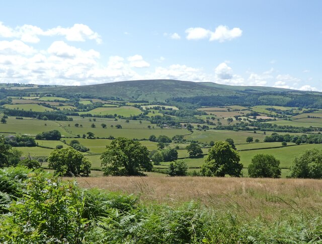
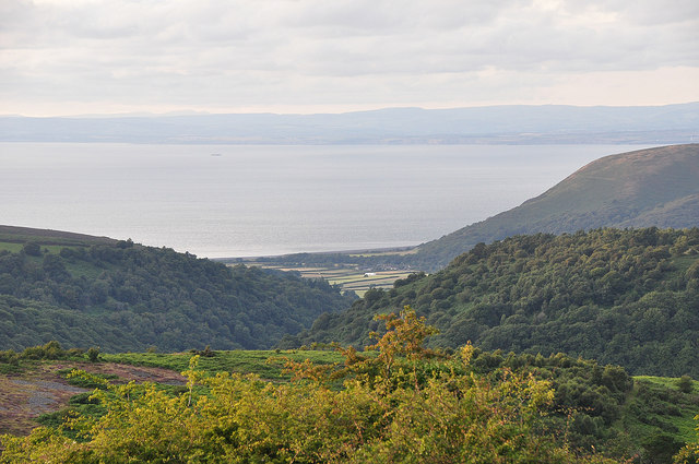
Barnspark Plantation is a picturesque woodland located in Somerset, England. Situated on the outskirts of the rural village of Wood, this plantation offers a serene and tranquil environment for visitors to enjoy.
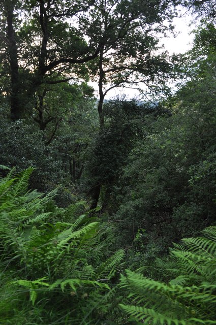
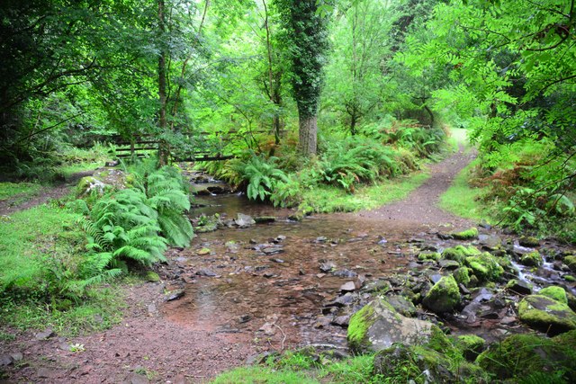
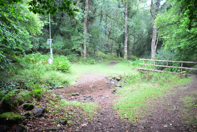
Covering an expansive area, Barnspark Plantation is known for its dense forest and diverse range of tree species. The plantation is predominantly made up of native British trees, including oak, beech, and birch, which provide a rich and varied habitat for numerous wildlife species.
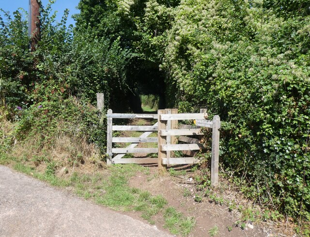
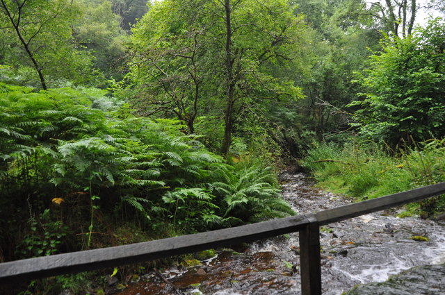
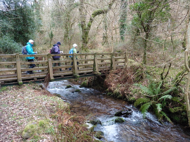
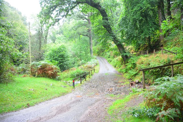
The woodland boasts a network of well-maintained walking trails, allowing visitors to explore its natural beauty at their own pace. These trails wind their way through the plantation, taking visitors past towering trees, babbling brooks, and carpeted forest floors. The peacefulness of the surroundings makes it an ideal location for nature enthusiasts, hikers, and those seeking a break from the hustle and bustle of daily life.
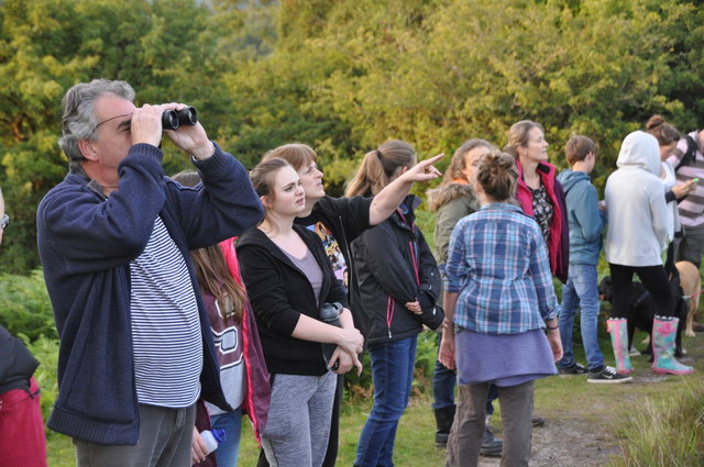
Barnspark Plantation is also home to a variety of wildlife, from small mammals such as squirrels and hedgehogs to a wide range of bird species. Visitors may catch a glimpse of woodpeckers, owls, or even deer during their walk through the plantation.
For those looking to immerse themselves in the beauty of nature, Barnspark Plantation provides an idyllic setting. Whether it's a leisurely stroll, birdwatching, or simply finding solace in the peaceful surroundings, this woodland sanctuary offers a refreshing escape from the outside world.
If you have any feedback on the listing, please let us know in the comments section below.
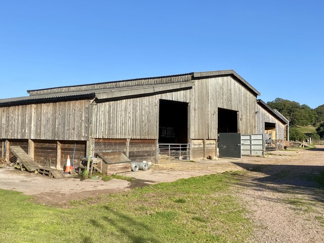
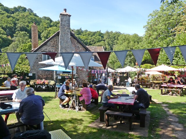
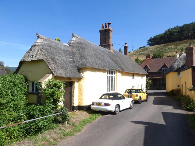
Barnspark Plantation Images
Images are sourced within 2km of 51.185815/-3.5578453 or Grid Reference SS9144. Thanks to Geograph Open Source API. All images are credited.
Barnspark Plantation is located at Grid Ref: SS9144 (Lat: 51.185815, Lng: -3.5578453)
Administrative County: Somerset
District: Somerset West and Taunton
Police Authority: Avon and Somerset
What 3 Words
///frocks.hides.openly. Near Porlock, Somerset
Nearby Locations
Related Wikis

Luccombe, Somerset
Luccombe or Luckham is a village and civil parish in the Exmoor National Park in the English county of Somerset. It at the foot of the moor's highest hill...

Dovecot at Blackford Farm
The Dovecot At Blackford Farm in Selworthy on Exmoor within the English county of Somerset was probably built in the 11th century. It is a Grade II* listed...

Holnicote Estate
Holnicote (pronounced "Hunnicutt") in the parish of Selworthy, West Somerset, England, is a historic estate consisting of 12,420 acres (5,026 hectares...

Chapel of St Leonard, Tivington
The Anglican Chapel of St Leonard in Tivington, Somerset, England was built in the mid 14th century as a chapel of ease. It is a Grade II* listed building...

Sweetworthy
Sweetworthy is the site of two Iron Age hill forts or enclosures at Luccombe, 4 kilometres (2 mi) south of Porlock, Somerset, England. They are on the...

Selworthy
Selworthy is a small village and civil parish 5 kilometres (3 mi) from Minehead in Somerset, England. It is located in the National Trust's Holnicote Estate...

Wootton Courtenay
Wootton Courtenay is a village and civil parish on Exmoor in the Somerset West and Taunton district of Somerset, England. The parish includes the hamlets...

Coleridge Way
The Coleridge Way is a 51-mile (82 km) long-distance trail in Somerset and Devon, England. It was opened in April 2005, and the route links several sites...
Nearby Amenities
Located within 500m of 51.185815,-3.5578453Have you been to Barnspark Plantation?
Leave your review of Barnspark Plantation below (or comments, questions and feedback).