Knowle Top
Hill, Mountain in Somerset Somerset West and Taunton
England
Knowle Top
Knowle Top is a prominent hill located in Somerset, a county in southwestern England. It is situated near the village of Knowle St Giles, approximately 5 miles east of the town of Chard. Despite its name, Knowle Top is more accurately described as a hill rather than a mountain, as it reaches an elevation of around 315 meters (1,033 feet) above sea level.
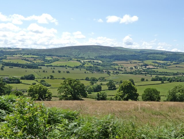
The hill offers breathtaking views of the surrounding countryside, including the picturesque Blackdown Hills Area of Outstanding Natural Beauty to the south and the Somerset Levels to the west. Its strategic location makes it an ideal spot for hikers, nature enthusiasts, and photographers seeking to capture the beauty of the Somerset landscape.
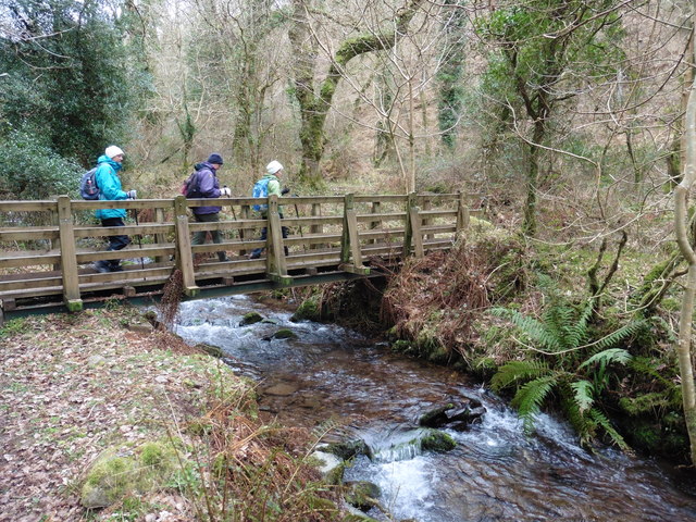
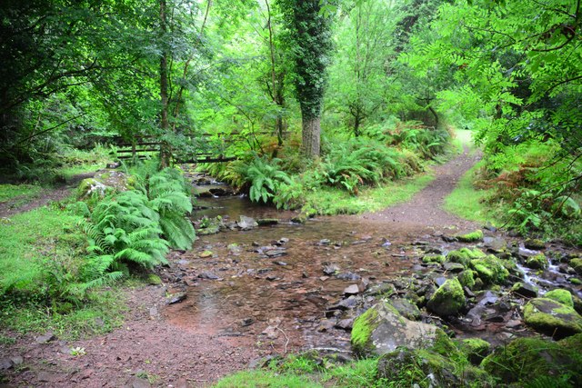
Knowle Top is covered in green pastures, dotted with patches of woodland, and adorned with wildflowers during the summer months. The area is home to a diverse range of wildlife, including various species of birds, butterflies, and small mammals. Walking trails wind their way up the hill, providing visitors with the opportunity to explore the countryside and enjoy the tranquility of the area.
At the summit of Knowle Top, there is a trig point, which serves as a reference point for map-making and surveying purposes. This point also offers panoramic views of the surrounding area, making it a popular spot for visitors to take in the stunning vistas and capture memorable photographs.
Knowle Top is a hidden gem in Somerset, offering visitors a chance to connect with nature and immerse themselves in the beauty of the English countryside.
If you have any feedback on the listing, please let us know in the comments section below.
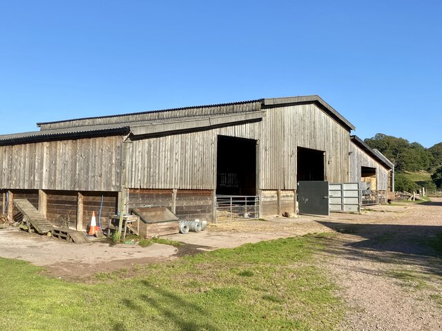
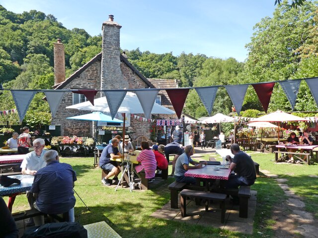
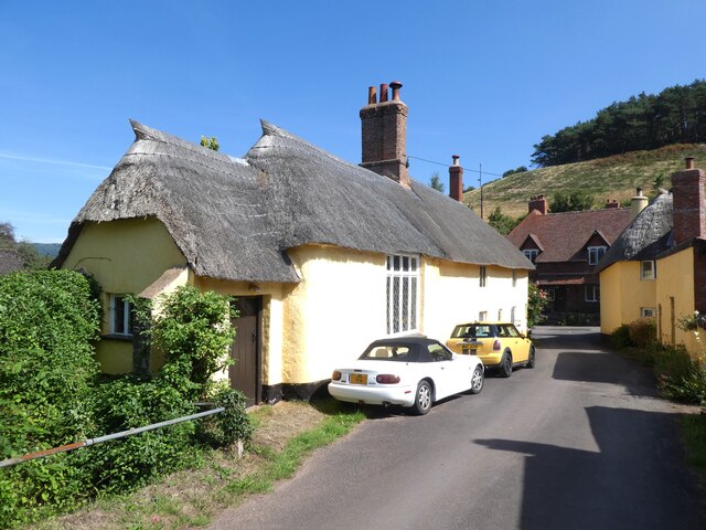
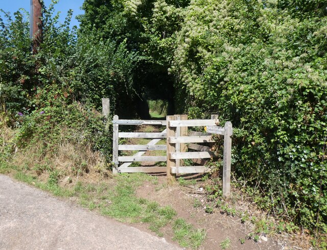
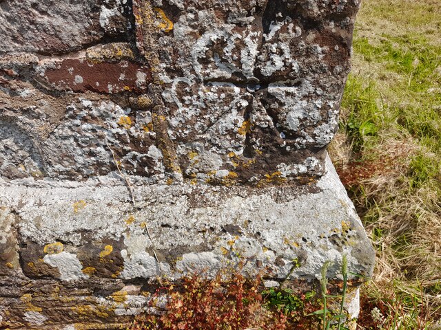
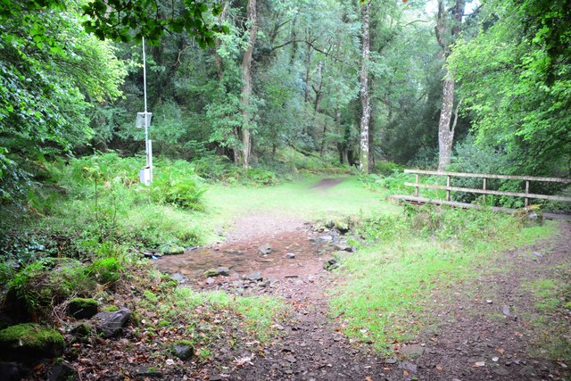
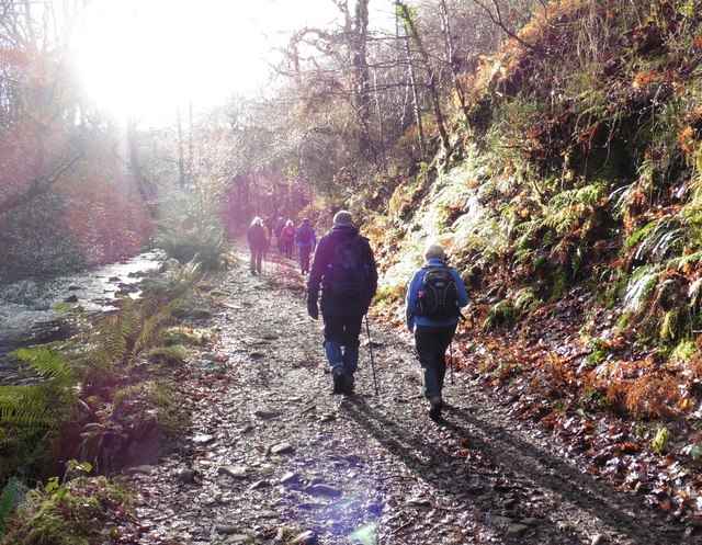
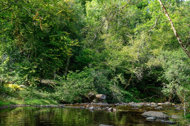
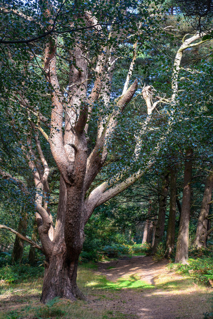
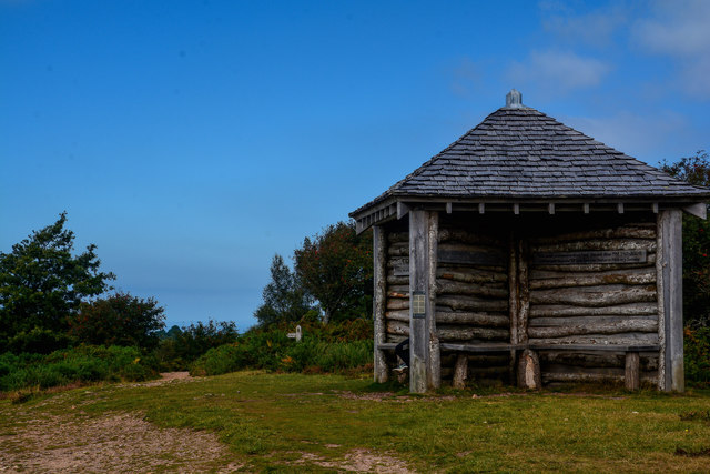
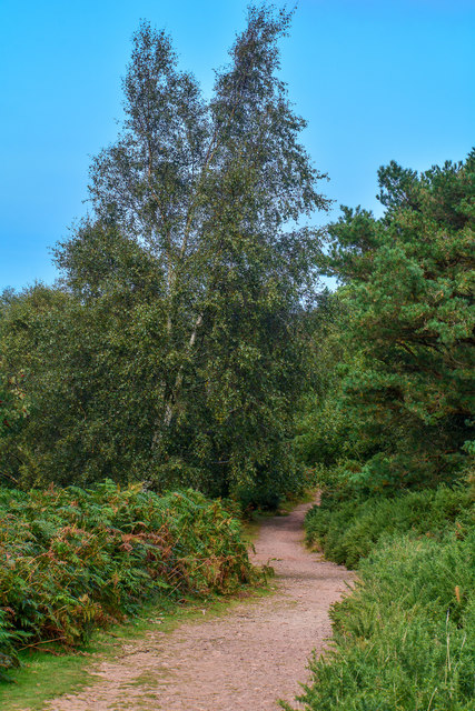
Knowle Top Images
Images are sourced within 2km of 51.189336/-3.5567906 or Grid Reference SS9144. Thanks to Geograph Open Source API. All images are credited.
Knowle Top is located at Grid Ref: SS9144 (Lat: 51.189336, Lng: -3.5567906)
Administrative County: Somerset
District: Somerset West and Taunton
Police Authority: Avon and Somerset
What 3 Words
///satellite.disclose.chase. Near Porlock, Somerset
Nearby Locations
Related Wikis

Luccombe, Somerset
Luccombe or Luckham is a village and civil parish in the Exmoor National Park in the English county of Somerset. It at the foot of the moor's highest hill...

Dovecot at Blackford Farm
The Dovecot At Blackford Farm in Selworthy on Exmoor within the English county of Somerset was probably built in the 11th century. It is a Grade II* listed...

Holnicote Estate
Holnicote (pronounced "Hunnicutt") in the parish of Selworthy, West Somerset, England, is a historic estate consisting of 12,420 acres (5,026 hectares...

Chapel of St Leonard, Tivington
The Anglican Chapel of St Leonard in Tivington, Somerset, England was built in the mid 14th century as a chapel of ease. It is a Grade II* listed building...

Selworthy
Selworthy is a small village and civil parish 5 kilometres (3 mi) from Minehead in Somerset, England. It is located in the National Trust's Holnicote Estate...

West Somerset Rural Life Museum and Victorian School
The West Somerset Rural Life Museum is a small museum in Allerford, Somerset, England. The building was built in 1821 as the village school and was closed...

Coleridge Way
The Coleridge Way is a 51-mile (82 km) long-distance trail in Somerset and Devon, England. It was opened in April 2005, and the route links several sites...

Bury Castle, Selworthy
Bury Castle is an Iron Age hillfort near Selworthy, Somerset, England. It has been designated as a scheduled monument. == History == Bury Castle was built...
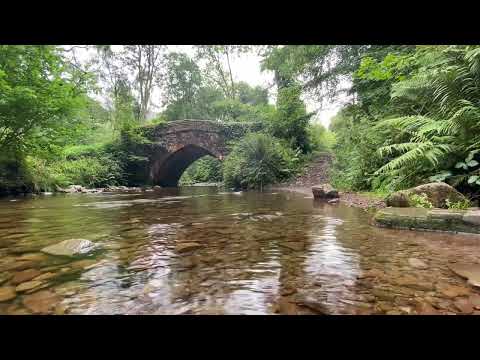
Related Videos
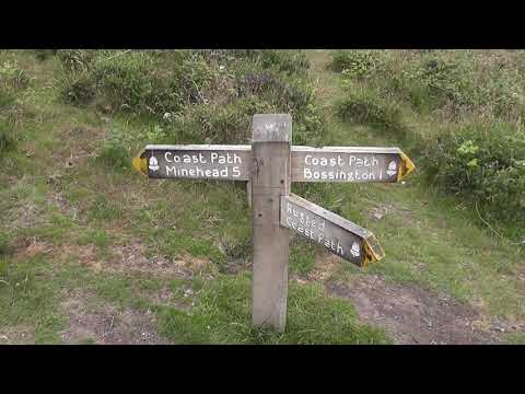
HF walks 3, Selworthy: Coast, views and villages. 17/7/19.
A splendid 11.4 miles of walking in North West Somerset. After leaving the House, and crossing the A39, the walker is soon ...

A night on Exmoor.....Daddy time
Took the boy on his first ever van life night away at Webbers post, some tutorials in water photography and just a jolly good time ...
Horner
photography #england #nature #viral #flower #travel #peace #therapy #massage #nature #relaxing #water #flow #stream ...

Exmoor - Horner Wood National Trust
Join me (and some birds!) for lunch at National Trust Horner Woods on Exmoor, Somerset and then a wonderful lush green walk ...
Nearby Amenities
Located within 500m of 51.189336,-3.5567906Have you been to Knowle Top?
Leave your review of Knowle Top below (or comments, questions and feedback).