Luccombe Mill Copse
Wood, Forest in Somerset Somerset West and Taunton
England
Luccombe Mill Copse
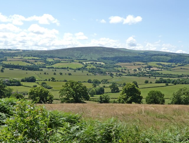
Luccombe Mill Copse is a picturesque woodland located in Somerset, England. Situated in the heart of the Exmoor National Park, this charming copse spans over 80 acres of land and is known for its tranquil atmosphere and diverse wildlife.
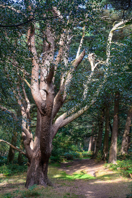
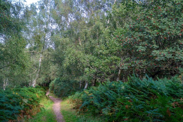
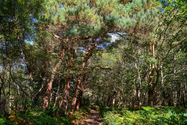
The copse is primarily composed of mixed broadleaf trees, including oak, beech, and ash, creating a vibrant and lush canopy that stretches across the landscape. These trees provide a habitat for a variety of bird species, such as woodpeckers, owls, and warblers, making it a haven for birdwatching enthusiasts.
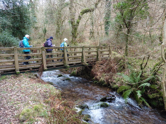
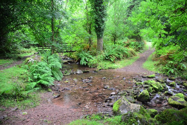
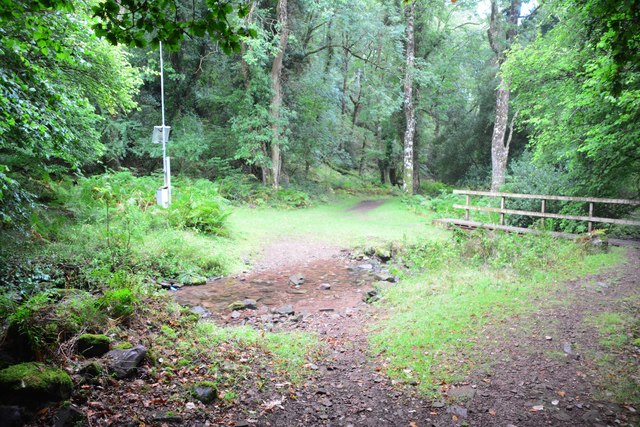
Luccombe Mill Copse is intersected by a small stream, which adds to the beauty of the surroundings. The stream runs through the woodland, forming gentle cascades and pools, providing a peaceful backdrop for visitors to enjoy.
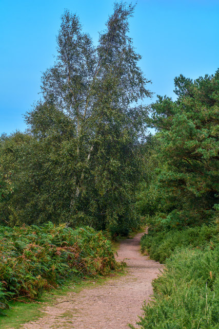
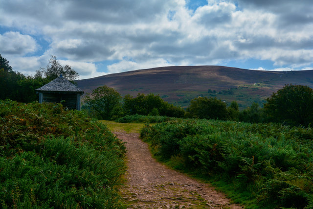
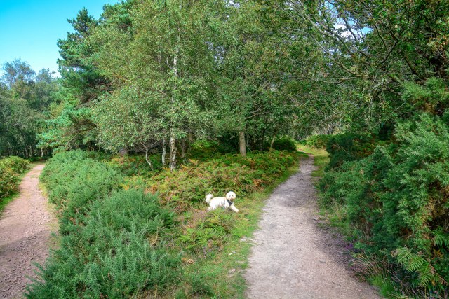
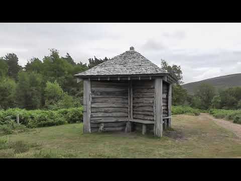
Walking trails wind through the copse, offering visitors the opportunity to explore its natural beauty. These trails are well-maintained and suitable for all levels of fitness, making it an ideal destination for a leisurely stroll or a more vigorous hike.
In addition to the stunning natural scenery, Luccombe Mill Copse is also home to a variety of wildlife. Deer, badgers, and foxes can often be spotted in the early morning or late evening, while rabbits and squirrels can be seen darting among the trees throughout the day.
Overall, Luccombe Mill Copse is a true gem of Somerset, offering visitors a chance to immerse themselves in the beauty of nature and experience the tranquility of a woodland setting.
If you have any feedback on the listing, please let us know in the comments section below.
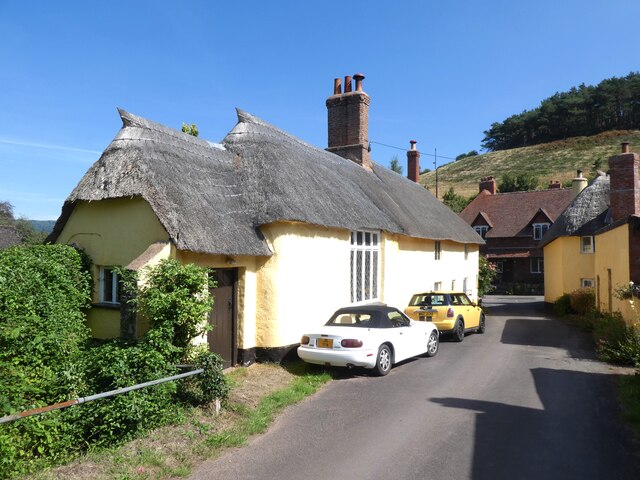
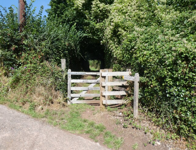
Luccombe Mill Copse Images
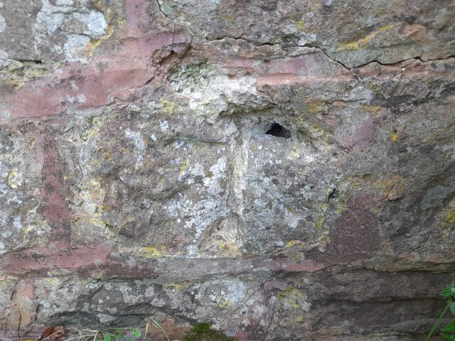
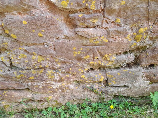
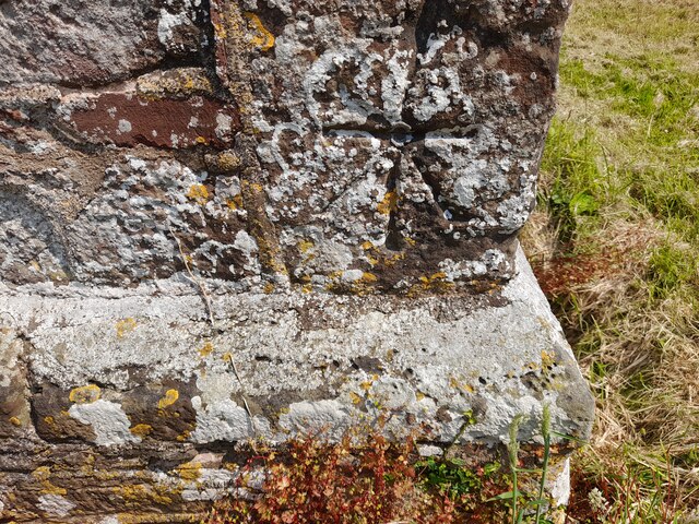
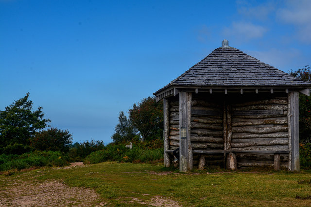
Images are sourced within 2km of 51.187774/-3.5505132 or Grid Reference SS9144. Thanks to Geograph Open Source API. All images are credited.
Luccombe Mill Copse is located at Grid Ref: SS9144 (Lat: 51.187774, Lng: -3.5505132)
Administrative County: Somerset
District: Somerset West and Taunton
Police Authority: Avon and Somerset
What 3 Words
///arranged.sunblock.rapport. Near Porlock, Somerset
Nearby Locations
Related Wikis


Related Videos

A night on Exmoor.....Daddy time
Took the boy on his first ever van life night away at Webbers post, some tutorials in water photography and just a jolly good time ...
HF walks 3, Selworthy: Coast, views and villages. 17/7/19.
A splendid 11.4 miles of walking in North West Somerset. After leaving the House, and crossing the A39, the walker is soon ...
HF Walks 3: Dunkery Beacon and Horner Water. 18/7/19.
This wonderful 11.5 mile walk didn't get totally filmed, unfortunately. Just after Dunkery Beacon, Exmoor's highest point at 1705 ...

Nearby Amenities
Located within 500m of 51.187774,-3.5505132Have you been to Luccombe Mill Copse?
Leave your review of Luccombe Mill Copse below (or comments, questions and feedback).