Luccombe
Settlement in Somerset Somerset West and Taunton
England
Luccombe
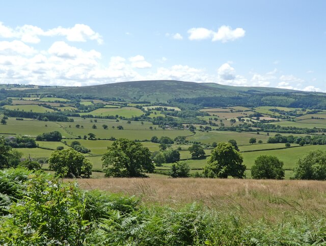
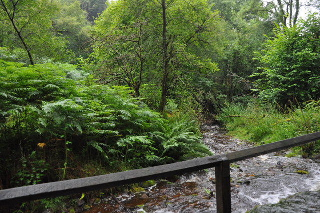
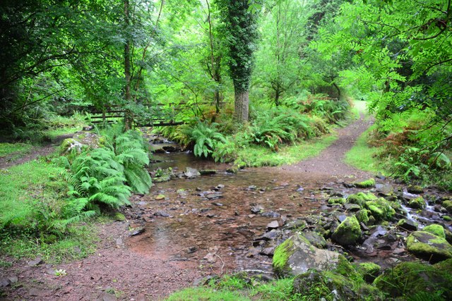
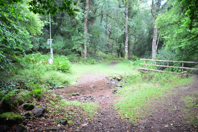
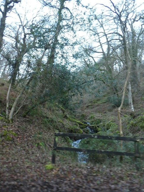
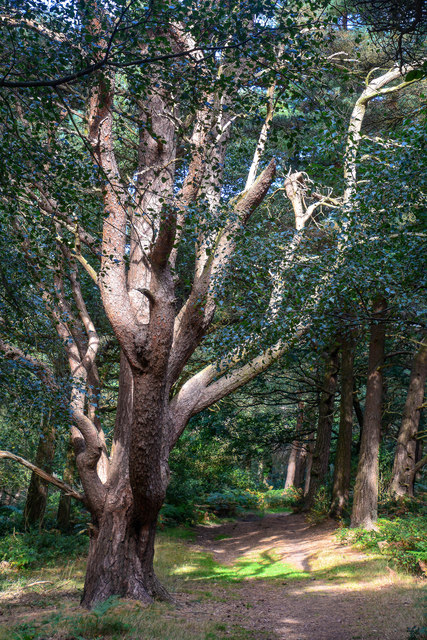
Luccombe is a small village located in the county of Somerset, England. Situated in the Exmoor National Park, it is nestled within the rolling hills and picturesque landscape that characterizes this region. Luccombe is surrounded by stunning natural beauty, with lush green meadows, dense woodlands, and the tranquil River Luccombe flowing through the village.
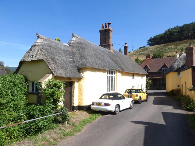
The village itself is known for its charming and traditional stone houses, many of which date back to the 17th and 18th centuries. These well-preserved buildings add to the village's quaint and timeless atmosphere. Luccombe is a close-knit community, with a small population that values its rural and peaceful surroundings.
Despite its small size, Luccombe offers a range of amenities for both residents and visitors. The village has a local pub, The Luccombe Arms, which is a popular spot for locals to gather and enjoy a pint. There are also several bed and breakfast accommodations, providing a comfortable stay for those exploring the surrounding natural beauty.
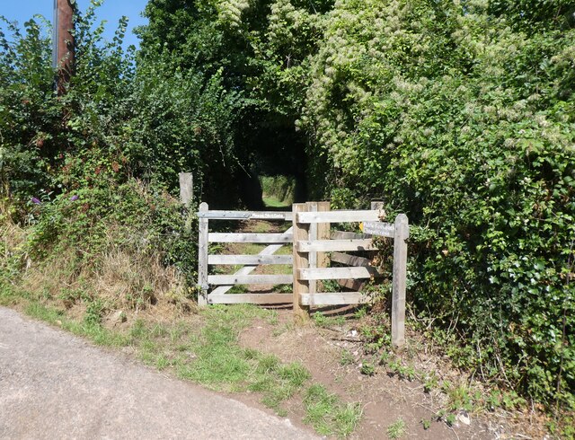
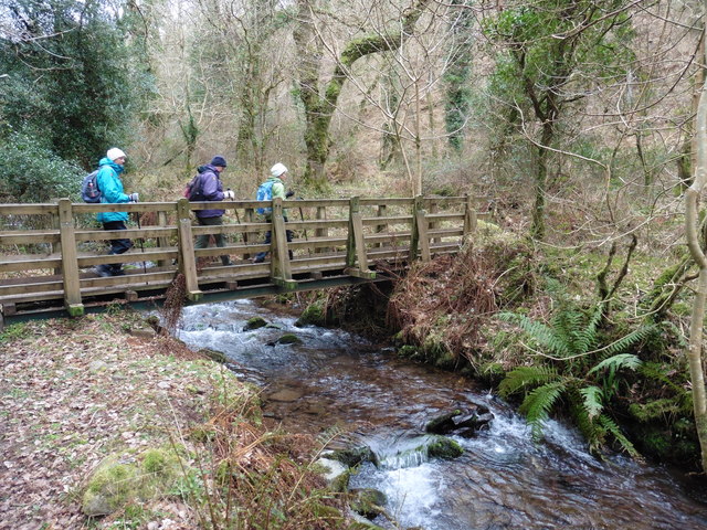
Luccombe is an ideal destination for outdoor enthusiasts. The village is surrounded by numerous walking trails, allowing visitors to explore the stunning countryside. The nearby Dunkery Beacon, the highest point on Exmoor, offers panoramic views of the surrounding area. Wildlife lovers will also appreciate the diverse range of flora and fauna that can be found in Luccombe and its surrounding areas.
Overall, Luccombe is a charming and picturesque village that offers a peaceful retreat for those seeking a break from the hustle and bustle of city life. Its natural beauty, traditional architecture, and friendly community make it a hidden gem within the Somerset countryside.
If you have any feedback on the listing, please let us know in the comments section below.
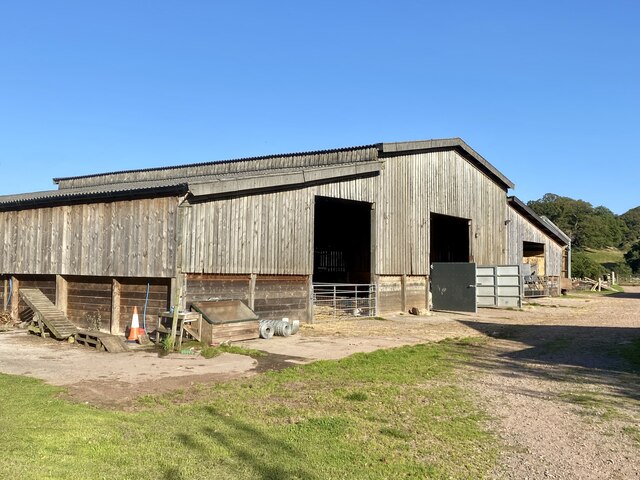
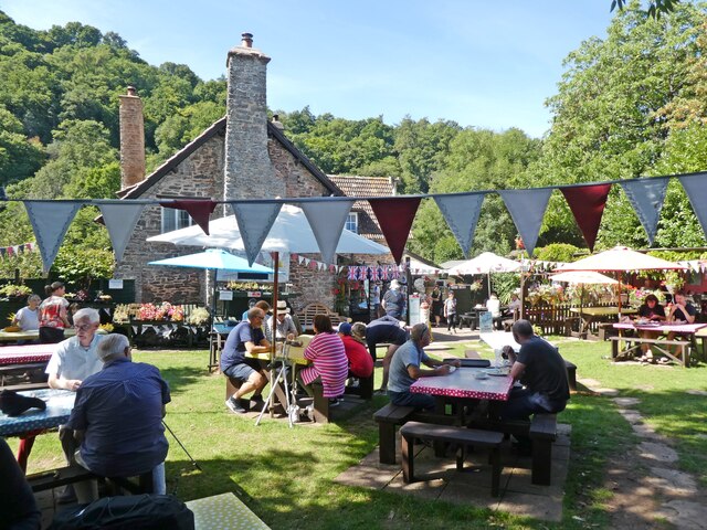
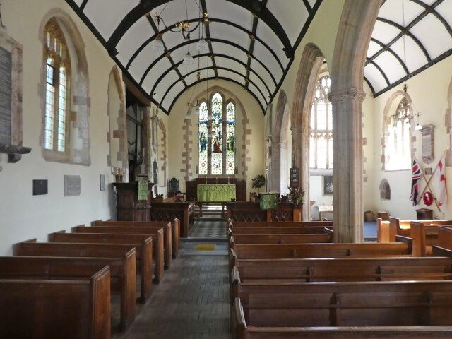
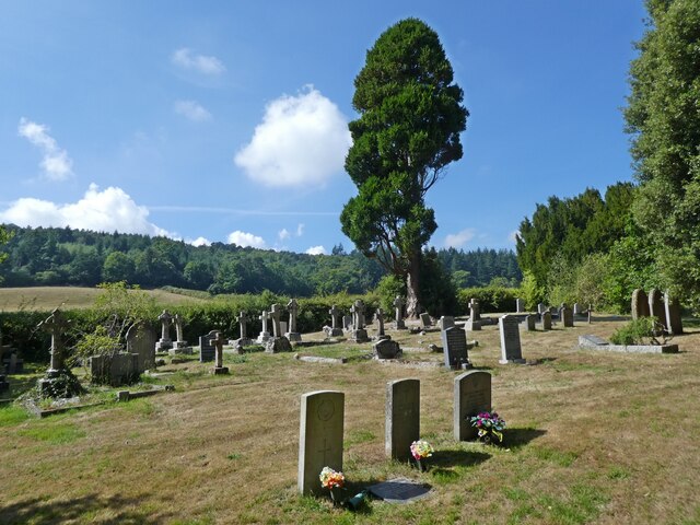
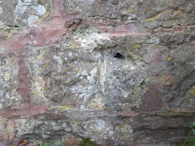
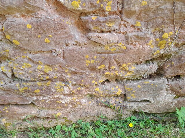
Luccombe Images
Images are sourced within 2km of 51.189441/-3.559163 or Grid Reference SS9144. Thanks to Geograph Open Source API. All images are credited.


Luccombe is located at Grid Ref: SS9144 (Lat: 51.189441, Lng: -3.559163)
Administrative County: Somerset
District: Somerset West and Taunton
Police Authority: Avon and Somerset
What 3 Words
///pitching.leathers.material. Near Porlock, Somerset
Nearby Locations
Related Wikis

Luccombe, Somerset
Luccombe or Luckham is a village and civil parish in the Exmoor National Park in the English county of Somerset. It at the foot of the moor's highest hill...

Dovecot at Blackford Farm
The Dovecot At Blackford Farm in Selworthy on Exmoor within the English county of Somerset was probably built in the 11th century. It is a Grade II* listed...

Holnicote Estate
Holnicote (pronounced "Hunnicutt") in the parish of Selworthy, West Somerset, England, is a historic estate consisting of 12,420 acres (5,026 hectares...

Chapel of St Leonard, Tivington
The Anglican Chapel of St Leonard in Tivington, Somerset, England was built in the mid 14th century as a chapel of ease. It is a Grade II* listed building...

Selworthy
Selworthy is a small village and civil parish 5 kilometres (3 mi) from Minehead in Somerset, England. It is located in the National Trust's Holnicote Estate...

Coleridge Way
The Coleridge Way is a 51-mile (82 km) long-distance trail in Somerset and Devon, England. It was opened in April 2005, and the route links several sites...

West Somerset Rural Life Museum and Victorian School
The West Somerset Rural Life Museum is a small museum in Allerford, Somerset, England. The building was built in 1821 as the village school and was closed...

Bury Castle, Selworthy
Bury Castle is an Iron Age hillfort near Selworthy, Somerset, England. It has been designated as a scheduled monument. == History == Bury Castle was built...
Nearby Amenities
Located within 500m of 51.189441,-3.559163Have you been to Luccombe?
Leave your review of Luccombe below (or comments, questions and feedback).