Luccombe Village
Settlement in Hampshire
England
Luccombe Village
Luccombe Village is a picturesque hamlet located in the county of Hampshire, England. Situated in the South Downs National Park, it is nestled in the heart of the stunning countryside, offering residents and visitors breathtaking views of rolling hills and lush greenery.
With a population of around 150 people, Luccombe Village retains a tranquil and close-knit community atmosphere. The village is known for its charming thatched cottages, many of which date back several centuries, adding to its unique character. These traditional dwellings are complemented by well-maintained gardens and flower-filled borders, creating a delightful ambiance throughout the village.
Luccombe Village is blessed with a wealth of natural beauty and outdoor recreational opportunities. The surrounding countryside offers numerous walking trails, allowing visitors to explore the idyllic landscapes and discover hidden gems such as ancient woodlands, meandering streams, and wildflower meadows. The village also boasts a small cricket ground, where locals and visitors can enjoy watching or participating in this quintessentially English sport.
While Luccombe Village is predominantly residential, it benefits from its proximity to nearby towns and villages. The town of Petersfield, located just a short drive away, provides a range of amenities, including shops, schools, and healthcare facilities. Additionally, the historic city of Winchester is within easy reach, offering further cultural, shopping, and entertainment options.
In summary, Luccombe Village is a picturesque and tranquil hamlet, offering residents and visitors a peaceful retreat in the midst of Hampshire's stunning natural landscapes.
If you have any feedback on the listing, please let us know in the comments section below.
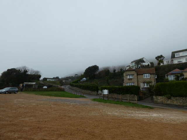
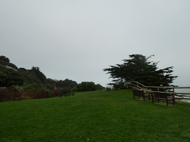
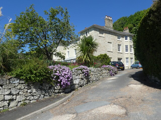
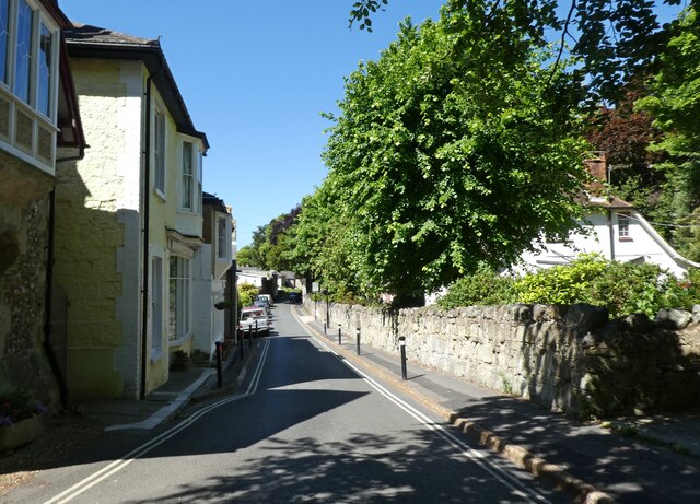
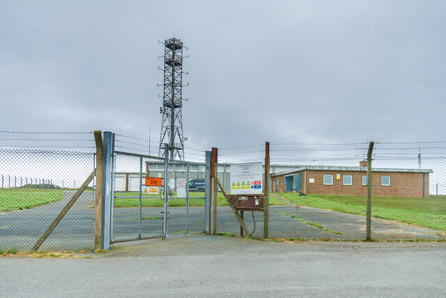
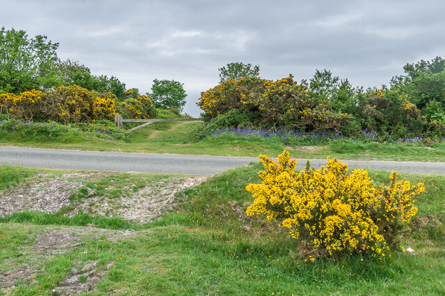
Luccombe Village Images
Images are sourced within 2km of 50.61388/-1.180611 or Grid Reference SZ5879. Thanks to Geograph Open Source API. All images are credited.


Luccombe Village is located at Grid Ref: SZ5879 (Lat: 50.61388, Lng: -1.180611)
Unitary Authority: Isle of Wight
Police Authority: Hampshire
What 3 Words
///purse.splat.crisis. Near Shanklin, Isle of Wight
Nearby Locations
Related Wikis

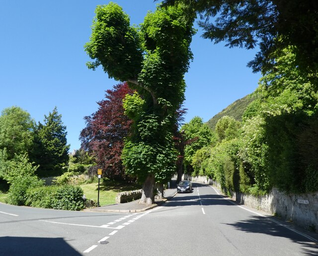
Luccombe, Isle of Wight
Luccombe is a hamlet a short distance south of Shanklin, on the south coast of the Isle of Wight, England. There is some indication of Bronze Age settlements...

Luccombe Chine
Luccombe Chine is a geological feature and visitor attraction south of the village of Luccombe on the Isle of Wight, England. A wooded coastal ravine,...
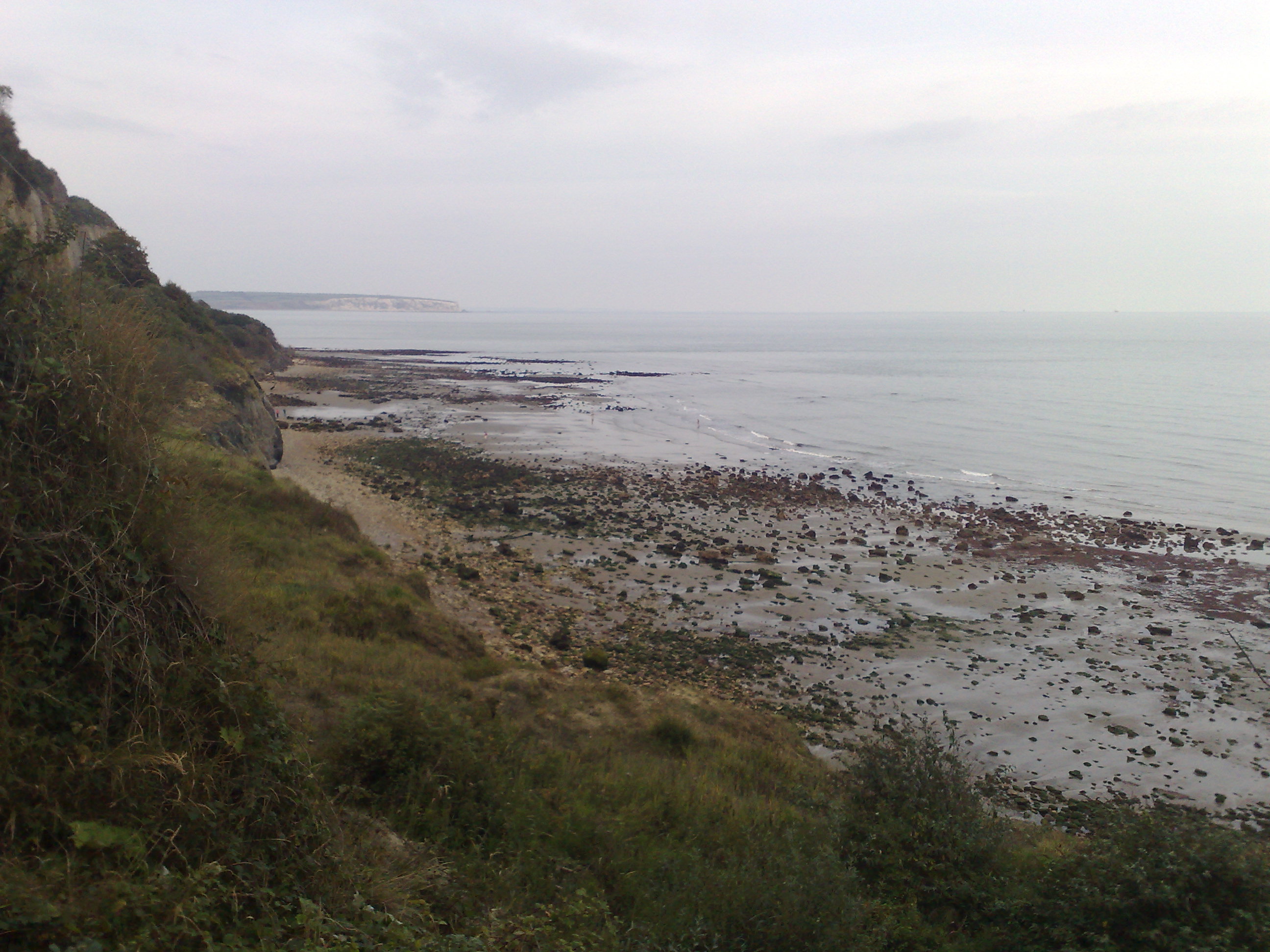
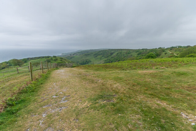
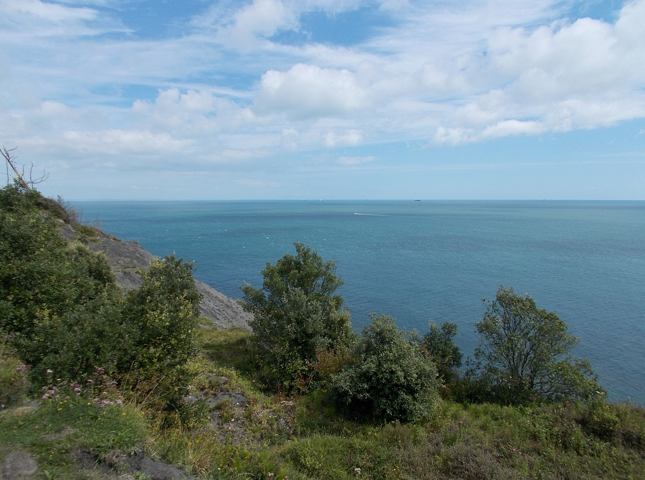
Luccombe Bay
Luccombe Bay is a bay on the south-east coast of the Isle of Wight, England. It lies to the east of Luccombe Village from which it takes its name. It faces...
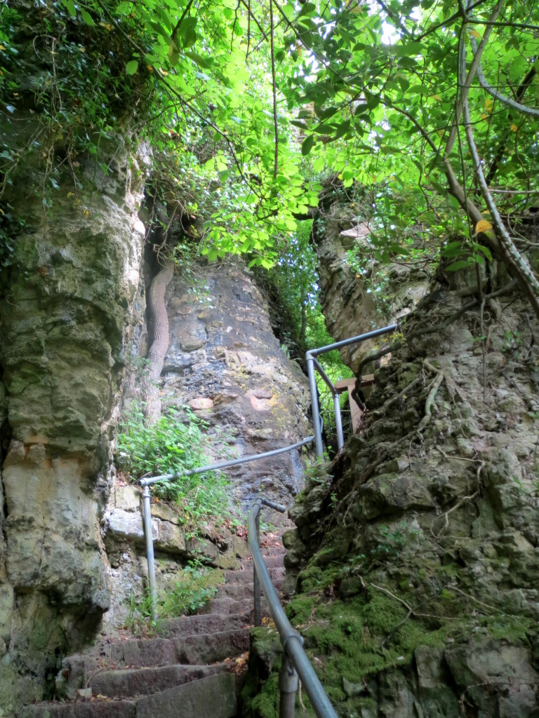
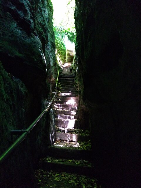
Chink (Isle of Wight)
The Chink is a scenic rock cleft between Bonchurch and Luccombe, Isle of Wight, with steps descending from St Boniface Down to the Bonchurch Landslips...
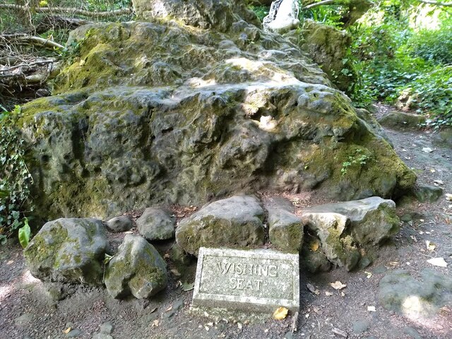
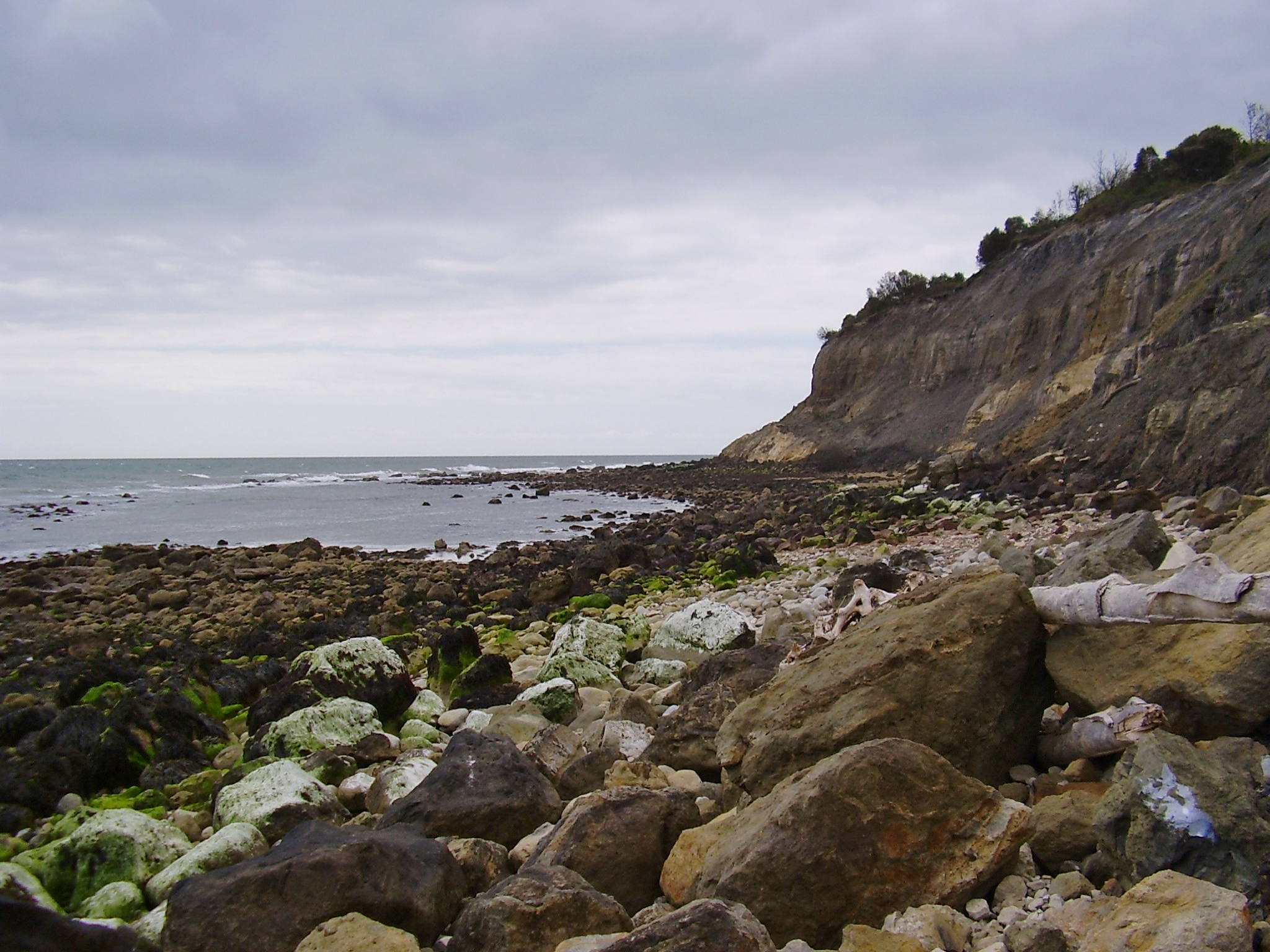
Bonchurch Landslips
Bonchurch Landslips is a 28.2-hectare (70-acre) site of special scientific interest which is located north-east of Ventnor, Isle of Wight. A wooded coastal...
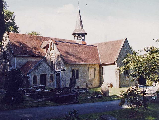
St Blasius Church, Shanklin
St. Blasius Church, Shanklin is a parish church in the Church of England located in Shanklin, Isle of Wight. The church is medieval but was largely rebuilt...
Steel Bay
Steel Bay is a bay on the south-east coast of the Isle of Wight, England. It lies to the east of the village of Bonchurch. It faces south-east towards...
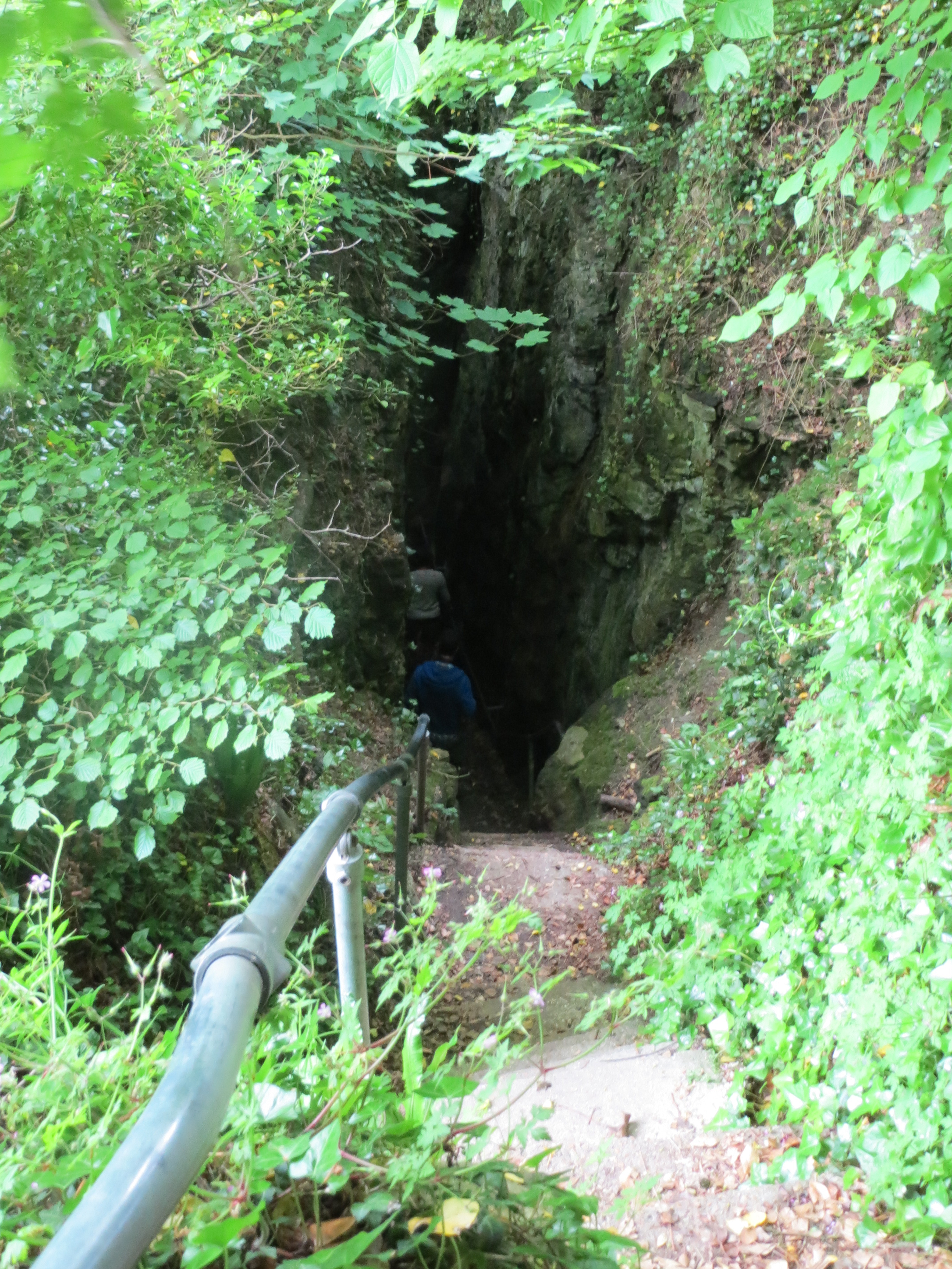
Devil's Chimney (Isle of Wight)
The Devil's Chimney was a scenic rock cleft with steps that descended into the Bonchurch Landslips between Bonchurch and Luccombe, Isle of Wight. A large...
Nearby Amenities
Located within 500m of 50.61388,-1.180611Have you been to Luccombe Village?
Leave your review of Luccombe Village below (or comments, questions and feedback).