Lucas Green

Settlement in Surrey Surrey Heath

England

Lucas Green

Mulberry House On Bagshot Road.
Mulberry House Credit: JThomas

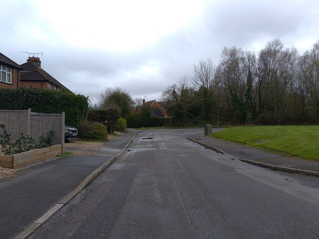
Lucas Green is a small suburban area located in the county of Surrey, England. Situated approximately 20 miles south of London, it falls under the administrative jurisdiction of the borough of Elmbridge. The area is known for its peaceful and picturesque surroundings, providing residents with a serene and idyllic place to call home.

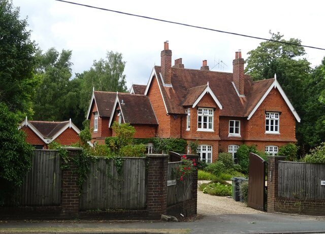
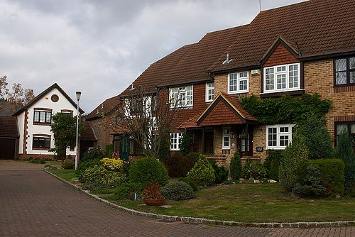
Lucas Green is primarily a residential neighborhood, characterized by its well-maintained houses and tree-lined streets. The area attracts a mix of families, professionals, and retirees who appreciate the tranquility and close-knit community atmosphere. The housing stock consists of a variety of architectural styles, ranging from modern townhouses to Victorian-era properties, offering a diverse selection for potential residents.

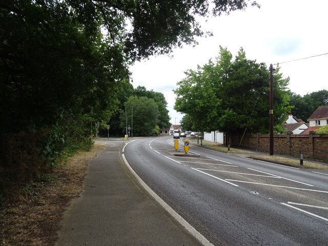
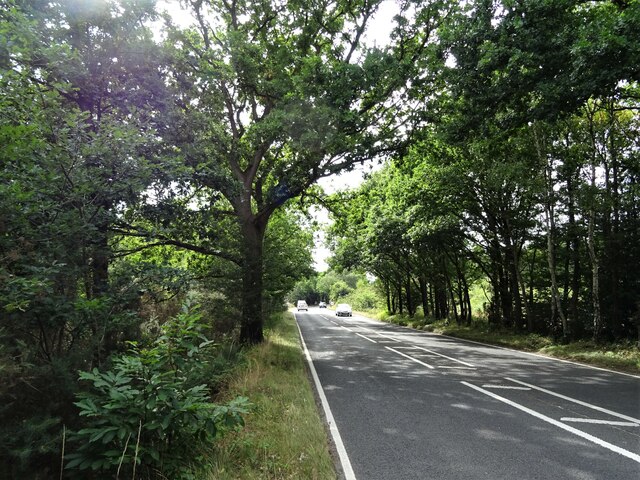
Despite its residential focus, Lucas Green benefits from its close proximity to nearby towns and amenities. The nearby town of Cobham offers a range of shops, restaurants, and leisure facilities, ensuring residents have access to everyday essentials and recreational activities. The area is also well-connected by public transportation, with regular train services operating from nearby stations, providing easy access to London and other major cities.

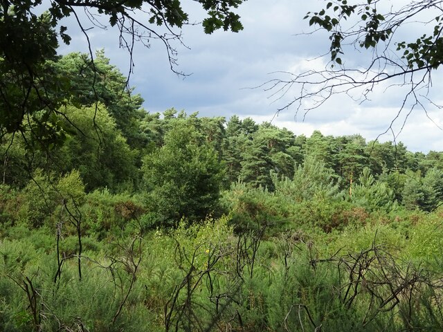
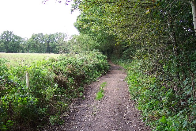
Nature enthusiasts will appreciate the abundance of green spaces surrounding Lucas Green. The area is encompassed by beautiful parks and open countryside, including Painshill Park and the Surrey Hills, offering plenty of opportunities for outdoor activities such as hiking, cycling, and picnicking.

Overall, Lucas Green offers a peaceful and picturesque living environment with convenient access to nearby amenities and natural beauty, making it an attractive place to reside for individuals seeking a suburban lifestyle within reach of urban conveniences.

If you have any feedback on the listing, please let us know in the comments section below.
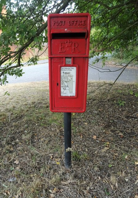
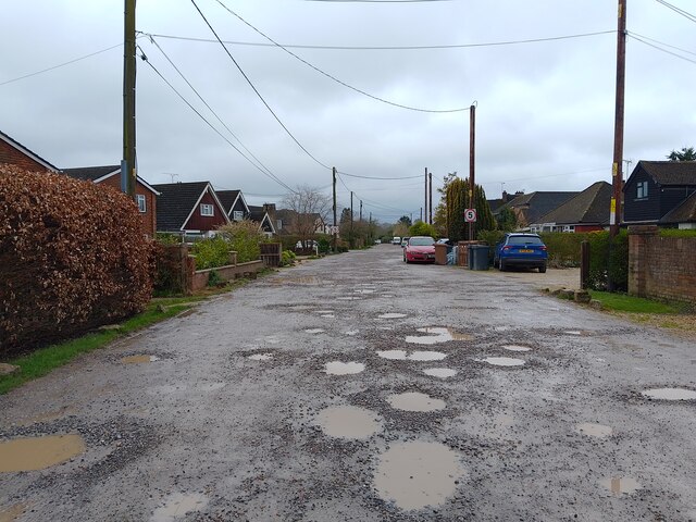
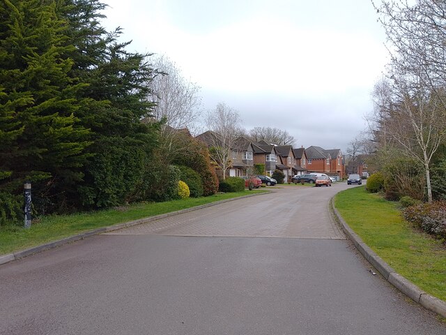
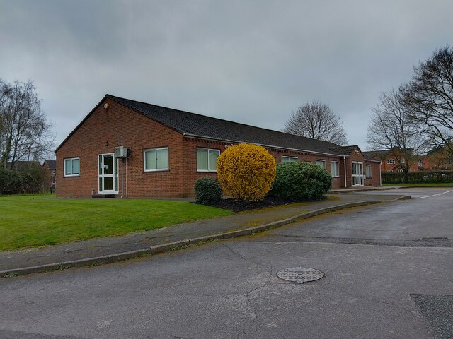
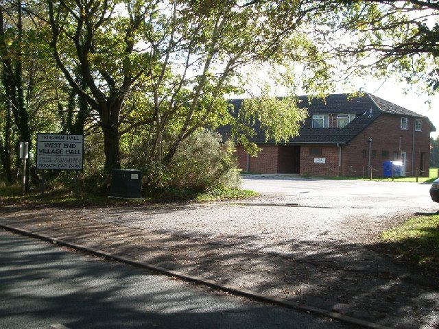
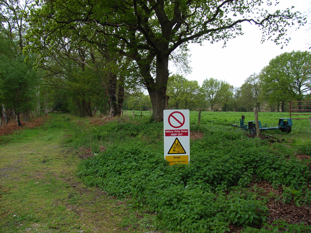
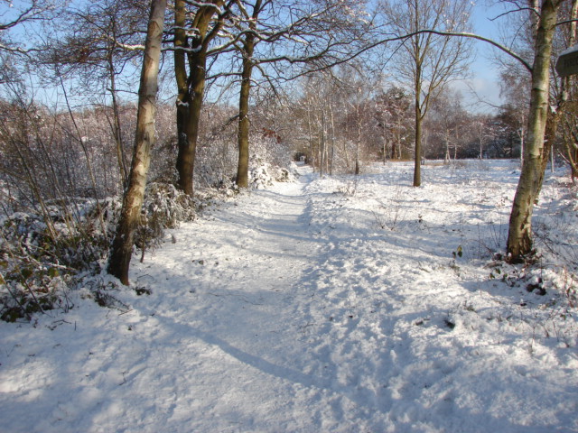
Lucas Green Images

Images are sourced within 2km of 51.332051/-0.647186 or Grid Reference SU9460. Thanks to Geograph Open Source API. All images are credited.

Mulberry House On Bagshot Road.
Mulberry House
On Bagshot Road.
Bagshot Road (A319)
Bagshot Road (A319)
Woodland, Turf Hill
Woodland, Turf Hill
Red Road (B311) Looking west.
Red Road (B311)
Looking west.
Elizabeth II postbox on Bagshot Road, West End Postbox No. GU24 6.
Elizabeth II postbox on Bagshot Road, West End
Postbox No. GU24 6.
Kings Road An unadopted road between Beldam Bridge Road and Guildford Road (the A322).
Kings Road
An unadopted road between Beldam Bridge Road and Guildford Road (the A322).
Rose Meadow A cul-de-sac off Kings Road.
Rose Meadow
A cul-de-sac off Kings Road.
Chobham & West End Medical Practice A doctor's surgery in West End on Lucas Green Road.
Chobham & West End Medical Practice
A doctor's surgery in West End on Lucas Green Road.
Lucas Green Road A cul-de-sac section of Lucas Green Road beside Chobham & West End Medical Practice.
Lucas Green Road
A cul-de-sac section of Lucas Green Road beside Chobham & West End Medical Practice.
Houses in West End This square contains several many semi-detached and terrace houses with pleasant gardens located in quiet cul-de-sacs.
Houses in West End
This square contains several many semi-detached and terrace houses with pleasant gardens located in quiet cul-de-sacs.
Statue of General Gordon The statue stands in the grounds of the Gordon School near Chobham, Surrey. It originally stood in Khartoum but I guess the locals weren't too impressed with having the likeness of an imperialist oppressor looking down on them.
Statue of General Gordon
The statue stands in the grounds of the Gordon School near Chobham, Surrey. It originally stood in Khartoum but I guess the locals weren't too impressed with having the likeness of an imperialist oppressor looking down on them.
Priest Lane Priest Lane is, nowadays, a bridle path running along the edge of the army ranges and connecting Lucas Farm Road with the delightfully-named Donkeytown. Looking north.
Priest Lane
Priest Lane is, nowadays, a bridle path running along the edge of the army ranges and connecting Lucas Farm Road with the delightfully-named Donkeytown. Looking north.
Beldam Bridge Road
Beldam Bridge Road
West End village hall looking south
West End village hall
looking south
Pirbright Ranges Taken through the perimeter gate near Hagthorne Cottage. Access is just ordinarily possible this far.
Pirbright Ranges
Taken through the perimeter gate near Hagthorne Cottage. Access is just ordinarily possible this far.
Brentmoor Heath, Westend Common Track running parallel to Red Road, the B311.
Brentmoor Heath, Westend Common
Track running parallel to Red Road, the B311.
Windle Brook The stream flows eastwards from Windlesham before joining forces with Clappers Brook to form Mill Bourne.
Windle Brook
The stream flows eastwards from Windlesham before joining forces with Clappers Brook to form Mill Bourne.
Holy Trinity Church, Church Road, West End Front of church from the other side of the narrow road - the choir were practising inside hence the cars.
Holy Trinity Church, Church Road, West End
Front of church from the other side of the narrow road - the choir were practising inside hence the cars.
Show me another place!

Lucas Green is located at Grid Ref: SU9460 (Lat: 51.332051, Lng: -0.647186)

Administrative County: Surrey

District: Surrey Heath

Police Authority: Surrey

What 3 Words

///cafe.leaves.visual. Near Knaphill, Surrey

Related Wikis

Bisley, Surrey

Bisley is a village and civil parish in the Borough of Surrey Heath in Surrey, England, approximately 25 miles (40 km) southwest of central London. It...

The Flashes

The Flashes is a 115.1-hectare (284-acre) Local Nature Reserve west of Godalming in Surrey. It is owned by the National Trust and managed by Waverley...

Bisley and West End Commons

Bisley and West End Commons is a 37.2-hectare (92-acre) Local Nature Reserve west of Woking in Surrey. It is part of the 46-hectare (110-acre) Bisley...

West End, Surrey

West End is a village and civil parish in Surrey Heath, Surrey, England, approximately 25 miles (40 km) southwest of central London. It is midway between...

Nearby Amenities

Located within 500m of 51.332051,-0.647186
Barrier: bollard
Lat/Long: 51.3298576/-0.642211
Bench
Lat/Long: 51.329634/-0.6417494
Crossing
Lat/Long: 51.3317302/-0.6482096
The data included in this document is from www.openstreetmap.org. The data is made available under ODbL.

Have you been to Lucas Green?

Leave your review of Lucas Green below (or comments, questions and feedback).