West End
Settlement in Surrey Surrey Heath
England
West End
West End is a suburban community located in the city of Surrey, British Columbia, Canada. Situated in the northern part of the city, West End is bounded by 104 Avenue to the north, King George Boulevard to the east, 88 Avenue to the south, and 132 Street to the west.
The neighborhood is primarily residential, with a mix of single-family detached homes, townhouses, and some low-rise apartment buildings. The area is known for its quiet and family-friendly atmosphere, offering residents a comfortable suburban lifestyle.
West End is conveniently located near several amenities and services. Within the community, there are several parks and green spaces, providing opportunities for outdoor activities such as walking, jogging, and picnicking. Nearby, residents can access Central City Shopping Centre, which offers a wide range of retail stores, restaurants, and entertainment options.
The community is served by several schools, including Betty Huff Elementary School and L.A. Matheson Secondary School, ensuring educational opportunities for families with children. Transportation in the area is facilitated by several bus routes, connecting West End to other parts of Surrey and the Greater Vancouver region.
West End benefits from its proximity to major transportation routes. The nearby King George Boulevard provides easy access to Highway 1, connecting residents to downtown Vancouver and other areas of the Lower Mainland. Additionally, the Scott Road SkyTrain station is just a short drive away, offering convenient public transportation options.
Overall, West End in Surrey is a desirable neighborhood that offers a peaceful suburban lifestyle, with a range of amenities and services easily accessible to its residents.
If you have any feedback on the listing, please let us know in the comments section below.
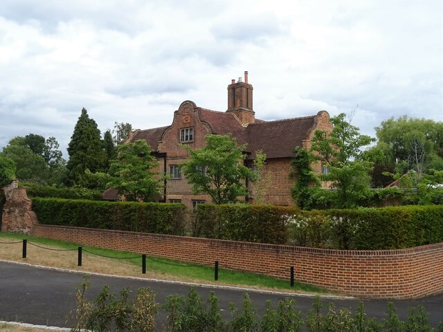
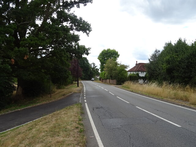
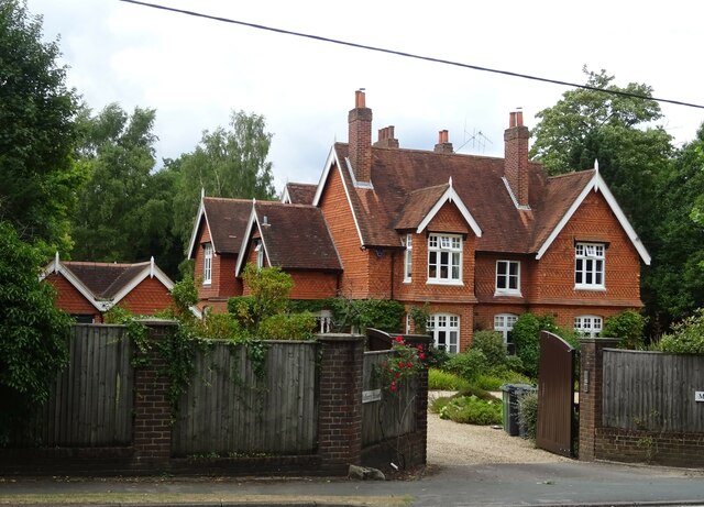
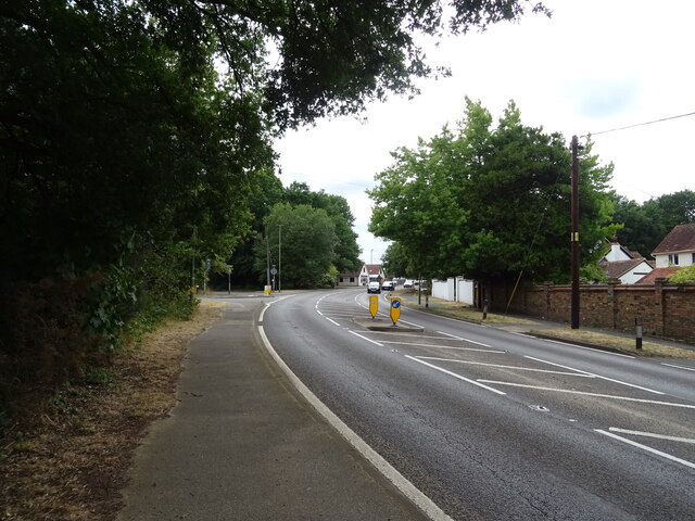
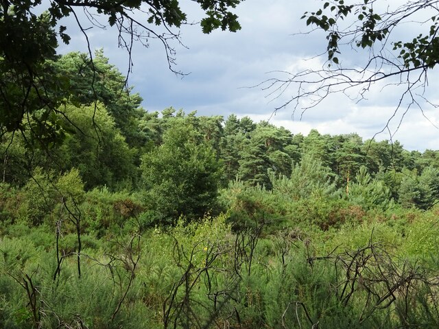
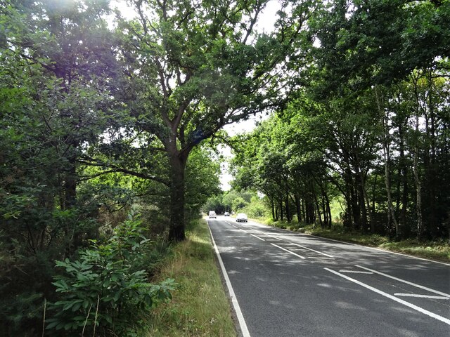
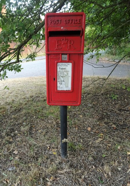
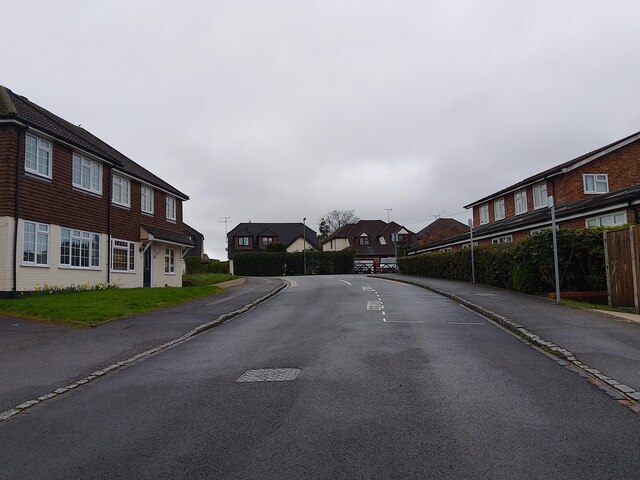
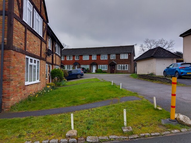
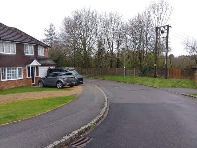
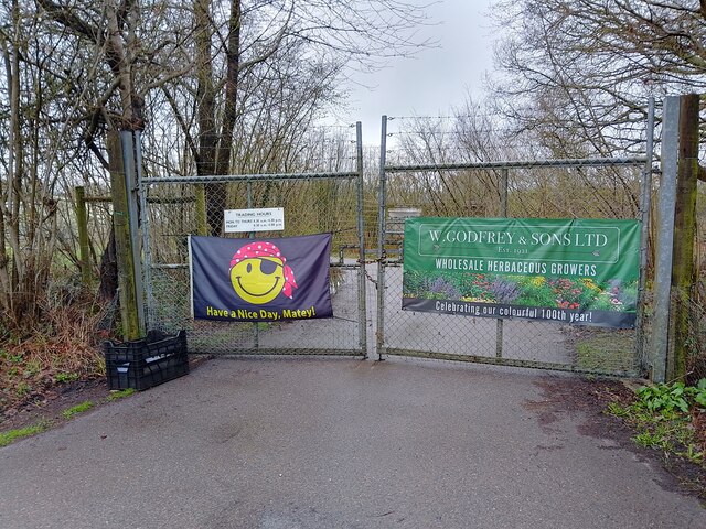
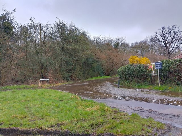
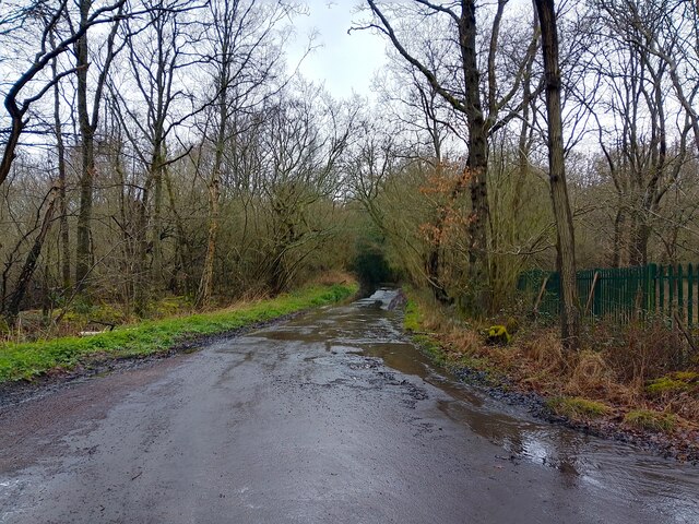
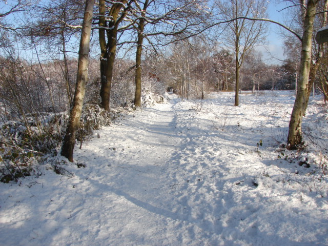
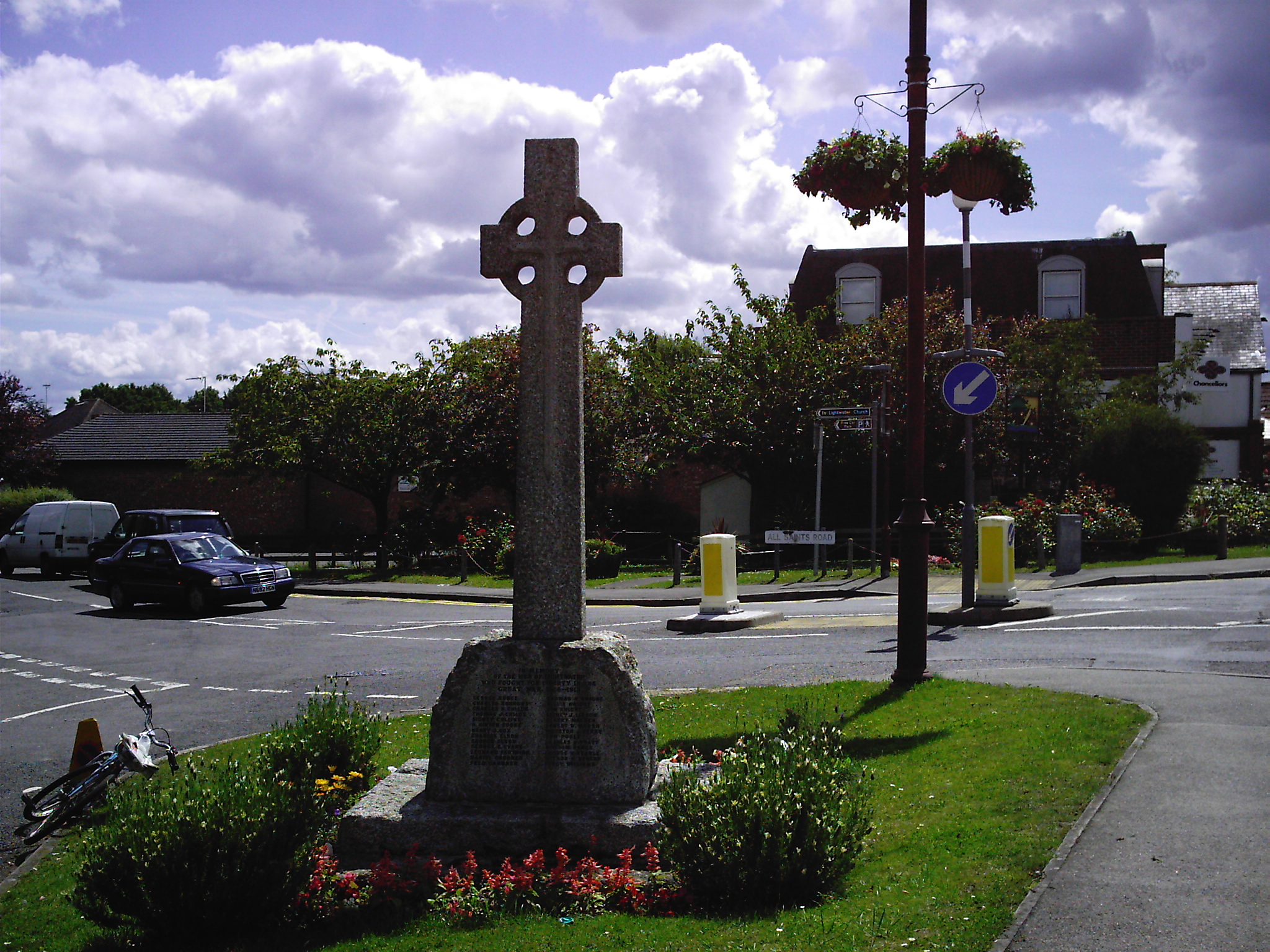
West End Images
Images are sourced within 2km of 51.34001/-0.64398955 or Grid Reference SU9460. Thanks to Geograph Open Source API. All images are credited.

West End is located at Grid Ref: SU9460 (Lat: 51.34001, Lng: -0.64398955)
Administrative County: Surrey
District: Surrey Heath
Police Authority: Surrey
What 3 Words
///adding.aura.afford. Near Lightwater, Surrey
Nearby Locations
Related Wikis

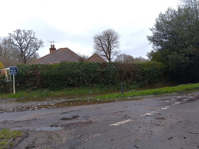
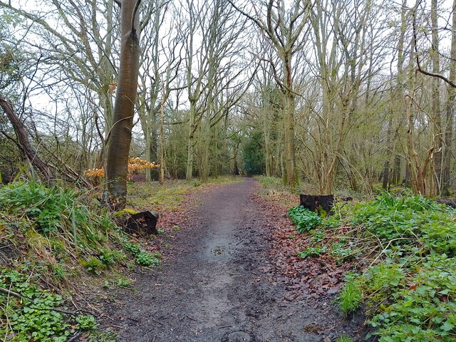
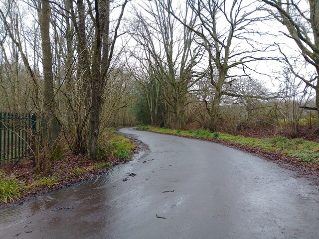
West End, Surrey
West End is a village and civil parish in Surrey Heath, Surrey, England, approximately 25 miles (40 km) southwest of central London. It is midway between...

Gordon's School
Gordon's School is a secondary school with academy status in West End near Woking, Surrey, England. It was founded as the Gordon Boys' Home in 1885. It...

Brentmoor Heath
Brentmoor Heath is a 28.6-hectare (71-acre) Local Nature Reserve east of Camberley in Surrey. It is part of Brentmoor Heath and Folly Bog nature reserve...

Bisley, Surrey
Bisley is a village and civil parish in the Borough of Surrey Heath in Surrey, England, approximately 25 miles (40 km) southwest of central London. It...

The Flashes
The Flashes is a 115.1-hectare (284-acre) Local Nature Reserve west of Godalming in Surrey. It is owned by the National Trust and managed by Waverley...
Bisley and West End Commons
Bisley and West End Commons is a 37.2-hectare (92-acre) Local Nature Reserve west of Woking in Surrey. It is part of the 46-hectare (110-acre) Bisley...
HM Prison Coldingley
HM Prison Coldingley is a Category C men's prison, located in the village of Bisley, in Surrey, England. The prison is operated by His Majesty's Prison...
Lightwater
Lightwater is a village in the Surrey Heath district of Surrey, England, about 27 miles (43 km) southwest of central London. Immediately surrounding towns...
Nearby Amenities
Located within 500m of 51.34001,-0.64398955Have you been to West End?
Leave your review of West End below (or comments, questions and feedback).