The Paddock

Wood, Forest in Somerset Somerset West and Taunton

England

The Paddock

Barn at Horner Farm
Barn at Horner Farm Credit: John H Darch

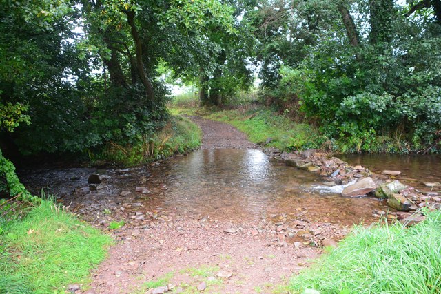
The Paddock, Somerset is a picturesque woodland located in the heart of Somerset, England. Covering an area of approximately 100 acres, it is known for its lush greenery, diverse wildlife, and tranquil atmosphere. The woodland is predominantly composed of a mix of deciduous and evergreen trees, providing a rich and varied habitat for plants and animals.

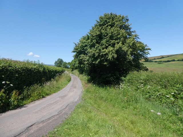
As visitors enter The Paddock, they are greeted by a well-maintained footpath that winds its way through the forest. The path is lined with a variety of wildflowers, offering a burst of color and fragrance to the surroundings. The woodland floor is carpeted with a thick layer of moss and fallen leaves, creating a soft and inviting atmosphere for nature enthusiasts and explorers.

The Paddock is home to a wide range of wildlife, including deer, foxes, rabbits, and a plethora of bird species. Nature lovers can often spot these animals amidst the trees, going about their daily activities. Birdwatchers particularly enjoy The Paddock, as it provides a prime location for observing rare and migratory birds.

The woodland also boasts several picnic spots, where visitors can relax and enjoy the tranquility of nature. These areas are equipped with benches and tables, making it a perfect destination for families, couples, or individuals seeking solace in the great outdoors.

The Paddock, Somerset is a popular destination for hiking and nature walks, with various trails and routes catering to different levels of fitness and interests. Whether it's a leisurely stroll or a more challenging hike, visitors can explore the woodland at their own pace, taking in the beauty and serenity that The Paddock has to offer.

If you have any feedback on the listing, please let us know in the comments section below.
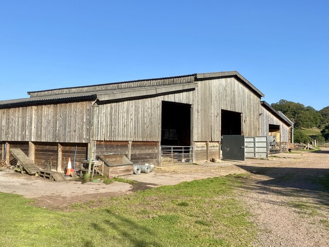
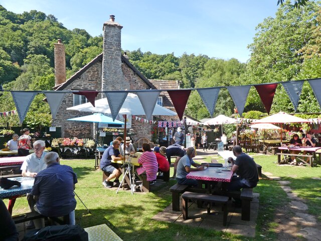
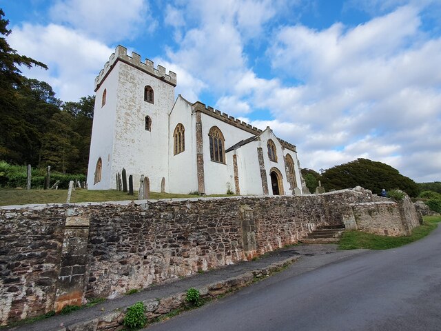
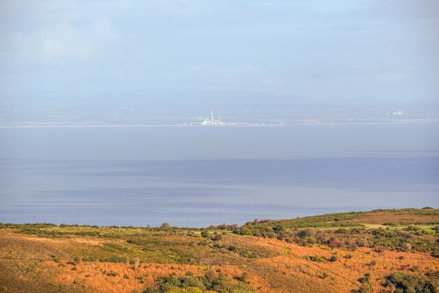
The Paddock Images

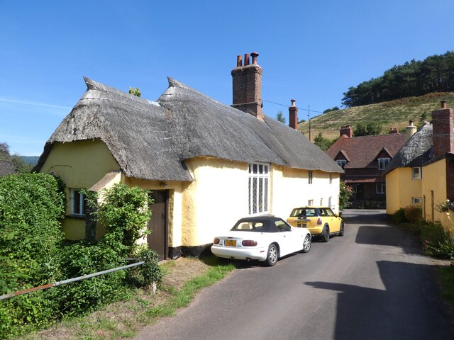
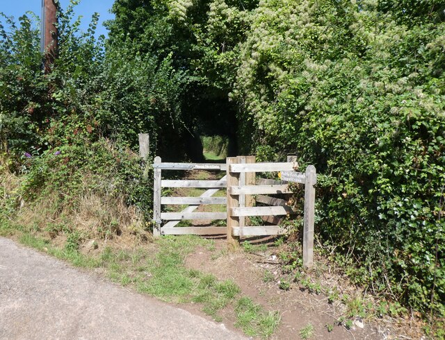
Images are sourced within 2km of 51.200907/-3.5583402 or Grid Reference SS9145. Thanks to Geograph Open Source API. All images are credited.

Barn at Horner Farm
Barn at Horner Farm
Tea gardens, Horner
Tea gardens, Horner
All Saints' Church, Selworthy, Somerset All Saints' Church at Selworthy, Somerset. The Church also has an Ordnance Survey bench mark.
<a href="https://www.geograph.org.uk/photo/6999454">SS9146 : Ordnance Survey Bench Mark</a>
All Saints' Church, Selworthy, Somerset
All Saints' Church at Selworthy, Somerset. The Church also has an Ordnance Survey bench mark. SS9146 : Ordnance Survey Bench Mark
Ordnance Survey Bench Mark A very warn mark located at All Saints' Church, Selworthy. These marks were used by Ordnance Survey  for mapping purposes.
<a href="https://www.geograph.org.uk/photo/6999451">SS9146 : All Saints' Church, Selworthy, Somerset</a>
Ordnance Survey Bench Mark
A very warn mark located at All Saints' Church, Selworthy. These marks were used by Ordnance Survey for mapping purposes. SS9146 : All Saints' Church, Selworthy, Somerset
Church Gate Cottage, Luccombe
Path to the cemetery, Luccombe
Interior, Church of the Blessed Virgin Mary, Luccombe
Cemetery, Luccombe
Cemetery, Luccombe
Allerford's packhorse bridge The bridge now only carries those on foot, other traffic takes the ford alongside.
Allerford's packhorse bridge
The bridge now only carries those on foot, other traffic takes the ford alongside.
Allerford Post Office c.1970 Still the village Post Office to this day. Allerford, along with Bossington and Selworthy, is contained within the National Trust’s Holnicote Estate, which takes in over 12,000 acres of Exmoor coast and countryside.
Allerford Post Office c.1970
Still the village Post Office to this day. Allerford, along with Bossington and Selworthy, is contained within the National Trust’s Holnicote Estate, which takes in over 12,000 acres of Exmoor coast and countryside.
Ordnance Survey Cut Mark This damaged OS cut mark can be found on the wall at Chapel Cross. It marks a point 113.839m above mean sea level.
Ordnance Survey Cut Mark
This damaged OS cut mark can be found on the wall at Chapel Cross. It marks a point 113.839m above mean sea level.
Ordnance Survey Cut Mark This OS cut mark can be found on the wall of the rectory. It marks a point 84.139m above mean sea level.
Ordnance Survey Cut Mark
This OS cut mark can be found on the wall of the rectory. It marks a point 84.139m above mean sea level.
Ordnance Survey 1GL Bolt This OS Bolt can be found on the SW angle of St Mary's Church. It marks a point 90.823m above mean sea level.
Ordnance Survey 1GL Bolt
This OS Bolt can be found on the SW angle of St Mary's Church. It marks a point 90.823m above mean sea level.
Ordnance Survey Rivet This OS rivet can be found on the small dam. It marks a point 246.639m above mean sea level.
Ordnance Survey Rivet
This OS rivet can be found on the small dam. It marks a point 246.639m above mean sea level.
Back road to Selworthy
Porlock : Bossington Hill Looking across to Bossington Hill and beyond to the Bristol Channel.
Porlock : Bossington Hill
Looking across to Bossington Hill and beyond to the Bristol Channel.
West Luccumbe Ford This ford on Horner Water is found at West Luccumbe.
West Luccumbe Ford
This ford on Horner Water is found at West Luccumbe.
Thatched cottage, West Luccombe
Show me another place!

The Paddock is located at Grid Ref: SS9145 (Lat: 51.200907, Lng: -3.5583402)

Administrative County: Somerset

District: Somerset West and Taunton

Police Authority: Avon and Somerset

What 3 Words

///routs.chips.towel. Near Porlock, Somerset
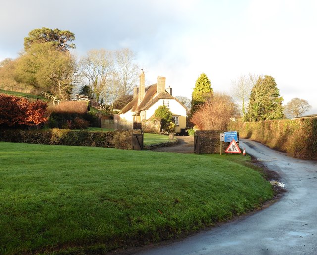
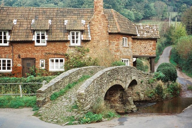
Related Wikis

Holnicote Estate

Holnicote (pronounced "Hunnicutt") in the parish of Selworthy, West Somerset, England, is a historic estate consisting of 12,420 acres (5,026 hectares...

Selworthy

Selworthy is a small village and civil parish 5 kilometres (3 mi) from Minehead in Somerset, England. It is located in the National Trust's Holnicote Estate...

Luccombe, Somerset

Luccombe or Luckham is a village and civil parish in the Exmoor National Park in the English county of Somerset. It at the foot of the moor's highest hill...

Dovecot at Blackford Farm

The Dovecot At Blackford Farm in Selworthy on Exmoor within the English county of Somerset was probably built in the 11th century. It is a Grade II* listed...

West Somerset Rural Life Museum and Victorian School

The West Somerset Rural Life Museum is a small museum in Allerford, Somerset, England. The building was built in 1821 as the village school and was closed...

Bury Castle, Selworthy

Bury Castle is an Iron Age hillfort near Selworthy, Somerset, England. It has been designated as a scheduled monument. == History == Bury Castle was built...

Coleridge Way

The Coleridge Way is a 51-mile (82 km) long-distance trail in Somerset and Devon, England. It was opened in April 2005, and the route links several sites...

Allerford

Allerford is a village in the county of Somerset, England, located within Exmoor National Park, and is part of the parish of Selworthy in the district...

Nearby Amenities

Located within 500m of 51.200907,-3.5583402
Barrier: kissing_gate
Lat/Long: 51.2045774/-3.5621162
Barrier: kissing_gate
Lat/Long: 51.2045505/-3.561923
Bus Stop
Selworthy Turn
Bus: yes
Description: Served by route 10, operated by Atwest.
Naptan AtcoCode: 3600SOA10202
Naptan Bearing: NW
Naptan CommonName: Selworthy Turn
Naptan Indicator: NW-bound
Naptan NaptanCode: sotadgaw
Naptan Street: A39
Naptan Verified: no
Public Transport: platform
Lat/Long: 51.2047912/-3.5572475
Bus Stop
Selworthy Turn
Bus: yes
Description: Served by route 10, operated by Atwest.
Naptan AtcoCode: 3600SOA10203
Naptan Bearing: SE
Naptan CommonName: Selworthy Turn
Naptan Indicator: SE-bound
Naptan NaptanCode: sotadgap
Naptan Street: A39
Naptan Verified: no
Public Transport: platform
Lat/Long: 51.2053979/-3.5584572
Hiking: yes
Information: guidepost
Source: GPS survey
Tourism: information
Lat/Long: 51.2045811/-3.5619548
Hiking: yes
Information: route_marker
Source: GPS survey
Tourism: information
Lat/Long: 51.2042182/-3.5592672
Hiking: yes
Information: route_marker
Source: GPS survey
Tourism: information
Lat/Long: 51.2046408/-3.5591103
Man Made: monitoring_station
Lat/Long: 51.2034006/-3.5595851
Power: pole
Source: bing
Lat/Long: 51.2011914/-3.5645163
Power: pole
Source: bing
Lat/Long: 51.2007452/-3.5633871
Power: pole
Source: bing
Lat/Long: 51.2002259/-3.5620433
Power: pole
Source: bing
Transformer: distribution
Lat/Long: 51.2052823/-3.5567996
Power: pole
Source: bing
Lat/Long: 51.2045454/-3.5557173
Power: pole
Source: bing
Lat/Long: 51.2037989/-3.5546035
Power: pole
Source: bing
Lat/Long: 51.2033157/-3.5543105
Power: pole
Source: bing
Lat/Long: 51.2025351/-3.5542837
Power: pole
Source: bing
Lat/Long: 51.2009183/-3.5542287
Power: pole
Source: bing
Lat/Long: 51.2017376/-3.5542649
Power: pole
Source: bing
Lat/Long: 51.2000721/-3.5541871
Power: pole
Source: bing
Lat/Long: 51.1992654/-3.5525617
Power: pole
Source: bing
Lat/Long: 51.1991847/-3.5541415
Power: pole
Source: bing
Lat/Long: 51.1991074/-3.555657
Power: pole
Source: bing
Lat/Long: 51.19902/-3.5572824
Power: pole
Source: bing
Lat/Long: 51.1989477/-3.5588166
Power: pole
Source: bing
Lat/Long: 51.1993645/-3.5598801
Power: pole
Source: bing
Transformer: distribution
Lat/Long: 51.1997721/-3.560898
Power: pole
Source: bing
Lat/Long: 51.2008276/-3.5639195
Power: pole
Source: bing
Lat/Long: 51.2001872/-3.5622861
Poles: bipole
Power: pole
Source: bing
Lat/Long: 51.199536/-3.5606325
Power: pole
Source: bing
Lat/Long: 51.199546/-3.5596669
Power: pole
Source: bing
Lat/Long: 51.1997662/-3.5561518
Power: pole
Source: bing
Lat/Long: 51.1995612/-3.5577008
Power: pole
Source: bing
Lat/Long: 51.1999898/-3.5545144
Power: pole
Source: bing
Lat/Long: 51.2002301/-3.5527441
Power: pole
Source: bing
Lat/Long: 51.2010276/-3.5516122
Power: pole
Source: bing
Lat/Long: 51.2001343/-3.5520896
The data included in this document is from www.openstreetmap.org. The data is made available under ODbL.

Have you been to The Paddock?

Leave your review of The Paddock below (or comments, questions and feedback).