Flitters Plantation
Wood, Forest in Somerset Somerset West and Taunton
England
Flitters Plantation

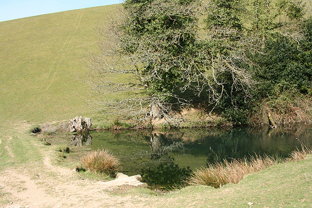
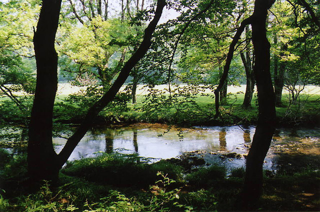
Flitters Plantation is a charming woodland retreat nestled in the heart of Somerset, England. Located in the picturesque countryside, this plantation offers a serene and peaceful environment for visitors to relax and rejuvenate.
Covering an area of approximately 100 acres, Flitters Plantation is predominantly made up of lush woodlands and dense forests. The plantation boasts a diverse range of trees, including oak, beech, and birch, creating a stunning natural landscape. Visitors can explore the numerous walking trails that wind through the plantation, immersing themselves in the beauty of the surrounding flora and fauna.
The plantation is also home to a variety of wildlife, making it a haven for nature enthusiasts. Birdwatchers can spot a variety of species, including woodpeckers, owls, and various songbirds. Squirrels, rabbits, and deer are also commonly seen throughout the plantation, providing visitors with the opportunity to observe these creatures in their natural habitat.
Flitters Plantation offers a range of activities for visitors to enjoy. Nature walks and hikes are popular, allowing visitors to explore the plantation's scenic beauty. The plantation also has designated picnic areas, providing the perfect spot for a leisurely lunch surrounded by nature.
For those seeking a longer stay, Flitters Plantation offers accommodation in the form of charming cottages and log cabins. These accommodations provide a cozy and comfortable retreat, allowing guests to fully immerse themselves in the tranquility of the plantation.
Overall, Flitters Plantation is a haven for nature lovers and those seeking a peaceful escape from the hustle and bustle of everyday life. With its stunning woodlands, diverse wildlife, and range of activities, it is a truly idyllic destination in Somerset.
If you have any feedback on the listing, please let us know in the comments section below.
Flitters Plantation Images
Images are sourced within 2km of 51.030669/-3.5567293 or Grid Reference SS9026. Thanks to Geograph Open Source API. All images are credited.


Flitters Plantation is located at Grid Ref: SS9026 (Lat: 51.030669, Lng: -3.5567293)
Administrative County: Somerset
District: Somerset West and Taunton
Police Authority: Avon and Somerset
What 3 Words
///condiment.agreement.drooling. Near Dulverton, Somerset
Related Wikis

Combe, Dulverton
Combe is a historic estate in Somerset, England, situated between the town of Dulverton and the village of Brushford. == Descent == === Taunton Priory... ===

Barle Bridge
Barle Bridge is a five span stone arch bridge over the River Barle in Dulverton within the English county of Somerset, which is medieval in origin. It...

Dulverton Town Hall
Dulverton Town Hall is a municipal building in Fore Street in Dulverton, Somerset, England. The building, which is the meeting place of Dulverton Town...

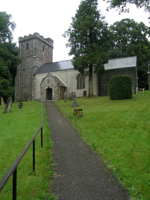
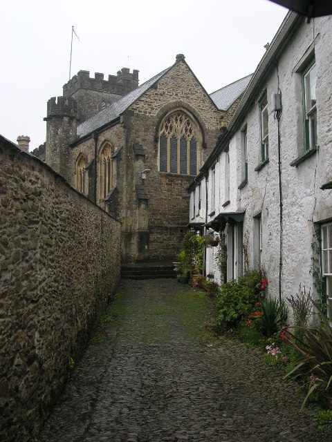
Church of All Saints, Dulverton
The Anglican Church of All Saints in Dulverton, Somerset, England was built in the 15th century and largely rebuilt in the 1850s. It is a Grade II* listed...

Oldberry Castle
Oldberry Castle (sometimes called Oldbury Castle) is an Iron Age hill fort north west of Dulverton, Somerset, England. It lies approximately 0.5 miles...

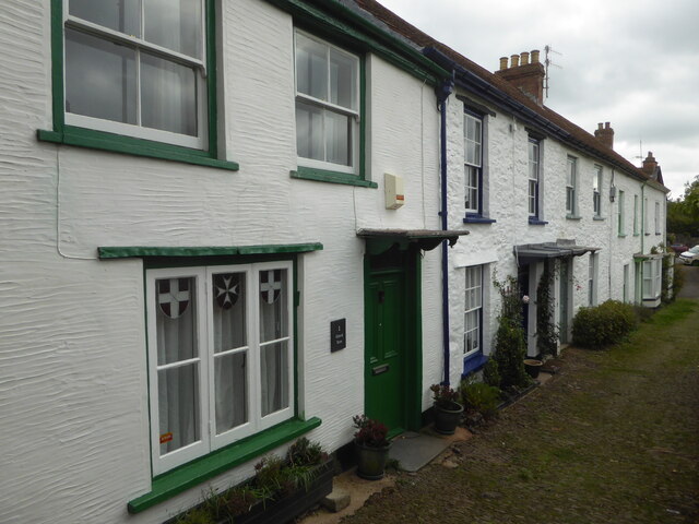
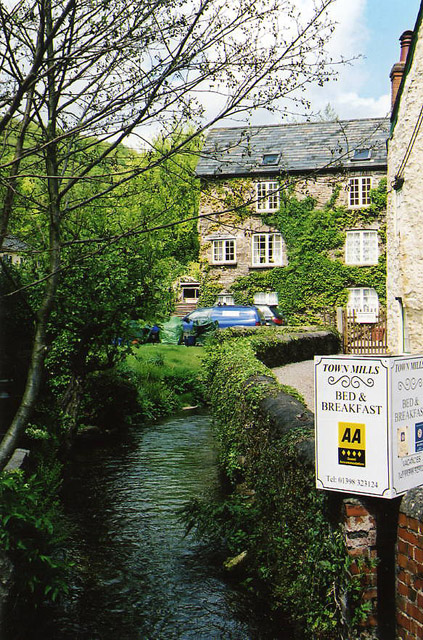
Dulverton
Dulverton is a town and civil parish in west Somerset, England, near the border with Devon. The town had a population of 1,408 at the 2011 Census. The...

Dulverton Rural District
Dulverton was a rural district in Somerset, England, from 1894 to 1974. It was created in 1894 under the Local Government Act 1894. In 1974 it was abolished...
Northmoor, Dulverton
Northmoor is an historic estate in the parish of Dulverton in Somerset, England. The Victorian mansion house known as Northmoor House is set amongst steep...
Nearby Amenities
Located within 500m of 51.030669,-3.5567293Have you been to Flitters Plantation?
Leave your review of Flitters Plantation below (or comments, questions and feedback).