Knapfield Copse

Wood, Forest in Somerset Somerset West and Taunton

England

Knapfield Copse

Bridge over the River Barle at Dulverton
Bridge over the River Barle at Dulverton Credit: Ben Meyrick

Knapfield Copse is a charming woodland located in Somerset, England. Situated near the village of Knapfield, the copse covers an area of approximately 50 acres, offering a serene and picturesque natural environment for visitors to explore.

The copse is predominantly composed of native broadleaf trees, such as oak, beech, and ash, which create a dense canopy overhead, providing shade and shelter for various flora and fauna. The forest floor is covered in a thick carpet of moss, ferns, and wildflowers, adding to the copse's beauty and biodiversity.

Tranquil walking trails wind their way through the copse, allowing visitors to immerse themselves in its peaceful ambiance. The paths are well-maintained and clearly marked, making it easy for people of all ages and abilities to enjoy the copse's natural splendor. Birdwatchers will find plenty to see, as Knapfield Copse is home to a variety of bird species, including woodpeckers, owls, and warblers.

The copse also boasts a small stream that meanders through its heart, providing a refreshing water feature and attracting various wildlife, such as otters and ducks. Picnic areas are scattered throughout the copse, making it an ideal spot for families and friends to gather and enjoy a leisurely meal surrounded by nature.

Knapfield Copse is a true gem in Somerset, offering a tranquil retreat for nature lovers and outdoor enthusiasts. Its rich biodiversity, well-maintained trails, and scenic beauty make it a must-visit destination for anyone seeking a peaceful escape from the hustle and bustle of everyday life.

If you have any feedback on the listing, please let us know in the comments section below.

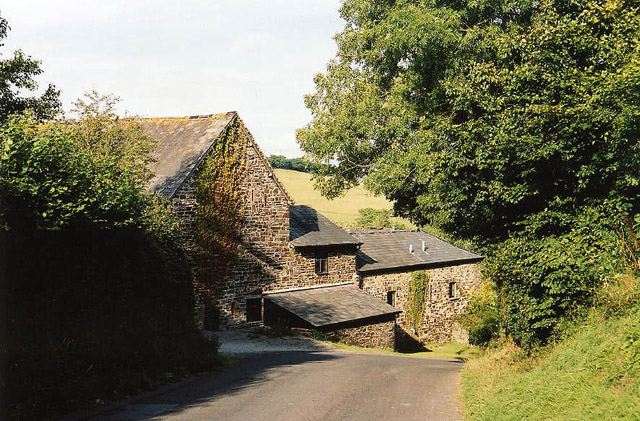
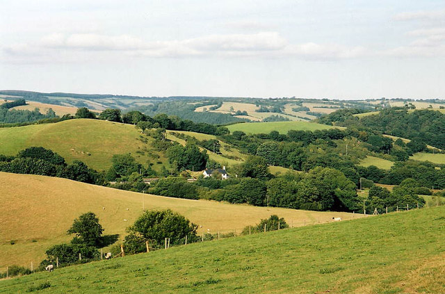
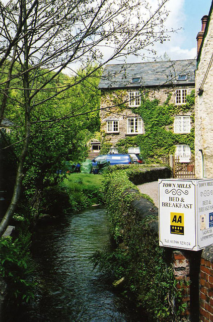
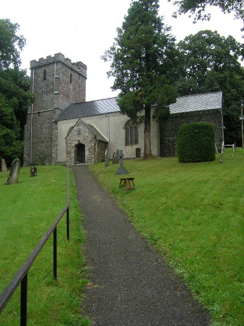
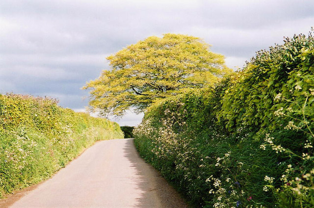
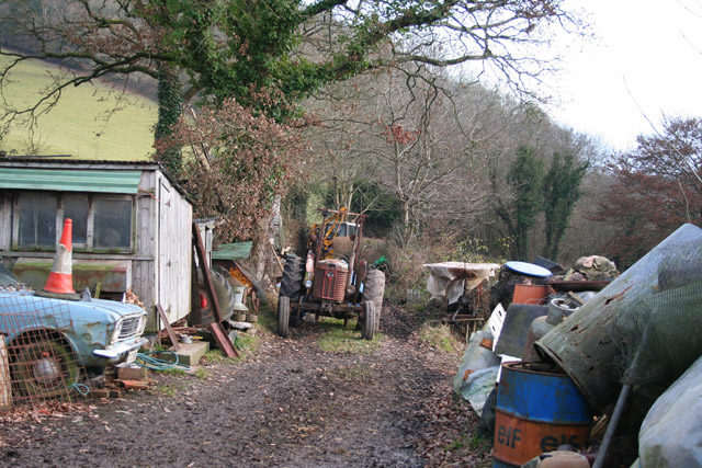
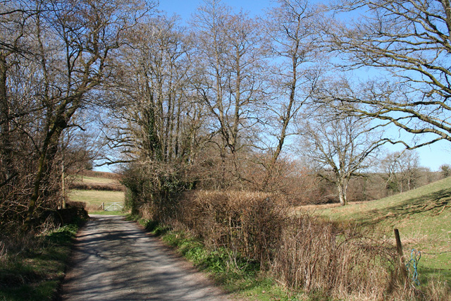
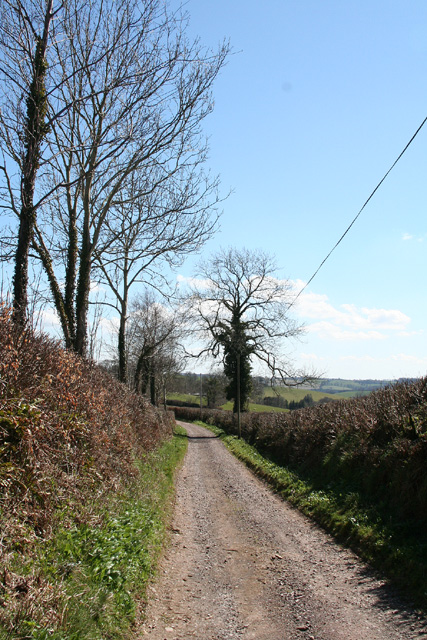
Knapfield Copse Images

Images are sourced within 2km of 51.023383/-3.5628875 or Grid Reference SS9026. Thanks to Geograph Open Source API. All images are credited.

Bridge over the River Barle at Dulverton
Barle Bridge, Dulverton A Grade II Listed bridge over the River Barle. Mediaeval in origin, repaired 1624, subsequently widened 1819 by J Stone, repaired 1866 and 1952-3. Five arches in random rubble. Also a Scheduled Ancient Monument.
Barle Bridge, Dulverton
A Grade II Listed bridge over the River Barle. Mediaeval in origin, repaired 1624, subsequently widened 1819 by J Stone, repaired 1866 and 1952-3. Five arches in random rubble. Also a Scheduled Ancient Monument.
Brushford: Knowle Farm
Brushford: Venn Looking north from the lane between West Knowle and Hawkwell Cross
Brushford: Venn
Looking north from the lane between West Knowle and Hawkwell Cross
Brushford: Bere A farm in remote country between East Anstey and Dulverton, seen from its entrance gate. The track leading to the farm and on to Broomball Cross is also a public bridleway. Looking north west
Brushford: Bere
A farm in remote country between East Anstey and Dulverton, seen from its entrance gate. The track leading to the farm and on to Broomball Cross is also a public bridleway. Looking north west
Brushford: between Nightcott and Upcott Looking south from the Brushford – Nightcott lane
Brushford: between Nightcott and Upcott
Looking south from the Brushford – Nightcott lane
Brushford: by Trackford Moor On the access road to Lower Sowerhill. Looking south west
Brushford: by Trackford Moor
On the access road to Lower Sowerhill. Looking south west
Brushford: Rocks Farm Seen from the Oldways End-Exebridge Road. The outbuilding by the road once contained a waterwheel which powered farm machinery. The remains of a dry millpond exist to the right of this shot
Brushford: Rocks Farm
Seen from the Oldways End-Exebridge Road. The outbuilding by the road once contained a waterwheel which powered farm machinery. The remains of a dry millpond exist to the right of this shot
Brushford: Higher Upcott and Upcott Farm Seen from the Oldways End-Exebridge Road. Higher Upcott is the building to the left
Brushford: Higher Upcott and Upcott Farm
Seen from the Oldways End-Exebridge Road. Higher Upcott is the building to the left
Brushford:  Croft and Croft Knap Seen from the Oldways End-Exebridge Road
Brushford: Croft and Croft Knap
Seen from the Oldways End-Exebridge Road
Dulverton: Town Mills Now offering bread and breakfast, Town Mills was once one of four mills all powered by a single leat from the river Barle. One of its waterwheels can be seen turning at Bickleigh Mill, near Tiverton
Dulverton: Town Mills
Now offering bread and breakfast, Town Mills was once one of four mills all powered by a single leat from the river Barle. One of its waterwheels can be seen turning at Bickleigh Mill, near Tiverton
BRUSHFORD, Somerset The church of St Nicholas
BRUSHFORD, Somerset
The church of St Nicholas
Dulverton Fire Station Dulverton Fire Station, St Cuthbert's Way, Dulverton, Somerset.
Dulverton Fire Station
Dulverton Fire Station, St Cuthbert's Way, Dulverton, Somerset.
Dulverton: lane near Old Bury With beech tree. Between Hinam Cross and Battleton
Dulverton: lane near Old Bury
With beech tree. Between Hinam Cross and Battleton
Brushford: yard by bridleway Near Hulverton Hill, looking south on a track from, Brushford to Brocks Bridge. Christmas Day 2005
Brushford: yard by bridleway
Near Hulverton Hill, looking south on a track from, Brushford to Brocks Bridge. Christmas Day 2005
Brushford: lane to Nightcott Looking west near a bridge over the Brockley River
Brushford: lane to Nightcott
Looking west near a bridge over the Brockley River
Dulverton: wood near Three Gates Cross Looking south
Dulverton: wood near Three Gates Cross
Looking south
Dulverton: Combe Lane Track above Battleton. Looking south east
Dulverton: Combe Lane
Track above Battleton. Looking south east
Show me another place!

Knapfield Copse is located at Grid Ref: SS9026 (Lat: 51.023383, Lng: -3.5628875)

Administrative County: Somerset

District: Somerset West and Taunton

Police Authority: Avon and Somerset

What 3 Words

///crumple.reapply.barbarian. Near Dulverton, Somerset

Related Wikis

Combe, Dulverton

Combe is a historic estate in Somerset, England, situated between the town of Dulverton and the village of Brushford. == Descent == === Taunton Priory... ===

Briggins Moor

Briggins Moor is a 15.3 hectare biological Site of Special Scientific Interest in Somerset, notified in 1994. The site is south of Dulverton and close...

Barle Bridge

Barle Bridge is a five span stone arch bridge over the River Barle in Dulverton within the English county of Somerset, which is medieval in origin. It...

Dulverton Town Hall

Dulverton Town Hall is a municipal building in Fore Street in Dulverton, Somerset, England. The building, which is the meeting place of Dulverton Town...

Have you been to Knapfield Copse?

Leave your review of Knapfield Copse below (or comments, questions and feedback).