Ashill Copse
Wood, Forest in Somerset Somerset West and Taunton
England
Ashill Copse

Ashill Copse is a picturesque woodland located in Somerset, England. Covering an area of approximately 10 hectares, this ancient woodland is known for its diverse range of flora and fauna. The copse is situated near the village of Ashill, providing a tranquil escape for nature enthusiasts and visitors.
The woodland is predominantly composed of broadleaf trees such as oak, ash, and beech, which create a dense canopy that allows limited sunlight to penetrate the forest floor. This environment provides the perfect habitat for a variety of woodland plants, including bluebells, primroses, and wild garlic, which carpet the forest during the spring months.
Ashill Copse is also home to a diverse range of wildlife. Visitors may catch a glimpse of deer, foxes, and badgers, as well as a myriad of bird species such as woodpeckers, owls, and warblers. The copse is particularly renowned for its population of butterflies and insects, with species such as the purple emperor and silver-washed fritillary commonly sighted.
The woodland offers several walking trails, allowing visitors to explore its natural beauty at their own pace. These paths wind through the ancient trees, providing opportunities for peaceful walks and birdwatching. There are also designated picnic areas, making it an ideal spot for families and nature lovers to enjoy a day out in the countryside.
Overall, Ashill Copse is a stunning woodland that offers a serene escape from the hustle and bustle of everyday life. Its diverse range of flora and fauna, coupled with its tranquil atmosphere, make it a must-visit destination for those seeking a connection with nature.
If you have any feedback on the listing, please let us know in the comments section below.
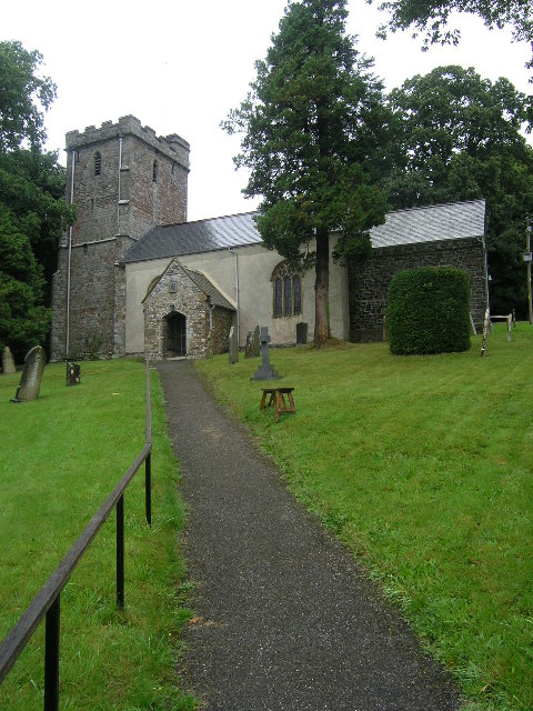
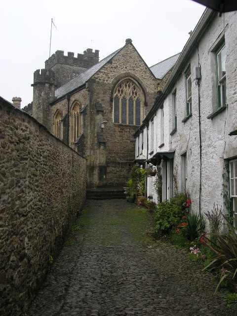
Ashill Copse Images
Images are sourced within 2km of 51.025746/-3.5617121 or Grid Reference SS9026. Thanks to Geograph Open Source API. All images are credited.


Ashill Copse is located at Grid Ref: SS9026 (Lat: 51.025746, Lng: -3.5617121)
Administrative County: Somerset
District: Somerset West and Taunton
Police Authority: Avon and Somerset
What 3 Words
///cropping.upstairs.rider. Near Dulverton, Somerset
Related Wikis

Combe, Dulverton
Combe is a historic estate in Somerset, England, situated between the town of Dulverton and the village of Brushford. == Descent == === Taunton Priory... ===

Barle Bridge
Barle Bridge is a five span stone arch bridge over the River Barle in Dulverton within the English county of Somerset, which is medieval in origin. It...

Dulverton Town Hall
Dulverton Town Hall is a municipal building in Fore Street in Dulverton, Somerset, England. The building, which is the meeting place of Dulverton Town...

Briggins Moor
Briggins Moor is a 15.3 hectare biological Site of Special Scientific Interest in Somerset, notified in 1994. The site is south of Dulverton and close...

Church of All Saints, Dulverton
The Anglican Church of All Saints in Dulverton, Somerset, England was built in the 15th century and largely rebuilt in the 1850s. It is a Grade II* listed...

Oldberry Castle
Oldberry Castle (sometimes called Oldbury Castle) is an Iron Age hill fort north west of Dulverton, Somerset, England. It lies approximately 0.5 miles...

Brushford, Somerset
Brushford is a village and civil parish 2 miles (3.2 km) south of Dulverton and 12 miles (19 km) north of Tiverton in Devon, in the Somerset West and Taunton...

Dulverton
Dulverton is a town and civil parish in west Somerset, England, near the border with Devon. The town had a population of 1,408 at the 2011 Census. The...
Have you been to Ashill Copse?
Leave your review of Ashill Copse below (or comments, questions and feedback).