Rubblecheap Plantation
Wood, Forest in Somerset Somerset West and Taunton
England
Rubblecheap Plantation

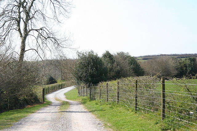
Rubblecheap Plantation, located in Somerset, is a sprawling woodland area known for its dense forest and abundant wildlife. Stretching over several acres, this plantation is a haven for nature enthusiasts and outdoor adventurers alike. The name "Rubblecheap" is derived from the Old English words "rubel" meaning "red" and "ceap" meaning "marketplace," possibly referencing the red hue of the soil in the area.
The plantation is primarily composed of various species of trees, including oak, birch, and beech, which create a picturesque landscape throughout the seasons. The dense forest provides a sheltered habitat for a wide range of animals, including deer, foxes, badgers, and a diverse bird population. The plantation is also home to several species of rare and protected plants, making it an important site for conservation efforts.
Visitors to Rubblecheap Plantation can explore the numerous walking trails that wind through the woodland, allowing them to immerse themselves in the tranquil beauty of nature. The plantation offers a peaceful retreat from the hustle and bustle of daily life, providing a serene environment for relaxation, picnicking, or simply enjoying the natural surroundings.
Furthermore, Rubblecheap Plantation has become a popular destination for nature education and research. Several schools and universities organize field trips and studies within the plantation grounds, offering students the opportunity to learn about ecology, biodiversity, and sustainable management practices.
In conclusion, Rubblecheap Plantation is an enchanting woodland area in Somerset that offers visitors a chance to experience the wonders of nature. From its diverse flora and fauna to its peaceful ambiance, this plantation is a treasure trove of natural beauty and a valuable asset for environmental conservation and education.
If you have any feedback on the listing, please let us know in the comments section below.
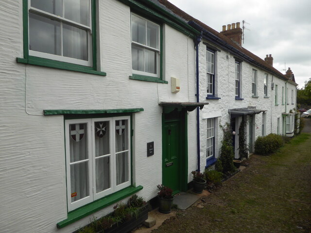
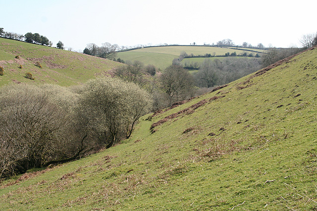
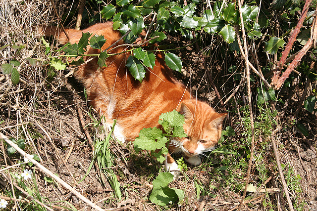
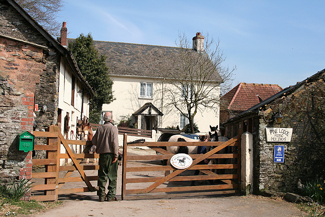
Rubblecheap Plantation Images
Images are sourced within 2km of 51.027269/-3.5654995 or Grid Reference SS9026. Thanks to Geograph Open Source API. All images are credited.


Rubblecheap Plantation is located at Grid Ref: SS9026 (Lat: 51.027269, Lng: -3.5654995)
Administrative County: Somerset
District: Somerset West and Taunton
Police Authority: Avon and Somerset
What 3 Words
///mixer.weeds.rotate. Near Dulverton, Somerset
Related Wikis

Combe, Dulverton
Combe is a historic estate in Somerset, England, situated between the town of Dulverton and the village of Brushford. == Descent == === Taunton Priory... ===

Barle Bridge
Barle Bridge is a five span stone arch bridge over the River Barle in Dulverton within the English county of Somerset, which is medieval in origin. It...

Dulverton Town Hall
Dulverton Town Hall is a municipal building in Fore Street in Dulverton, Somerset, England. The building, which is the meeting place of Dulverton Town...

Briggins Moor
Briggins Moor is a 15.3 hectare biological Site of Special Scientific Interest in Somerset, notified in 1994. The site is south of Dulverton and close...

Oldberry Castle
Oldberry Castle (sometimes called Oldbury Castle) is an Iron Age hill fort north west of Dulverton, Somerset, England. It lies approximately 0.5 miles...

Church of All Saints, Dulverton
The Anglican Church of All Saints in Dulverton, Somerset, England was built in the 15th century and largely rebuilt in the 1850s. It is a Grade II* listed...

Northmoor, Dulverton
Northmoor is an historic estate in the parish of Dulverton in Somerset, England. The Victorian mansion house known as Northmoor House is set amongst steep...

Dulverton
Dulverton is a town and civil parish in west Somerset, England, near the border with Devon. The town had a population of 1,408 at the 2011 Census. The...
Have you been to Rubblecheap Plantation?
Leave your review of Rubblecheap Plantation below (or comments, questions and feedback).