Cleeve Copse
Wood, Forest in Somerset Somerset West and Taunton
England
Cleeve Copse

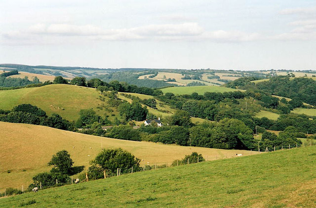
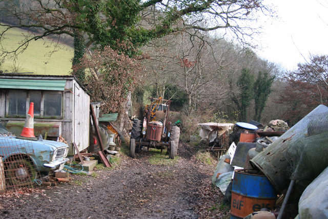
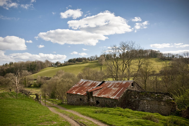
Cleeve Copse, located in Somerset, England, is a captivating and diverse woodland that covers an area of approximately 100 acres. Situated on the slopes of Cleeve Hill, this ancient woodland boasts a rich history and is a haven for nature enthusiasts and walkers alike.
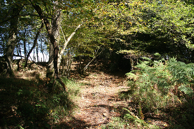
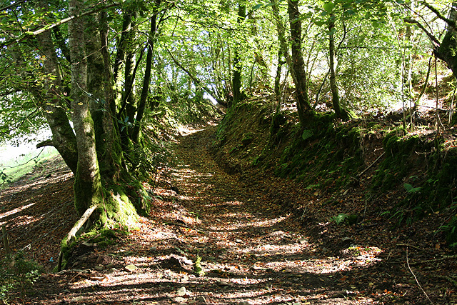
The copse is primarily composed of mature broadleaf trees, including oak, beech, ash, and hazel. These majestic trees form a dense canopy, providing shade and shelter for a wide variety of flora and fauna that call the copse their home. Bluebells, primroses, and wood anemones carpet the forest floor during the spring months, creating a stunning display of colors.
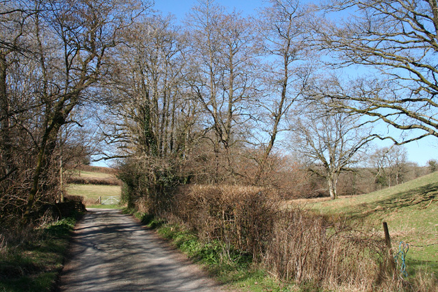
The woodland is crisscrossed by a network of footpaths and trails, allowing visitors to explore its beauty and tranquility. The main trail, known as the Cleeve Copse Walk, takes approximately two hours to complete and provides panoramic views of the surrounding countryside.
Cleeve Copse is also home to a diverse range of wildlife. Birdwatchers can spot species such as woodpeckers, owls, and various songbirds. Mammals including deer, foxes, and badgers are known to inhabit the area, and lucky visitors may even catch a glimpse of these elusive creatures.
The copse is managed by a local conservation group, who work tirelessly to protect and preserve its natural beauty. They conduct regular woodland management activities, such as tree thinning and coppicing, to promote biodiversity and maintain a healthy ecosystem.
In conclusion, Cleeve Copse in Somerset is a stunning woodland that offers a peaceful retreat for nature lovers. Its ancient trees, diverse wildlife, and well-maintained trails make it a must-visit destination for those seeking a connection with nature.
If you have any feedback on the listing, please let us know in the comments section below.
Cleeve Copse Images
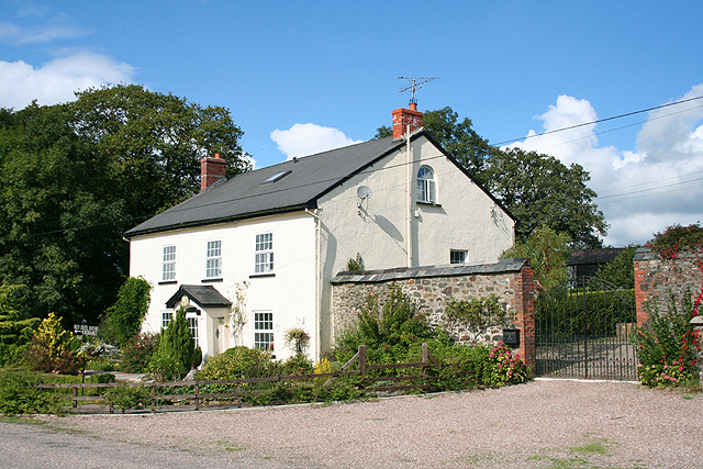
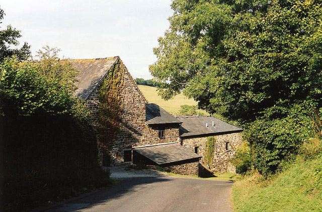
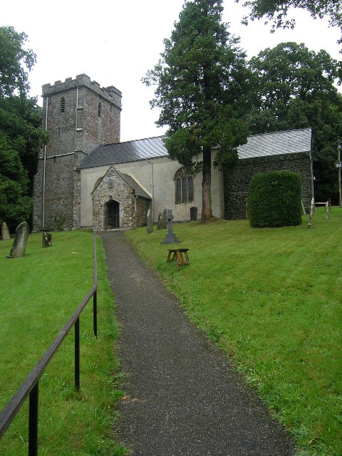
Images are sourced within 2km of 51.011943/-3.5649975 or Grid Reference SS9024. Thanks to Geograph Open Source API. All images are credited.


Cleeve Copse is located at Grid Ref: SS9024 (Lat: 51.011943, Lng: -3.5649975)
Administrative County: Somerset
District: Somerset West and Taunton
Police Authority: Avon and Somerset
What 3 Words
///relating.thread.bond. Near Dulverton, Somerset
Nearby Locations
Related Wikis

Briggins Moor
Briggins Moor is a 15.3 hectare biological Site of Special Scientific Interest in Somerset, notified in 1994. The site is south of Dulverton and close...

Combe, Dulverton
Combe is a historic estate in Somerset, England, situated between the town of Dulverton and the village of Brushford. == Descent == === Taunton Priory... ===

Brushford, Somerset
Brushford is a village and civil parish 2 miles (3.2 km) south of Dulverton and 12 miles (19 km) north of Tiverton in Devon, in the Somerset West and Taunton...

River Barle
The River Barle runs from the Chains on northern Exmoor, in Somerset, England to join the River Exe at Exebridge, Devon. The river and the Barle Valley...

Exebridge
Exebridge is a village that lies on the border between Devon and Somerset, England. It lies at the confluence of the Barle and Exe rivers. Exebridge is...

Barle Bridge
Barle Bridge is a five span stone arch bridge over the River Barle in Dulverton within the English county of Somerset, which is medieval in origin. It...

Dulverton Town Hall
Dulverton Town Hall is a municipal building in Fore Street in Dulverton, Somerset, England. The building, which is the meeting place of Dulverton Town...

Oakfordbridge
Oakfordbridge is a village in Devon, England. == References == The geographic coordinates are from the Ordnance Survey. == External links == Media related...
Nearby Amenities
Located within 500m of 51.011943,-3.5649975Have you been to Cleeve Copse?
Leave your review of Cleeve Copse below (or comments, questions and feedback).