Six Acre Copse

Wood, Forest in Somerset Somerset West and Taunton

England

Six Acre Copse

Former Dulverton Station Seen from a bridge over the dismantled railway line. The stationmaster's house and goods shed were built by the Devon and somerset Railway and opened in 1873. The Exe Valley Railway also had its terminus here. The station is actually about 2 miles south of Dulverton and in Brushford.
Former Dulverton Station Credit: Chris Allen

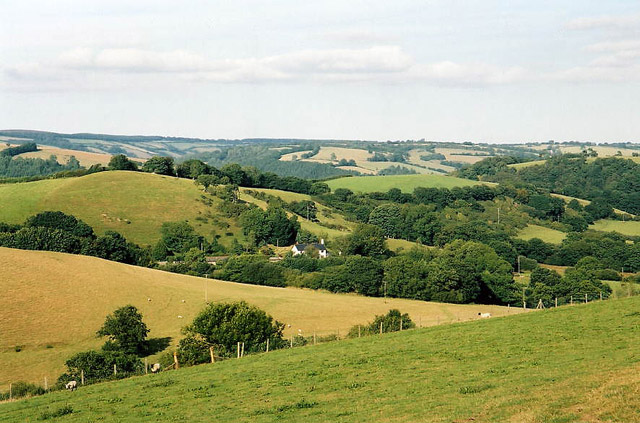
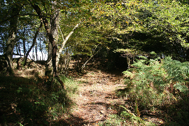
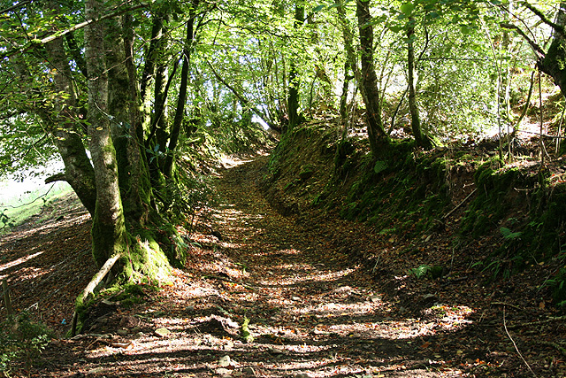
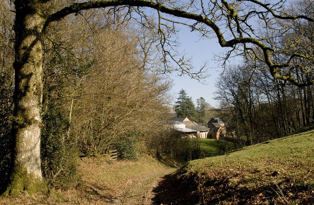
Six Acre Copse is a small woodland located in Somerset, England. With an area spanning approximately six acres, it is nestled amidst the picturesque countryside of the region. The copse is known for its dense canopy of trees, which provides a haven for various flora and fauna.

The woodland is primarily composed of deciduous trees, such as oak, beech, and ash, creating a vibrant and ever-changing landscape throughout the year. In spring, the copse is adorned with a carpet of bluebells, creating a breathtaking sight for visitors. During the summer months, the canopy provides a cool and shaded environment, making it a popular spot for picnickers and nature enthusiasts.

The copse is home to a diverse range of wildlife. It serves as a habitat for various bird species, including woodpeckers, tawny owls, and blue tits, which can be observed and heard throughout the year. The woodland floor also teems with life, with small mammals such as squirrels, rabbits, and voles scurrying among the undergrowth. On lucky occasions, visitors may even catch a glimpse of a deer or badger.

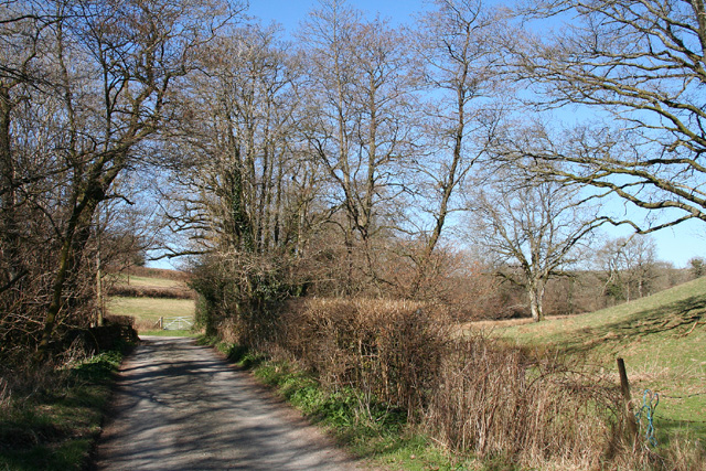
A network of footpaths meanders through the copse, allowing visitors to explore and appreciate its natural beauty. These paths provide a tranquil and peaceful setting for leisurely walks and are well-maintained throughout the year. Six Acre Copse offers an escape from the hustle and bustle of everyday life, providing a serene environment where visitors can reconnect with nature.

If you have any feedback on the listing, please let us know in the comments section below.

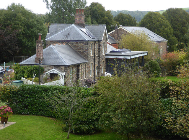
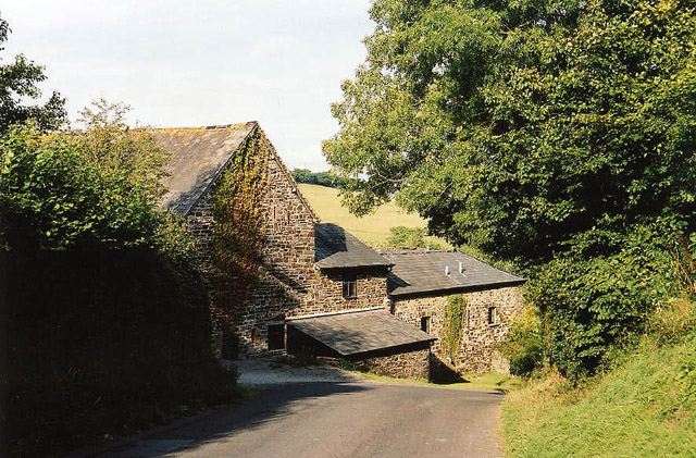
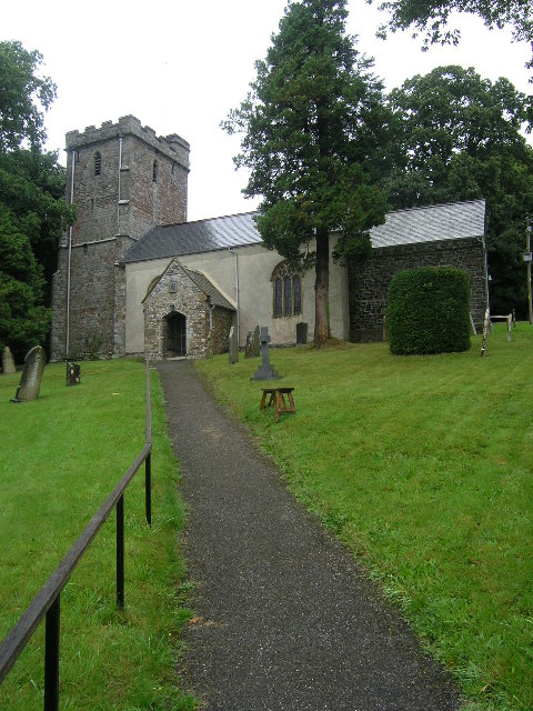
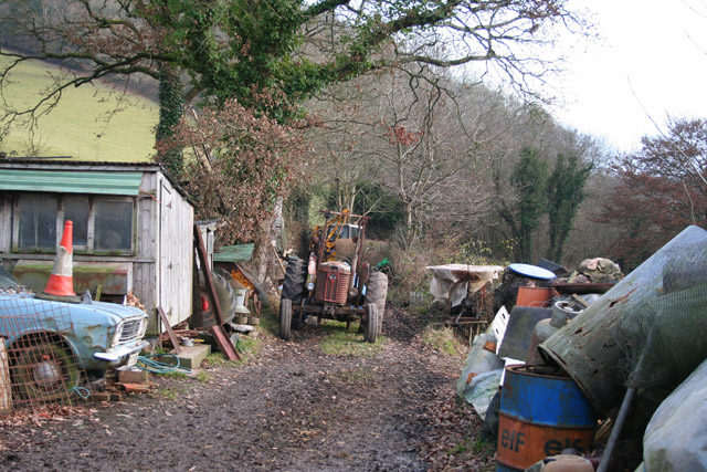
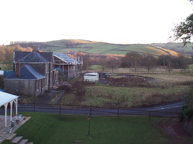
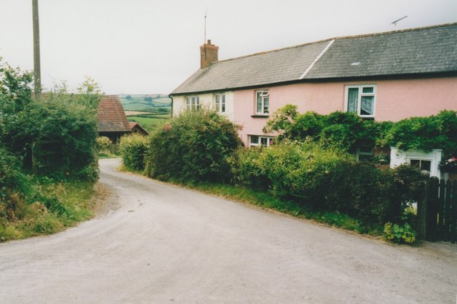
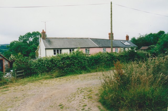
Six Acre Copse Images

Images are sourced within 2km of 51.013431/-3.5586609 or Grid Reference SS9024. Thanks to Geograph Open Source API. All images are credited.

Former Dulverton Station Seen from a bridge over the dismantled railway line. The stationmaster's house and goods shed were built by the Devon and somerset Railway and opened in 1873. The Exe Valley Railway also had its terminus here. The station is actually about 2 miles south of Dulverton and in Brushford.
Former Dulverton Station
Seen from a bridge over the dismantled railway line. The stationmaster's house and goods shed were built by the Devon and somerset Railway and opened in 1873. The Exe Valley Railway also had its terminus here. The station is actually about 2 miles south of Dulverton and in Brushford.
Brushford: between Nightcott and Upcott Looking south from the Brushford – Nightcott lane
Brushford: between Nightcott and Upcott
Looking south from the Brushford – Nightcott lane
Brushford: by Trackford Moor On the access road to Lower Sowerhill. Looking south west
Brushford: by Trackford Moor
On the access road to Lower Sowerhill. Looking south west
Brushford: Rocks Farm Seen from the Oldways End-Exebridge Road. The outbuilding by the road once contained a waterwheel which powered farm machinery. The remains of a dry millpond exist to the right of this shot
Brushford: Rocks Farm
Seen from the Oldways End-Exebridge Road. The outbuilding by the road once contained a waterwheel which powered farm machinery. The remains of a dry millpond exist to the right of this shot
Brushford: Higher Upcott and Upcott Farm Seen from the Oldways End-Exebridge Road. Higher Upcott is the building to the left
Brushford: Higher Upcott and Upcott Farm
Seen from the Oldways End-Exebridge Road. Higher Upcott is the building to the left
Brushford:  Croft and Croft Knap Seen from the Oldways End-Exebridge Road
Brushford: Croft and Croft Knap
Seen from the Oldways End-Exebridge Road
BRUSHFORD, Somerset The church of St Nicholas
BRUSHFORD, Somerset
The church of St Nicholas
Brushford: yard by bridleway Near Hulverton Hill, looking south on a track from, Brushford to Brocks Bridge. Christmas Day 2005
Brushford: yard by bridleway
Near Hulverton Hill, looking south on a track from, Brushford to Brocks Bridge. Christmas Day 2005
Railway Station, Brushford Railway Station at Brushford is Dulverton Station, on the Taunton to Barnstaple line. The station and goods shed are visible from the road bridge. The line was closed in 1966.
Railway Station, Brushford
Railway Station at Brushford is Dulverton Station, on the Taunton to Barnstaple line. The station and goods shed are visible from the road bridge. The line was closed in 1966.
Brushford: lane to Nightcott Looking west near a bridge over the Brockley River
Brushford: lane to Nightcott
Looking west near a bridge over the Brockley River
Oakford: Lower Highleigh Wood Public bridleway leading to Great Highleigh and the Exe valley. Looking north east near the edge of the wood
Oakford: Lower Highleigh Wood
Public bridleway leading to Great Highleigh and the Exe valley. Looking north east near the edge of the wood
Oakford: old track On the edge of East Tapps Wood, looking south east. The track, a public bridleway, links Hele Manor and Great Highleigh with East Loosemoor and Hutswell
Oakford: old track
On the edge of East Tapps Wood, looking south east. The track, a public bridleway, links Hele Manor and Great Highleigh with East Loosemoor and Hutswell
Farm cottages, Combe These utilitarian buildings are all that can be seen of the isolated community from the public path, apart from some sheds.  The path once went closer to the farmhouse but has now been diverted to the left of the beech hedge.
Farm cottages, Combe
These utilitarian buildings are all that can be seen of the isolated community from the public path, apart from some sheds. The path once went closer to the farmhouse but has now been diverted to the left of the beech hedge.
Combe Farm. After a muddy start at the end of Three Gates Lane the path improves and develops into this track.
Combe Farm.
After a muddy start at the end of Three Gates Lane the path improves and develops into this track.
Old Building What appears to be a derelict outbuilding  you pass as you walk on the signed public footpath around Hulverton Hill near Brushford
Old Building
What appears to be a derelict outbuilding you pass as you walk on the signed public footpath around Hulverton Hill near Brushford
West Knowle Cottages in West Knowle.
West Knowle
Cottages in West Knowle.
West Knowle Cottages in West Knowle.
West Knowle
Cottages in West Knowle.
Trackford Moor Cross
Show me another place!

Six Acre Copse is located at Grid Ref: SS9024 (Lat: 51.013431, Lng: -3.5586609)

Administrative County: Somerset

District: Somerset West and Taunton

Police Authority: Avon and Somerset

What 3 Words

///quitter.cashiers.opera. Near Dulverton, Somerset

Related Wikis

Briggins Moor

Briggins Moor is a 15.3 hectare biological Site of Special Scientific Interest in Somerset, notified in 1994. The site is south of Dulverton and close...

Brushford, Somerset

Brushford is a village and civil parish 2 miles (3.2 km) south of Dulverton and 12 miles (19 km) north of Tiverton in Devon, in the Somerset West and Taunton...

Combe, Dulverton

Combe is a historic estate in Somerset, England, situated between the town of Dulverton and the village of Brushford. == Descent == === Taunton Priory... ===

River Barle

The River Barle runs from the Chains on northern Exmoor, in Somerset, England to join the River Exe at Exebridge, Devon. The river and the Barle Valley...

Exebridge

Exebridge is a village that lies on the border between Devon and Somerset, England. It lies at the confluence of the Barle and Exe rivers. Exebridge is...

Barle Bridge

Barle Bridge is a five span stone arch bridge over the River Barle in Dulverton within the English county of Somerset, which is medieval in origin. It...

Dulverton Town Hall

Dulverton Town Hall is a municipal building in Fore Street in Dulverton, Somerset, England. The building, which is the meeting place of Dulverton Town...

Church of All Saints, Dulverton

The Anglican Church of All Saints in Dulverton, Somerset, England was built in the 15th century and largely rebuilt in the 1850s. It is a Grade II* listed...

Nearby Amenities

Located within 500m of 51.013431,-3.5586609
Power: pole
Lat/Long: 51.0142359/-3.5652925
Power: pole
Lat/Long: 51.0141934/-3.5635722
Power: pole
Lat/Long: 51.0141563/-3.5614747
Power: pole
Lat/Long: 51.0141294/-3.5595327
Power: pole
Lat/Long: 51.0140797/-3.557466
Power: pole
Lat/Long: 51.0143279/-3.5516833
Power: pole
Lat/Long: 51.0140269/-3.5521374
Power: pole
Transformer: distribution
Lat/Long: 51.0134348/-3.5523678
Power: pole
Lat/Long: 51.0140533/-3.5561022
Power: pole
Source: bing
Lat/Long: 51.0139813/-3.5521452
Power: pole
Source: bing
Lat/Long: 51.0140143/-3.5539343
Power: pole
Source: bing
Lat/Long: 51.0122081/-3.5613091
Power: pole
Source: bing
Lat/Long: 51.0113238/-3.5615939
Power: pole
Source: bing
Lat/Long: 51.0109112/-3.5621219
Power: pole
Source: bing
Lat/Long: 51.0104928/-3.5626469
Power: pole
Source: bing
Lat/Long: 51.0103301/-3.5629332
Power: pole
Source: bing
Lat/Long: 51.0132337/-3.5645573
Power: pole
Source: bing
Transformer: distribution
Lat/Long: 51.0140221/-3.5618002
Power: pole
Source: bing
Lat/Long: 51.0135282/-3.5613738
Power: pole
Source: bing
Lat/Long: 51.0131911/-3.5636521
Power: pole
Source: bing
Lat/Long: 51.0131282/-3.5622266
Power: pole
Source: bing
Lat/Long: 51.013072/-3.5610012
Power: pole
Source: bing
Lat/Long: 51.0129228/-3.5595573
Power: pole
Source: bing
Lat/Long: 51.0127475/-3.5579363
Power: pole
Source: bing
Lat/Long: 51.0125906/-3.5565015
Power: pole
Source: bing
Lat/Long: 51.0124521/-3.555173
Power: pole
Source: bing
Lat/Long: 51.0123069/-3.5538337
Power: pole
Source: bing
Lat/Long: 51.0128145/-3.5516173
Power: pole
Source: bing
Lat/Long: 51.0125555/-3.552759
The data included in this document is from www.openstreetmap.org. The data is made available under ODbL.

Have you been to Six Acre Copse?

Leave your review of Six Acre Copse below (or comments, questions and feedback).