Bottom Close Plantation
Wood, Forest in Somerset Somerset West and Taunton
England
Bottom Close Plantation

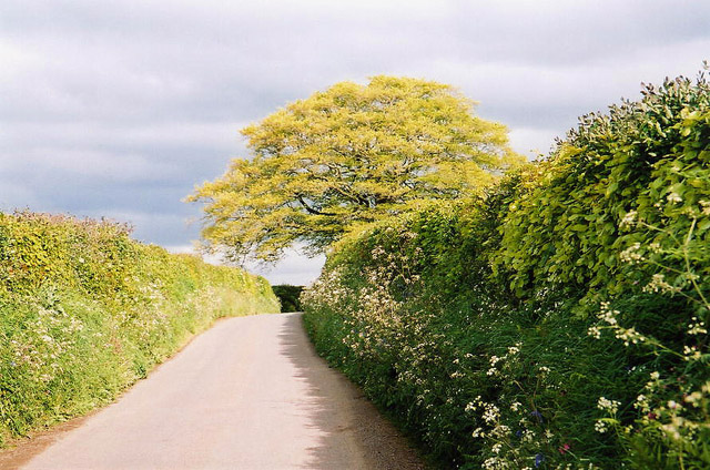
Bottom Close Plantation is a picturesque woodland located in Somerset, England. Situated near the village of Wood, the plantation spans across a vast area and is renowned for its natural beauty and diverse range of flora and fauna. It forms part of the larger Forest of Somerset, adding to its significance and charm.
The plantation features a dense canopy of trees, predominantly consisting of oak, beech, and birch. These towering trees provide a sheltered habitat for a variety of wildlife species, making it a popular destination for nature enthusiasts and birdwatchers. Visitors can expect to spot a myriad of bird species, including woodpeckers, finches, and owls, as well as small mammals like squirrels and hedgehogs.
A network of well-maintained trails winds through the woodland, allowing visitors to explore its enchanting surroundings. These paths offer breathtaking views of the surrounding countryside and provide opportunities for peaceful walks and picnics. Interpretive signage is strategically placed throughout the plantation, providing interesting information about the local flora and fauna, as well as the historical significance of the area.
Bottom Close Plantation is not only a haven of natural beauty but also holds historical importance. It has been managed sustainably for centuries, with evidence of its use for timber production dating back to medieval times. The careful management practices implemented here ensure the preservation of the woodland's delicate ecosystem while allowing for the sustainable extraction of timber.
Overall, Bottom Close Plantation is a captivating destination for nature lovers and history enthusiasts alike. Its lush greenery, diverse wildlife, and rich history make it a must-visit location in Somerset.
If you have any feedback on the listing, please let us know in the comments section below.
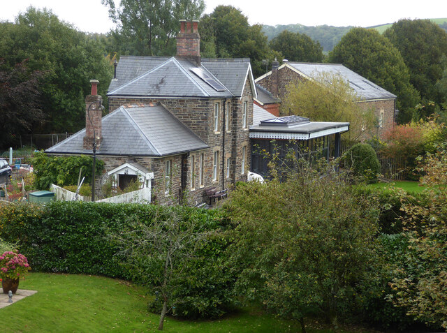
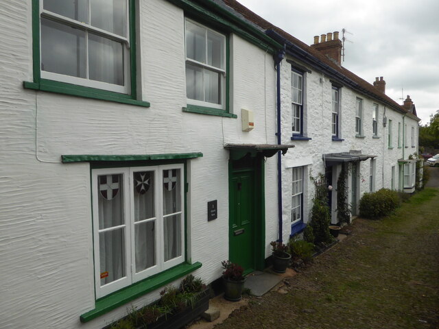
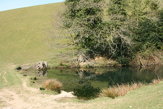
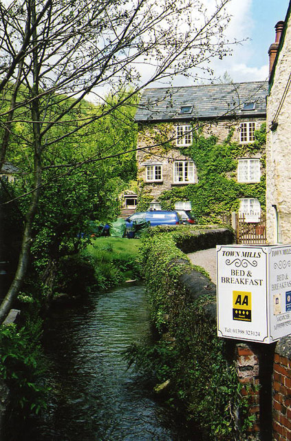
Bottom Close Plantation Images
Images are sourced within 2km of 51.027668/-3.5558302 or Grid Reference SS9026. Thanks to Geograph Open Source API. All images are credited.


Bottom Close Plantation is located at Grid Ref: SS9026 (Lat: 51.027668, Lng: -3.5558302)
Administrative County: Somerset
District: Somerset West and Taunton
Police Authority: Avon and Somerset
What 3 Words
///nervy.garden.repeating. Near Dulverton, Somerset
Nearby Locations
Related Wikis

Combe, Dulverton
Combe is a historic estate in Somerset, England, situated between the town of Dulverton and the village of Brushford. == Descent == === Taunton Priory... ===

Barle Bridge
Barle Bridge is a five span stone arch bridge over the River Barle in Dulverton within the English county of Somerset, which is medieval in origin. It...

Dulverton Town Hall
Dulverton Town Hall is a municipal building in Fore Street in Dulverton, Somerset, England. The building, which is the meeting place of Dulverton Town...

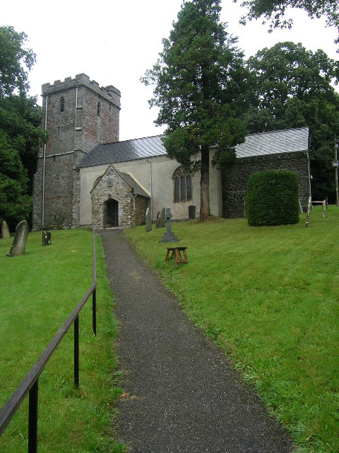
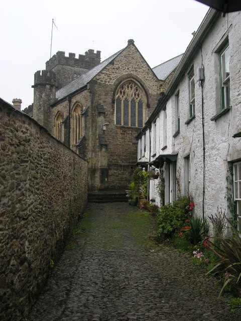
Church of All Saints, Dulverton
The Anglican Church of All Saints in Dulverton, Somerset, England was built in the 15th century and largely rebuilt in the 1850s. It is a Grade II* listed...

Oldberry Castle
Oldberry Castle (sometimes called Oldbury Castle) is an Iron Age hill fort north west of Dulverton, Somerset, England. It lies approximately 0.5 miles...

Brushford, Somerset
Brushford is a village and civil parish 2 miles (3.2 km) south of Dulverton and 12 miles (19 km) north of Tiverton in Devon, in the Somerset West and Taunton...

Dulverton
Dulverton is a town and civil parish in west Somerset, England, near the border with Devon. The town had a population of 1,408 at the 2011 Census. The...

Dulverton Rural District
Dulverton was a rural district in Somerset, England, from 1894 to 1974. It was created in 1894 under the Local Government Act 1894. In 1974 it was abolished...
Nearby Amenities
Located within 500m of 51.027668,-3.5558302Have you been to Bottom Close Plantation?
Leave your review of Bottom Close Plantation below (or comments, questions and feedback).