Ash Hill
Hill, Mountain in Somerset Somerset West and Taunton
England
Ash Hill

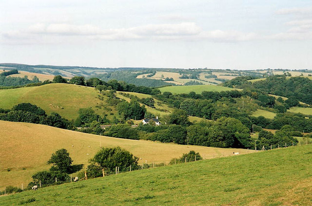
Ash Hill is a prominent hill located in the county of Somerset, England. Standing at an elevation of approximately 225 meters (738 feet) above sea level, it offers scenic views of the surrounding landscape. The hill is situated near the village of Ash, and it is a popular destination for hikers and nature enthusiasts.
Covered in lush greenery, Ash Hill showcases a diverse range of flora and fauna, making it an ideal spot for wildlife observation and photography. The hill is primarily composed of limestone, which gives it a unique geological character and contributes to the rich biodiversity found in the area.
At the summit of Ash Hill, visitors can find a trig point, a concrete pillar used in surveying, which provides a reference point for mapping and navigation purposes. This feature adds a historical and practical aspect to the hill, attracting both outdoor enthusiasts and those interested in surveying and mapping techniques.
The surrounding area offers numerous walking trails, allowing visitors to explore the countryside and enjoy the tranquility that Ash Hill has to offer. The hill is also home to several ancient burial mounds, providing an insight into the area's rich history and heritage.
Overall, Ash Hill in Somerset is a stunning natural landmark that offers a combination of breathtaking views, diverse wildlife, and historical significance. Whether it's for a leisurely stroll or a more challenging hike, Ash Hill provides an immersive experience for all nature lovers and those seeking a connection with the region's past.
If you have any feedback on the listing, please let us know in the comments section below.
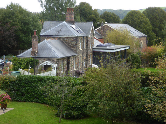
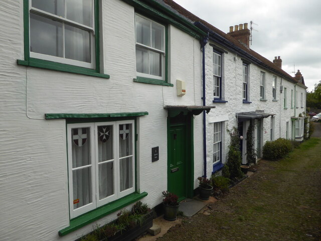
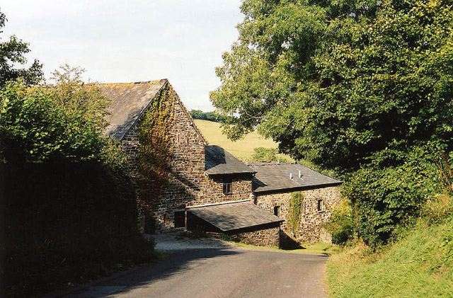
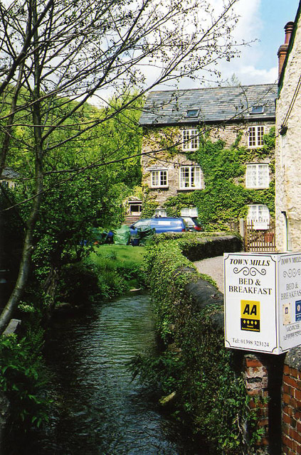
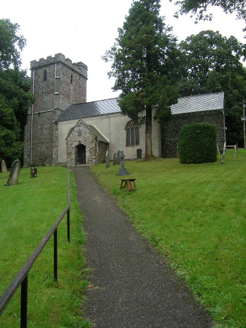
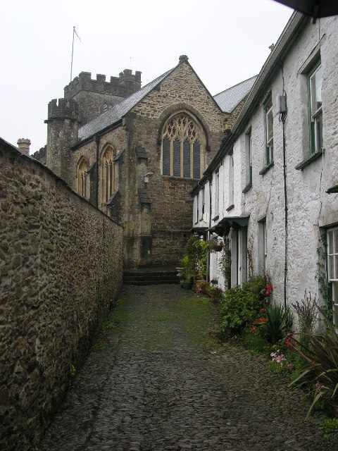
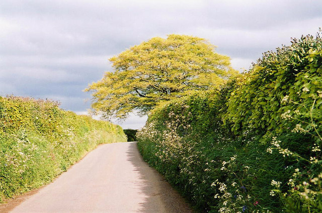
Ash Hill Images
Images are sourced within 2km of 51.024867/-3.5568201 or Grid Reference SS9026. Thanks to Geograph Open Source API. All images are credited.


Ash Hill is located at Grid Ref: SS9026 (Lat: 51.024867, Lng: -3.5568201)
Administrative County: Somerset
District: Somerset West and Taunton
Police Authority: Avon and Somerset
What 3 Words
///soft.reverses.magnum. Near Dulverton, Somerset
Related Wikis

Combe, Dulverton
Combe is a historic estate in Somerset, England, situated between the town of Dulverton and the village of Brushford. == Descent == === Taunton Priory... ===

Barle Bridge
Barle Bridge is a five span stone arch bridge over the River Barle in Dulverton within the English county of Somerset, which is medieval in origin. It...

Brushford, Somerset
Brushford is a village and civil parish 2 miles (3.2 km) south of Dulverton and 12 miles (19 km) north of Tiverton in Devon, in the Somerset West and Taunton...

Dulverton Town Hall
Dulverton Town Hall is a municipal building in Fore Street in Dulverton, Somerset, England. The building, which is the meeting place of Dulverton Town...

Church of All Saints, Dulverton
The Anglican Church of All Saints in Dulverton, Somerset, England was built in the 15th century and largely rebuilt in the 1850s. It is a Grade II* listed...

Briggins Moor
Briggins Moor is a 15.3 hectare biological Site of Special Scientific Interest in Somerset, notified in 1994. The site is south of Dulverton and close...

Oldberry Castle
Oldberry Castle (sometimes called Oldbury Castle) is an Iron Age hill fort north west of Dulverton, Somerset, England. It lies approximately 0.5 miles...

River Barle
The River Barle runs from the Chains on northern Exmoor, in Somerset, England to join the River Exe at Exebridge, Devon. The river and the Barle Valley...
Have you been to Ash Hill?
Leave your review of Ash Hill below (or comments, questions and feedback).