Horner Green
Wood, Forest in Somerset Somerset West and Taunton
England
Horner Green
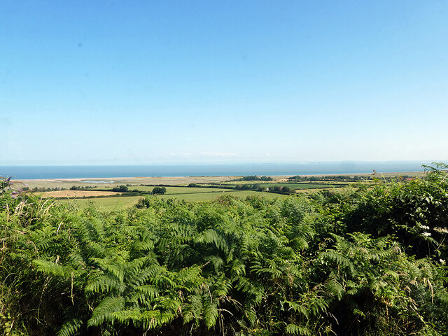
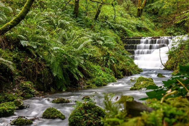
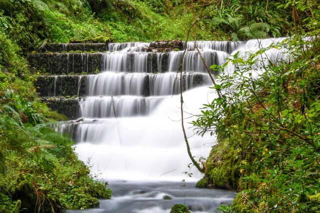
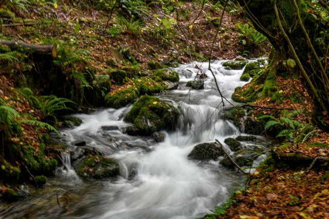
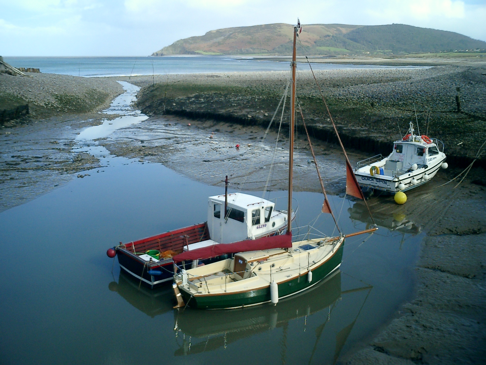
Horner Green, Somerset is a charming village located in the beautiful countryside of the county. Nestled within the Exmoor National Park, it is known for its abundant woodlands and lush forests. The village is situated near the Horner Water, a picturesque river that meanders through the area.
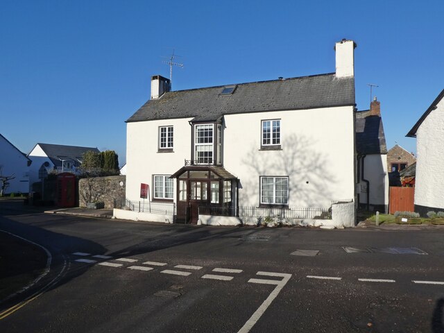
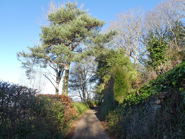
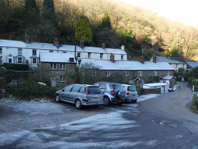
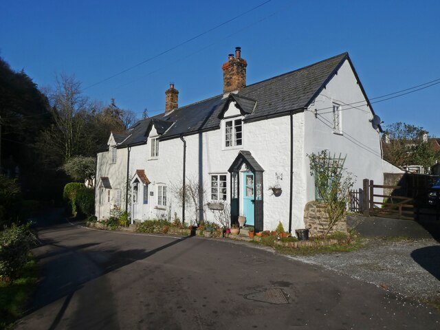
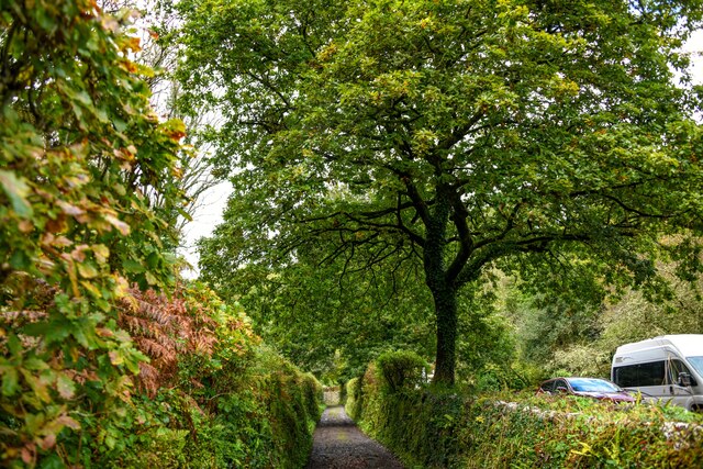
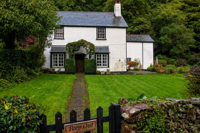
The village itself is small but full of character, with traditional stone cottages and thatched roofs dotting the landscape. It exudes a tranquil and peaceful atmosphere, making it an ideal destination for those seeking a retreat from the hustle and bustle of city life. The surrounding woodlands offer a haven for nature enthusiasts and hikers, with numerous trails and paths to explore.
One of the notable attractions in Horner Green is the Horner Wood, a dense forest that covers a vast area. It is known for its diverse range of tree species, including oak, beech, and ash. The forest is home to a wide array of wildlife, including deer, squirrels, and various bird species, making it a popular spot for wildlife spotting and birdwatching.
Visitors to Horner Green can also enjoy a visit to the historic Allerford Forge, a restored blacksmith's workshop that provides a glimpse into the village's industrial past. Additionally, the nearby Horner Tea Gardens offer a delightful spot to relax and enjoy a cup of tea while taking in the serene surroundings.
Overall, Horner Green, Somerset is a hidden gem that offers a peaceful retreat amidst stunning natural beauty. Whether it's exploring the woodlands, immersing oneself in local history, or simply enjoying the tranquility of village life, this charming destination has something to offer for everyone.
If you have any feedback on the listing, please let us know in the comments section below.
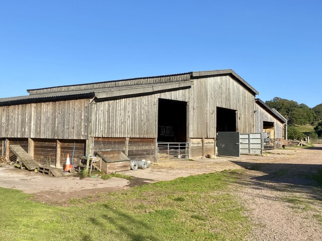
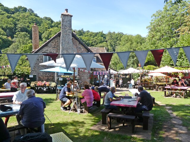
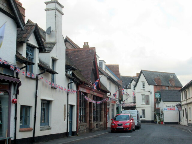
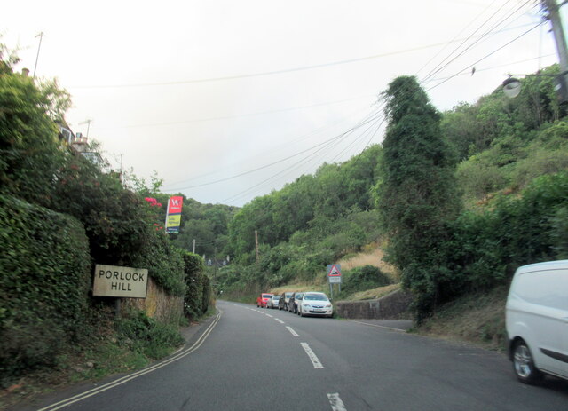
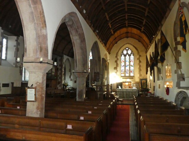
Horner Green Images
Images are sourced within 2km of 51.197795/-3.5811929 or Grid Reference SS8945. Thanks to Geograph Open Source API. All images are credited.


Horner Green is located at Grid Ref: SS8945 (Lat: 51.197795, Lng: -3.5811929)
Administrative County: Somerset
District: Somerset West and Taunton
Police Authority: Avon and Somerset
What 3 Words
///trample.cheesy.stems. Near Porlock, Somerset
Nearby Locations
Related Wikis

Hawkcombe Woods
Hawkcombe Woods is a national nature reserve near Porlock on Exmoor, Somerset, England.The 101 hectares (250 acres) woodlands are notable for their lichens...

Coleridge Way
The Coleridge Way is a 51-mile (82 km) long-distance trail in Somerset and Devon, England. It was opened in April 2005, and the route links several sites...

Dovery Manor Museum
Dovery Manor Museum, also known as Porlock Museum, is a local museum in Porlock, Somerset, England. The building was built as a Manor house in the late...
Porlock
Porlock is a coastal village in Somerset, England, 5 miles (8 km) west of Minehead. At the 2011 census, the village had a population of 1,440.In 2017,...

Holnicote Estate
Holnicote (pronounced "Hunnicutt") in the parish of Selworthy, West Somerset, England, is a historic estate consisting of 12,420 acres (5,026 hectares...

West Somerset Rural Life Museum and Victorian School
The West Somerset Rural Life Museum is a small museum in Allerford, Somerset, England. The building was built in 1821 as the village school and was closed...

Luccombe, Somerset
Luccombe or Luckham is a village and civil parish in the Exmoor National Park in the English county of Somerset. It at the foot of the moor's highest hill...

Porlock Hill
Porlock Hill is a road west of Porlock, Somerset. It is part of the A39, connecting Porlock to Lynmouth and Barnstaple in Devon and is the steepest A-road...
Nearby Amenities
Located within 500m of 51.197795,-3.5811929Have you been to Horner Green?
Leave your review of Horner Green below (or comments, questions and feedback).