Groubear Wood

Wood, Forest in Devon Mid Devon

England

Groubear Wood

Cruwys Morchard: Way Village Cottages by an old chapel
Cruwys Morchard: Way Village Credit: Martin Bodman

The requested URL returned error: 429 Too Many Requests

If you have any feedback on the listing, please let us know in the comments section below.

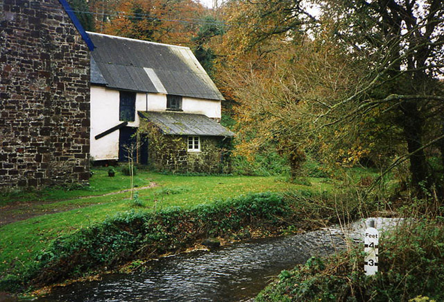
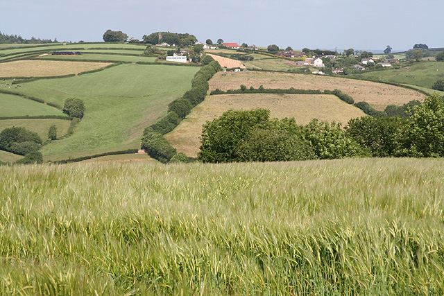
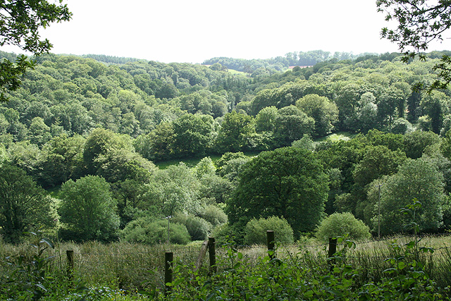
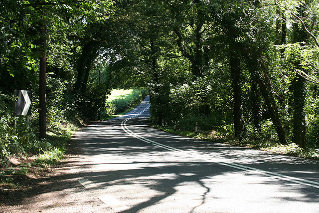
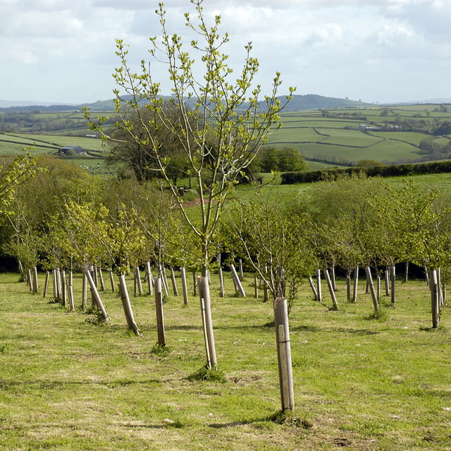
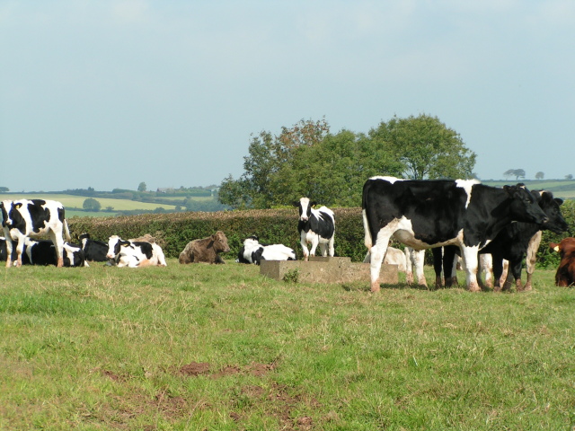
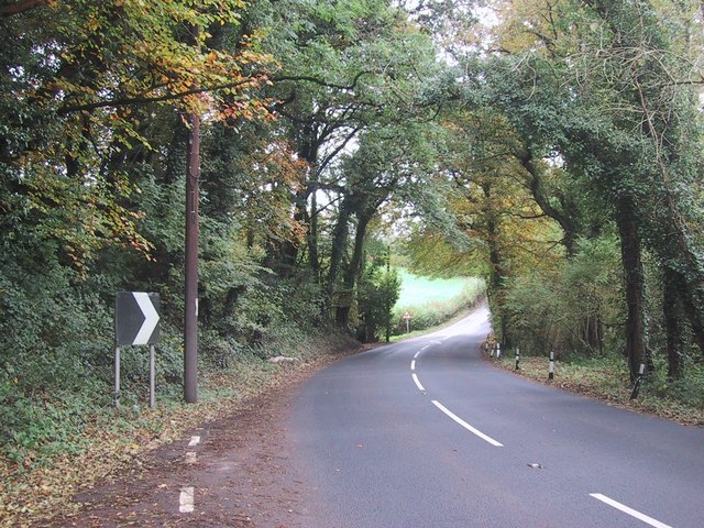
Groubear Wood Images

Images are sourced within 2km of 50.895743/-3.5711233 or Grid Reference SS8911. Thanks to Geograph Open Source API. All images are credited.

Cruwys Morchard: Way Village Cottages by an old chapel
Cruwys Morchard: Way Village
Cottages by an old chapel
Cruwys Morchard: cattle in a field near Lythe-land Looking north towards Templeton
Cruwys Morchard: cattle in a field near Lythe-land
Looking north towards Templeton
Cruwys Morchard: Windmill Farm Entrance to farmyard. In 1553 a windmill stood across the road to the east, probably near the trig point 253m up from sea level, where it would have worked in all winds
Cruwys Morchard: Windmill Farm
Entrance to farmyard. In 1553 a windmill stood across the road to the east, probably near the trig point 253m up from sea level, where it would have worked in all winds
Cruwys Morchard: Morchard Mill By a ford on the Dart, a tributary of the Exe. The overshot waterwheel, once fed by a high-level leat, has gone but inside the mill retains an almost complete set of mill gear
Cruwys Morchard: Morchard Mill
By a ford on the Dart, a tributary of the Exe. The overshot waterwheel, once fed by a high-level leat, has gone but inside the mill retains an almost complete set of mill gear
Cruwys Morchard: near Old Ford House Overlooking a valley; its stream a tributary of the Dart, itself a tributary of the Exe. Looking west-south-west
Cruwys Morchard: near Old Ford House
Overlooking a valley; its stream a tributary of the Dart, itself a tributary of the Exe. Looking west-south-west
Cruwys Morchard: Thorne Farm Looking north east with a new Massey Ferguson tractor parked up
Cruwys Morchard: Thorne Farm
Looking north east with a new Massey Ferguson tractor parked up
Cruwys Morchard: towards Withleigh Withleigh church tower is just visible almost on the horizon, part shrouded in a clump of trees. Looking east-north-east
Cruwys Morchard: towards Withleigh
Withleigh church tower is just visible almost on the horizon, part shrouded in a clump of trees. Looking east-north-east
Templeton: the Dart valley Seen from the entrance to The Old Rectory. A second valley runs down from Cruwys Morchard beyond. Looking south west
Templeton: the Dart valley
Seen from the entrance to The Old Rectory. A second valley runs down from Cruwys Morchard beyond. Looking south west
Tiverton: by Palmer’s Bridge The A373 Tiverton – Witheridge road looking east-south-east towards Withleigh. The climb up to Withleigh is a relatively new route, replacing the old 18th century turnpike which ran steeply up from Groubear Bridge
Tiverton: by Palmer’s Bridge
The A373 Tiverton – Witheridge road looking east-south-east towards Withleigh. The climb up to Withleigh is a relatively new route, replacing the old 18th century turnpike which ran steeply up from Groubear Bridge
Titchen's Bradley Looking from Titchen's Bradley towards Plainsfield and beyond towards East Devon.
Titchen's Bradley
Looking from Titchen's Bradley towards Plainsfield and beyond towards East Devon.
Black Down Copse A stream runs along the edge of the copse and drains into the River Dart, one of numerous wooded side valleys in the area. Seen from the track between Kingdom's Corner and Cotton Farm, as it climbs away from another stream beside Quarry Close Copse.
Black Down Copse
A stream runs along the edge of the copse and drains into the River Dart, one of numerous wooded side valleys in the area. Seen from the track between Kingdom's Corner and Cotton Farm, as it climbs away from another stream beside Quarry Close Copse.
The road to Hookway
The road to Hookway
Chicken and lake at Hookway
Looking towards Way Village, cut hay in the fields
Cows near Thorne Farm
Highgate junction Anyone with a sense of direction will be confused at this junction because Tiverton is East of here, not West.
Highgate junction
Anyone with a sense of direction will be confused at this junction because Tiverton is East of here, not West.
Way Village church
Way Village church
Road through the trees
Show me another place!

Groubear Wood is located at Grid Ref: SS8911 (Lat: 50.895743, Lng: -3.5711233)

Administrative County: Devon

District: Mid Devon

Police Authority: Devon and Cornwall

What 3 Words

///burglars.signal.hotel. Near Tiverton, Devon

Related Wikis

Cruwys Morchard

Cruwys Morchard is an ecclesiastical and civil parish in the Mid Devon district of the county of Devon in England. It is located about four to five miles...

Templeton, Devon

Templeton is a hamlet, parish and former manor in Devon, England, situated 4 miles west of Tiverton. The parish church is dedicated to St Margaret. �...

Calverleigh

Calverleigh (anciently Calwoodleigh) is a village and former civil parish and manor, now in the parish of Loxbeare, in the Mid Devon district, in the county...

Loxbeare

Loxbeare is a village and civil parish in Devon, England. The church is from the twelfth century and the tower is probably Norman. It is dedicated to St...

Nearby Amenities

Located within 500m of 50.895743,-3.5711233
Ford: yes
Lat/Long: 50.8981438/-3.5676666
The data included in this document is from www.openstreetmap.org. The data is made available under ODbL.

Have you been to Groubear Wood?

Leave your review of Groubear Wood below (or comments, questions and feedback).