Langridge Plantation

Wood, Forest in Somerset Somerset West and Taunton

England

Langridge Plantation

Looking North From West Knowle
Looking North From West Knowle Credit: Steve Hall

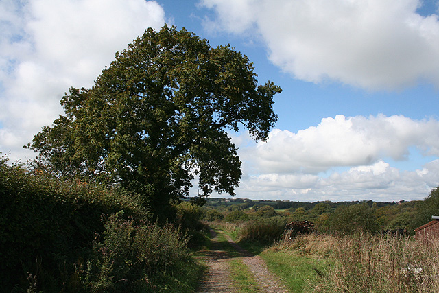
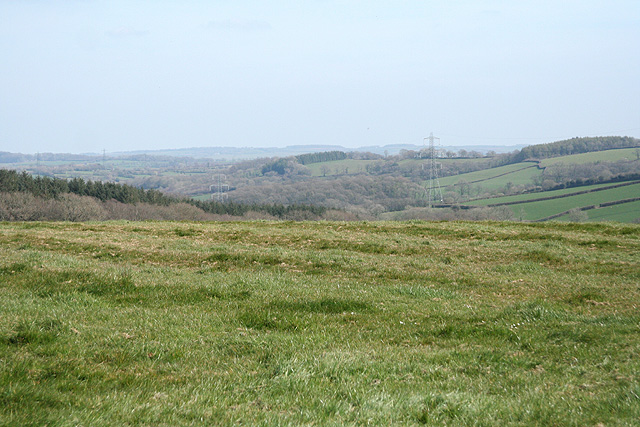
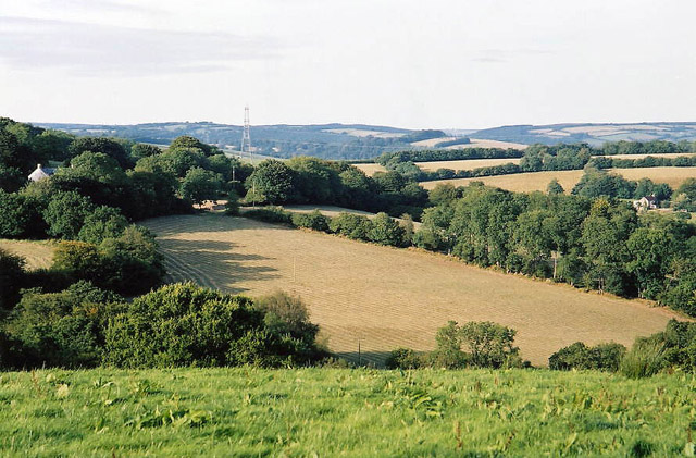
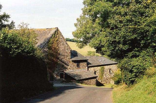
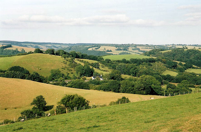
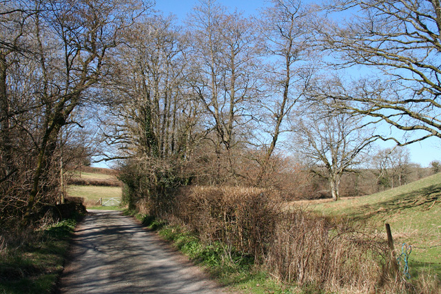
Langridge Plantation is a picturesque woodland located in Somerset, England. Covering an area of approximately 100 acres, it is known for its stunning natural beauty and diverse range of plant and animal species. The plantation is situated in the village of Langridge, nestled amidst the rolling countryside of the Somerset Hills.

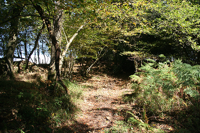
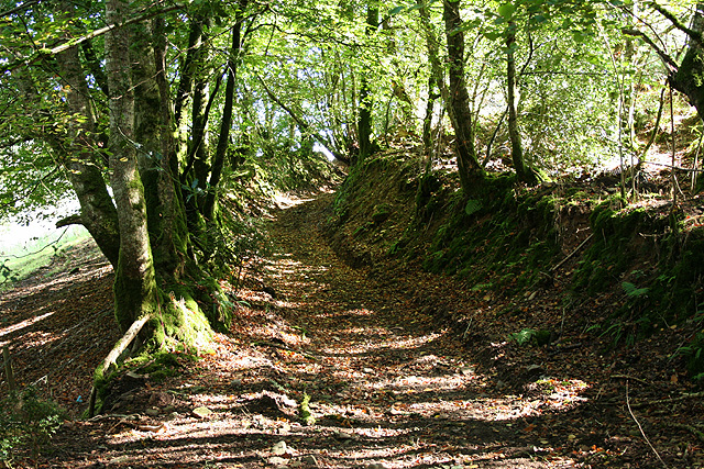
The woodland in Langridge Plantation is primarily made up of broadleaf trees, such as oak, beech, and ash, which create a dense and lush canopy. This provides a habitat for a wide variety of wildlife, including deer, badgers, foxes, and a multitude of bird species. The plantation is also home to several rare and protected species, such as the lesser spotted woodpecker and the bluebell butterfly.

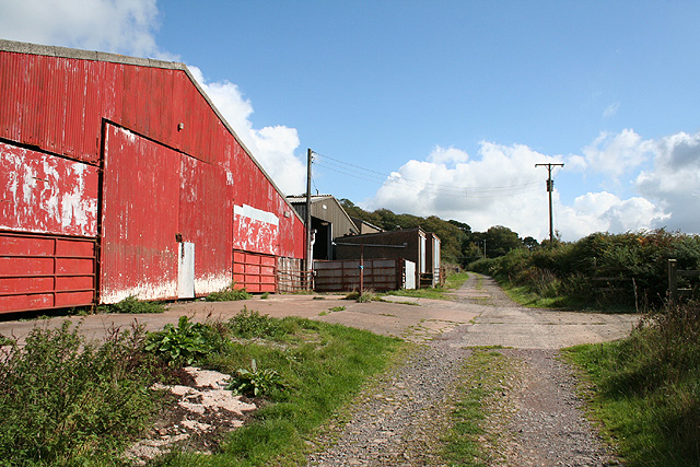
Visitors to Langridge Plantation can enjoy a network of well-maintained walking trails that wind their way through the woodland. These trails offer breathtaking views of the surrounding countryside and provide an opportunity to observe the rich flora and fauna up close. There are also picnic areas and benches strategically placed throughout the plantation, allowing visitors to relax and soak in the tranquil atmosphere.

Langridge Plantation is not only a haven for nature enthusiasts but also serves as an important conservation site. The woodland is managed by local authorities, who work tirelessly to preserve its natural beauty and protect its delicate ecosystem. They conduct regular surveys to monitor the health of the woodland and implement measures to maintain and enhance its biodiversity.

In conclusion, Langridge Plantation is a stunning woodland in Somerset, offering visitors a chance to immerse themselves in nature and enjoy the beauty of a thriving ecosystem. With its diverse range of plant and animal life, well-maintained trails, and commitment to conservation, it is a must-visit destination for anyone seeking a peaceful retreat in the heart of the English countryside.

If you have any feedback on the listing, please let us know in the comments section below.

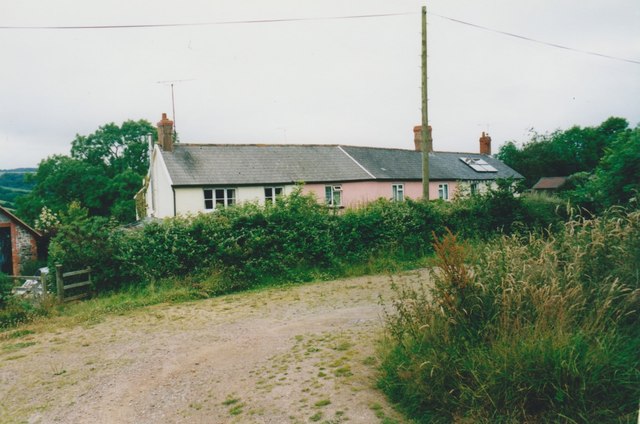
Langridge Plantation Images

Images are sourced within 2km of 51.006016/-3.5750749 or Grid Reference SS8924. Thanks to Geograph Open Source API. All images are credited.

Looking North From West Knowle
Brushford: between Nightcott and Upcott Looking south from the Brushford – Nightcott lane
Brushford: between Nightcott and Upcott
Looking south from the Brushford – Nightcott lane
Oakford: near Ford Farm On a public footpath towards East Mildon. Looking west-north-west. It should be noted, perhaps, that the present day Ford Farm has been built near High Bolham and is not at the place shown on the 1940s Ordnance Survey map. The old building was being converted to a private house recently. The old farm had a remote barn which contained a water-powered threshing machine. By 2003 the waterwheel had gone but the course of the leat was still apparent
Oakford: near Ford Farm
On a public footpath towards East Mildon. Looking west-north-west. It should be noted, perhaps, that the present day Ford Farm has been built near High Bolham and is not at the place shown on the 1940s Ordnance Survey map. The old building was being converted to a private house recently. The old farm had a remote barn which contained a water-powered threshing machine. By 2003 the waterwheel had gone but the course of the leat was still apparent
Oakford: Ford Farm Barns by a track from Combe Water to High Bolham. Looking east-south-east
Oakford: Ford Farm
Barns by a track from Combe Water to High Bolham. Looking east-south-east
Oakford: Red Deer House Previously Red Deer Farm, it stands by the old Bampton – South Molton turnpike, now the B3227, and offers bed and breakfast. Looking north-north-west
Oakford: Red Deer House
Previously Red Deer Farm, it stands by the old Bampton – South Molton turnpike, now the B3227, and offers bed and breakfast. Looking north-north-west
Oakford: mowing at Western Farm Seen by the entrance to the farm, on the B3227. A sign announces that this is the home of pedigree Holstein Friesians, the ‘Revelsmill Herd’. Looking south-south-east
Oakford: mowing at Western Farm
Seen by the entrance to the farm, on the B3227. A sign announces that this is the home of pedigree Holstein Friesians, the ‘Revelsmill Herd’. Looking south-south-east
Brushford: by Trackford Moor On the access road to Lower Sowerhill. Looking south west
Brushford: by Trackford Moor
On the access road to Lower Sowerhill. Looking south west
Brushford: by Higher Allshire Farm Looking towards South Moor and the valley of the Den Brook. The pasture in the foreground has recently been rolled
Brushford: by Higher Allshire Farm
Looking towards South Moor and the valley of the Den Brook. The pasture in the foreground has recently been rolled
Oakford: towards East Tapps Farmland and woodland, seen from the lane near Hutswell. Evening light. Bentley, the historian of Oakford, writing in the early 1980s, noted that a sluice gate and a millpond survived at East Tapps: the farm clearly used water power in the 19th century. In the 18th or earlier centuries a windmill seems to have existed on the estate. Fields here were known as ‘Windmill’ and ‘Outer Windmill’ in 1839.
Oakford: towards East Tapps
Farmland and woodland, seen from the lane near Hutswell. Evening light. Bentley, the historian of Oakford, writing in the early 1980s, noted that a sluice gate and a millpond survived at East Tapps: the farm clearly used water power in the 19th century. In the 18th or earlier centuries a windmill seems to have existed on the estate. Fields here were known as ‘Windmill’ and ‘Outer Windmill’ in 1839.
Brushford: Rocks Farm Seen from the Oldways End-Exebridge Road. The outbuilding by the road once contained a waterwheel which powered farm machinery. The remains of a dry millpond exist to the right of this shot
Brushford: Rocks Farm
Seen from the Oldways End-Exebridge Road. The outbuilding by the road once contained a waterwheel which powered farm machinery. The remains of a dry millpond exist to the right of this shot
Brushford: Higher Upcott and Upcott Farm Seen from the Oldways End-Exebridge Road. Higher Upcott is the building to the left
Brushford: Higher Upcott and Upcott Farm
Seen from the Oldways End-Exebridge Road. Higher Upcott is the building to the left
Brushford:  Croft and Croft Knap Seen from the Oldways End-Exebridge Road
Brushford: Croft and Croft Knap
Seen from the Oldways End-Exebridge Road
Brushford: lane to Nightcott Looking west near a bridge over the Brockley River
Brushford: lane to Nightcott
Looking west near a bridge over the Brockley River
Oakford: Lower Highleigh Wood Public bridleway leading to Great Highleigh and the Exe valley. Looking north east near the edge of the wood
Oakford: Lower Highleigh Wood
Public bridleway leading to Great Highleigh and the Exe valley. Looking north east near the edge of the wood
Oakford: old track On the edge of East Tapps Wood, looking south east. The track, a public bridleway, links Hele Manor and Great Highleigh with East Loosemoor and Hutswell
Oakford: old track
On the edge of East Tapps Wood, looking south east. The track, a public bridleway, links Hele Manor and Great Highleigh with East Loosemoor and Hutswell
West Knowle Cottages in West Knowle.
West Knowle
Cottages in West Knowle.
West Knowle Cottages in West Knowle.
West Knowle
Cottages in West Knowle.
Woodland path in Combe Bottom
Show me another place!

Langridge Plantation is located at Grid Ref: SS8924 (Lat: 51.006016, Lng: -3.5750749)

Administrative County: Somerset

District: Somerset West and Taunton

Police Authority: Avon and Somerset

What 3 Words

///grins.titles.anode. Near Dulverton, Somerset

Related Wikis

Briggins Moor

Briggins Moor is a 15.3 hectare biological Site of Special Scientific Interest in Somerset, notified in 1994. The site is south of Dulverton and close...

River Barle

The River Barle runs from the Chains on northern Exmoor, in Somerset, England to join the River Exe at Exebridge, Devon. The river and the Barle Valley...

Combe, Dulverton

Combe is a historic estate in Somerset, England, situated between the town of Dulverton and the village of Brushford. == Descent == === Taunton Priory... ===

Oakford, Devon

Oakford is a village and civil parish in the Mid Devon district of Devon, England. It is located three miles (5 km) south west of Bampton and eight miles...

East Anstey

East Anstey is a village and civil parish in the North Devon district of Devon, England. The parish is located in an area which has been designated as...

Oldways End

Oldways End is a hamlet in the civil parish of East Anstey in the North Devon district of Devon, England. Its nearest town is Tiverton, which lies approximately...

Brushford, Somerset

Brushford is a village and civil parish 2 miles (3.2 km) south of Dulverton and 12 miles (19 km) north of Tiverton in Devon, in the Somerset West and Taunton...

Oakfordbridge

Oakfordbridge is a village in Devon, England. == References == The geographic coordinates are from the Ordnance Survey. == External links == Media related...

Nearby Amenities

Located within 500m of 51.006016,-3.5750749
Power: tower
Lat/Long: 51.0069811/-3.58163
Power: tower
Lat/Long: 51.007127/-3.5701792
Power: tower
Lat/Long: 51.0070704/-3.5755188
The data included in this document is from www.openstreetmap.org. The data is made available under ODbL.

Have you been to Langridge Plantation?

Leave your review of Langridge Plantation below (or comments, questions and feedback).