Acre Copse

Wood, Forest in Somerset Somerset West and Taunton

England

Acre Copse

Brushford: Knowle Farm
Brushford: Knowle Farm Credit: Martin Bodman

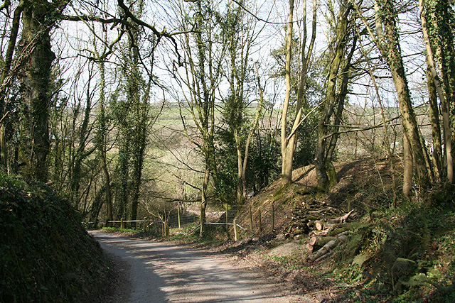
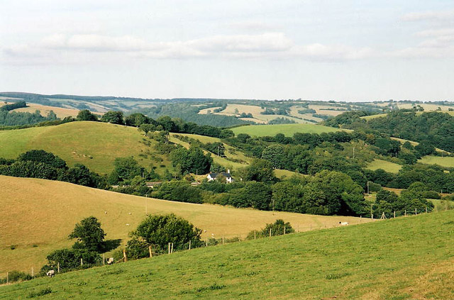
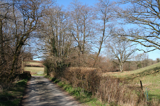
Acre Copse is a picturesque woodland located in Somerset, England. Covering an area of approximately 100 acres, it is known for its rich biodiversity and stunning natural beauty. The copse is predominantly made up of deciduous trees, including oak, ash, and beech, which create a dense canopy overhead, providing shade and shelter for a variety of flora and fauna.

The woodland floor is carpeted with a diverse range of wildflowers, including bluebells, primroses, and wood anemones, which bloom in vibrant colors during the spring months. This creates a breathtaking sight and attracts nature enthusiasts and photographers alike.

Acre Copse is also home to a wide range of wildlife. Visitors may encounter deer, foxes, and squirrels while exploring the woodland trails. Birdwatchers will delight in the opportunity to spot various species, including woodpeckers, owls, and songbirds, which can often be heard serenading visitors with their melodious calls.

The copse is carefully managed to ensure the preservation of its natural habitat. Conservation efforts aim to maintain the diversity of the woodland ecosystem and protect vulnerable species. Regular maintenance work, such as tree planting and selective felling, is carried out to maintain a healthy balance within the woodland.

Acre Copse offers a tranquil escape from the hustle and bustle of everyday life, inviting visitors to immerse themselves in the beauty of nature. The well-maintained footpaths and picnic areas make it an ideal location for families and nature enthusiasts to explore and enjoy the wonders of this enchanting woodland.

If you have any feedback on the listing, please let us know in the comments section below.
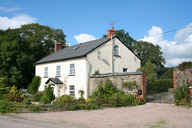
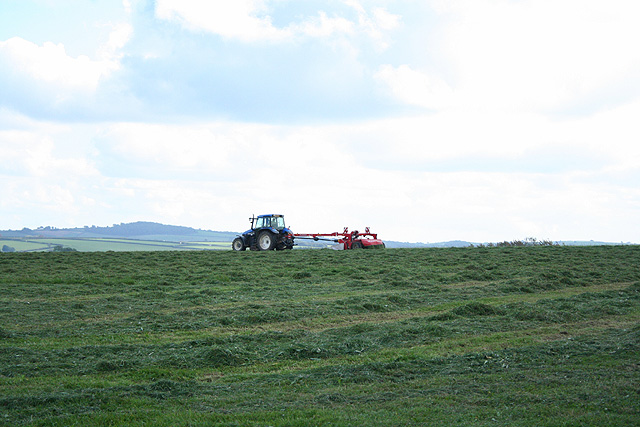
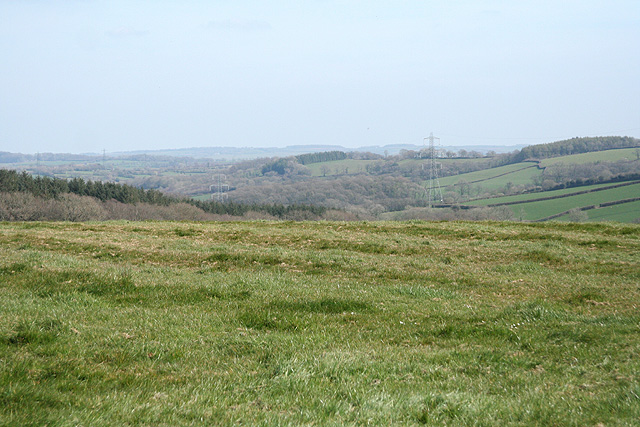
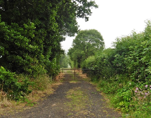
Acre Copse Images

Images are sourced within 2km of 51.013309/-3.5824073 or Grid Reference SS8924. Thanks to Geograph Open Source API. All images are credited.

Brushford: Knowle Farm
Looking North From West Knowle
Brushford: Venn Looking north from the lane between West Knowle and Hawkwell Cross
Brushford: Venn
Looking north from the lane between West Knowle and Hawkwell Cross
Brushford: Bere A farm in remote country between East Anstey and Dulverton, seen from its entrance gate. The track leading to the farm and on to Broomball Cross is also a public bridleway. Looking north west
Brushford: Bere
A farm in remote country between East Anstey and Dulverton, seen from its entrance gate. The track leading to the farm and on to Broomball Cross is also a public bridleway. Looking north west
Brushford: between Nightcott and Upcott Looking south from the Brushford – Nightcott lane
Brushford: between Nightcott and Upcott
Looking south from the Brushford – Nightcott lane
Brushford: overhead power line A transmission line on Hawtree Moors. Looking south east
Brushford: overhead power line
A transmission line on Hawtree Moors. Looking south east
Oakford: Red Deer House Previously Red Deer Farm, it stands by the old Bampton – South Molton turnpike, now the B3227, and offers bed and breakfast. Looking north-north-west
Oakford: Red Deer House
Previously Red Deer Farm, it stands by the old Bampton – South Molton turnpike, now the B3227, and offers bed and breakfast. Looking north-north-west
Oakford: mowing at Western Farm Seen by the entrance to the farm, on the B3227. A sign announces that this is the home of pedigree Holstein Friesians, the ‘Revelsmill Herd’. Looking south-south-east
Oakford: mowing at Western Farm
Seen by the entrance to the farm, on the B3227. A sign announces that this is the home of pedigree Holstein Friesians, the ‘Revelsmill Herd’. Looking south-south-east
Brushford: by Trackford Moor On the access road to Lower Sowerhill. Looking south west
Brushford: by Trackford Moor
On the access road to Lower Sowerhill. Looking south west
Dulverton: lane near Anstey Farm Looking north-north-west
Dulverton: lane near Anstey Farm
Looking north-north-west
Brushford: by Higher Allshire Farm Looking towards South Moor and the valley of the Den Brook. The pasture in the foreground has recently been rolled
Brushford: by Higher Allshire Farm
Looking towards South Moor and the valley of the Den Brook. The pasture in the foreground has recently been rolled
Brushford: Higher Upcott and Upcott Farm Seen from the Oldways End-Exebridge Road. Higher Upcott is the building to the left
Brushford: Higher Upcott and Upcott Farm
Seen from the Oldways End-Exebridge Road. Higher Upcott is the building to the left
Brushford:  Croft and Croft Knap Seen from the Oldways End-Exebridge Road
Brushford: Croft and Croft Knap
Seen from the Oldways End-Exebridge Road
Brushford: lane to Nightcott Looking west near a bridge over the Brockley River
Brushford: lane to Nightcott
Looking west near a bridge over the Brockley River
West Knowle Cottages in West Knowle.
West Knowle
Cottages in West Knowle.
West Knowle Cottages in West Knowle.
West Knowle
Cottages in West Knowle.
Hillsbrow
Hillsbrow
Farm track, north of the B3227
Show me another place!

Acre Copse is located at Grid Ref: SS8924 (Lat: 51.013309, Lng: -3.5824073)

Administrative County: Somerset

District: Somerset West and Taunton

Police Authority: Avon and Somerset

What 3 Words

///confusion.slot.flat. Near Dulverton, Somerset

Related Wikis

Nearby Amenities

Located within 500m of 51.013309,-3.5824073
Power: pole
Lat/Long: 51.0174534/-3.5831416
Power: pole
Lat/Long: 51.017167/-3.5818089
Power: pole
Lat/Long: 51.0167254/-3.5798274
Power: pole
Lat/Long: 51.0162858/-3.5779569
Turning Loop
Lat/Long: 51.0109982/-3.5871965
The data included in this document is from www.openstreetmap.org. The data is made available under ODbL.

Have you been to Acre Copse?

Leave your review of Acre Copse below (or comments, questions and feedback).