Clark's Copse
Wood, Forest in Devon Mid Devon
England
Clark's Copse

Clark's Copse is a picturesque wood located in the county of Devon, England. Nestled within the rolling hills of the Devonshire countryside, this enchanting forest covers an area of approximately 50 acres. The copse is characterized by a diverse range of tree species, including oak, beech, ash, and birch, which create a verdant canopy overhead, providing a sense of tranquility and seclusion.
The wood is intersected by meandering footpaths, inviting visitors to explore its natural beauty at their own pace. These well-maintained trails wind through the dense undergrowth, revealing a rich tapestry of vibrant wildflowers, such as bluebells, primroses, and foxgloves, which carpet the forest floor during the spring and summer months.
Clark's Copse is also home to a variety of wildlife, making it a haven for nature lovers and birdwatchers. Visitors may catch a glimpse of native species such as badgers, foxes, and deer, as well as a multitude of bird species, including woodpeckers, owls, and songbirds.
The copse offers a peaceful retreat for those seeking a respite from the hustle and bustle of everyday life. It provides ample opportunities for outdoor activities such as picnicking, photography, and nature walks. The tranquil atmosphere, combined with the stunning natural surroundings, make Clark's Copse a popular destination for locals and tourists alike.
Overall, Clark's Copse is a hidden gem in the heart of Devon, offering a sanctuary of natural beauty and tranquility for all who venture into its leafy embrace.
If you have any feedback on the listing, please let us know in the comments section below.
Clark's Copse Images
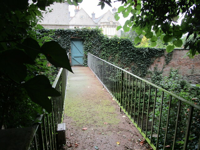
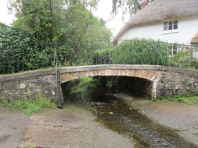
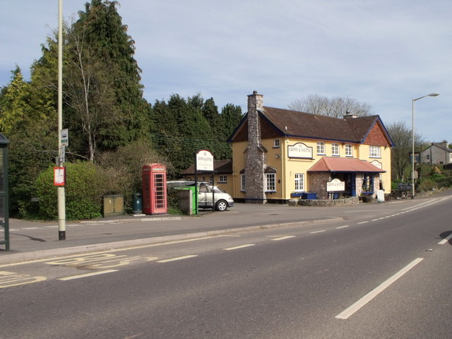
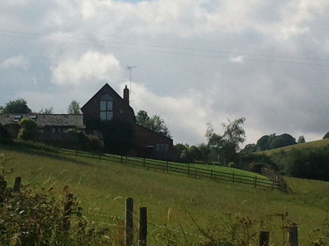
Images are sourced within 2km of 50.770006/-3.5740821 or Grid Reference SX8997. Thanks to Geograph Open Source API. All images are credited.


Clark's Copse is located at Grid Ref: SX8997 (Lat: 50.770006, Lng: -3.5740821)
Administrative County: Devon
District: Mid Devon
Police Authority: Devon and Cornwall
What 3 Words
///picture.severe.cassettes. Near Crediton, Devon
Nearby Locations
Related Wikis

Newton St Cyres
Newton St Cyres (, like "sires") is a village, civil parish former manor and former ecclesiastical parish in Mid Devon, in the English county of Devon...
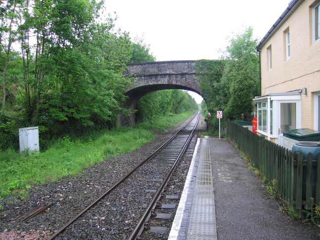
Newton St Cyres railway station
Newton St Cyres railway station is a railway station serving the village of Newton St Cyres, Devon, England. It is served by Great Western Railway trains...
Upton Pyne
Upton Pyne is a parish and village in Devon, England. The parish lies just north west of Exeter, mainly between the River Exe and River Creedy. The village...

Cowley, Devon
Cowley is a hamlet in the parish of Upton Pyne in Devon, England. Cowley church was built as a chapel of ease to Brampford Speke by Rohde Hawkins in 1867...
Nearby Amenities
Located within 500m of 50.770006,-3.5740821Have you been to Clark's Copse?
Leave your review of Clark's Copse below (or comments, questions and feedback).