Trackford Moor
Downs, Moorland in Somerset Somerset West and Taunton
England
Trackford Moor

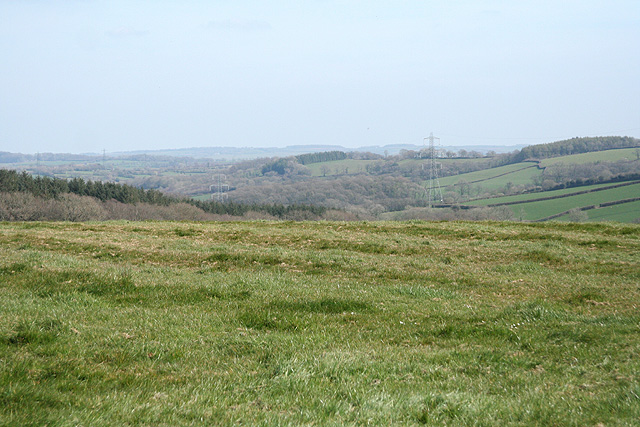
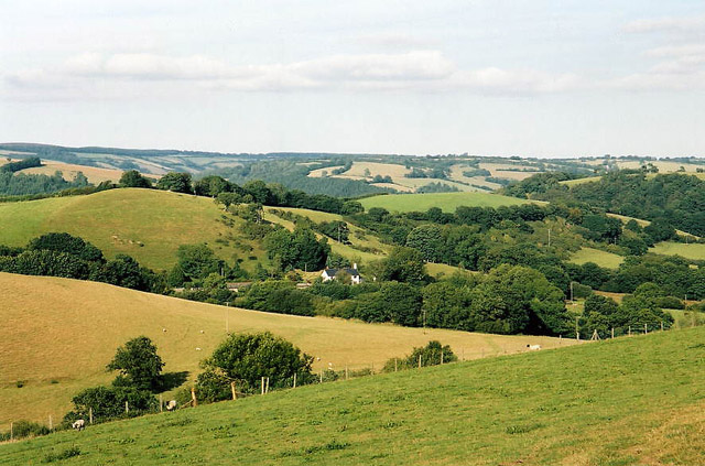
Trackford Moor is a picturesque area located in Somerset, England. Situated in the western part of the county, it is characterized by its stunning downs and moorland landscapes. Covering a vast area, Trackford Moor is an important natural habitat and an integral part of the Somerset Levels and Moors.
The moorland of Trackford is known for its unique flora and fauna, showcasing a diverse range of plant species, including heather, gorse, and grasses. It is also home to several rare bird species, such as the Eurasian curlew and the lapwing, making it a popular destination for birdwatchers. The moorland is often dotted with small pools and marshes, further enhancing its natural beauty.
The downs of Trackford offer panoramic views of the surrounding countryside. Rolling hills and open grassland dominate the landscape, creating a serene and tranquil atmosphere. The downs are also home to a variety of wildlife, including rabbits, foxes, and various bird species.
The area is a haven for outdoor enthusiasts, with numerous walking and cycling trails crisscrossing the moorland and downs. These trails provide opportunities to explore the natural beauty of Trackford Moor, with its stunning vistas and peaceful surroundings.
Trackford Moor is not only a place of natural beauty but also of historical significance. It is believed that the area has been inhabited since prehistoric times, with evidence of ancient settlements and burial mounds. The moorland and downs also played a role in the local economy, with grazing livestock and peat extraction being traditional activities.
Overall, Trackford Moor offers a unique blend of natural beauty, wildlife, and historical significance, making it a must-visit destination for nature lovers and history enthusiasts alike.
If you have any feedback on the listing, please let us know in the comments section below.
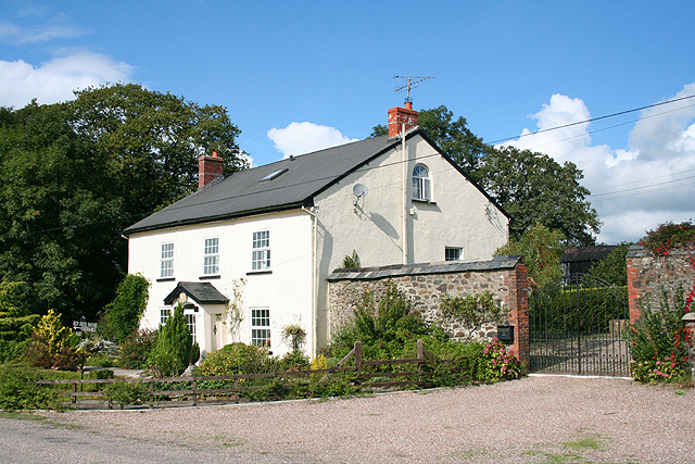
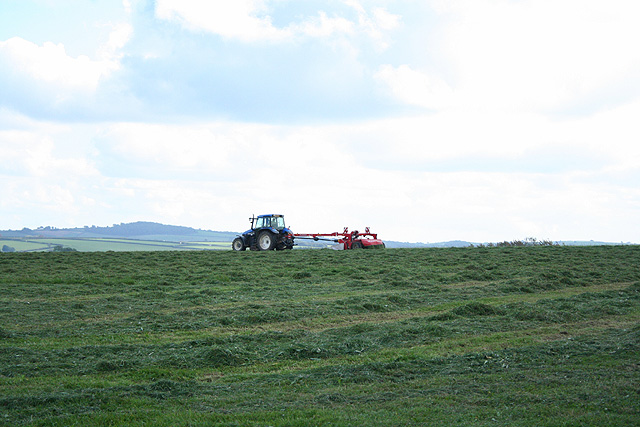
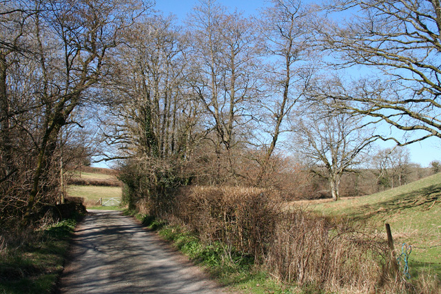
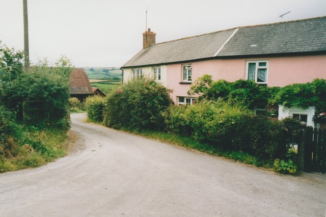
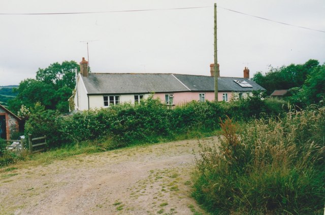
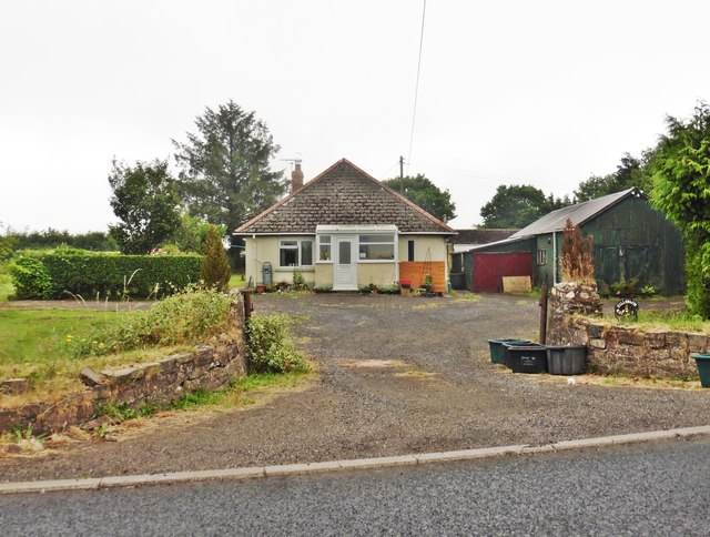
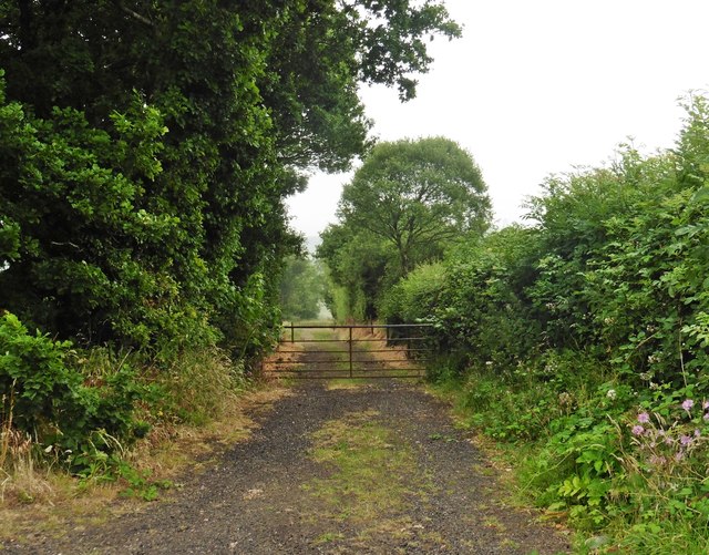
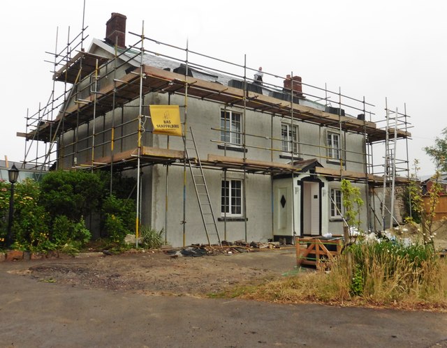
Trackford Moor Images
Images are sourced within 2km of 51.012358/-3.5769292 or Grid Reference SS8924. Thanks to Geograph Open Source API. All images are credited.


Trackford Moor is located at Grid Ref: SS8924 (Lat: 51.012358, Lng: -3.5769292)
Administrative County: Somerset
District: Somerset West and Taunton
Police Authority: Avon and Somerset
What 3 Words
///splendid.opts.garlic. Near Dulverton, Somerset
Nearby Locations
Related Wikis

Briggins Moor
Briggins Moor is a 15.3 hectare biological Site of Special Scientific Interest in Somerset, notified in 1994. The site is south of Dulverton and close...

Combe, Dulverton
Combe is a historic estate in Somerset, England, situated between the town of Dulverton and the village of Brushford. == Descent == === Taunton Priory... ===

East Anstey
East Anstey is a village and civil parish in the North Devon district of Devon, England. The parish is located in an area which has been designated as...

Oldways End
Oldways End is a hamlet in the civil parish of East Anstey in the North Devon district of Devon, England. Its nearest town is Tiverton, which lies approximately...

Brushford, Somerset
Brushford is a village and civil parish 2 miles (3.2 km) south of Dulverton and 12 miles (19 km) north of Tiverton in Devon, in the Somerset West and Taunton...

River Barle
The River Barle runs from the Chains on northern Exmoor, in Somerset, England to join the River Exe at Exebridge, Devon. The river and the Barle Valley...

Barle Bridge
Barle Bridge is a five span stone arch bridge over the River Barle in Dulverton within the English county of Somerset, which is medieval in origin. It...

Dulverton Town Hall
Dulverton Town Hall is a municipal building in Fore Street in Dulverton, Somerset, England. The building, which is the meeting place of Dulverton Town...
Nearby Amenities
Located within 500m of 51.012358,-3.5769292Have you been to Trackford Moor?
Leave your review of Trackford Moor below (or comments, questions and feedback).