Halse Combe
Valley in Somerset Somerset West and Taunton
England
Halse Combe
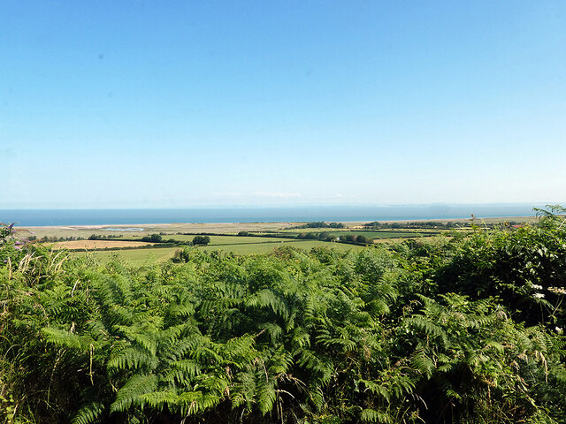
Halse Combe is a picturesque valley located in Somerset, England. Nestled between rolling hills and lush green fields, this small village offers a tranquil and idyllic setting for those seeking a peaceful retreat. Situated just a few miles south of the town of Taunton, Halse Combe benefits from its close proximity to urban amenities while maintaining a rural charm.
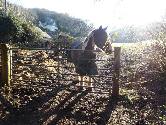
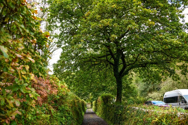
The valley is renowned for its natural beauty, with a meandering stream flowing through the heart of the village. The surrounding landscape features a mix of woodlands, meadows, and farmland, providing a haven for wildlife and offering ample opportunities for outdoor activities such as hiking and birdwatching. The area is particularly known for its diverse bird species, making it a popular destination for nature enthusiasts.
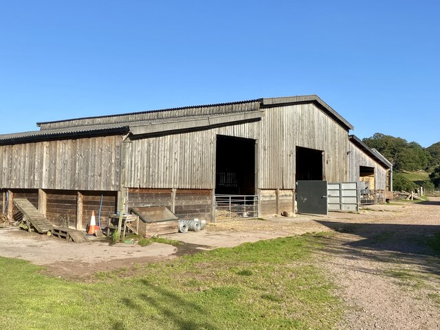
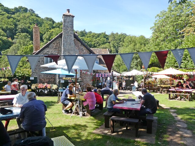
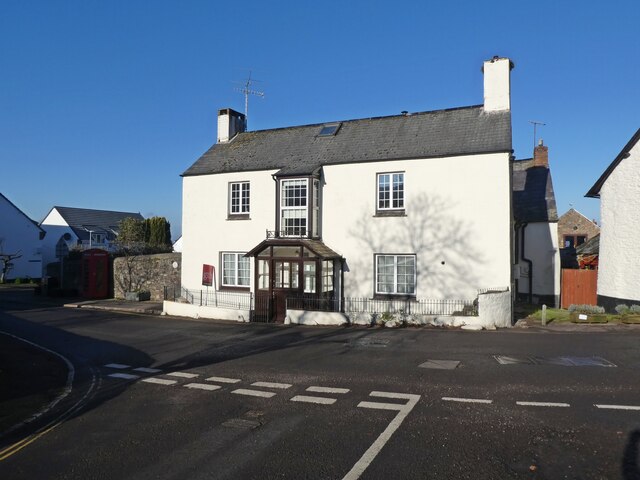
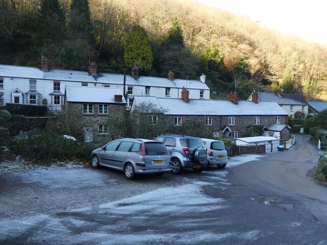
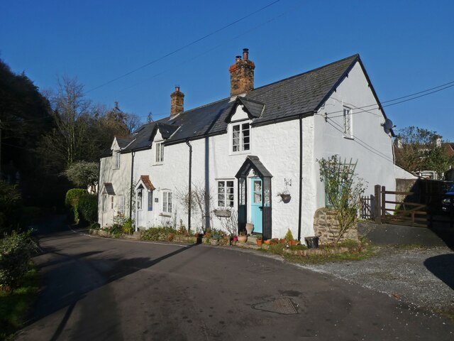
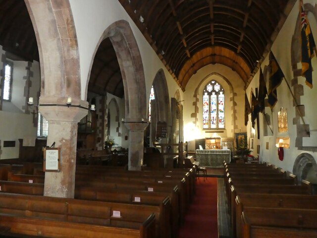
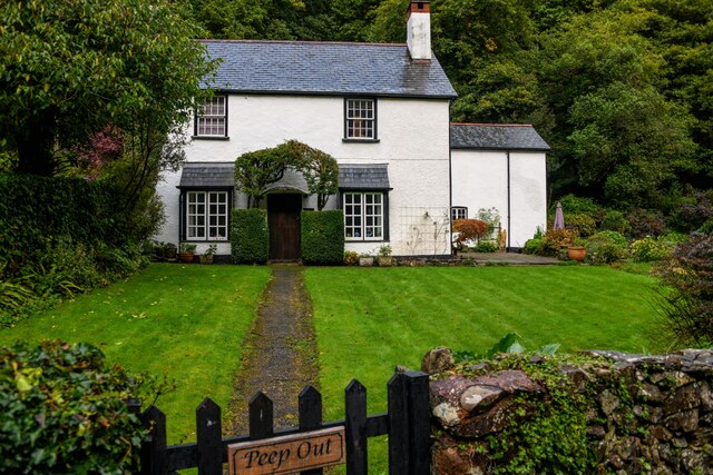
Halse Combe is a close-knit community with a small population, giving it a tight sense of community and a friendly atmosphere. The village is home to a quaint church, which serves as a focal point for social gatherings and events. There are also a handful of traditional cottages and farmhouses that add to the charm of the area.
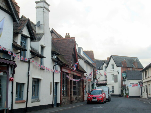
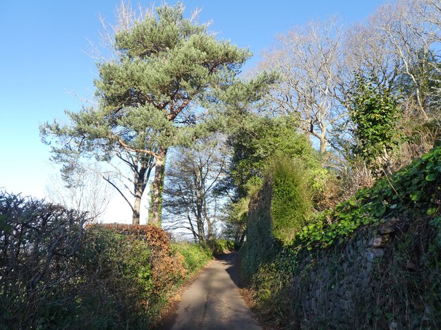
Despite its rural setting, Halse Combe is well-connected to nearby towns and cities. The village is easily accessible by road, with the A358 passing through the area, providing convenient links to Taunton and other surrounding areas. Additionally, there are regular bus services that connect Halse Combe to neighboring towns, making it an ideal location for those who value a peaceful lifestyle but still require access to urban amenities.
Overall, Halse Combe is a hidden gem in Somerset, offering a tranquil and picturesque setting for those seeking a peaceful escape from the hustle and bustle of everyday life.
If you have any feedback on the listing, please let us know in the comments section below.
Halse Combe Images
Images are sourced within 2km of 51.199654/-3.5833321 or Grid Reference SS8945. Thanks to Geograph Open Source API. All images are credited.


Halse Combe is located at Grid Ref: SS8945 (Lat: 51.199654, Lng: -3.5833321)
Administrative County: Somerset
District: Somerset West and Taunton
Police Authority: Avon and Somerset
What 3 Words
///translate.page.underline. Near Porlock, Somerset
Nearby Locations
Related Wikis

Hawkcombe Woods
Hawkcombe Woods is a national nature reserve near Porlock on Exmoor, Somerset, England.The 101 hectares (250 acres) woodlands are notable for their lichens...

Coleridge Way
The Coleridge Way is a 51-mile (82 km) long-distance trail in Somerset and Devon, England. It was opened in April 2005, and the route links several sites...

Dovery Manor Museum
Dovery Manor Museum, also known as Porlock Museum, is a local museum in Porlock, Somerset, England. The building was built as a Manor house in the late...
Porlock
Porlock is a coastal village in Somerset, England, 5 miles (8 km) west of Minehead. At the 2011 census, the village had a population of 1,440.In 2017,...

Holnicote Estate
Holnicote (pronounced "Hunnicutt") in the parish of Selworthy, West Somerset, England, is a historic estate consisting of 12,420 acres (5,026 hectares...

West Somerset Rural Life Museum and Victorian School
The West Somerset Rural Life Museum is a small museum in Allerford, Somerset, England. The building was built in 1821 as the village school and was closed...

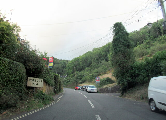
Porlock Hill
Porlock Hill is a road west of Porlock, Somerset. It is part of the A39, connecting Porlock to Lynmouth and Barnstaple in Devon and is the steepest A-road...

Luccombe, Somerset
Luccombe or Luckham is a village and civil parish in the Exmoor National Park in the English county of Somerset. It at the foot of the moor's highest hill...
Nearby Amenities
Located within 500m of 51.199654,-3.5833321Have you been to Halse Combe?
Leave your review of Halse Combe below (or comments, questions and feedback).