Packhorse Bridge
Heritage Site in Somerset Somerset West and Taunton
England
Packhorse Bridge
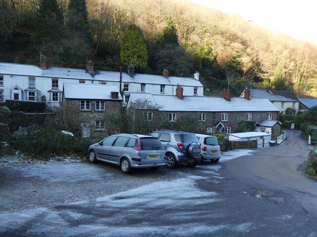
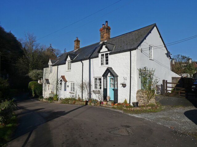
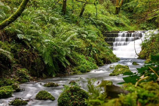
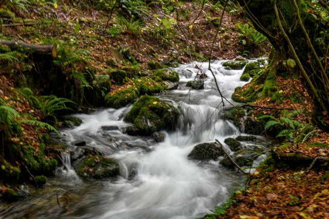
Packhorse Bridge is a historic heritage site located in the county of Somerset, England. This magnificent stone bridge spans the River Avill and is situated in the charming village of Allerford, near the town of Minehead. The bridge is believed to date back to the 15th century and is considered one of the finest examples of medieval packhorse bridges in the country.
The bridge is constructed using local red sandstone, and its sturdy arches and well-preserved structure stand as a testament to the skilled craftsmanship of the era. It features three arches, each with a slightly different shape and size, giving the bridge a unique and picturesque appearance.
Originally built to provide a crossing point for packhorses transporting goods between Allerford and the nearby market towns, Packhorse Bridge played a vital role in the local economy during medieval times. It also served as a crucial link for pilgrims traveling to the nearby Cleeve Abbey.
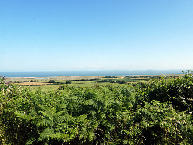
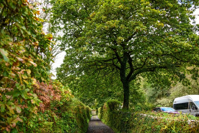
Today, Packhorse Bridge remains an iconic landmark and popular tourist attraction. Visitors can take a leisurely stroll across the bridge, enjoying the scenic views of the surrounding countryside and the tranquil sound of the river below. The site is well-maintained and easily accessible, with nearby parking facilities and informative signage providing historical context.
Packhorse Bridge in Somerset is a true glimpse into the past, offering visitors a chance to marvel at its architectural beauty and appreciate its historical significance as a vital transport link during medieval times.
If you have any feedback on the listing, please let us know in the comments section below.
Packhorse Bridge Images
Images are sourced within 2km of 51.197/-3.582 or Grid Reference SS8945. Thanks to Geograph Open Source API. All images are credited.


Packhorse Bridge is located at Grid Ref: SS8945 (Lat: 51.197, Lng: -3.582)
Administrative County: Somerset
District: Somerset West and Taunton
Police Authority: Avon and Somerset
What 3 Words
///hiker.pegged.treating. Near Porlock, Somerset
Nearby Locations
Related Wikis

Hawkcombe Woods
Hawkcombe Woods is a national nature reserve near Porlock on Exmoor, Somerset, England.The 101 hectares (250 acres) woodlands are notable for their lichens...

Coleridge Way
The Coleridge Way is a 51-mile (82 km) long-distance trail in Somerset and Devon, England. It was opened in April 2005, and the route links several sites...

Dovery Manor Museum
Dovery Manor Museum, also known as Porlock Museum, is a local museum in Porlock, Somerset, England. The building was built as a Manor house in the late...
Porlock
Porlock is a coastal village in Somerset, England, 5 miles (8 km) west of Minehead. At the 2011 census, the village had a population of 1,440.In 2017,...

Holnicote Estate
Holnicote (pronounced "Hunnicutt") in the parish of Selworthy, West Somerset, England, is a historic estate consisting of 12,420 acres (5,026 hectares...

Luccombe, Somerset
Luccombe or Luckham is a village and civil parish in the Exmoor National Park in the English county of Somerset. It at the foot of the moor's highest hill...

West Somerset Rural Life Museum and Victorian School
The West Somerset Rural Life Museum is a small museum in Allerford, Somerset, England. The building was built in 1821 as the village school and was closed...

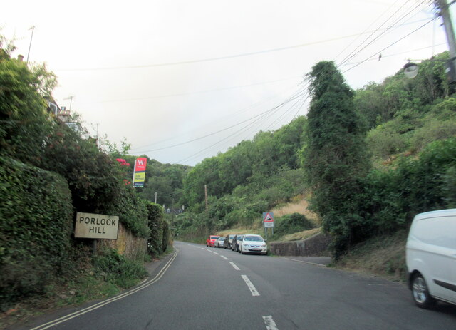
Porlock Hill
Porlock Hill is a road west of Porlock, Somerset. It is part of the A39, connecting Porlock to Lynmouth and Barnstaple in Devon and is the steepest A-road...
Nearby Amenities
Located within 500m of 51.197,-3.582Have you been to Packhorse Bridge?
Leave your review of Packhorse Bridge below (or comments, questions and feedback).