Crawter Hill
Hill, Mountain in Somerset Somerset West and Taunton
England
Crawter Hill
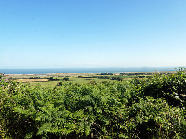
Crawter Hill, located in Somerset, England, is a prominent hill that forms part of the Mendip Hills range. It sits at an elevation of approximately 292 meters above sea level, making it one of the highest points in the immediate region. The hill is surrounded by picturesque countryside, offering breathtaking views of the surrounding landscape.
Crawter Hill is primarily composed of limestone, a characteristic feature of the Mendip Hills. Its formation can be attributed to geological processes that occurred millions of years ago. Over time, erosion and weathering have shaped the hill into its present-day form, with its distinct slopes and ridges.
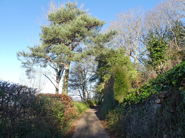
The hill is a popular destination for outdoor enthusiasts, attracting hikers, walkers, and nature lovers throughout the year. Several footpaths and trails traverse the area, allowing visitors to explore the hill and its surroundings. The diverse flora and fauna found on Crawter Hill make it an ideal habitat for various wildlife species.
In addition to its natural beauty, Crawter Hill also holds historical significance. It is believed that the hill was once used as a settlement during prehistoric times. Archaeological findings in the area have uncovered evidence of human activity dating back thousands of years.
Crawter Hill is a cherished landmark in Somerset, offering visitors a chance to connect with nature, indulge in outdoor activities, and appreciate the rich history of the region. Whether it be for a leisurely stroll or a challenging hike, Crawter Hill provides a memorable experience for all who venture to its summit.
If you have any feedback on the listing, please let us know in the comments section below.
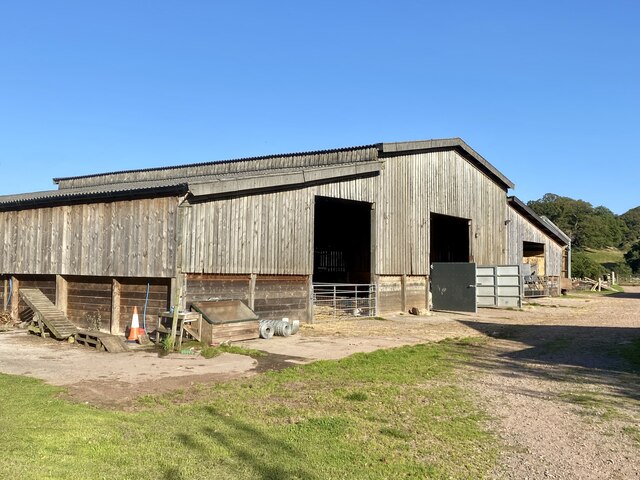
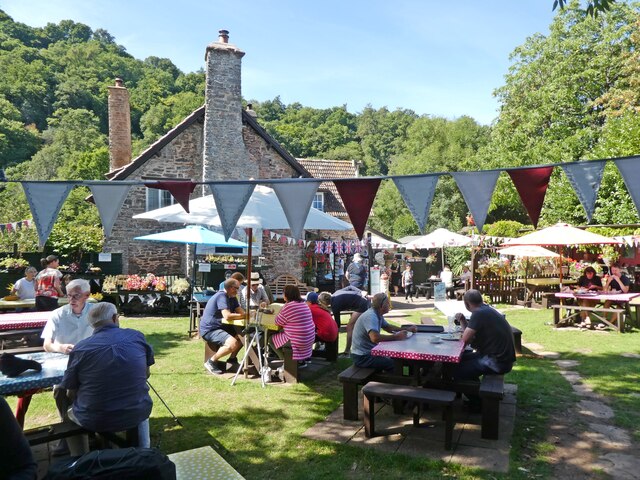
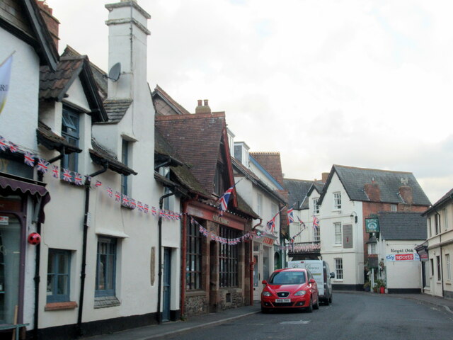
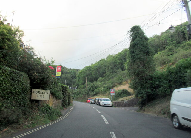
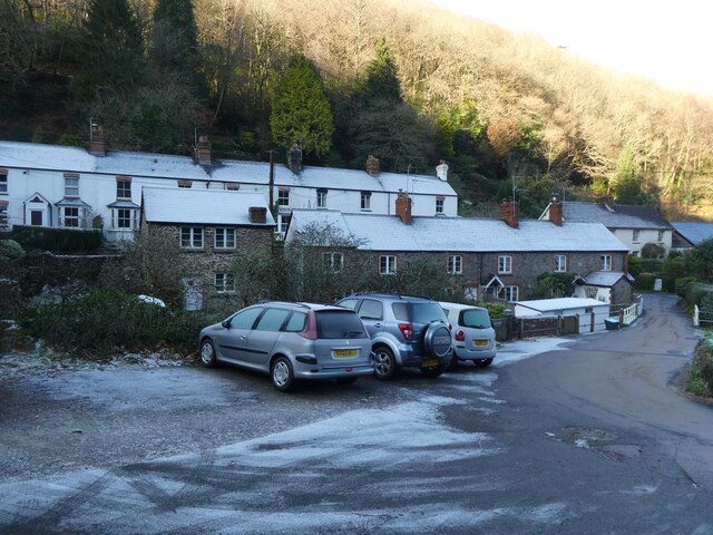
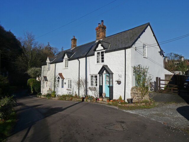
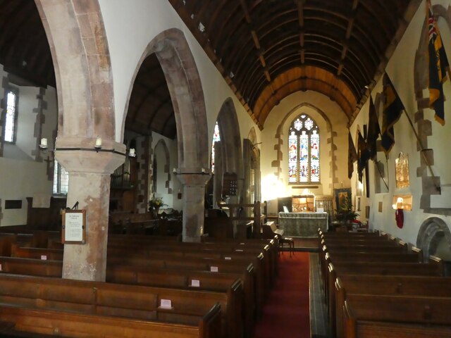
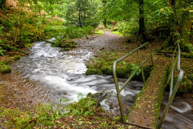
Crawter Hill Images
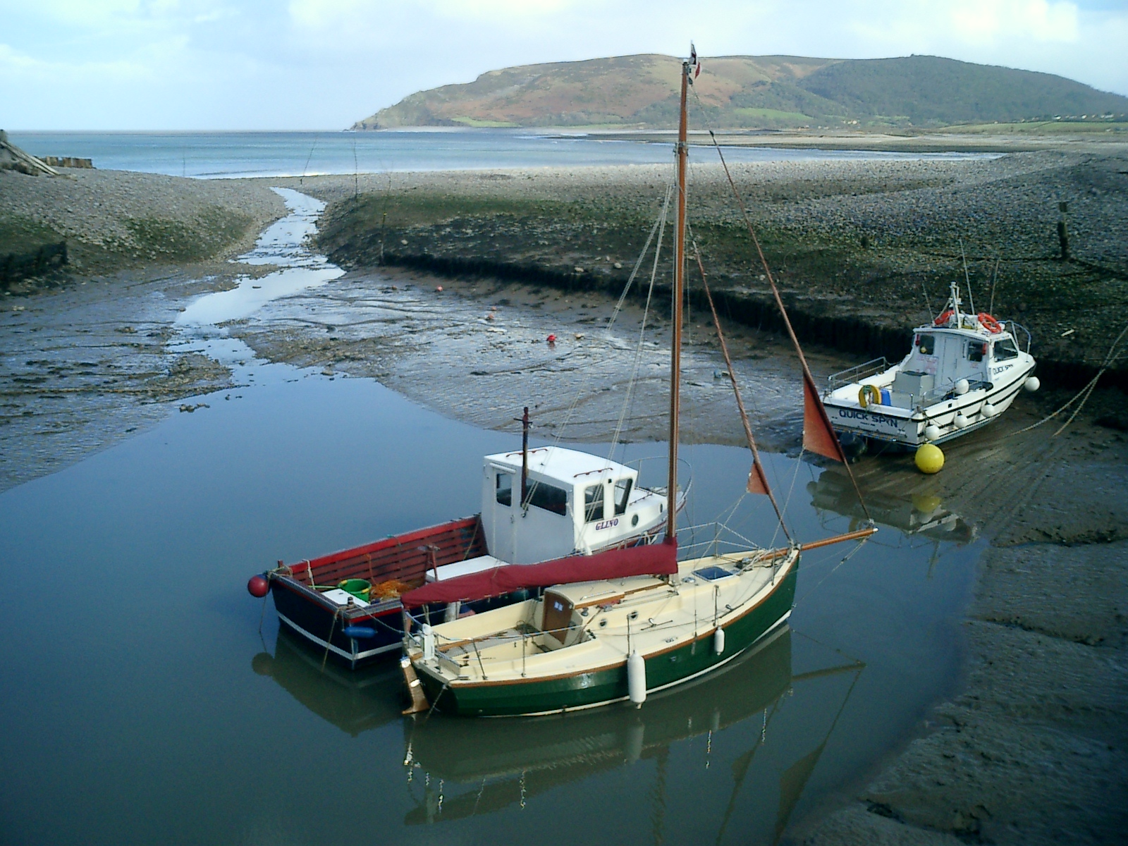
Images are sourced within 2km of 51.200411/-3.5878954 or Grid Reference SS8945. Thanks to Geograph Open Source API. All images are credited.


Crawter Hill is located at Grid Ref: SS8945 (Lat: 51.200411, Lng: -3.5878954)
Administrative County: Somerset
District: Somerset West and Taunton
Police Authority: Avon and Somerset
What 3 Words
///lushly.gems.awesome. Near Porlock, Somerset
Nearby Locations
Related Wikis

Hawkcombe Woods
Hawkcombe Woods is a national nature reserve near Porlock on Exmoor, Somerset, England. The 101 hectares (250 acres) woodlands are notable for their lichens...

Dovery Manor Museum
Dovery Manor Museum, also known as Porlock Museum, is a local museum in Porlock, Somerset, England. The building was built as a Manor house in the late...
Porlock
Porlock is a coastal village in Somerset, England, 5 miles (8 km) west of Minehead. At the 2011 census, the village had a population of 1,440. In 2017...

Coleridge Way
The Coleridge Way is a 51-mile (82 km) long-distance trail in Somerset and Devon, England. It was opened in April 2005, and the route links several sites...
Nearby Amenities
Located within 500m of 51.200411,-3.5878954Have you been to Crawter Hill?
Leave your review of Crawter Hill below (or comments, questions and feedback).