Horner

Settlement in Somerset Somerset West and Taunton

England

Horner

Barn at Horner Farm
Barn at Horner Farm Credit: John H Darch

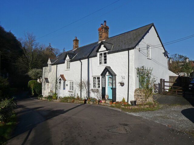
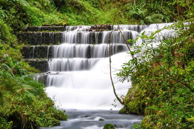
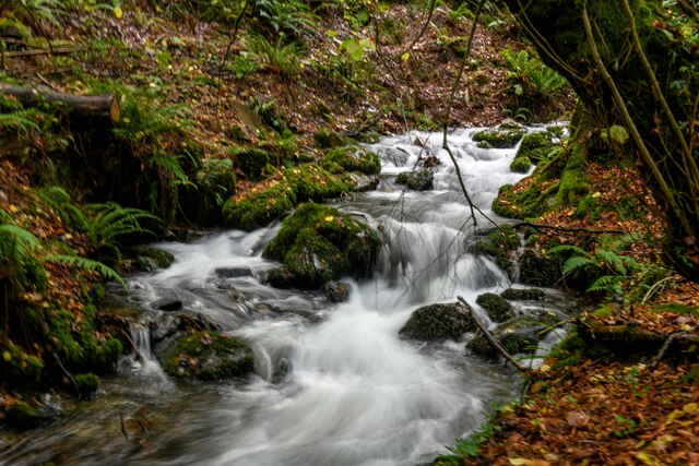
Horner is a charming village located in the county of Somerset, England. Nestled within the picturesque Exmoor National Park, Horner is known for its stunning natural beauty and tranquil atmosphere. The village is situated near the River Horner, which meanders through the valley, adding to the scenic appeal of the area.

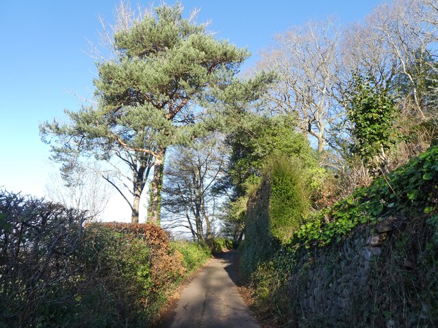
One of the standout features of Horner is its idyllic countryside setting. Surrounded by lush rolling hills, dense woodlands, and sprawling meadows, the village offers a haven for nature lovers and outdoor enthusiasts. There are numerous walking and hiking trails that crisscross the surrounding landscape, providing ample opportunities to explore the area's stunning scenery.

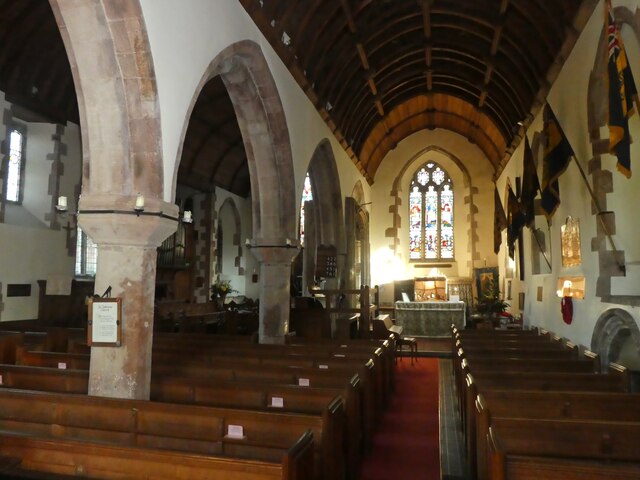
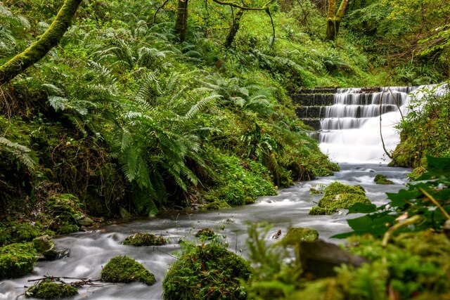
Horner is also home to several historic landmarks, such as All Saints Church, which dates back to the 15th century. The church's architecture is a testament to the village's rich heritage and provides a glimpse into its past. Additionally, nearby attractions include the Horner Wood National Nature Reserve and Horner Water, a picturesque stream that winds its way through the village.

Although Horner is a small village, it boasts a strong sense of community. The village is home to a close-knit population, and there are regular community events and activities that bring residents together. The village also has a traditional pub, where locals and visitors alike can enjoy a warm and friendly atmosphere.

Overall, Horner offers a delightful blend of natural beauty, history, and community spirit. Whether it's exploring the countryside, immersing oneself in the village's history, or simply enjoying the peace and tranquility, Horner provides a truly enchanting experience for all who visit.

If you have any feedback on the listing, please let us know in the comments section below.
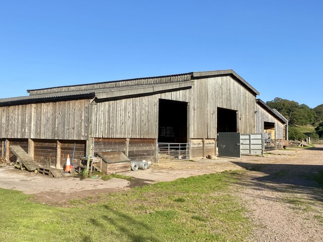
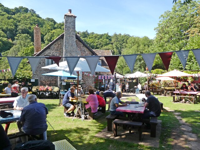
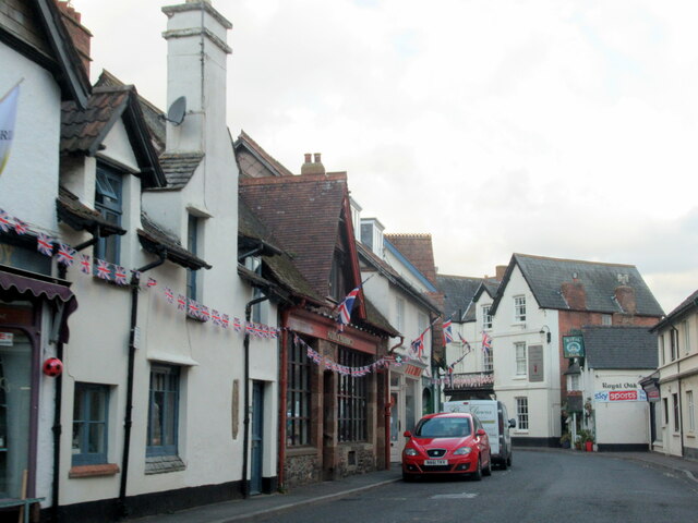
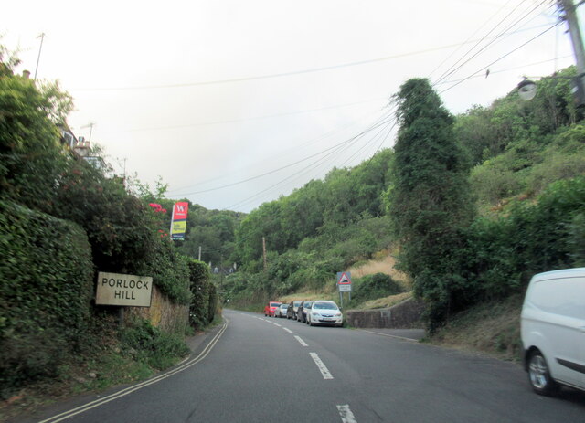
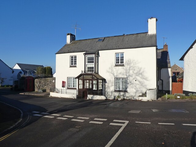
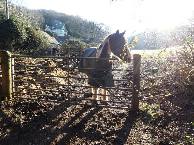
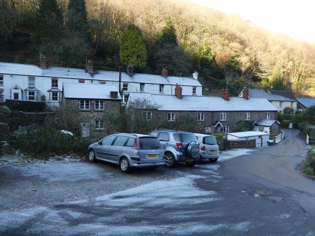
Horner Images

Images are sourced within 2km of 51.198452/-3.578647 or Grid Reference SS8945. Thanks to Geograph Open Source API. All images are credited.

Barn at Horner Farm
Barn at Horner Farm
Tea gardens, Horner
Tea gardens, Horner
Porlock village
Porlock village
Porlock Hill sign on the A39 west
Dover Court House. Porlock
Looking for company
Looking for company
Lane, above Porlock
Lane, above Porlock
A frosty scene at Hawkcombe
Mill Cottages, Hawkcombe
Interior, St Dubricius's Church, Porlock
All methods of payment accepted! At St Dubricius's Church, Porlock
All methods of payment accepted!
At St Dubricius's Church, Porlock
Porlock : Weir A weir in the stream in Hawk Combe.
Porlock : Weir
A weir in the stream in Hawk Combe.
Porlock : Weir Looking towards a weir at Hawk Combe.
Porlock : Weir
Looking towards a weir at Hawk Combe.
Porlock : Stream A stream heads through Hawk Combe.
Porlock : Stream
A stream heads through Hawk Combe.
Porlock : Stream A small stream heads through Hawk Combe.
Porlock : Stream
A small stream heads through Hawk Combe.
Porlock : Footpath & Stream A footpath alongside the stream.
Porlock : Footpath & Stream
A footpath alongside the stream.
Porlock : Stream Looking along a stream in Hawk Combe.
Porlock : Stream
Looking along a stream in Hawk Combe.
Porlock : Footpath A footpath through Hawk Combe.
Porlock : Footpath
A footpath through Hawk Combe.
Show me another place!

Horner is located at Grid Ref: SS8945 (Lat: 51.198452, Lng: -3.578647)

Administrative County: Somerset

District: Somerset West and Taunton

Police Authority: Avon and Somerset

What 3 Words

///unwind.speeches.honeybees. Near Porlock, Somerset

Related Wikis

Hawkcombe Woods

Hawkcombe Woods is a national nature reserve near Porlock on Exmoor, Somerset, England. The 101 hectares (250 acres) woodlands are notable for their lichens...

Coleridge Way

The Coleridge Way is a 51-mile (82 km) long-distance trail in Somerset and Devon, England. It was opened in April 2005, and the route links several sites...

Holnicote Estate

Holnicote (pronounced "Hunnicutt") in the parish of Selworthy, West Somerset, England, is a historic estate consisting of 12,420 acres (5,026 hectares...

Dovery Manor Museum

Dovery Manor Museum, also known as Porlock Museum, is a local museum in Porlock, Somerset, England. The building was built as a Manor house in the late...

Nearby Amenities

Located within 500m of 51.198452,-3.578647
Horner
Is In: Somerset, England, UK
Place: hamlet
Lat/Long: 51.1980234/-3.5776186
Cafe
Horner Tea Rooms
Addr City: Minehead
Addr Country: GB
Addr County: Somerset
Addr Hamlet: Horner
Addr Postcode: TA24 8HY
Addr Street: West Luccombe Road
Fhrs Authority: West Somerset
Fhrs Id: 161384
Fhrs Local Authority Id: PI/000001379
Lat/Long: 51.1973336/-3.5782879
Post Box
Collection Times: Mo-Fr 12:00; Sa 11:00
Operator: Royal Mail
Operator Wikidata: Q638098
Post Box Mounting: building
Post Box Type: wall
Ref: TA24 34
Royal Cypher: EVIIR
Royal Cypher Wikidata: Q33102324
Lat/Long: 51.1973103/-3.5788351
Cafe
Horner Vale Tea Gardens
Addr City: Minehead
Addr Country: GB
Addr County: Somerset
Addr Hamlet: Horner
Addr Housename: Horner Vale
Addr Postcode: TA24 8HY
Addr Street: West Luccombe Road
Fhrs Authority: West Somerset
Fhrs Id: 161387
Fhrs Local Authority Id: PI/000001381
Lat/Long: 51.197472/-3.5789949
Toilets
Lat/Long: 51.197551/-3.5780883
Hiking: yes
Information: guidepost
Source: GPS survey
Tourism: information
Lat/Long: 51.1973846/-3.5792416
Hiking: yes
Information: guidepost
Source: GPS survey
Tourism: information
Lat/Long: 51.1974956/-3.5792712
Hiking: yes
Information: guidepost
Source: GPS survey
Tourism: information
Lat/Long: 51.2022586/-3.5773802
Hiking: yes
Information: guidepost
Source: GPS survey
Tourism: information
Lat/Long: 51.1983611/-3.5791853
Power: pole
Source: bing
Lat/Long: 51.1989965/-3.578158
Power: pole
Source: bing
Lat/Long: 51.2007469/-3.5773668
Power: pole
Source: bing
Lat/Long: 51.1998797/-3.577757
Power: pole
Source: bing
Lat/Long: 51.2015595/-3.5769966
Power: pole
Source: bing
Lat/Long: 51.2023578/-3.5766546
Pentley Seat
Place: locality
Lat/Long: 51.1964997/-3.5837837
Pentley
Place: locality
Lat/Long: 51.197343/-3.5810507
Horner Green
Place: locality
Lat/Long: 51.1979081/-3.5808703
Halse Combe
Place: locality
Lat/Long: 51.1993688/-3.5848157
The data included in this document is from www.openstreetmap.org. The data is made available under ODbL.

Have you been to Horner?

Leave your review of Horner below (or comments, questions and feedback).