Chesterhill
Settlement in Midlothian
Scotland
Chesterhill
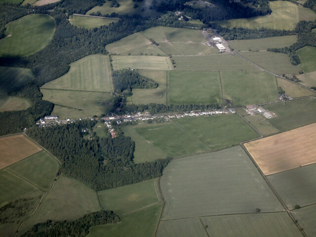
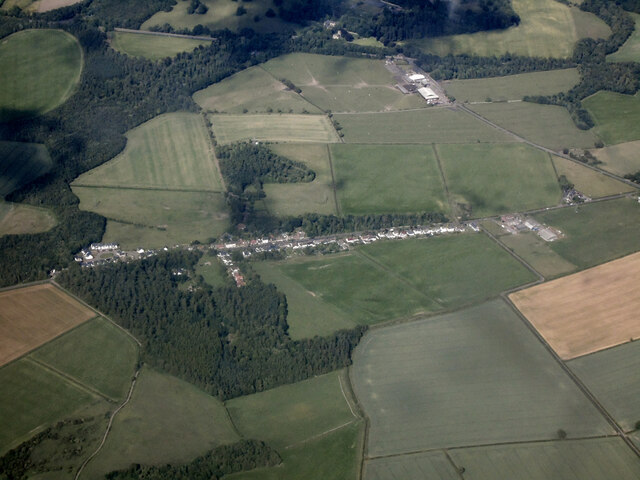
Chesterhill is a quaint village located in the county of Midlothian, Scotland. Situated approximately 8 miles south of Edinburgh, it is nestled amidst the picturesque landscape of the Pentland Hills. With a population of around 1,200 residents, the village offers a peaceful and close-knit community atmosphere.
The village is known for its rich history, dating back to the 13th century when it was first established. The name Chesterhill is believed to have originated from the Old English word "cester" meaning a Roman fort or settlement, indicating the area's historical significance. Many remnants of this ancient past can still be found in the village, including the ruins of Chesterhill Castle, a 16th-century tower house.
Despite its small size, Chesterhill boasts a variety of amenities and services for its residents. The village has a primary school, providing education for the local children, and a community center that hosts various events and activities throughout the year. For outdoor enthusiasts, the surrounding countryside offers ample opportunities for hiking, cycling, and exploring the natural beauty of the Pentland Hills Regional Park.
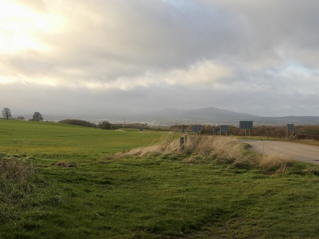
Transportation links in Chesterhill are well-developed, with regular bus services connecting the village to nearby towns and cities. The village is also conveniently located near major road networks, making it easily accessible for commuters and visitors alike.
In summary, Chesterhill is a charming village in Midlothian, Scotland, where history meets natural beauty. With its close-knit community, rich heritage, and picturesque surroundings, it offers a tranquil and idyllic lifestyle for its residents.
If you have any feedback on the listing, please let us know in the comments section below.
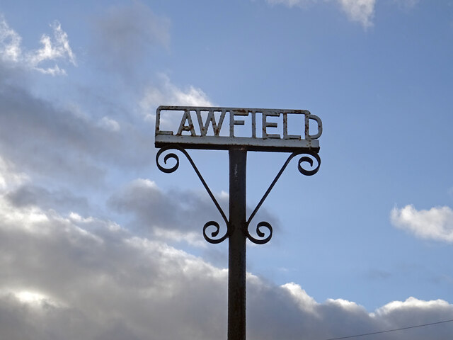
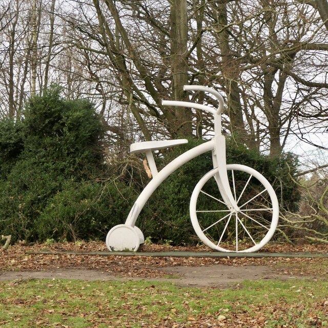
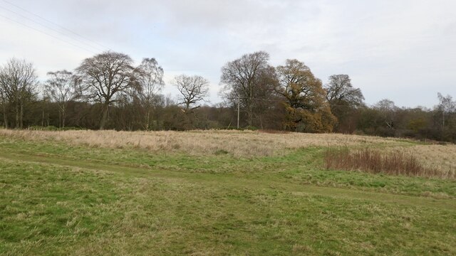
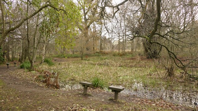
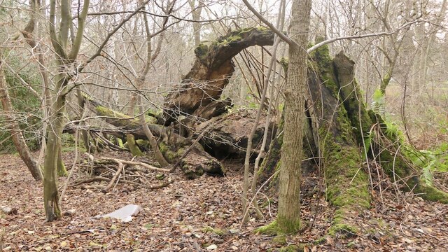
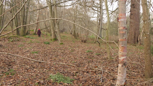
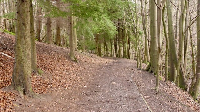
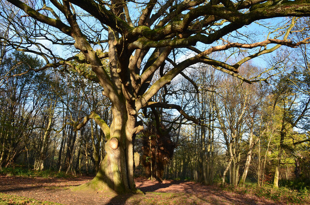
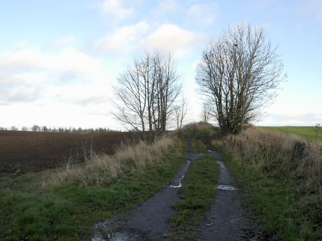
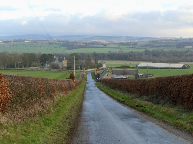
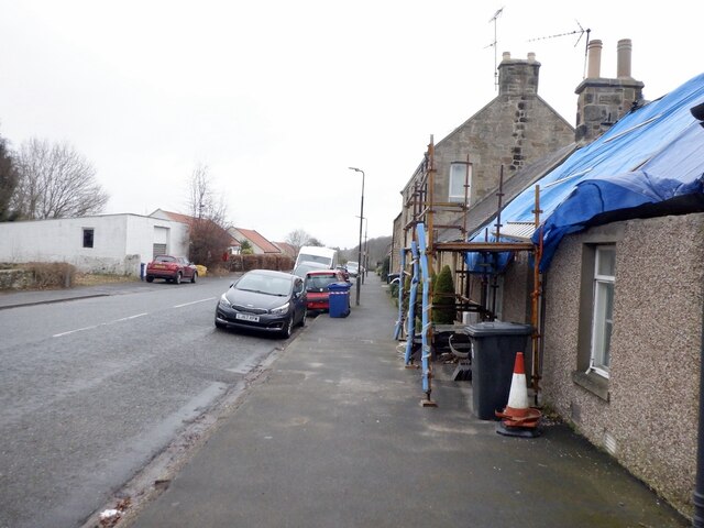
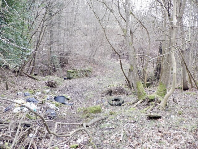
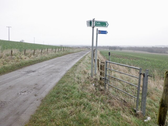
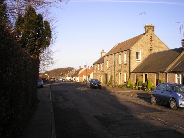
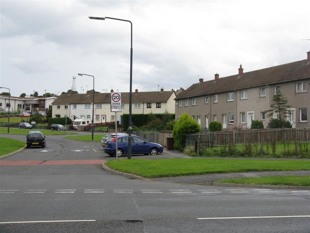
Chesterhill Images
Images are sourced within 2km of 55.874025/-3.0084261 or Grid Reference NT3765. Thanks to Geograph Open Source API. All images are credited.

Chesterhill is located at Grid Ref: NT3765 (Lat: 55.874025, Lng: -3.0084261)
Unitary Authority: Midlothian
Police Authority: The Lothians and Scottish Borders
What 3 Words
///easygoing.amps.serious. Near Mayfield, Midlothian
Nearby Locations
Related Wikis

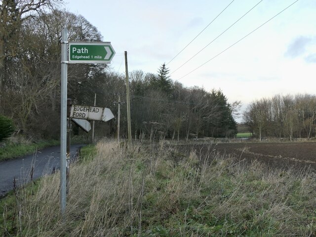
Edgehead
Edgehead (also known as Chesterhill) is a village in Midlothian, Scotland. == Location == Edgehead is situated east of Dewartown and Mayfield, north-west...

D'Arcy, Midlothian
D'Arcy' is a hamlet in Midlothian, Scotland, located just south of Dalkeith near Edinburgh. It is ¼ mile east of Mayfield and lies within the Civil Parish...
Dewartown
Dewartown is a small hamlet in Midlothian, Scotland (near Pathhead and Mayfield). Its name relates to the Dewar family who owned the nearby Vogrie House...

Cranston, Midlothian
Cranston is a parish of Midlothian, Scotland, lying 4+1⁄4 miles (6.8 kilometres) south-east of Dalkeith. It is bounded by the parishes of Inveresk and...
Mayfield, Midlothian
Mayfield is a community in Midlothian, Scotland, located just south of Dalkeith near Edinburgh between the A68 and the A7 south. It had an estimated population...
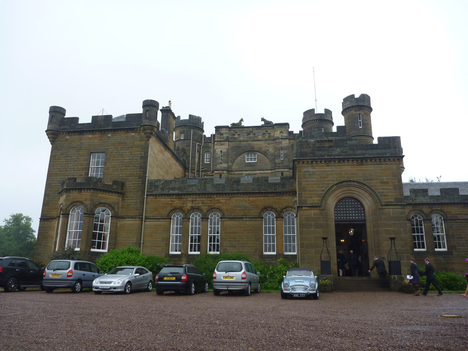
Oxenfoord Castle
Oxenfoord Castle is a country house in Midlothian, Scotland. It is located 1 kilometre (0.62 mi) north of Pathhead, Midlothian, and 6 kilometres (3.7 mi...

Vogrie Country Park
Vogrie Country Park in Scotland is managed by Midlothian Council. It consists of a woodland estate surrounding the Victorian Vogrie House. It is located...

Vogrie House
Vogrie House forms the centrepiece of Vogrie Country Park in Midlothian. It was built for James Dewar and his family in 1876 by Andrew Heiton, the town...
Nearby Amenities
Located within 500m of 55.874025,-3.0084261Have you been to Chesterhill?
Leave your review of Chesterhill below (or comments, questions and feedback).