Windmill Wood
Wood, Forest in Midlothian
Scotland
Windmill Wood
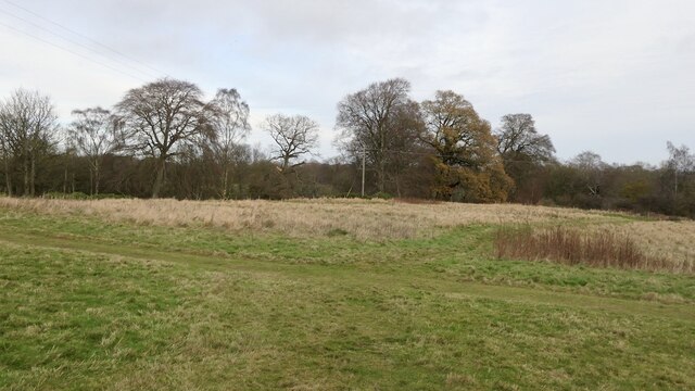
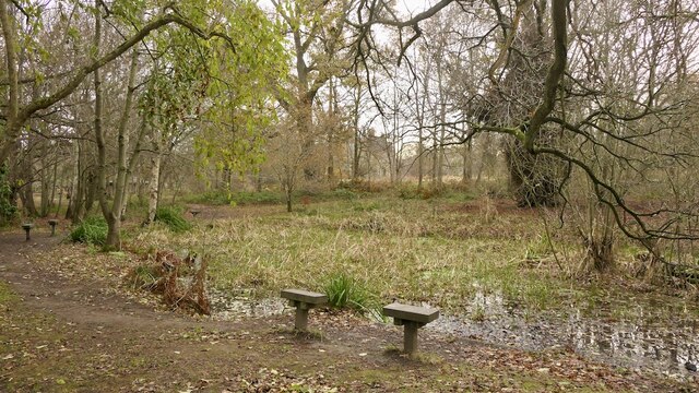
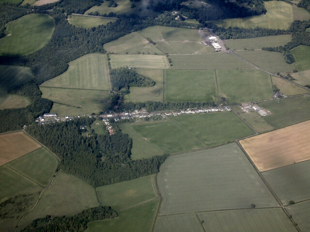
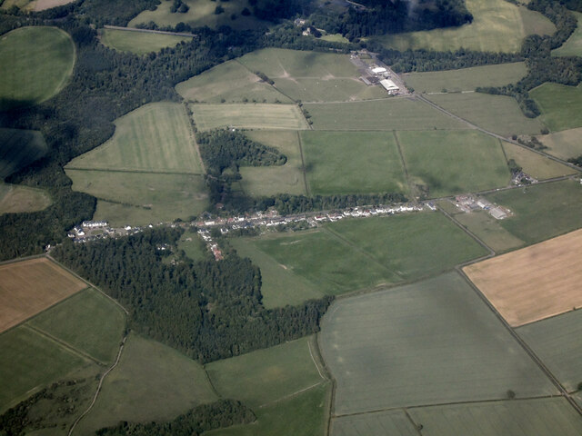
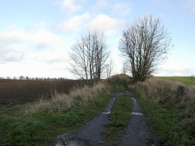
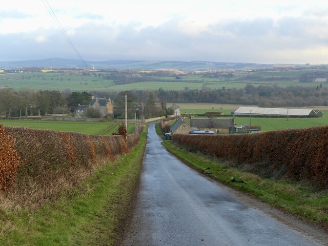
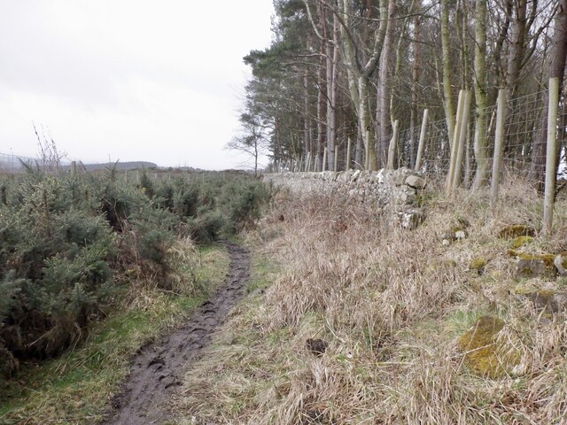
Windmill Wood is a picturesque forest located in the region of Midlothian, Scotland. Spanning over several acres, the wood is characterized by its dense foliage, towering trees, and tranquil atmosphere. It is a popular destination for nature enthusiasts, hikers, and birdwatchers.
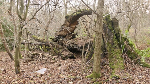
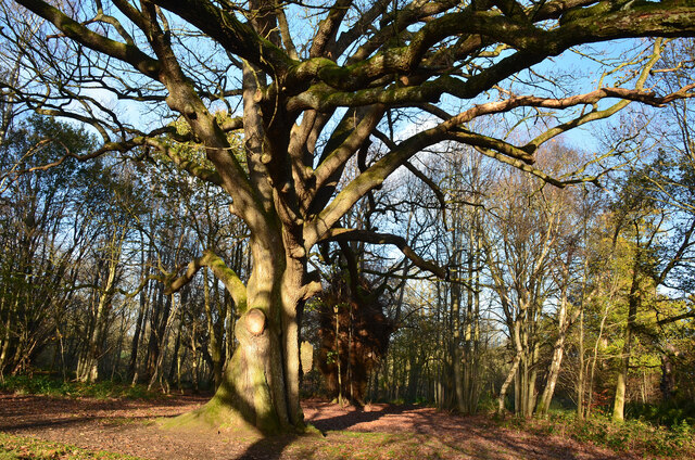
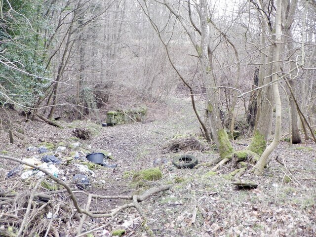
The wood gets its name from the historical windmill that stood on its grounds many years ago. Although the windmill itself no longer exists, its remnants can still be seen, adding a touch of history and intrigue to the area. The wood is known for its diverse range of tree species, including oak, birch, and pine, creating a rich and varied ecosystem.
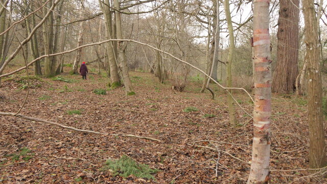
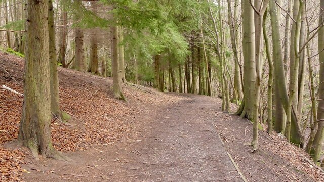
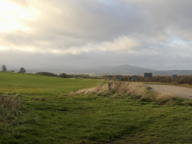
Walking through Windmill Wood, visitors are greeted with a sense of peacefulness and serenity. The well-maintained paths and trails offer a pleasant and accessible experience for all ages and abilities. The wood is also home to a variety of wildlife, such as deer, squirrels, and a wide array of bird species. Birdwatchers often flock to the area to catch glimpses of rare and migratory birds.
The wood is a haven for outdoor enthusiasts, providing opportunities for activities such as nature photography, picnicking, and even orienteering. There are several designated picnic areas with benches and tables, allowing visitors to relax and soak in the natural beauty of the surroundings.
Overall, Windmill Wood in Midlothian offers a peaceful escape from the hustle and bustle of everyday life, providing a stunning natural setting for visitors to explore and enjoy.
If you have any feedback on the listing, please let us know in the comments section below.
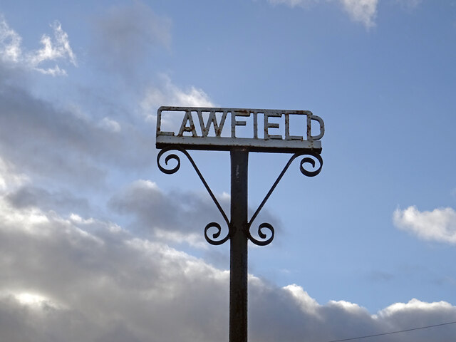
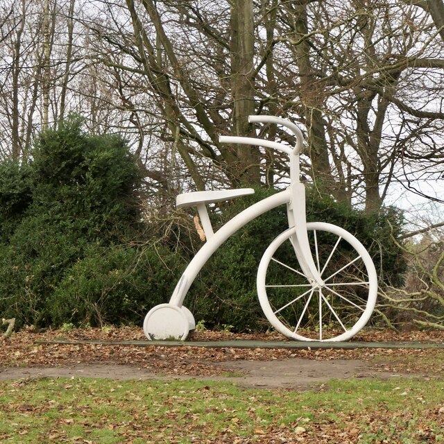
Windmill Wood Images
Images are sourced within 2km of 55.874541/-3.0068732 or Grid Reference NT3765. Thanks to Geograph Open Source API. All images are credited.

Windmill Wood is located at Grid Ref: NT3765 (Lat: 55.874541, Lng: -3.0068732)
Unitary Authority: Midlothian
Police Authority: The Lothians and Scottish Borders
What 3 Words
///acids.modifies.obstruct. Near Mayfield, Midlothian
Nearby Locations
Related Wikis

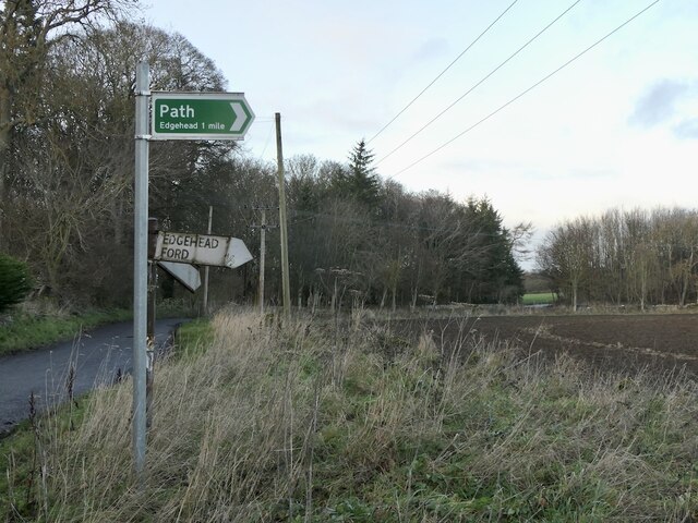
Edgehead
Edgehead (also known as Chesterhill) is a village in Midlothian, Scotland. == Location == Edgehead is situated east of Dewartown and Mayfield, north-west...

D'Arcy, Midlothian
D'Arcy is a hamlet in Midlothian, Scotland, located just south of Dalkeith near Edinburgh. It is ¼ mile east of Mayfield and lies within the Civil Parish...
Dewartown
Dewartown is a small hamlet in Midlothian, Scotland (near Pathhead and Mayfield). Its name relates to the Dewar family who owned the nearby Vogrie House...

Cranston, Midlothian
Cranston is a parish of Midlothian, Scotland, lying 4+1⁄4 miles (6.8 kilometres) south-east of Dalkeith. It is bounded by the parishes of Inveresk and...
Nearby Amenities
Located within 500m of 55.874541,-3.0068732Have you been to Windmill Wood?
Leave your review of Windmill Wood below (or comments, questions and feedback).