Green Drive Wood
Wood, Forest in Midlothian
Scotland
Green Drive Wood
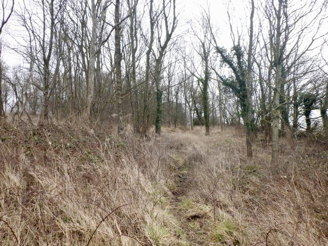
Green Drive Wood is a scenic woodland located in Midlothian, Scotland. Situated just outside the town of Dalkeith, the wood covers an area of approximately 220 acres, making it a significant natural feature in the region. This enchanting forest is characterized by a diverse range of trees, including oak, birch, beech, and Scots pine.
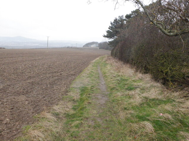
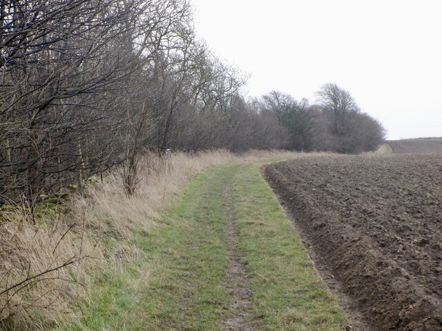
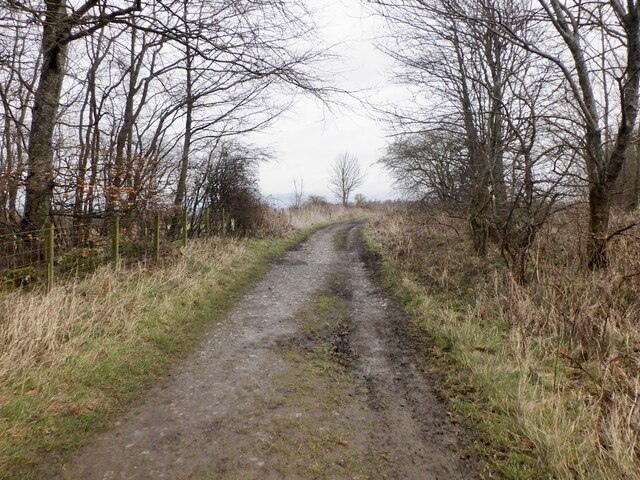
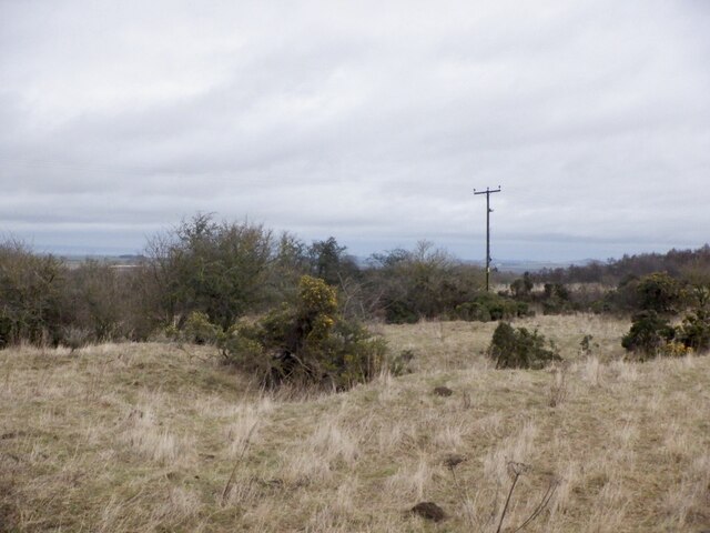
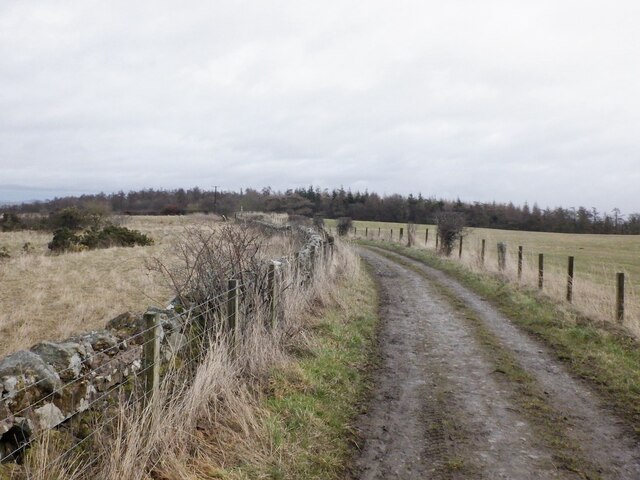
The wood offers several walking trails that wind their way through the dense foliage, providing visitors with a chance to immerse themselves in the serene atmosphere and enjoy the beauty of nature. These paths cater to all levels of fitness and provide opportunities for leisurely strolls or more challenging hikes. Along the way, visitors can spot various wildlife species such as deer, squirrels, and a wide array of birdlife.
Green Drive Wood is also home to a variety of plant life, including wildflowers, ferns, and mosses. This rich biodiversity contributes to the wood's ecological importance and makes it an ideal habitat for many species.
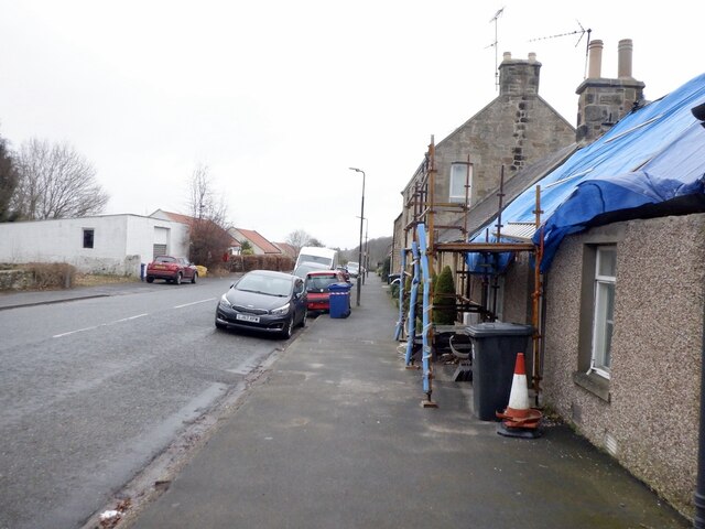
In addition to its natural beauty, Green Drive Wood offers several amenities for visitors. There is a car park near the entrance, making it easily accessible for those arriving by car. Picnic areas are available, providing a perfect spot to relax and enjoy a packed lunch amidst the tranquil surroundings. The wood also features information boards that educate visitors about the local flora and fauna, enhancing their understanding and appreciation of the natural environment.
Overall, Green Drive Wood is a captivating woodland that offers a peaceful escape from the hustle and bustle of daily life. Its scenic trails, abundant wildlife, and diverse plant life make it a popular destination for nature enthusiasts and a valuable resource for the local community.
If you have any feedback on the listing, please let us know in the comments section below.
Green Drive Wood Images
Images are sourced within 2km of 55.880726/-2.9943251 or Grid Reference NT3765. Thanks to Geograph Open Source API. All images are credited.


Green Drive Wood is located at Grid Ref: NT3765 (Lat: 55.880726, Lng: -2.9943251)
Unitary Authority: Midlothian
Police Authority: The Lothians and Scottish Borders
What 3 Words
///cowboy.december.handrail. Near Mayfield, Midlothian
Nearby Locations
Related Wikis

Cranston, Midlothian
Cranston is a parish of Midlothian, Scotland, lying 4+1⁄4 miles (6.8 kilometres) south-east of Dalkeith. It is bounded by the parishes of Inveresk and...

Edgehead
Edgehead (also known as Chesterhill) is a village in Midlothian, Scotland. == Location == Edgehead is situated east of Dewartown and Mayfield, north-west...

Oxenfoord Castle
Oxenfoord Castle is a country house in Midlothian, Scotland. It is located 1 kilometre (0.62 mi) north of Pathhead, Midlothian, and 6 kilometres (3.7 mi...

Preston Hall, Midlothian
Preston Hall, or Prestonhall, is a late-18th-century mansion in Midlothian, to the south of Edinburgh, Scotland. It is located 1.5 kilometres (0.93 mi...
Dewartown
Dewartown is a small hamlet in Midlothian, Scotland (near Pathhead and Mayfield). Its name relates to the Dewar family who owned the nearby Vogrie House...

D'Arcy, Midlothian
D'Arcy' is a hamlet in Midlothian, Scotland, located just south of Dalkeith near Edinburgh. It is ¼ mile east of Mayfield and lies within the Civil Parish...

Pathhead, Midlothian
Pathhead village is a conservation area in Midlothian, Scotland. == Location == Pathhead is located around 4 miles (6.4 km) south east of Dalkeith and...

Vogrie Country Park
Vogrie Country Park in Scotland is managed by Midlothian Council. It consists of a woodland estate surrounding the Victorian Vogrie House. It is located...
Nearby Amenities
Located within 500m of 55.880726,-2.9943251Have you been to Green Drive Wood?
Leave your review of Green Drive Wood below (or comments, questions and feedback).