Chesterfield
Settlement in Derbyshire Chesterfield
England
Chesterfield

Chesterfield is a market town located in Derbyshire, England. Situated on the banks of the River Rother, it lies around 24 kilometers south of Sheffield and 35 kilometers north of Derby. Chesterfield has a population of approximately 100,000 people.
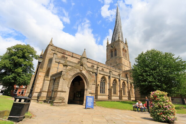
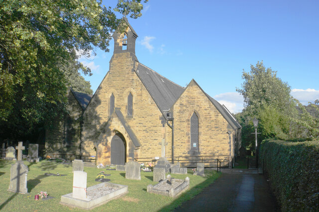
The town is known for its iconic landmark, the 'Crooked Spire' church, officially named the Church of Saint Mary and All Saints. The twisted spire of the 14th-century church is a renowned tourist attraction and symbol of Chesterfield. The town boasts a rich history, with evidence of human settlement dating back to Roman times.
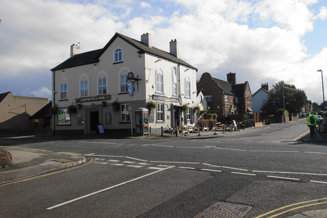
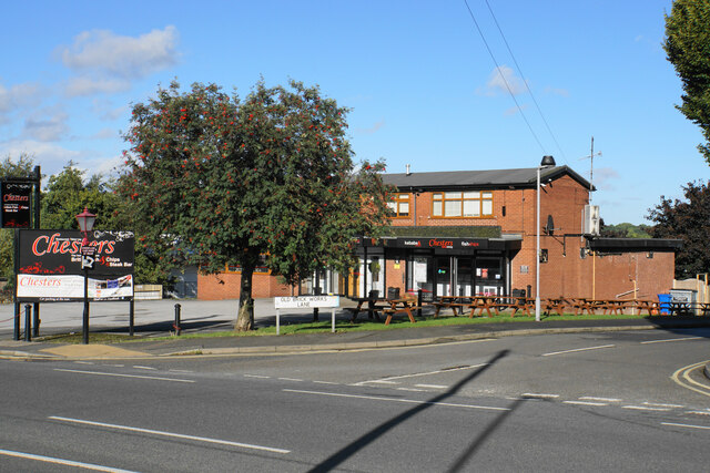
Chesterfield is a vibrant market town with a bustling center filled with shops, cafes, and pubs. The historic market, held three days a week, is one of the largest outdoor markets in the country, offering a range of goods and produce. The town also has a shopping center, The Pavements, which houses a variety of popular high street stores.
The local economy relies on a diverse range of industries, including retail, manufacturing, and services. Chesterfield is known for its thriving engineering and manufacturing sector, with several large companies operating in the area. The town also has a strong educational presence, with several schools and a further education college.
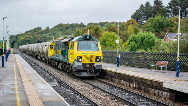
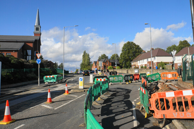
Chesterfield is well-connected by road and rail, with the M1 motorway passing nearby and regular train services to major cities like Sheffield and Nottingham. The town is surrounded by picturesque countryside, making it an attractive location for outdoor activities such as hiking and cycling.
Overall, Chesterfield offers a mix of history, culture, and modern amenities, making it an appealing place to live and visit.
If you have any feedback on the listing, please let us know in the comments section below.
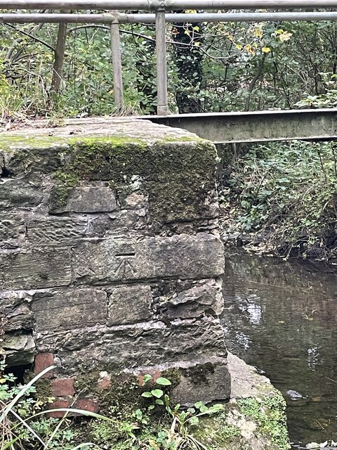
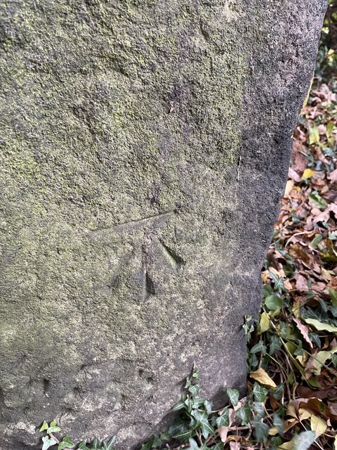
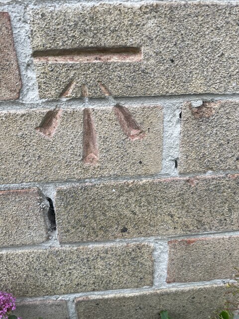
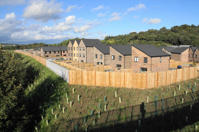
Chesterfield Images
Images are sourced within 2km of 53.23633/-1.4292058 or Grid Reference SK3871. Thanks to Geograph Open Source API. All images are credited.
Chesterfield is located at Grid Ref: SK3871 (Lat: 53.23633, Lng: -1.4292058)
Administrative County: Derbyshire
District: Chesterfield
Police Authority: Derbyshire
What 3 Words
///lace.raced.tigers. Near Chesterfield, Derbyshire
Nearby Locations
Related Wikis
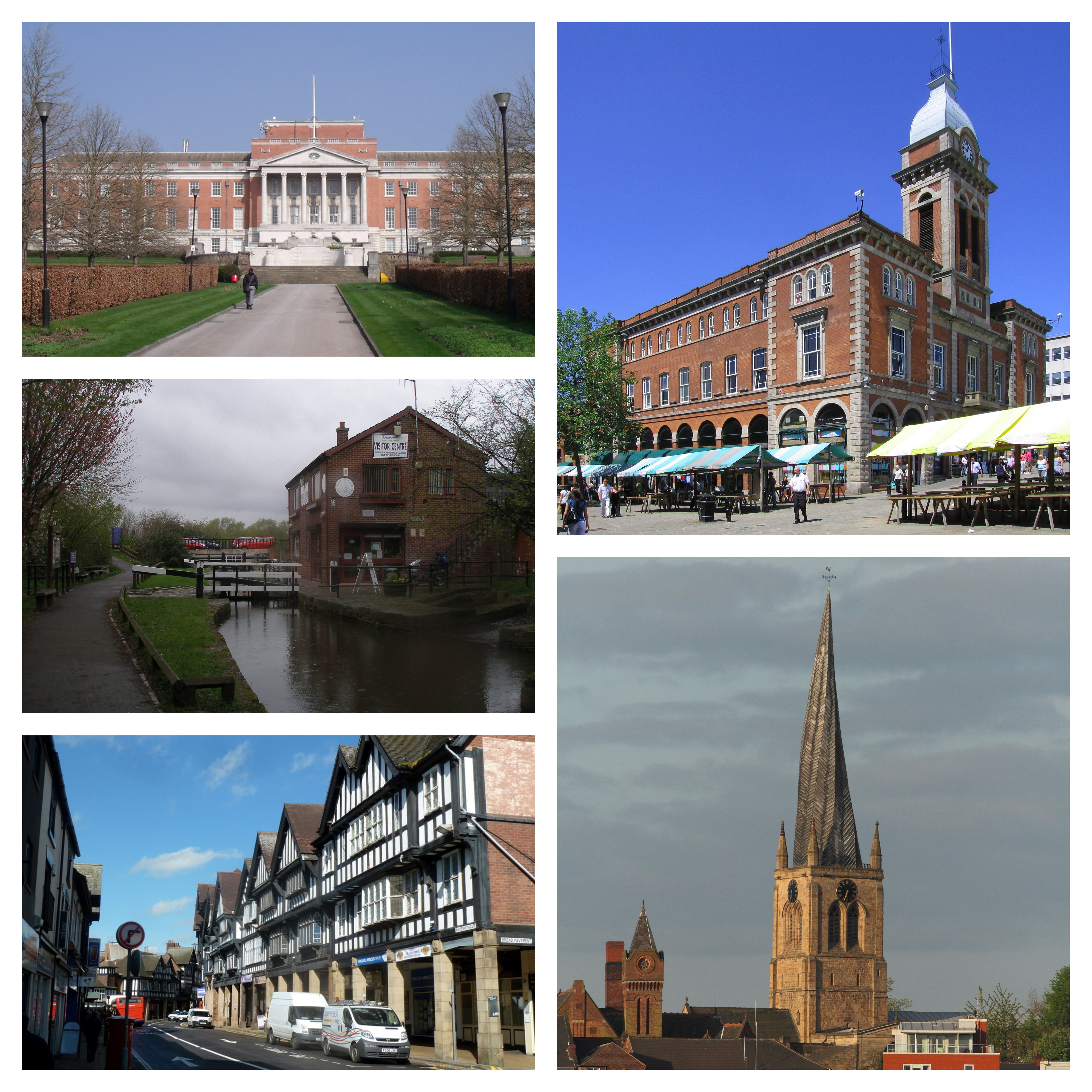
Chesterfield, Derbyshire
Chesterfield is a market town in the Borough of Chesterfield, Derbyshire, England. It is 24 miles (39 km) north of Derby and 11 miles (18 km) south of...

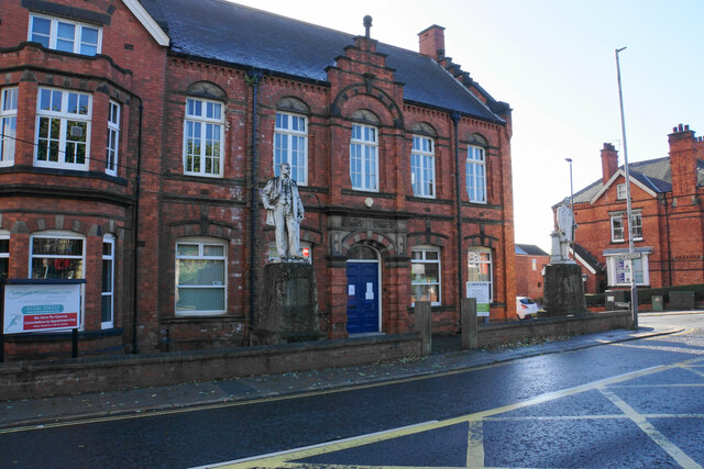
Chesterfield Town Hall
Chesterfield Town Hall is a municipal building on Rose Hill, Chesterfield, Derbyshire, England. It is a Grade II listed building. == History == An 18th...

Chesterfield Market Place railway station
Chesterfield Market Place railway station was a former railway station in the centre of the town of Chesterfield, Derbyshire, England. == Three stations... ==

Church of St Mary and All Saints, Chesterfield
Chesterfield Parish Church is an Anglican church dedicated to Saint Mary and All Saints, in Chesterfield, Derbyshire, England. Building of the church began...
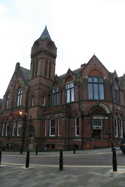
Chesterfield Museum and Art Gallery
Chesterfield Museum and Art Gallery is a local museum and art gallery in the town of Chesterfield, Derbyshire, England.The hall was named in honour of...

Annunciation Church, Chesterfield
Annunciation Church is a Roman Catholic Parish church in Chesterfield, Derbyshire. It was founded by the Society of Jesus in 1854. Located in Spencer Street...
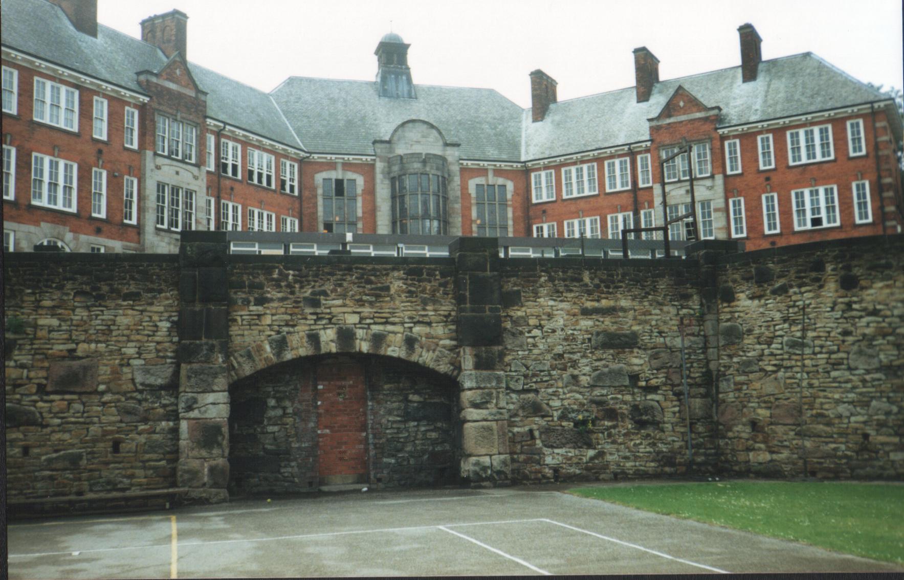
Chesterfield St Helena School
Chesterfield St Helena School, also known as Chesterfield Girls' Grammar School and St Helena School, Chesterfield, was an all-girls high school in Chesterfield...

Holy Trinity Church, Chesterfield
Holy Trinity Church, Chesterfield is a Grade II listed parish church in the Church of England in Chesterfield, Derbyshire. == History == The foundation...
Related Videos


CHESTERFIELD
We explore Chesterfield in Derbyshire, which is a town of great character. In this video we take a look around Chesterfield Town ...

Chesterfield, 🇬🇧England Walking Tour (dji osmo pocket)
Exploring the English market town Chesterfield in the Derbyshire county.

Nearby Amenities
Located within 500m of 53.23633,-1.4292058Have you been to Chesterfield?
Leave your review of Chesterfield below (or comments, questions and feedback).