Chesterfield
Settlement in Staffordshire Lichfield
England
Chesterfield
Chesterfield is a market town located in the county of Staffordshire, England. Situated on the eastern bank of the River Rother, it is approximately 24 miles north of Derby and 11 miles south of Sheffield. With a population of around 103,800, Chesterfield is the largest town in the borough of Chesterfield and serves as a major commercial and administrative center in the region.
The town is renowned for its iconic landmark, the crooked spire of the Church of St Mary and All Saints. This medieval church, dating back to the 14th century, attracts visitors from far and wide due to its peculiar twisted appearance. The town's rich history can also be explored at the Chesterfield Museum and Art Gallery, which showcases artifacts and exhibitions exploring the town's past.
Chesterfield boasts a vibrant market tradition, with a large open-air market taking place three times a week. Shoppers can find a wide range of fresh produce, clothing, antiques, and other goods. The Market Hall, situated in the town center, provides additional shopping opportunities with a variety of independent retailers and boutiques.
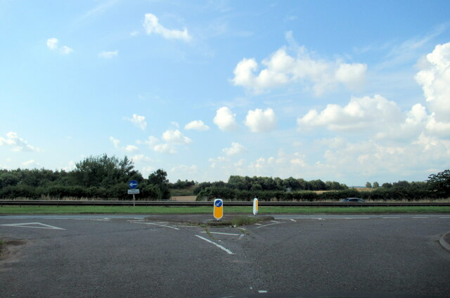
In terms of transport, Chesterfield benefits from excellent road and rail links. The town lies at the intersection of the A61 and A632 roads, providing convenient access to neighboring towns and cities. The railway station offers regular services to major cities including Sheffield, Derby, and Nottingham.
With its historical charm, bustling market, and convenient location, Chesterfield is a popular destination for both residents and visitors seeking to explore the heart of Staffordshire.
If you have any feedback on the listing, please let us know in the comments section below.
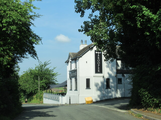
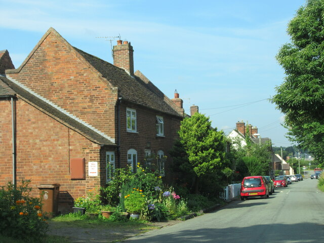
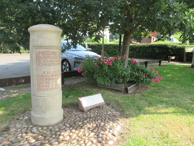
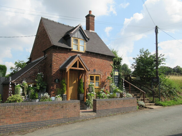
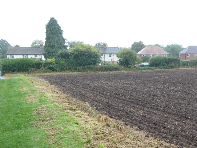
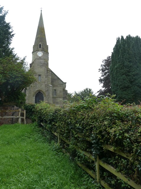
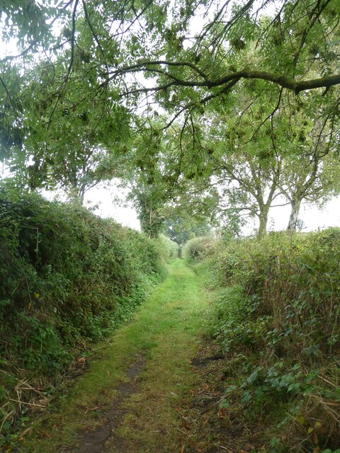
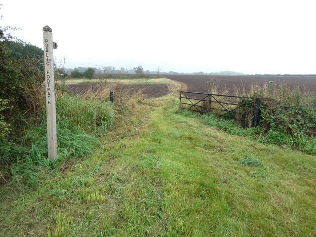
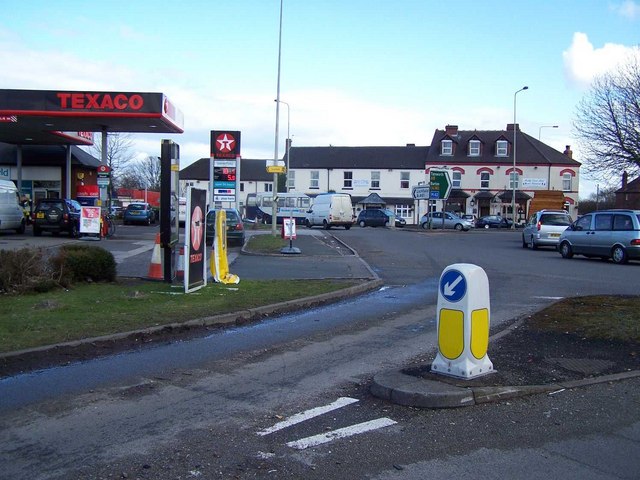
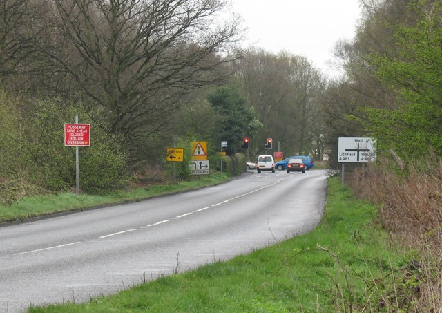
Chesterfield Images
Images are sourced within 2km of 52.649453/-1.849938 or Grid Reference SK1005. Thanks to Geograph Open Source API. All images are credited.


Chesterfield is located at Grid Ref: SK1005 (Lat: 52.649453, Lng: -1.849938)
Administrative County: Staffordshire
District: Lichfield
Police Authority: Staffordshire
What 3 Words
///dislodge.fairness.manuals. Near Shenstone, Staffordshire
Nearby Locations
Related Wikis

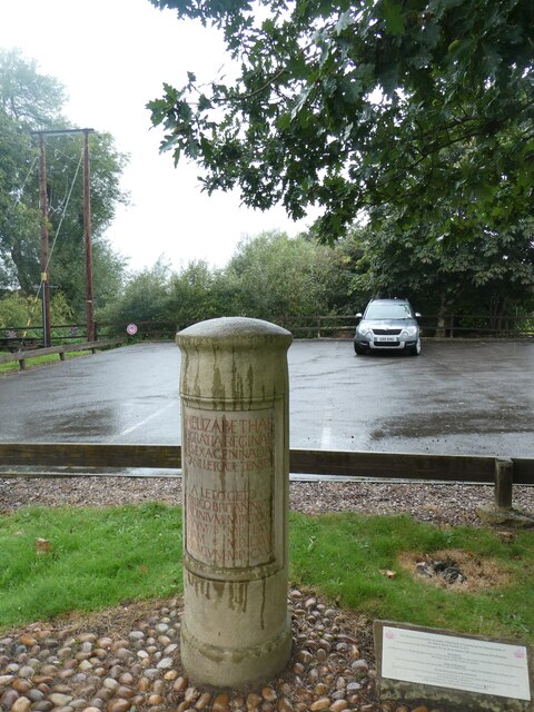
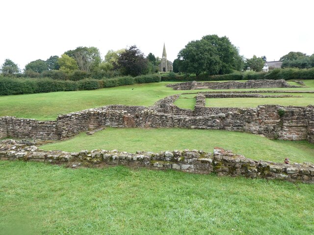
Letocetum
Letocetum is the ancient remains of a Roman settlement. It was an important military staging post and posting station near the junction of Watling Street...

Wall, Staffordshire
Wall is a small village and civil parish in Staffordshire, England, just south of Lichfield. It lies on the site of the Roman settlement of Letocetum....

Shenstone railway station
Shenstone railway station is a railway station on Station Road, in the village of Shenstone, in Staffordshire, England. It is situated on the Cross-City...
Shenstone, Staffordshire
Shenstone is a village and civil parish in The Lichfield District, Staffordshire, England, located between Lichfield and Sutton Coldfield. The parish also...

Lichfield Canal
The Lichfield Canal, as it is now known, was historically a part of the Wyrley and Essington Canal, being the section of that canal from Ogley Junction...
Muckley Corner
Muckley Corner is a small village and area of Hammerwich in Lichfield District of Staffordshire, England. The area is located on the A5 (Watling Street...
Pipehill
Pipehill is a hamlet and former civil parish, now in the parish of Hammerwich, in the Lichfield district, in the county of Staffordshire, England. It is...

Swinfen
Swinfen is a small community about two miles south of Lichfield in the civil parish of Swinfen and Packington, Staffordshire. Swinfen is referred to in...
Nearby Amenities
Located within 500m of 52.649453,-1.849938Have you been to Chesterfield?
Leave your review of Chesterfield below (or comments, questions and feedback).