Barnpool Wood
Wood, Forest in Cornwall
England
Barnpool Wood

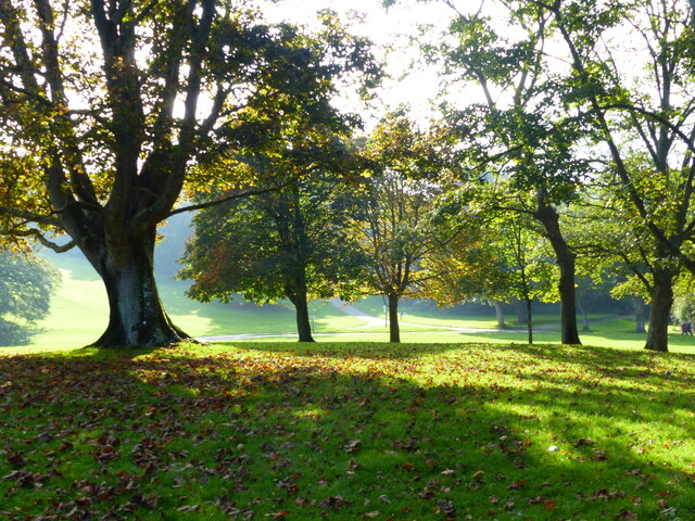
Barnpool Wood is a picturesque woodland located in Cornwall, England. Covering an area of approximately 100 acres, it is nestled near the coastal village of Millbrook and offers a tranquil escape from the hustle and bustle of daily life.
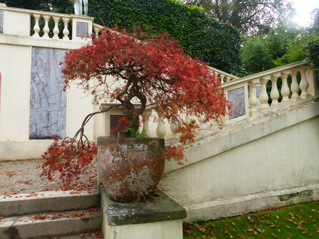
The woodland is predominantly made up of native broadleaf trees, including oak, beech, and ash, creating a rich and diverse habitat for various flora and fauna. The dense canopy provides a shaded and cool environment, especially during the summer months. Visitors can explore the network of well-maintained footpaths that wind through the wood, offering opportunities for leisurely walks, hiking, and birdwatching.
One of the highlights of Barnpool Wood is its vibrant wildlife. The woodland is home to a wide range of bird species, including woodpeckers, owls, and various songbirds. Additionally, visitors may spot small mammals such as squirrels, hedgehogs, and rabbits scurrying among the undergrowth. The wood is also known for its stunning displays of bluebells in the spring, transforming the forest floor into a sea of vibrant purple.
Barnpool Wood is a popular destination for nature enthusiasts and families alike. It offers numerous picnic areas and benches where visitors can relax and enjoy the peaceful surroundings. The wood is well-maintained by local conservation groups, ensuring its natural beauty remains preserved for future generations to enjoy.
If you have any feedback on the listing, please let us know in the comments section below.
Barnpool Wood Images
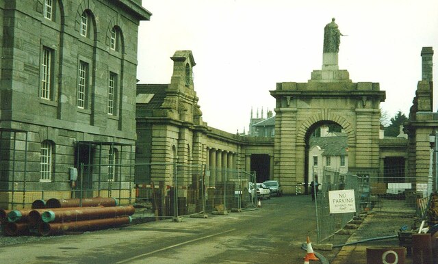
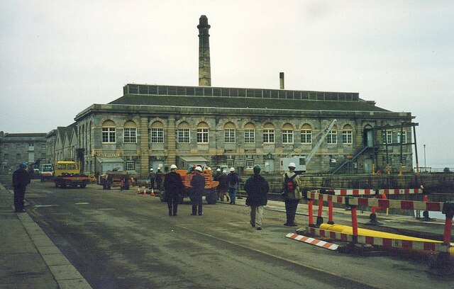
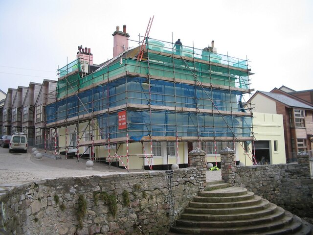
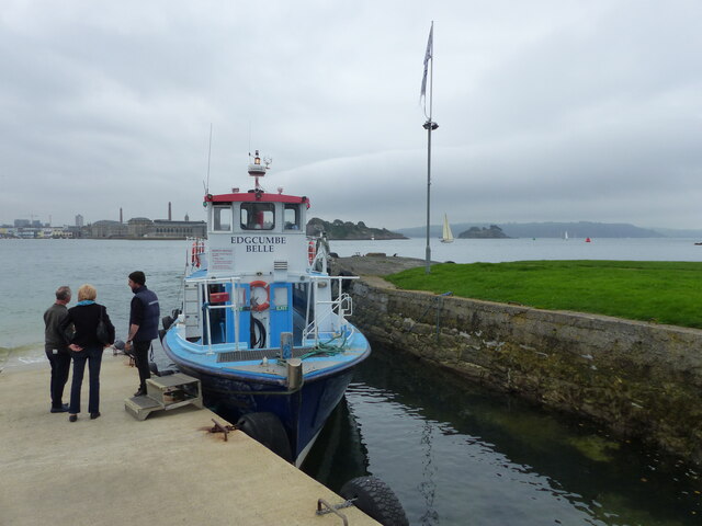
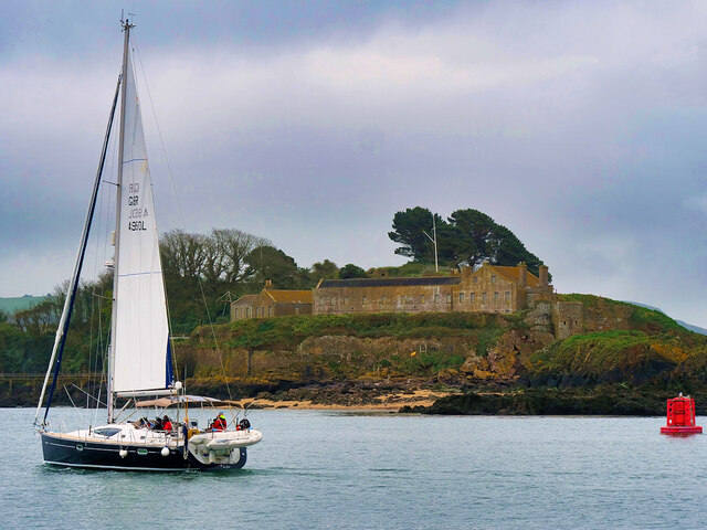
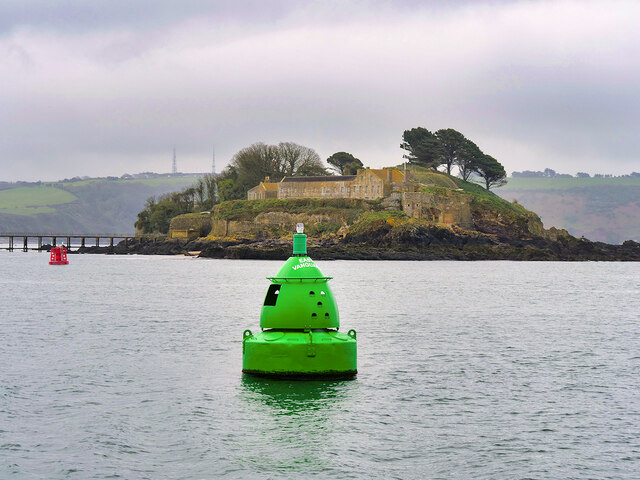
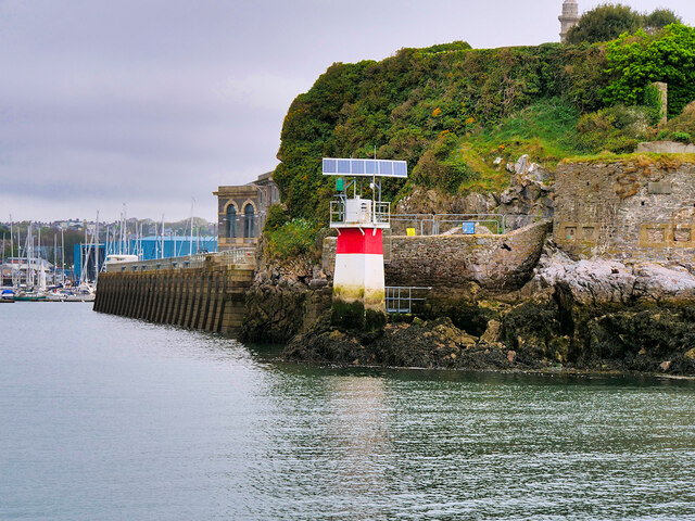
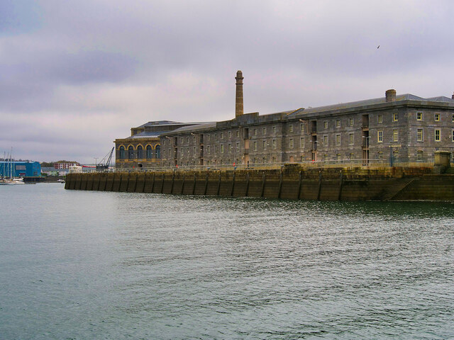
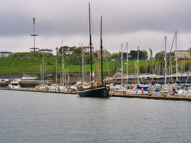
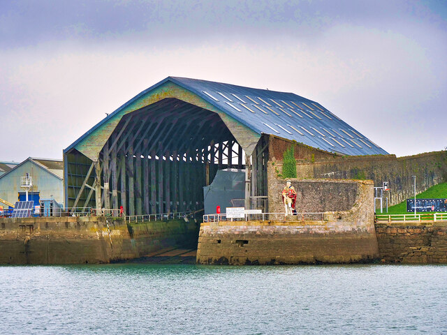
Images are sourced within 2km of 50.355486/-4.1737071 or Grid Reference SX4552. Thanks to Geograph Open Source API. All images are credited.


Barnpool Wood is located at Grid Ref: SX4552 (Lat: 50.355486, Lng: -4.1737071)
Unitary Authority: Cornwall
Police Authority: Devon and Cornwall
What 3 Words
///keeps.prone.grand. Near Torpoint, Cornwall
Related Wikis
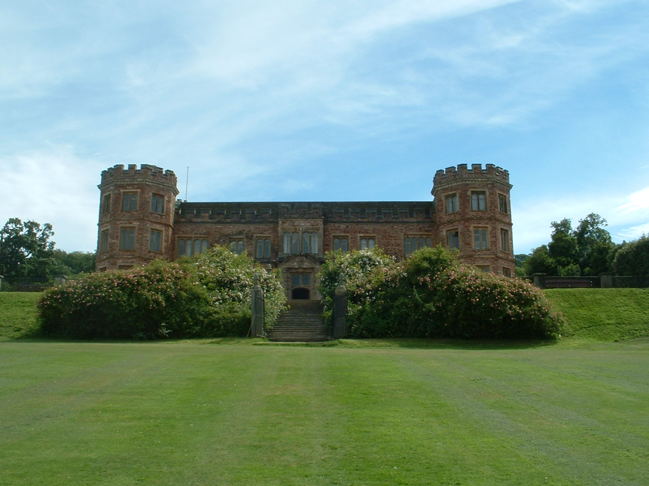
Mount Edgcumbe House
Mount Edgcumbe House is a stately home in south-east Cornwall and is a Grade II listed building, whilst its gardens and parkland are listed as Grade I...
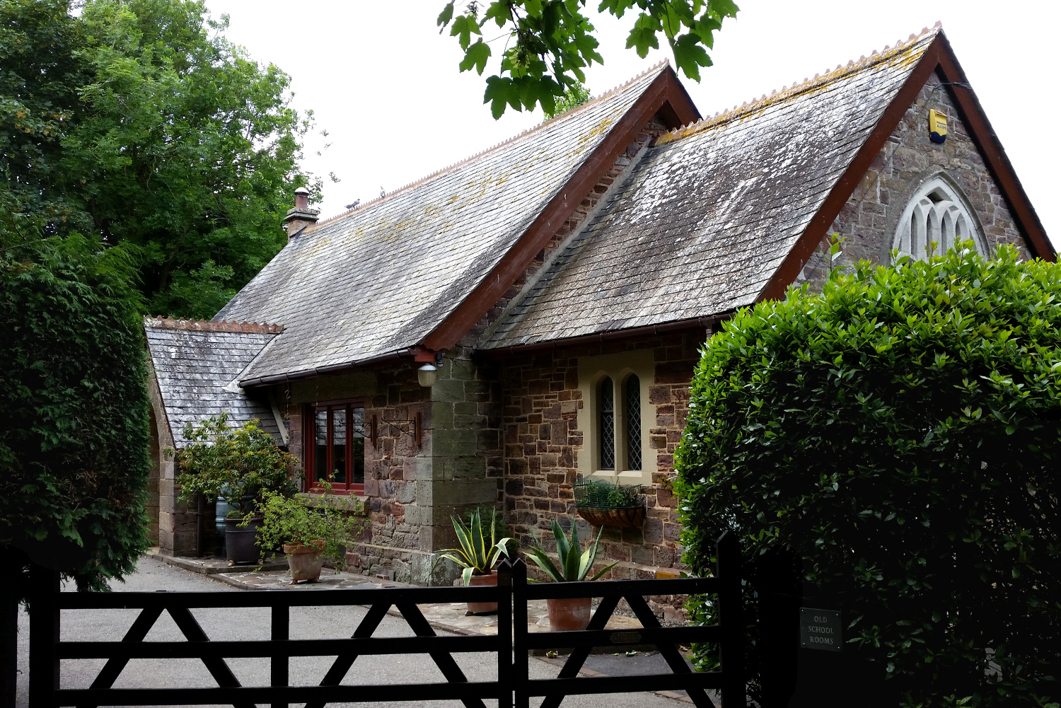
Cremyll School and Chapel
Cremyll School and Chapel is a former schoolroom and chapel in Cremyll, Cornwall, England. It was erected in 1867 and is now a private residence, known...

Cremyll
Cremyll (pronounced ) is a small coastal village in south-east Cornwall, England, United Kingdom. Cremyll is on the Rame Peninsula facing Plymouth Sound...

River Tamar
The Tamar (; Cornish: Dowr Tamar) is a river in south west England that forms most of the border between Devon (to the east) and Cornwall (to the west...
Nearby Amenities
Located within 500m of 50.355486,-4.1737071Have you been to Barnpool Wood?
Leave your review of Barnpool Wood below (or comments, questions and feedback).