Lower Deerhouse Plantation
Wood, Forest in Cornwall
England
Lower Deerhouse Plantation
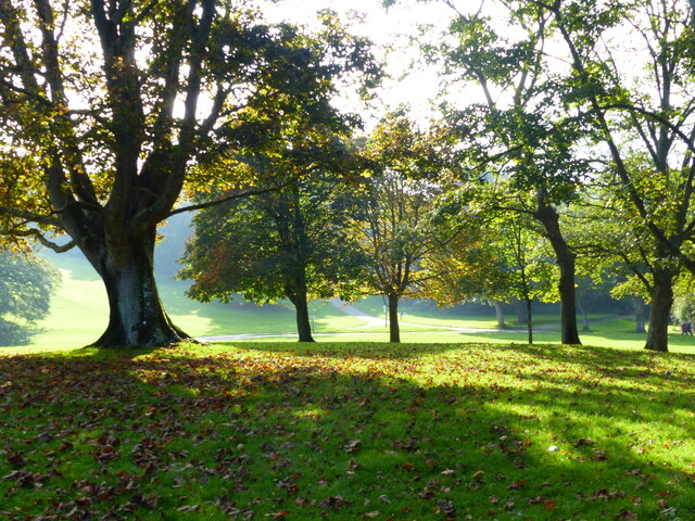
Lower Deerhouse Plantation is a sprawling woodland area located in Cornwall, England. Nestled amidst the picturesque countryside, this plantation spans across a vast area, covering several acres of dense forest and woodlands.
The plantation is named after the abundant deer population that roams freely within its boundaries. It is a haven for wildlife enthusiasts and nature lovers, offering a unique opportunity to observe various species in their natural habitat. Visitors can often spot majestic deer grazing peacefully, as well as a diverse range of bird species soaring through the sky.
The woodland itself is a mix of ancient trees and younger growth, creating a harmonious blend of old and new. Towering oak, beech, and chestnut trees dominate the landscape, providing a beautiful canopy of greenery that stretches as far as the eye can see. The forest floor is adorned with a carpet of ferns, moss, and wildflowers, adding to the enchanting atmosphere of the plantation.
Lower Deerhouse Plantation is not only a sanctuary for wildlife but also a popular destination for outdoor activities. It offers numerous walking trails, allowing visitors to explore the woodland at their own pace. These trails wind through the forest, leading to hidden gems such as tranquil streams and secluded picnic spots.
In addition to its natural beauty, the plantation also has historical significance. It is believed to have been a hunting ground for the local nobility in centuries past, and remnants of old structures and boundaries can still be found scattered throughout the woodland.
Overall, Lower Deerhouse Plantation is a captivating destination that offers a serene escape into the natural wonders of Cornwall.
If you have any feedback on the listing, please let us know in the comments section below.
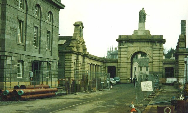
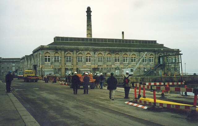
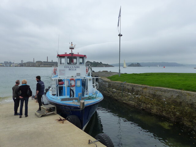
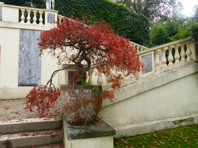
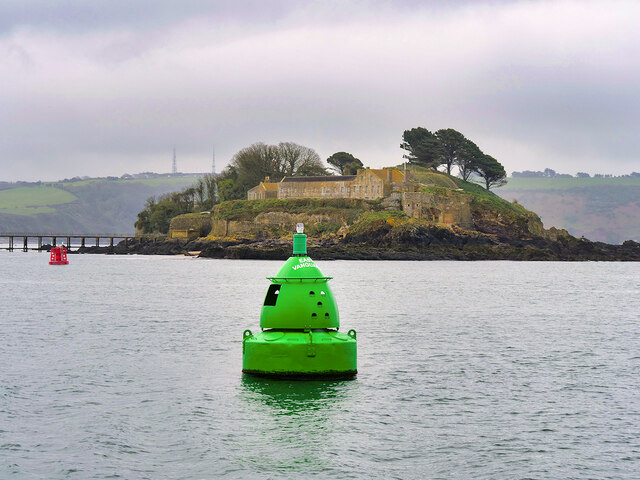
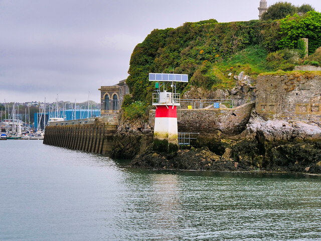
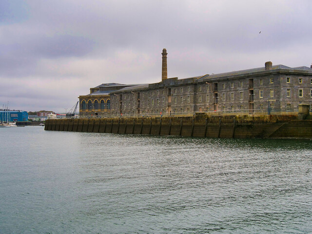
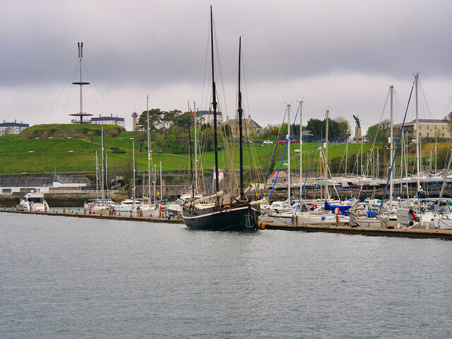
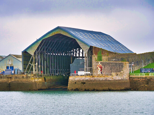
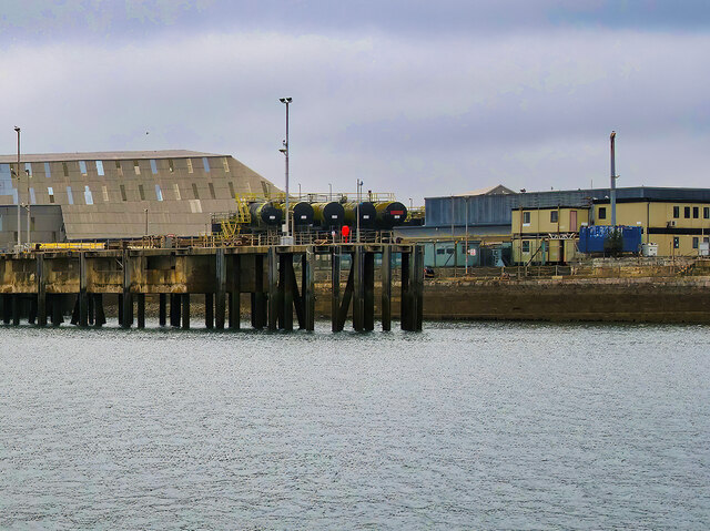
Lower Deerhouse Plantation Images
Images are sourced within 2km of 50.351789/-4.1775727 or Grid Reference SX4552. Thanks to Geograph Open Source API. All images are credited.


Lower Deerhouse Plantation is located at Grid Ref: SX4552 (Lat: 50.351789, Lng: -4.1775727)
Unitary Authority: Cornwall
Police Authority: Devon and Cornwall
What 3 Words
///modes.buddy.vines. Near Torpoint, Cornwall
Related Wikis
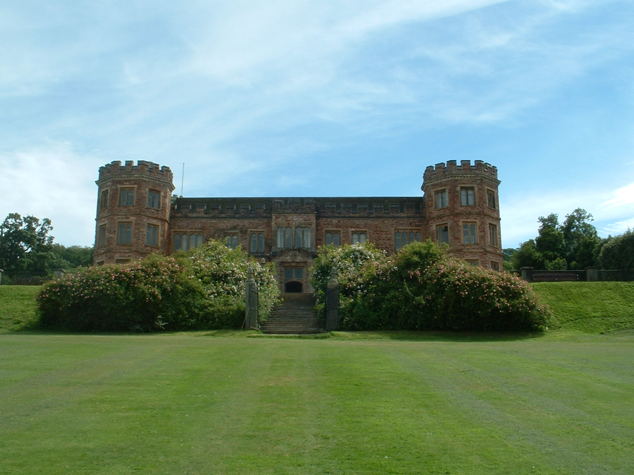
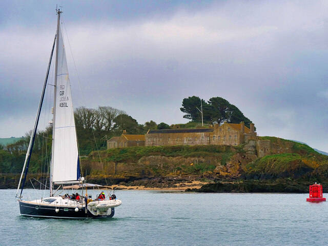
Mount Edgcumbe House
Mount Edgcumbe House is a stately home in south-east Cornwall and is a Grade II listed building, whilst its gardens and parkland are listed as Grade I...

St Mary's and St Julian's Church, Maker
St Mary's and St Julian's Church is a Church of England parish church in Maker, Cornwall, England, UK. The church dates to the 15th century and has been...
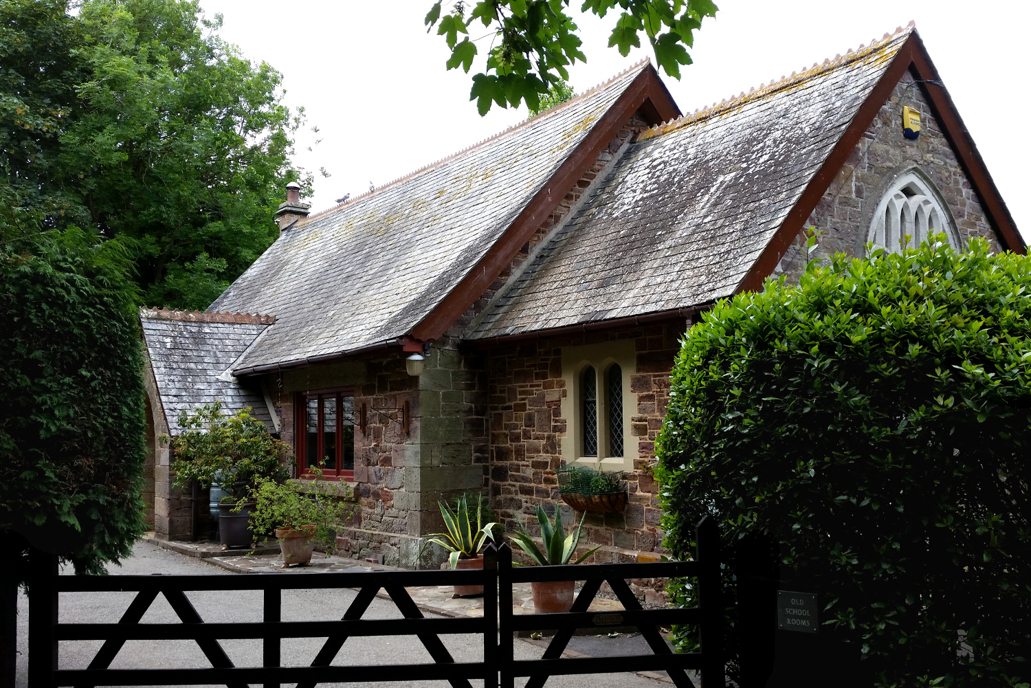
Cremyll School and Chapel
Cremyll School and Chapel is a former schoolroom and chapel in Cremyll, Cornwall, England. It was erected in 1867 and is now a private residence, known...

Cremyll
Cremyll (pronounced ) is a small coastal village in south-east Cornwall, England, United Kingdom. Cremyll is on the Rame Peninsula facing Plymouth Sound...
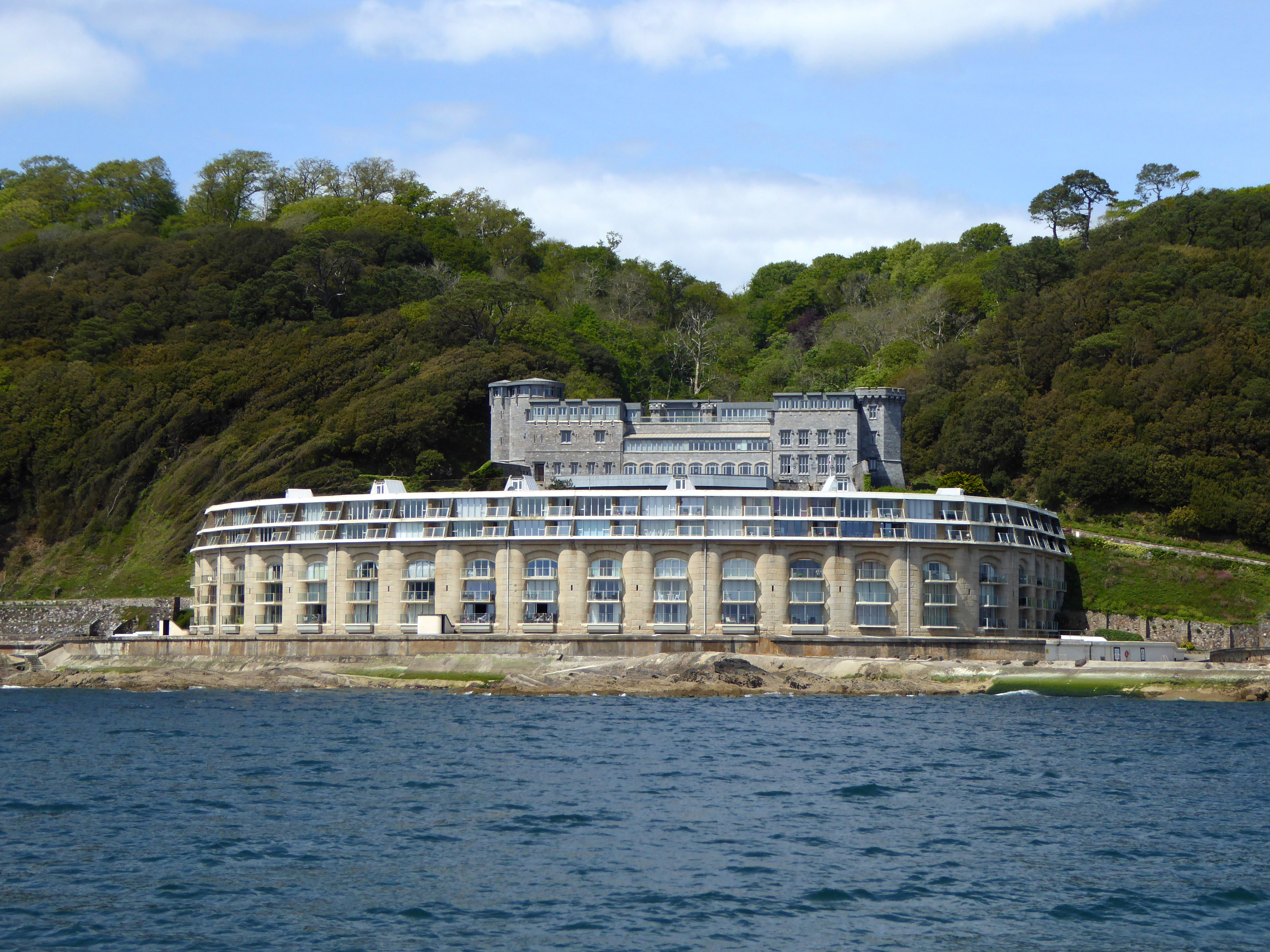
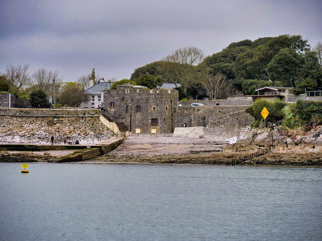
Picklecombe Fort
Fort Picklecombe stands on the extreme south eastern coast of Cornwall, a couple of miles west of the city of Plymouth. The fort has been a residential...

River Tamar
The Tamar (; Cornish: Dowr Tamar) is a river in south west England that forms most of the border between Devon (to the east) and Cornwall (to the west...

Maker, Cornwall
Maker (Cornish: Magor) is a village between Cawsand and Rame Head, Rame Peninsula, Cornwall, England, United Kingdom. The name means a ruin or old wall...

Western King's Redoubt
The Western King's Redoubt is an 18th and 19th-century artillery battery in Plymouth, Devonshire, England, upgraded as a result of the Royal Commission...
Nearby Amenities
Located within 500m of 50.351789,-4.1775727Have you been to Lower Deerhouse Plantation?
Leave your review of Lower Deerhouse Plantation below (or comments, questions and feedback).