Oak Plantation
Wood, Forest in Cornwall
England
Oak Plantation
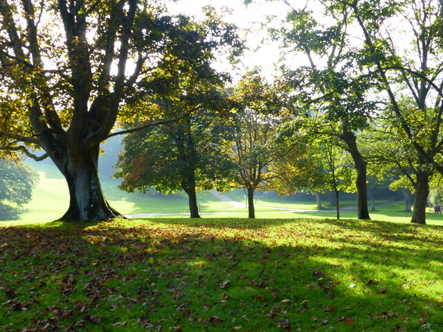
Oak Plantation is a picturesque woodland located in Cornwall, England. Spanning over a vast area, this stunning forest is renowned for its dense groves of majestic oak trees, which give the plantation its name. The woodland is situated in a rural setting, surrounded by rolling hills and scattered with vibrant wildflowers, creating a tranquil and enchanting atmosphere.
The oak trees within the plantation are a prominent feature, towering above visitors and providing a sense of awe and majesty. These ancient trees are known for their longevity, with some dating back hundreds of years. The woodland floor is covered in a thick carpet of fallen leaves, adding to the magical ambiance and providing a haven for a diverse range of flora and fauna.
Oak Plantation offers various walking trails and footpaths, allowing visitors to explore its captivating beauty. The trails meander through the forest, taking visitors on a journey through different sections of the woodland. Along the way, nature enthusiasts can spot a plethora of wildlife, including deer, squirrels, and a wide array of bird species.
The plantation is a popular destination for nature lovers, photographers, and those seeking a peaceful retreat. It offers an escape from the hustle and bustle of daily life, providing an opportunity to reconnect with nature and enjoy the serenity of the forest.
In conclusion, Oak Plantation in Cornwall is a magnificent woodland sanctuary, abundant with ancient oak trees and teeming with wildlife. Its breathtaking beauty and tranquil ambiance make it a must-visit destination for anyone seeking solace in the embrace of nature.
If you have any feedback on the listing, please let us know in the comments section below.
Oak Plantation Images
Images are sourced within 2km of 50.350377/-4.1771004 or Grid Reference SX4552. Thanks to Geograph Open Source API. All images are credited.


Oak Plantation is located at Grid Ref: SX4552 (Lat: 50.350377, Lng: -4.1771004)
Unitary Authority: Cornwall
Police Authority: Devon and Cornwall
What 3 Words
///faded.could.deal. Near Millbrook, Cornwall
Related Wikis
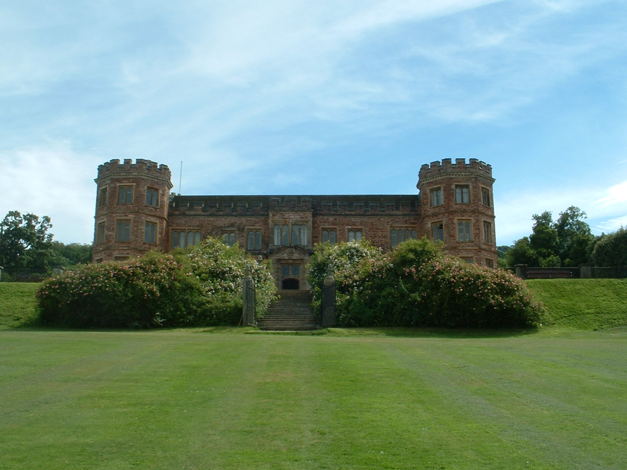
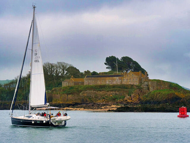
Mount Edgcumbe House
Mount Edgcumbe House is a stately home in south-east Cornwall and is a Grade II listed building, whilst its gardens and parkland are listed as Grade I...

St Mary's and St Julian's Church, Maker
St Mary's and St Julian's Church is a Church of England parish church in Maker, Cornwall, England, UK. The church dates to the 15th century and has been...
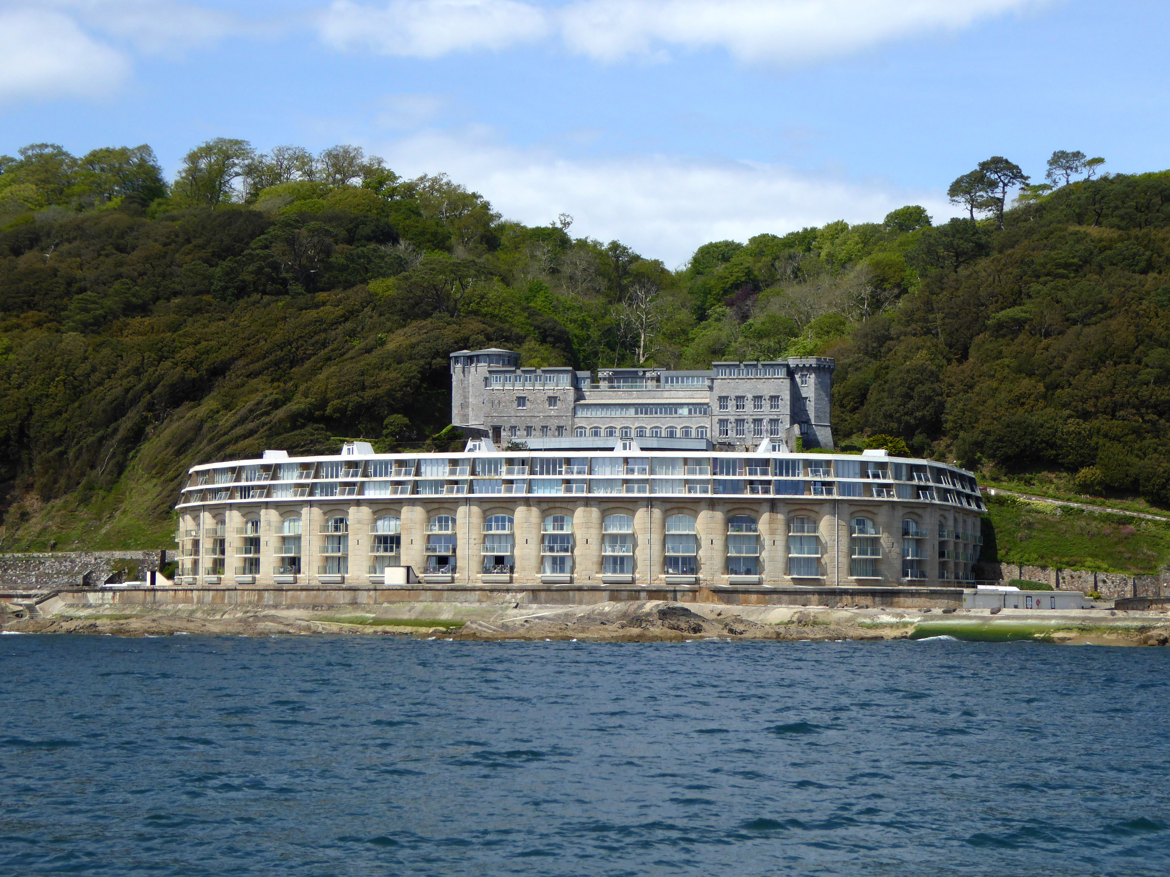
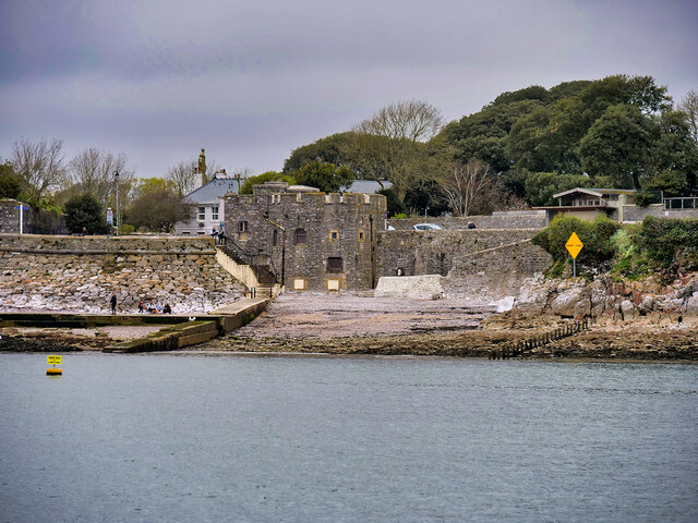
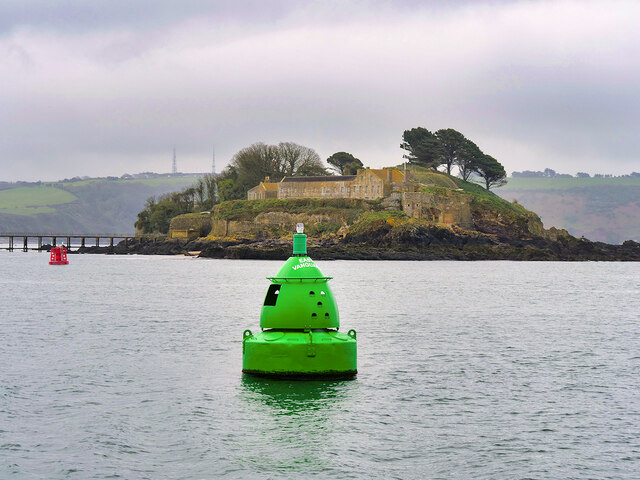
Picklecombe Fort
Fort Picklecombe stands on the extreme south eastern coast of Cornwall, a couple of miles west of the city of Plymouth. The fort has been a residential...
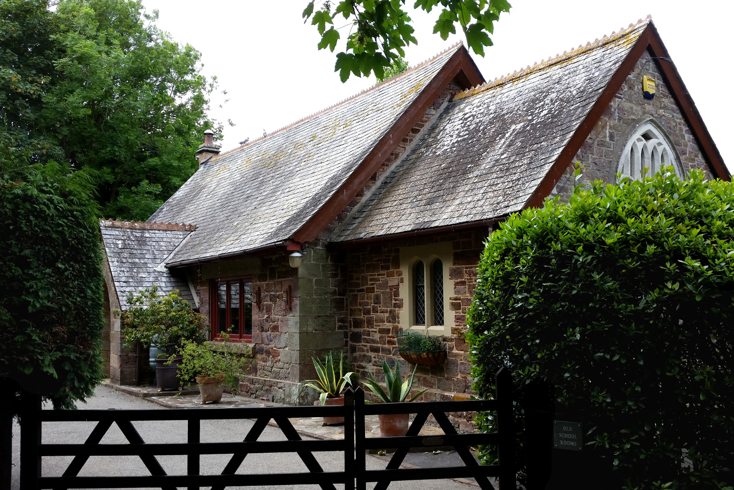
Cremyll School and Chapel
Cremyll School and Chapel is a former schoolroom and chapel in Cremyll, Cornwall, England. It was erected in 1867 and is now a private residence, known...
Nearby Amenities
Located within 500m of 50.350377,-4.1771004Have you been to Oak Plantation?
Leave your review of Oak Plantation below (or comments, questions and feedback).