Barn Pool
Sea, Estuary, Creek in Cornwall
England
Barn Pool

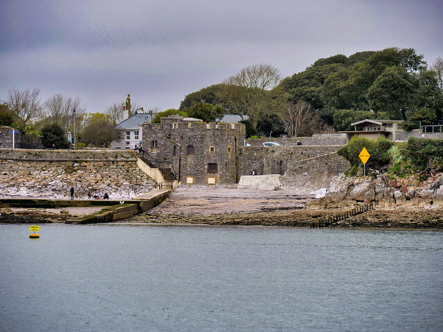
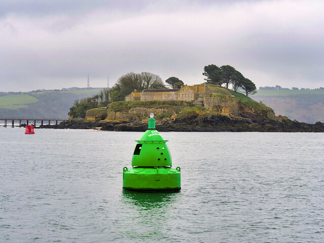
Barn Pool is a picturesque coastal area located in Cornwall, England. It is situated near the town of Falmouth and is renowned for its stunning sea views, estuary, and creek.
The area is characterized by its crystal-clear turquoise waters, which are perfect for swimming, snorkeling, and other water activities. The sea at Barn Pool is known for its calm and tranquil nature, making it a popular spot for families and those seeking relaxation. The sandy beach provides a comfortable area for sunbathing and picnicking, while the gentle waves offer a soothing atmosphere.
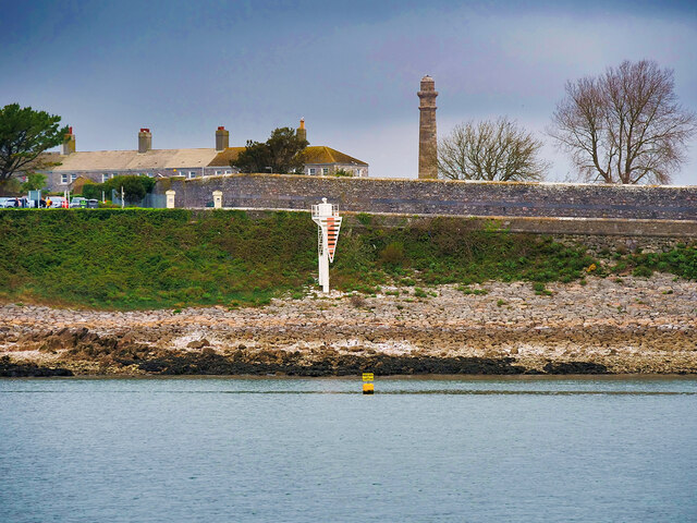
Barn Pool is also home to a beautiful estuary, where the freshwater from nearby rivers meets the saltwater of the sea. This unique blend of water creates a diverse ecosystem that is rich in marine life. Visitors can often spot a variety of birds, fish, and other aquatic creatures in this estuary, making it a haven for nature enthusiasts and birdwatchers.
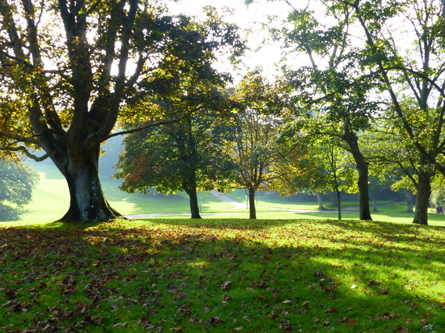
Additionally, the area is dotted with small creeks, adding to its natural beauty. These creeks are ideal for exploring by kayak or paddleboard, allowing visitors to immerse themselves in the tranquil surroundings and observe the local wildlife up close.
Overall, Barn Pool in Cornwall offers a serene and scenic coastal experience, combining the beauty of the sea, estuary, and creeks. It is a popular destination for outdoor enthusiasts, families, and those looking to escape the hustle and bustle of city life.
If you have any feedback on the listing, please let us know in the comments section below.
Barn Pool Images
Images are sourced within 2km of 50.355546/-4.1705044 or Grid Reference SX4552. Thanks to Geograph Open Source API. All images are credited.


Barn Pool is located at Grid Ref: SX4552 (Lat: 50.355546, Lng: -4.1705044)
Unitary Authority: Cornwall
Police Authority: Devon and Cornwall
What 3 Words
///forget.certified.years. Near Plymouth, Devon
Related Wikis
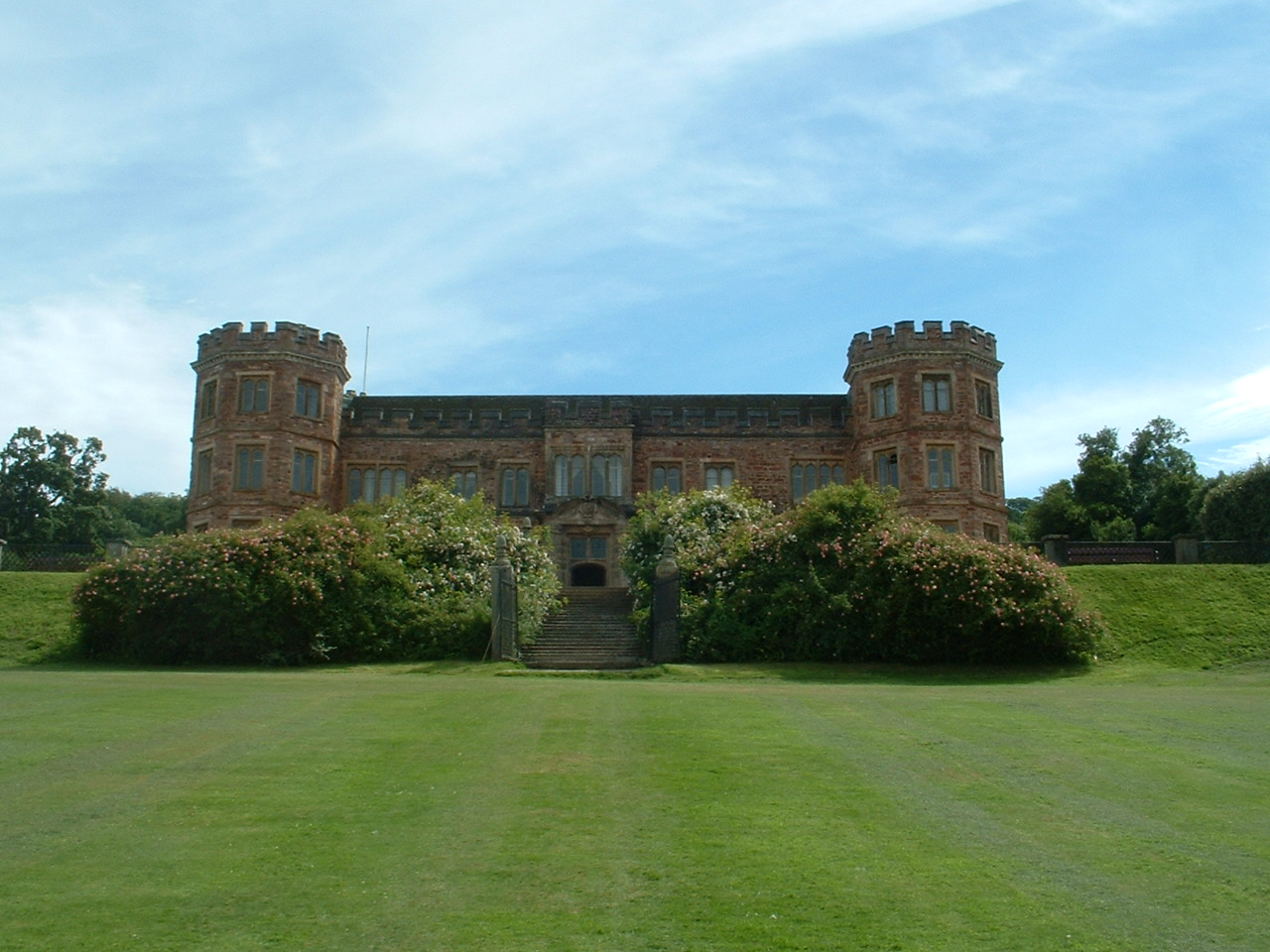
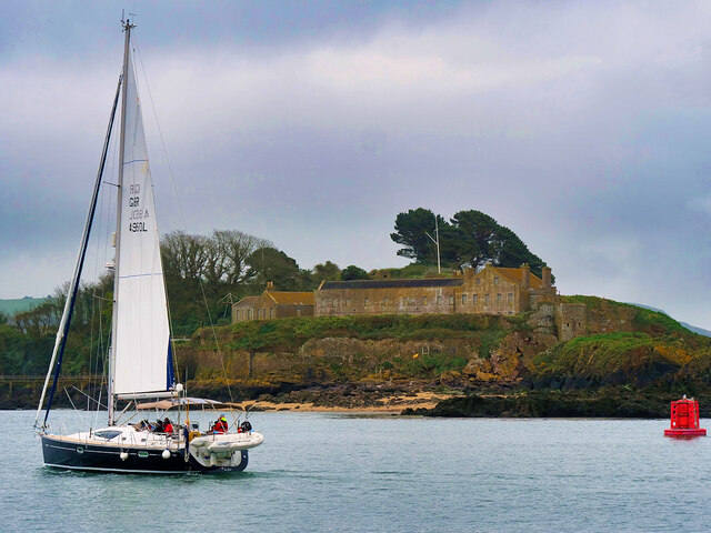
Mount Edgcumbe House
Mount Edgcumbe House is a stately home in south-east Cornwall and is a Grade II listed building, whilst its gardens and parkland are listed as Grade I...

River Tamar
The Tamar (; Cornish: Dowr Tamar) is a river in south west England that forms most of the border between Devon (to the east) and Cornwall (to the west...

Western King's Redoubt
The Western King's Redoubt is an 18th and 19th-century artillery battery in Plymouth, Devonshire, England, upgraded as a result of the Royal Commission...
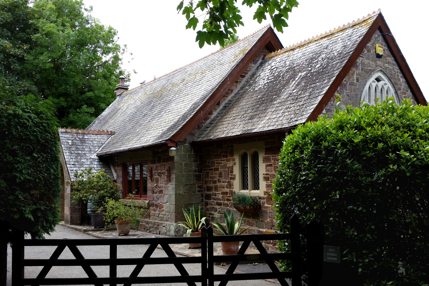
Cremyll School and Chapel
Cremyll School and Chapel is a former schoolroom and chapel in Cremyll, Cornwall, England. It was erected in 1867 and is now a private residence, known...
Nearby Amenities
Located within 500m of 50.355546,-4.1705044Have you been to Barn Pool?
Leave your review of Barn Pool below (or comments, questions and feedback).