Ravenness Point
Coastal Marsh, Saltings in Cornwall
England
Ravenness Point

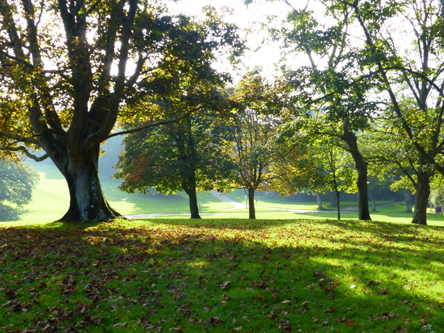
Ravenness Point is a stunning coastal marsh and saltings located in Cornwall, England. Situated on the southern coast, it is a popular destination for nature enthusiasts and birdwatchers alike. The area is known for its diverse ecosystem and rich biodiversity.
Covering an expansive stretch of land, Ravenness Point is characterized by its marshy terrain and extensive salt marshes, which are inundated by the tides. These marshes provide a unique habitat for a wide range of plant and animal species. The salt marsh plants, such as samphire and sea lavender, thrive in the brackish water and create a vibrant display of colors.
The area is particularly renowned for its birdlife. It serves as a vital breeding ground and nesting site for numerous species, including the iconic redshank, curlew, and avocet. The marshes also attract migratory birds during the winter months, making it a haven for birdwatchers who flock to the area to observe these fascinating creatures.
In addition to its ecological importance, Ravenness Point offers breathtaking views of the surrounding coastline. The rugged cliffs and crashing waves create a dramatic backdrop, perfect for photographers and nature enthusiasts seeking to capture the beauty of the area.
Access to Ravenness Point is facilitated by well-maintained footpaths and trails, allowing visitors to explore the marshes and enjoy the tranquility of the surroundings. The area is managed by local conservation organizations to ensure the preservation of its natural heritage.
Overall, Ravenness Point in Cornwall is a haven for nature lovers, offering a unique and diverse ecosystem that showcases the beauty and significance of coastal marshes and saltings.
If you have any feedback on the listing, please let us know in the comments section below.
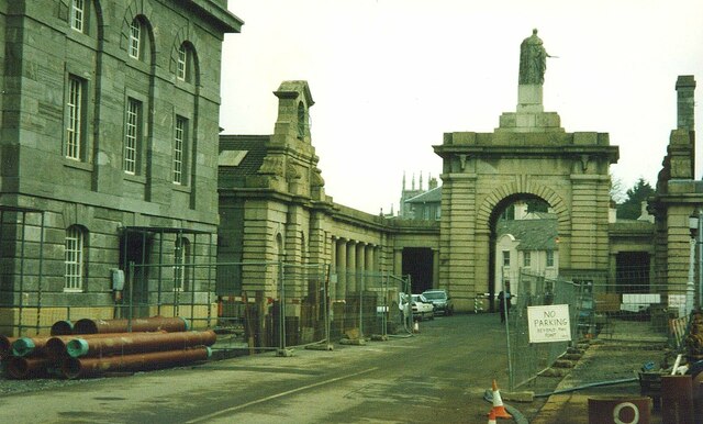
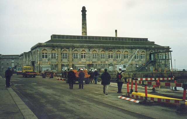
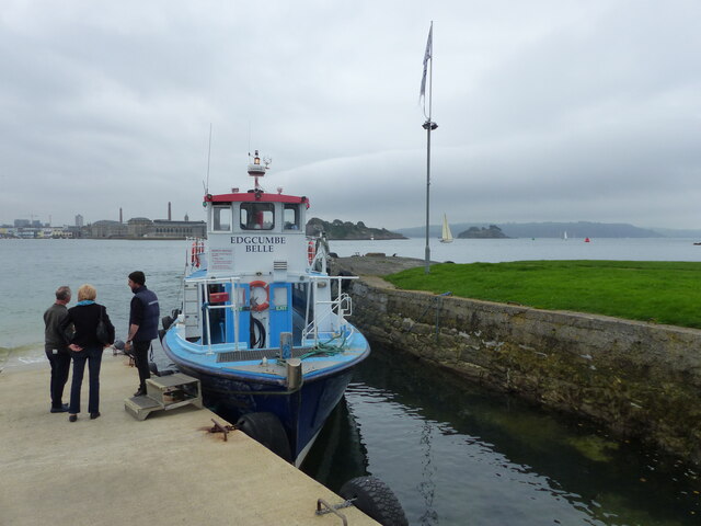
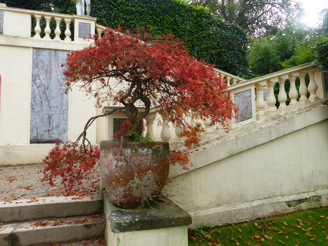
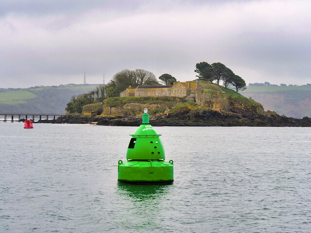
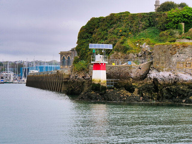
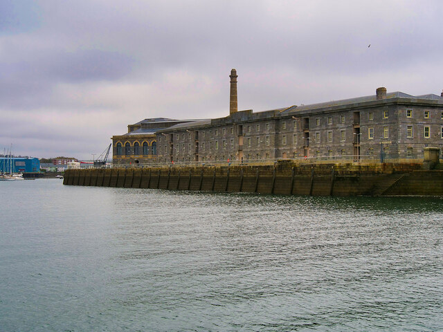
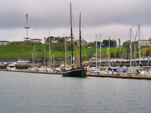
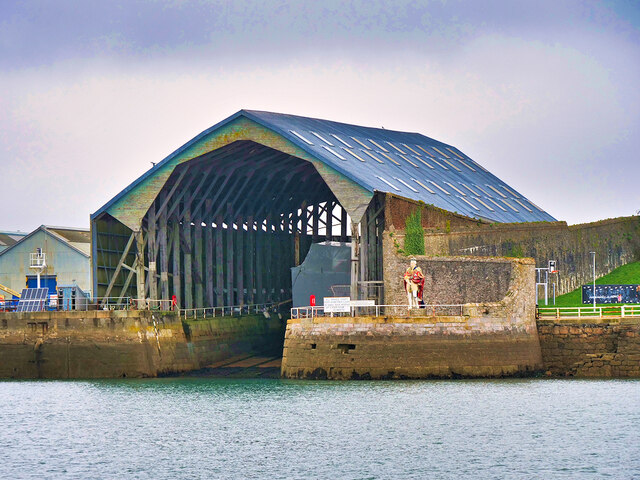
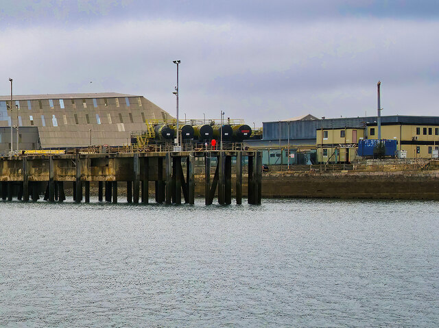
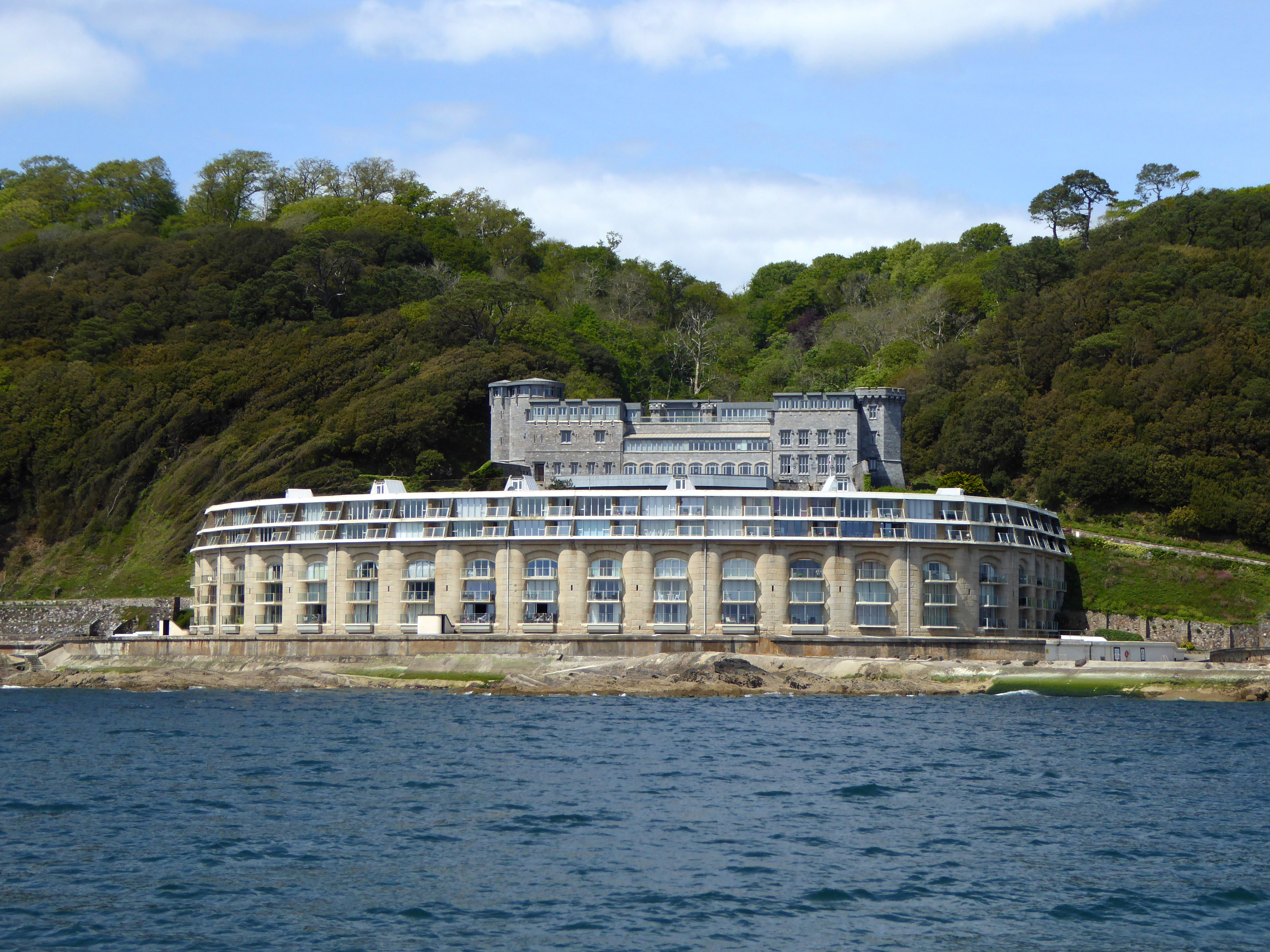
Ravenness Point Images
Images are sourced within 2km of 50.351177/-4.1665096 or Grid Reference SX4552. Thanks to Geograph Open Source API. All images are credited.


Ravenness Point is located at Grid Ref: SX4552 (Lat: 50.351177, Lng: -4.1665096)
Unitary Authority: Cornwall
Police Authority: Devon and Cornwall
What 3 Words
///them.sunset.casino. Near Plymouth, Devon
Related Wikis
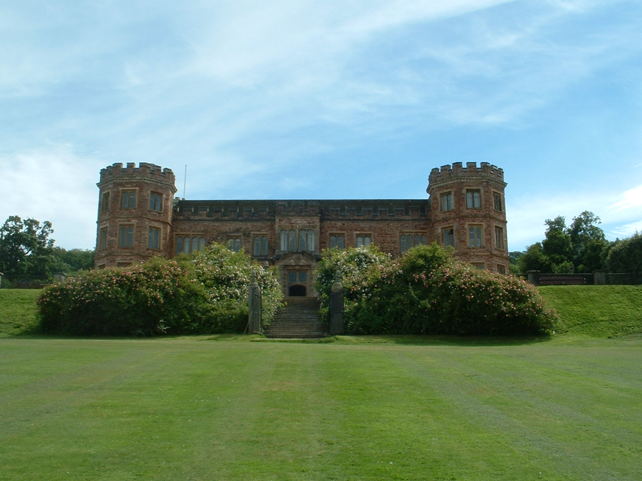
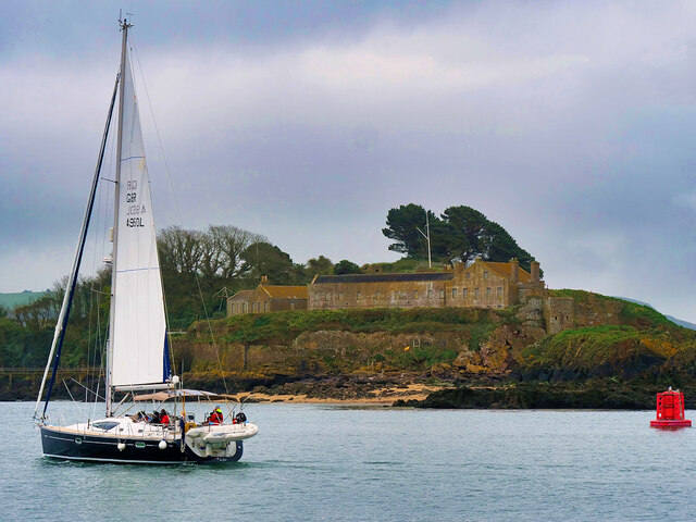
Mount Edgcumbe House
Mount Edgcumbe House is a stately home in south-east Cornwall and is a Grade II listed building, whilst its gardens and parkland are listed as Grade I...

River Tamar
The Tamar (; Cornish: Dowr Tamar) is a river in south west England that forms most of the border between Devon (to the east) and Cornwall (to the west...
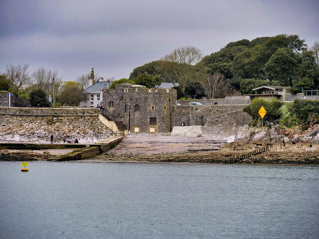
Picklecombe Fort
Fort Picklecombe stands on the extreme south eastern coast of Cornwall, a couple of miles west of the city of Plymouth. The fort has been a residential...

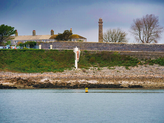
Western King's Redoubt
The Western King's Redoubt is an 18th and 19th-century artillery battery in Plymouth, Devonshire, England, upgraded as a result of the Royal Commission...
Nearby Amenities
Located within 500m of 50.351177,-4.1665096Have you been to Ravenness Point?
Leave your review of Ravenness Point below (or comments, questions and feedback).