The Raven's Cliffs
Cliff, Slope in Cornwall
England
The Raven's Cliffs

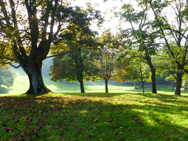
The Raven's Cliffs, located in Cornwall, England, is a stunning natural formation that captivates visitors with its dramatic beauty and breathtaking views. Situated along the rugged coastline, this cliff and slope combination offers a unique experience for nature enthusiasts and adventurers alike.
The cliffs, made primarily of granite, rise steeply from the crashing waves below, reaching heights of up to 300 feet. Their sheer vertical faces create an awe-inspiring sight, with layers of different colored rocks exposed over time, showcasing the area's geological history. The cliffs are adorned with various vegetation, including hardy grasses and wildflowers that add a touch of vibrant color to the rugged landscape.
At the base of the cliffs, a sloping terrain leads visitors to the beach, providing an opportunity to explore the rock pools and observe marine life. The slope, covered in coarse sand and small pebbles, offers a challenging yet exhilarating descent for those seeking an adrenaline rush. It is important to note that caution should be exercised when navigating the slope, as its steepness can make it slippery and treacherous.
The Raven's Cliffs also offer an unparalleled vantage point for birdwatching enthusiasts. The area is home to a diverse array of seabirds, including ravens, gulls, and cormorants. Their aerial displays and distinctive calls enhance the overall experience, making it a haven for ornithology enthusiasts.
Overall, The Raven's Cliffs in Cornwall provide a mesmerizing combination of towering cliffs, a challenging slope, and abundant wildlife. Whether it's exploring the geological wonders, embarking on an adrenaline-fueled adventure, or simply immersing oneself in the beauty of nature, this natural marvel promises an unforgettable experience for all who visit.
If you have any feedback on the listing, please let us know in the comments section below.
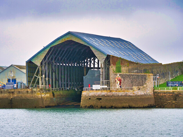
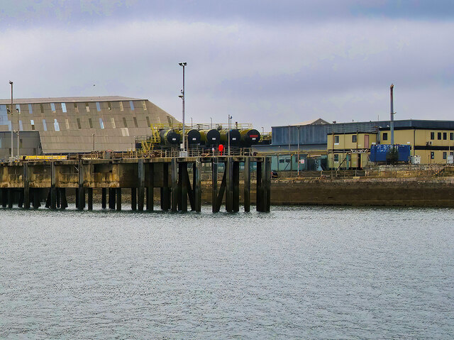
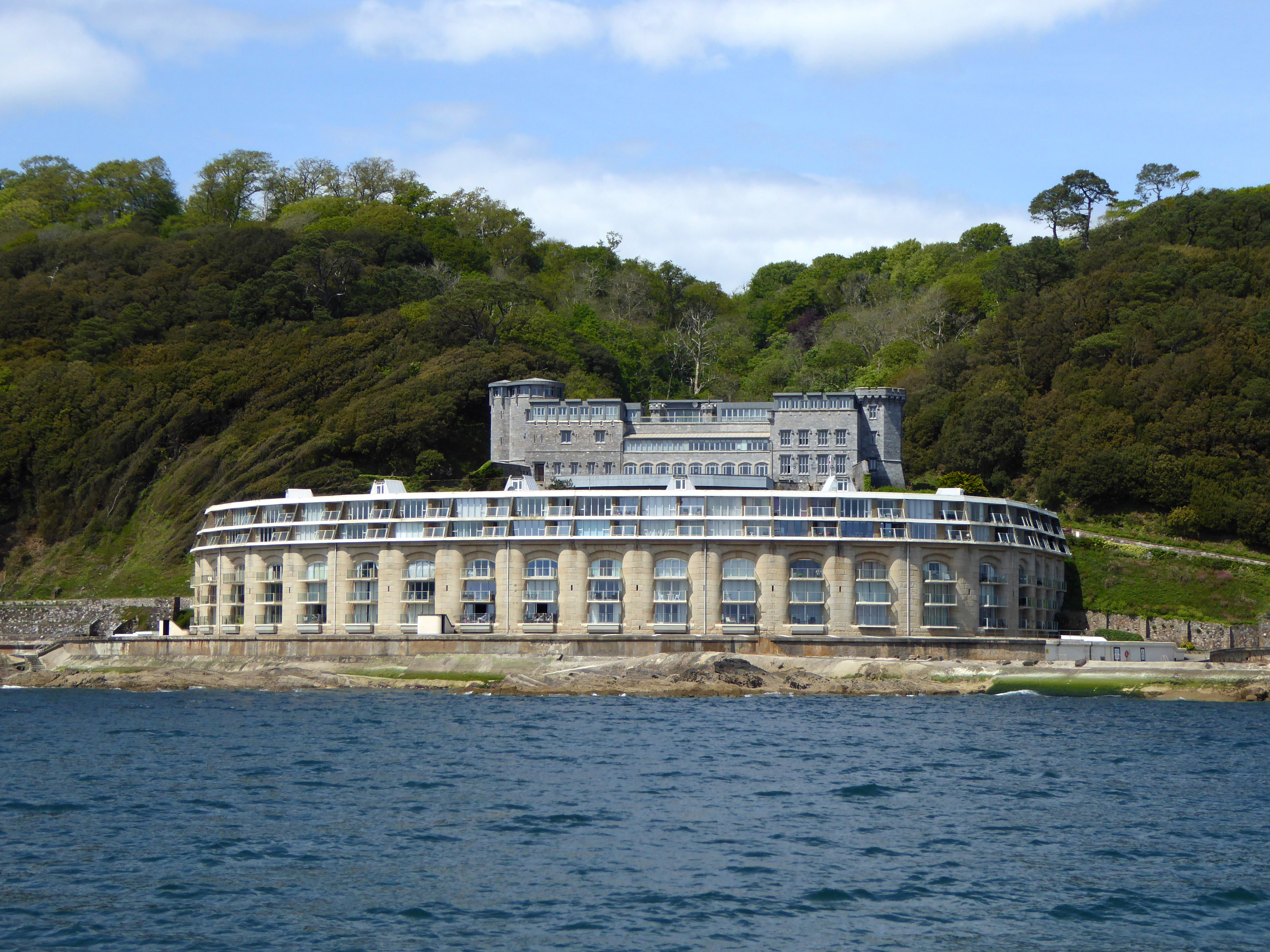
The Raven's Cliffs Images
Images are sourced within 2km of 50.352368/-4.1682226 or Grid Reference SX4552. Thanks to Geograph Open Source API. All images are credited.


The Raven's Cliffs is located at Grid Ref: SX4552 (Lat: 50.352368, Lng: -4.1682226)
Unitary Authority: Cornwall
Police Authority: Devon and Cornwall
What 3 Words
///join.critic.basket. Near Plymouth, Devon
Related Wikis
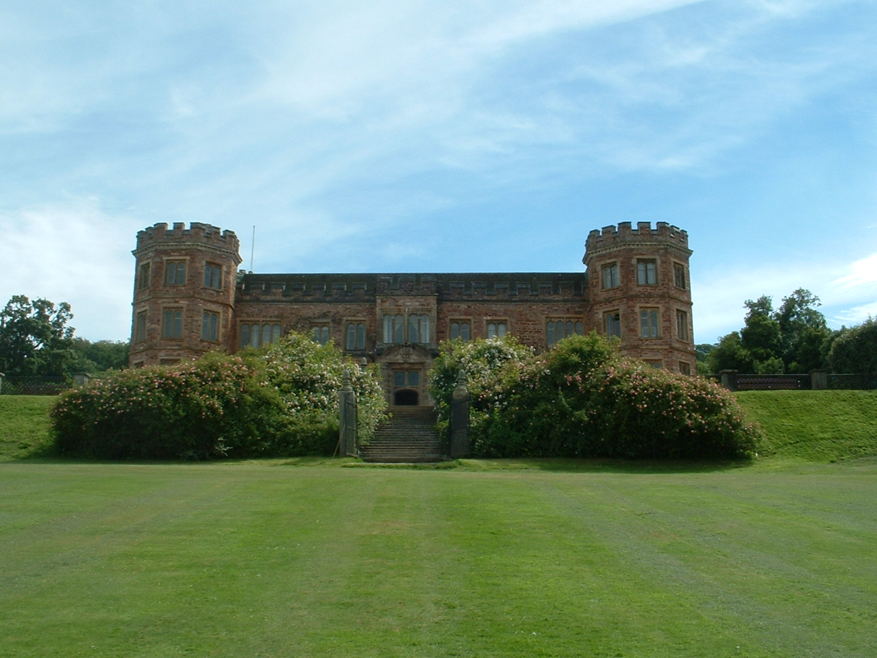
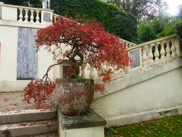
Mount Edgcumbe House
Mount Edgcumbe House is a stately home in south-east Cornwall and is a Grade II listed building, whilst its gardens and parkland are listed as Grade I...

River Tamar
The Tamar (; Cornish: Dowr Tamar) is a river in south west England that forms most of the border between Devon (to the east) and Cornwall (to the west...

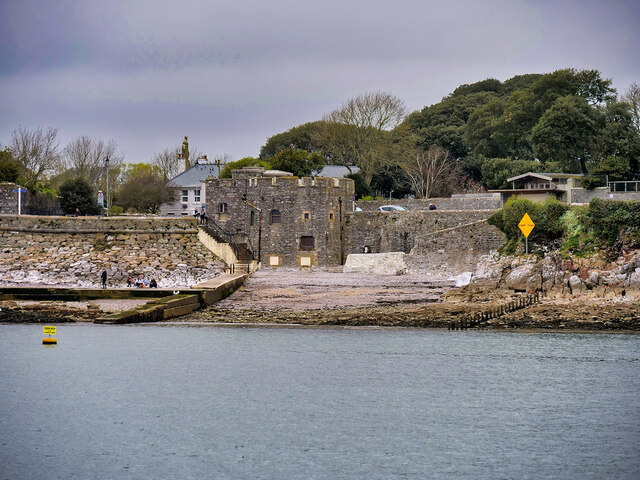
Western King's Redoubt
The Western King's Redoubt is an 18th and 19th-century artillery battery in Plymouth, Devonshire, England, upgraded as a result of the Royal Commission...
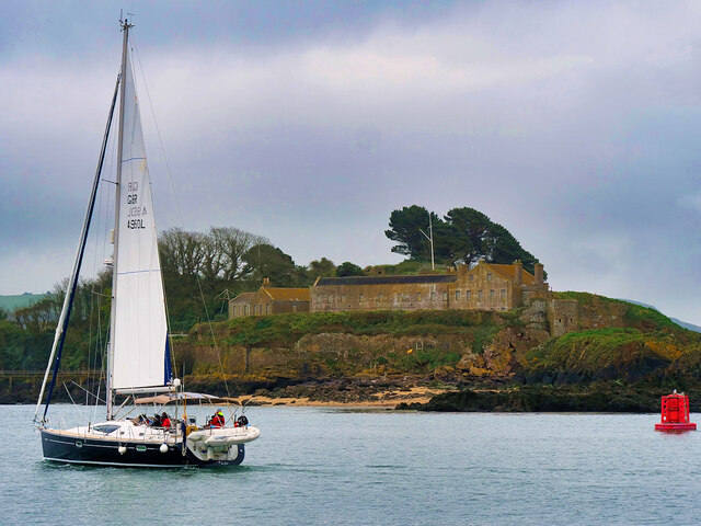
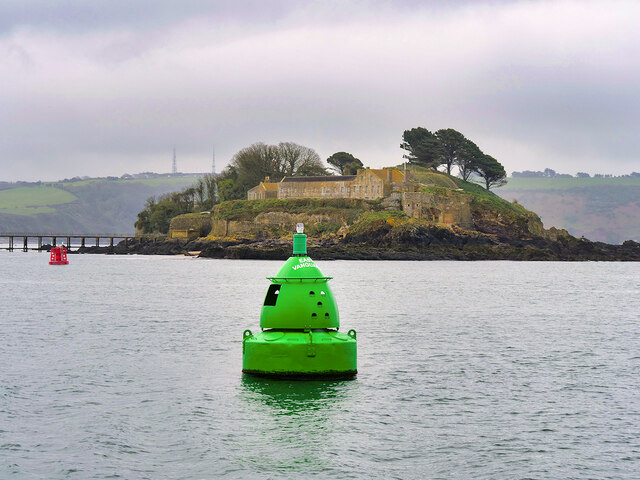
Picklecombe Fort
Fort Picklecombe stands on the extreme south eastern coast of Cornwall, a couple of miles west of the city of Plymouth. The fort has been a residential...
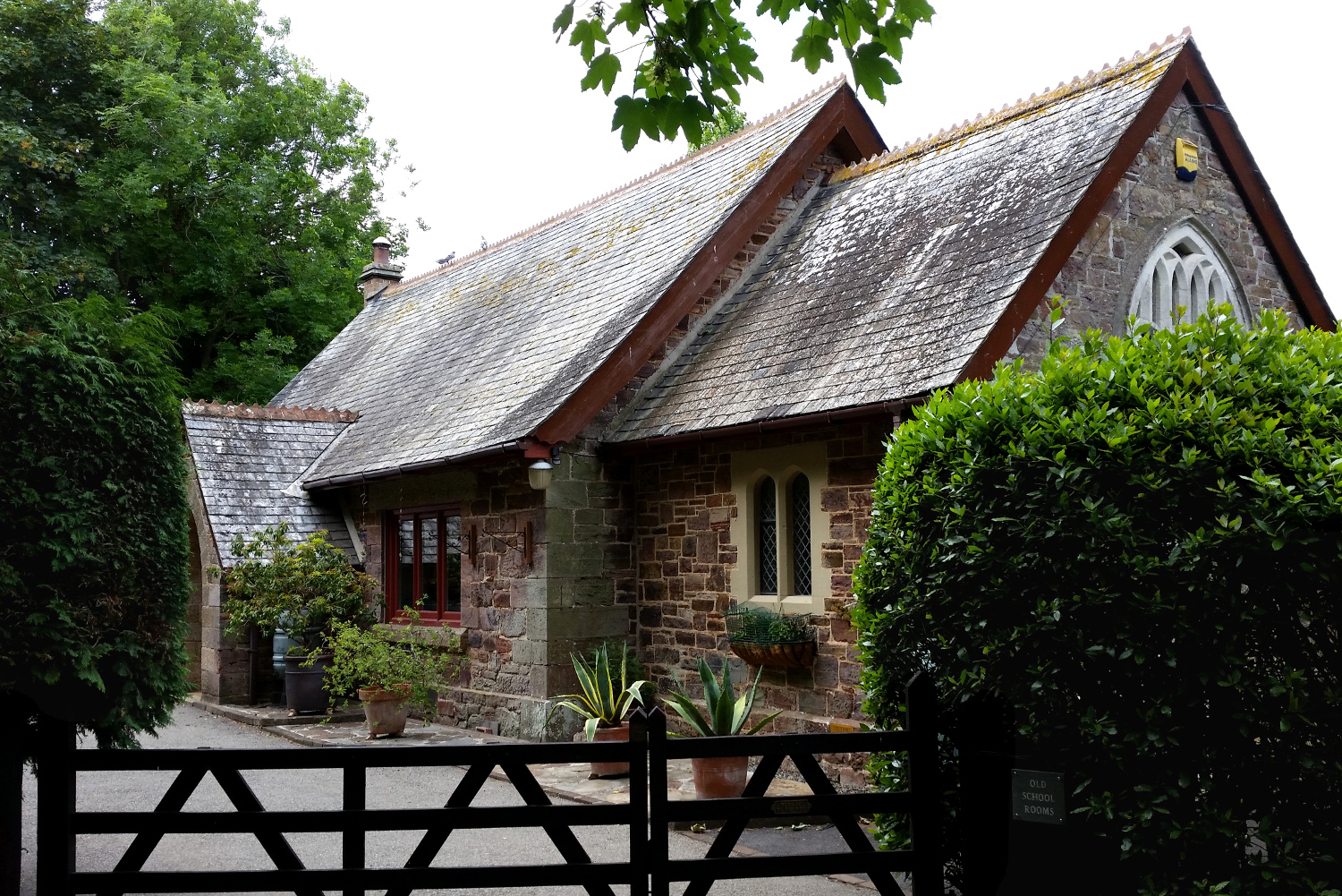
Cremyll School and Chapel
Cremyll School and Chapel is a former schoolroom and chapel in Cremyll, Cornwall, England. It was erected in 1867 and is now a private residence, known...

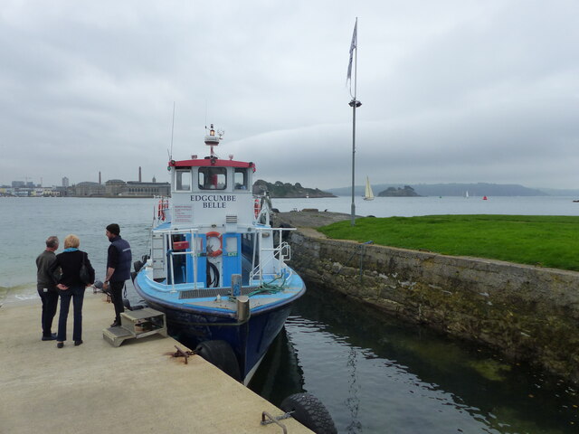
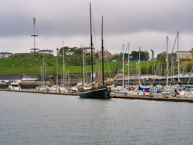
Cremyll
Cremyll (pronounced ) is a small coastal village in south-east Cornwall, England, United Kingdom. Cremyll is on the Rame Peninsula facing Plymouth Sound...

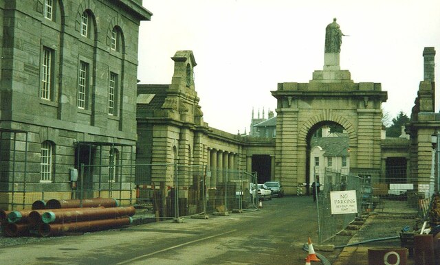
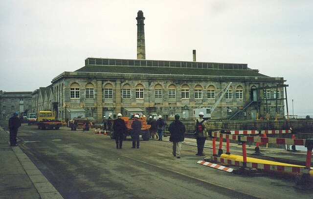
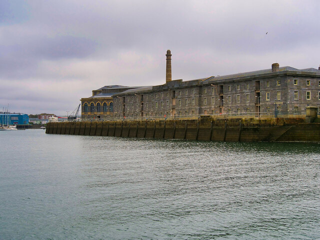
Royal William Victualling Yard
The Royal William Victualling Yard in Stonehouse, a suburb of Plymouth, England, was the major victualling depot of the Royal Navy and an important adjunct...

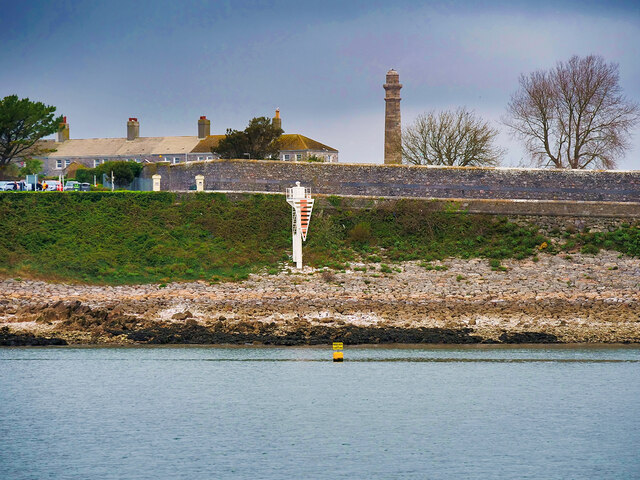
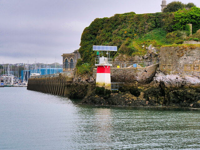
Devil's Point, Plymouth
Devil's Point (also called Western King Point) is located on the eastern side of the mouth of the River Tamar where it meets the English Channel at Plymouth...
Nearby Amenities
Located within 500m of 50.352368,-4.1682226Have you been to The Raven's Cliffs?
Leave your review of The Raven's Cliffs below (or comments, questions and feedback).