Cheddar
Settlement in Somerset Sedgemoor
England
Cheddar
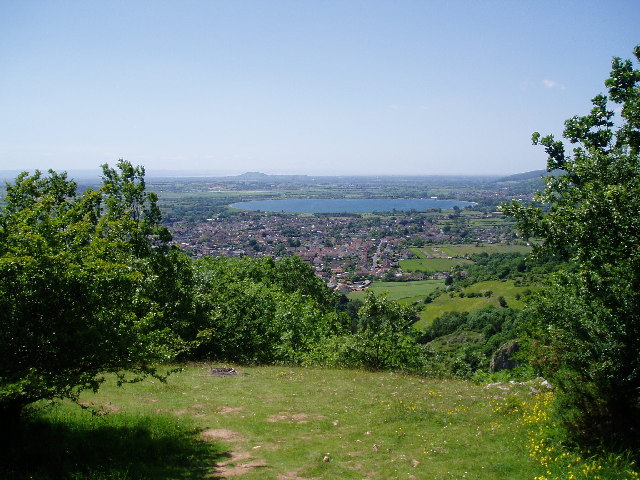
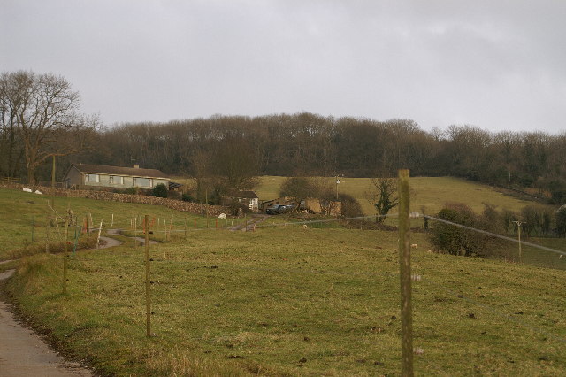
Cheddar is a village located in the county of Somerset, England. Situated in the Mendip Hills, it is known for its stunning natural beauty and historical significance. The village is approximately 14 miles southwest of the city of Bristol and has a population of around 5,000 residents.
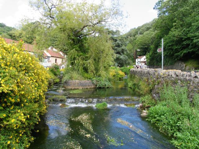
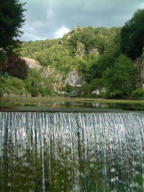
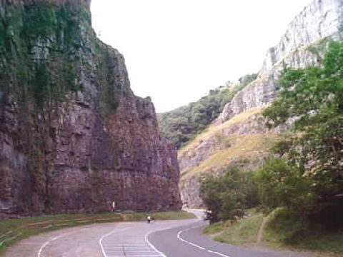
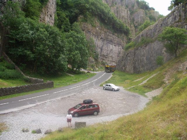
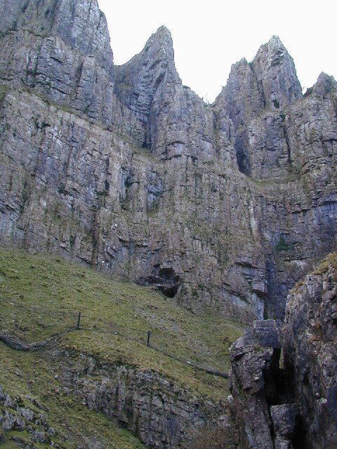
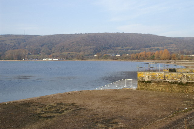
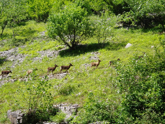
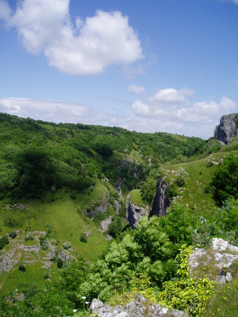
Cheddar is most famous for its world-renowned Cheddar Gorge, a magnificent limestone gorge that attracts thousands of visitors each year. The gorge is a designated Area of Outstanding Natural Beauty and offers breathtaking views, walking trails, and opportunities for outdoor activities such as rock climbing and caving. The area is also home to several species of rare flora and fauna.
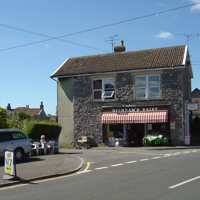
Apart from its natural attractions, Cheddar is also known for its cheese production. Cheddar cheese, the most popular and widely consumed cheese in the world, takes its name from the village. The traditional cheese-making process is still practiced in Cheddar, and visitors can witness the art of cheese-making at the local dairy.
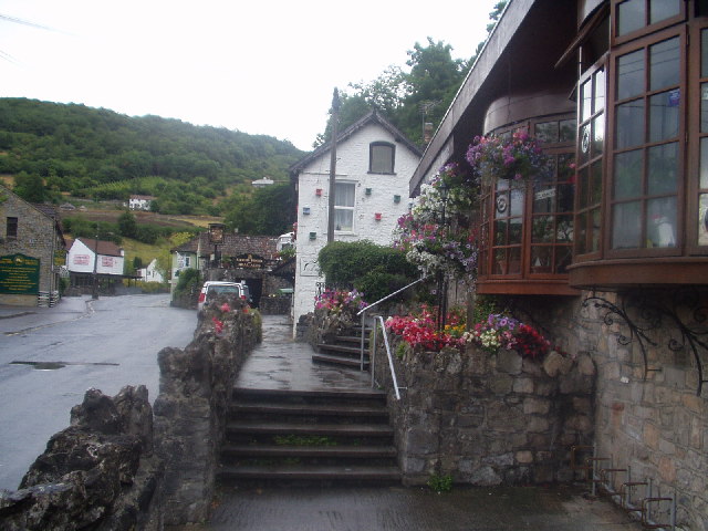
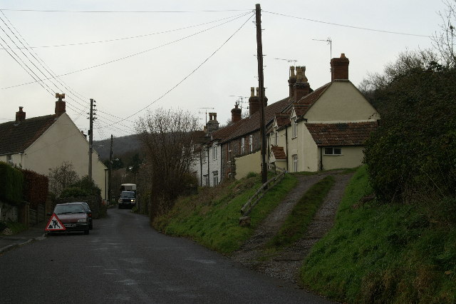
The village itself has a charming and picturesque setting, with quaint cottages, tea rooms, and local shops. The Cheddar Museum provides visitors with a glimpse into the village's history and showcases artifacts that date back to the Stone Age. Additionally, Cheddar hosts an annual agricultural show, where locals showcase their farming skills and celebrate the village's agricultural heritage.
In summary, Cheddar, Somerset, is a captivating village renowned for its natural wonders, including the majestic Cheddar Gorge. With its rich history, traditional cheese-making, and picturesque setting, Cheddar offers visitors a unique and memorable experience.
If you have any feedback on the listing, please let us know in the comments section below.
Cheddar Images
Images are sourced within 2km of 51.275387/-2.776617 or Grid Reference ST4553. Thanks to Geograph Open Source API. All images are credited.
Cheddar is located at Grid Ref: ST4553 (Lat: 51.275387, Lng: -2.776617)
Administrative County: Somerset
District: Sedgemoor
Police Authority: Avon and Somerset
What 3 Words
///ideas.snug.pounces. Near Cheddar, Somerset
Related Wikis
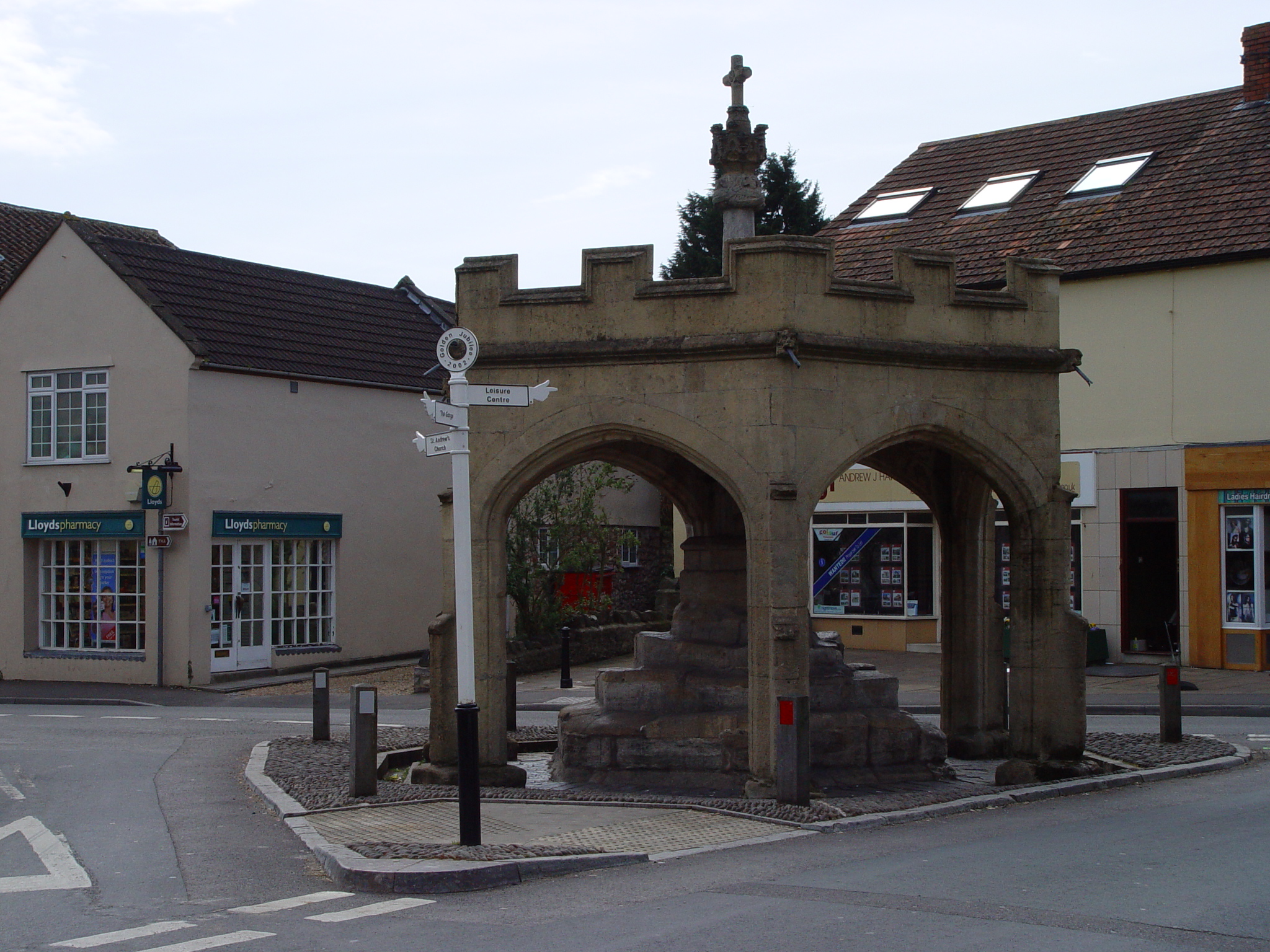
Market Cross, Cheddar
Cheddar Market Cross in the village of Cheddar within the English county of Somerset, England dates from the 15th century. It is a Scheduled Ancient Monument...

The Kings of Wessex Academy
The Kings of Wessex Academy, formerly known as the Kings of Wessex School, is a coeducational secondary school located in Cheddar, Somerset, England. As...

Cheddar Palace
The Cheddar Palace was established in the 9th century, in Cheddar, Somerset, England. It was a royal hunting lodge in the Anglo-Saxon and medieval periods...

St Andrew's Church, Cheddar
The Church of St Andrew in Cheddar, Somerset, England dates from the 14th century and has been designated as a Grade I listed building.The church was restored...
Fairlands Middle School
Fairlands Middle School is a coeducational middle school with roughly 522 pupils aged between 9 and 13 in 2012, located in Cheddar, Somerset, England....

Cheddar, Somerset
Cheddar is a large village and civil parish in the English county of Somerset. It is situated on the southern edge of the Mendip Hills, 9 miles (14 km...
Cheddar A.F.C.
Cheddar Association Football Club is a football club based in Cheddar, near Wells in Somerset, England. They are currently members of the Western League...

Cheddar railway station
Cheddar railway station was a station on the Bristol and Exeter Railway's Cheddar Valley line in Cheddar, Somerset, England. The station had substantial...
Nearby Amenities
Located within 500m of 51.275387,-2.776617Have you been to Cheddar?
Leave your review of Cheddar below (or comments, questions and feedback).