Cheddington
Settlement in Buckinghamshire
England
Cheddington

Cheddington is a small village located in Buckinghamshire, England. It is situated about five miles southeast of Leighton Buzzard and approximately 40 miles northwest of London. The village is situated on the edge of the Chiltern Hills, offering picturesque views and a tranquil atmosphere.
Cheddington is known for its rich history, dating back to the Roman times. The remnants of a Roman villa were discovered in the area, suggesting a long-standing settlement. Throughout the centuries, the village has been mentioned in various historical documents, including the Domesday Book of 1086.
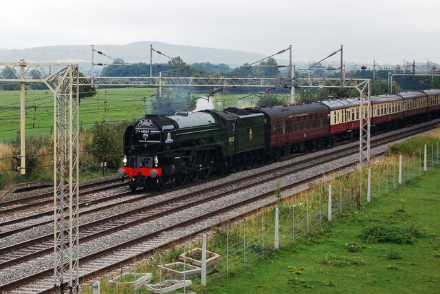
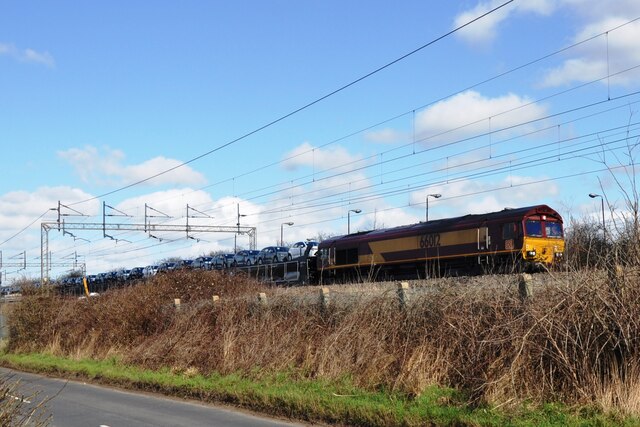
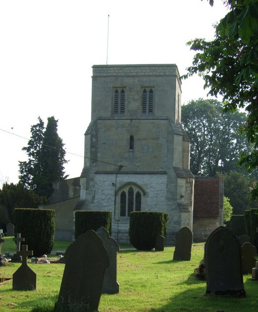
The village is home to a close-knit community, with a population of around 1,200 residents. It offers a range of amenities, including a local primary school, a village hall, a church, and a pub. The village is also well-connected, with Cheddington railway station providing frequent services to London and other nearby towns.
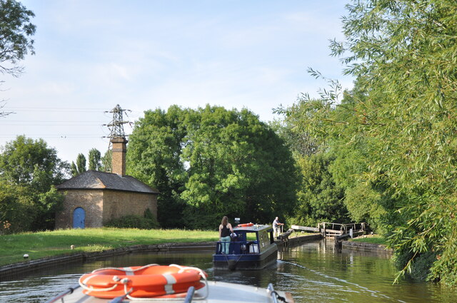
Nature lovers will find plenty to explore in Cheddington, as the village is surrounded by beautiful countryside and numerous walking trails. The Grand Union Canal runs through the village, offering opportunities for boating and fishing activities. Additionally, the nearby Ashridge Estate provides a stunning backdrop for outdoor pursuits.
Cheddington is a charming village that combines a rural setting with easy access to urban amenities. Its rich history, beautiful landscapes, and strong sense of community make it an attractive place to live or visit for those seeking a peaceful and picturesque location.
If you have any feedback on the listing, please let us know in the comments section below.
Cheddington Images
Images are sourced within 2km of 51.846269/-0.661904 or Grid Reference SP9217. Thanks to Geograph Open Source API. All images are credited.


Cheddington is located at Grid Ref: SP9217 (Lat: 51.846269, Lng: -0.661904)
Unitary Authority: Buckinghamshire
Police Authority: Thames Valley
What 3 Words
///warthog.jaunts.fuzz. Near Cheddington, Buckinghamshire
Nearby Locations
Related Wikis
Cheddington
Cheddington is a village and civil parish in the Buckinghamshire district of the ceremonial county of Buckinghamshire, England. The parish has an area...

Cooks Wharf
Cooks Wharf is a hamlet in the parish of Cheddington, in Buckinghamshire, England. It is located where the main road into Cheddington from Pitstone crosses...
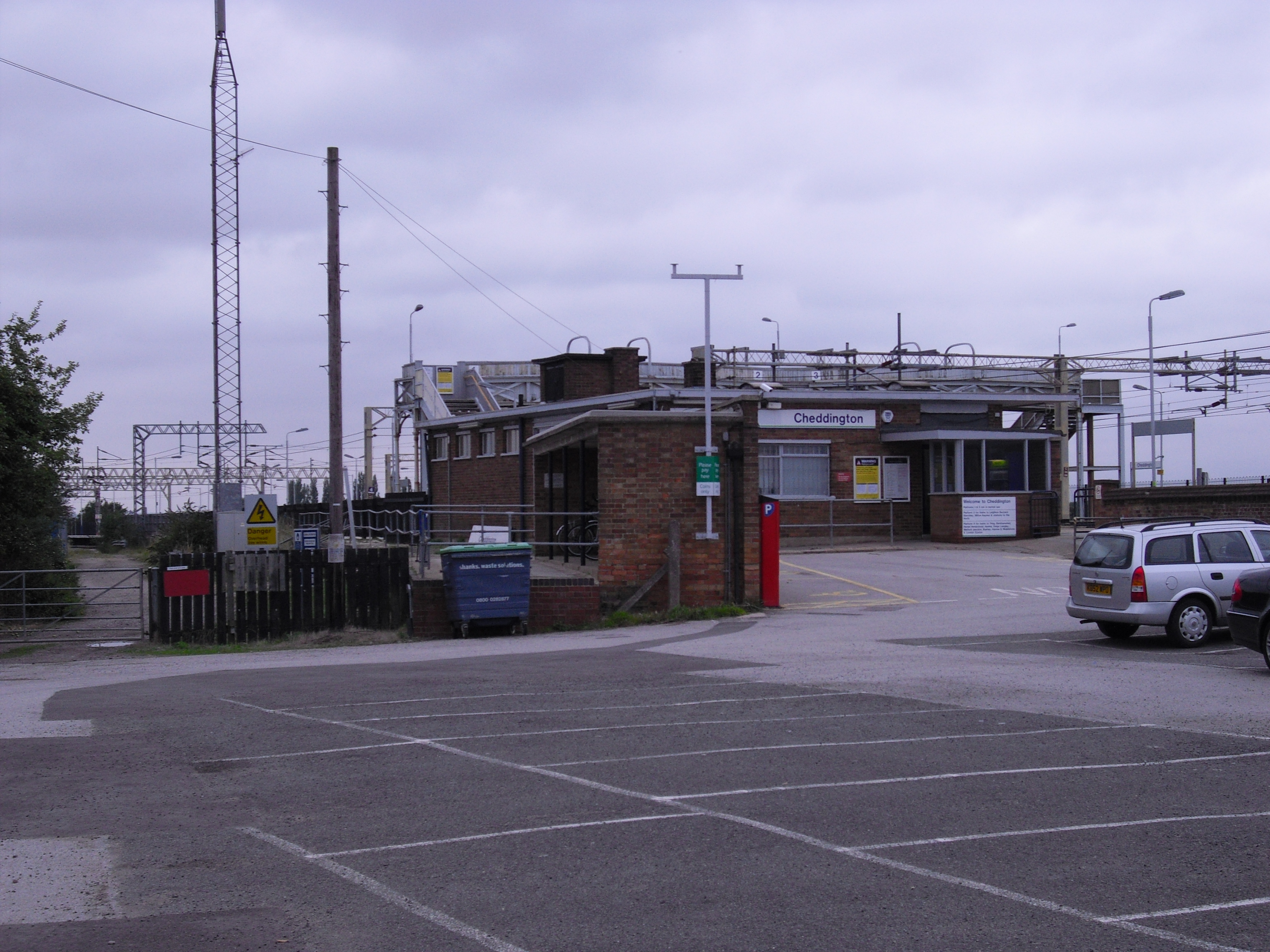
Cheddington railway station
Cheddington railway station serves the village of Cheddington, in Buckinghamshire, England, and the surrounding villages, including Ivinghoe and Mentmore...

RAF Cheddington
Royal Air Force Cheddington or more simply RAF Cheddington (also known as RAF Marsworth) is a former Royal Air Force station located 1 mile (1.6 km) south...
Pitstone & Ivinghoe F.C.
Pitstone & Ivinghoe Football Club are a football club based in Pitstone, near Leighton Buzzard, England. They are members of the Spartan South Midlands...

Horton, Buckinghamshire
Horton is a hamlet in the parish of Ivinghoe, in Buckinghamshire, England. It is in the civil parish of Slapton. The name Horton is a common one in England...
Grand Junction Canal
The Grand Junction Canal is a canal in England from Braunston in Northamptonshire to the River Thames at Brentford, with a number of branches. The mainline...

St Mary the Virgin, Ivinghoe
The Church of St Mary the Virgin, Ivinghoe, is a Church of England, Grade I listed church in the village of Ivinghoe, Buckinghamshire, in the United Kingdom...
Nearby Amenities
Located within 500m of 51.846269,-0.661904Have you been to Cheddington?
Leave your review of Cheddington below (or comments, questions and feedback).