Cheddleton
Settlement in Staffordshire Staffordshire Moorlands
England
Cheddleton
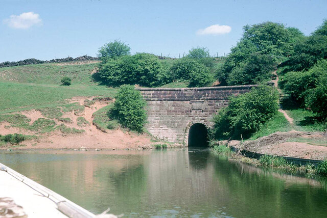
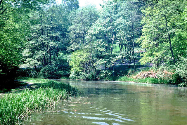
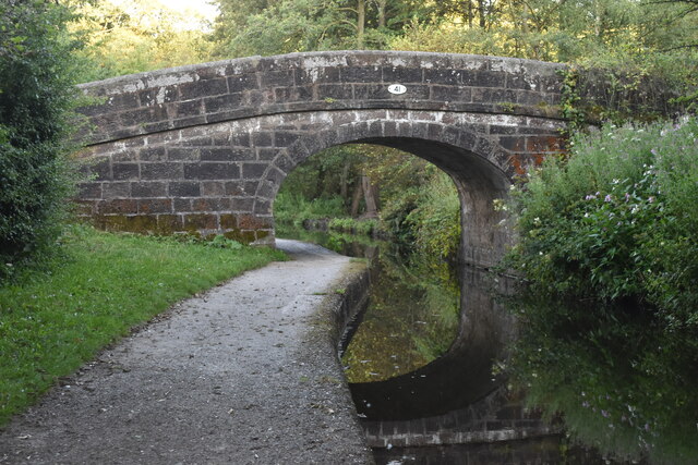
Cheddleton is a small village located in the county of Staffordshire, England. Situated in the picturesque Churnet Valley, it lies approximately 4 miles southeast of the town of Leek and 10 miles north of the city of Stoke-on-Trent. The village is surrounded by beautiful countryside, with the River Churnet flowing through its heart.
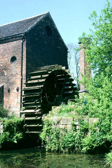
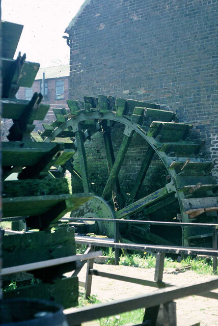
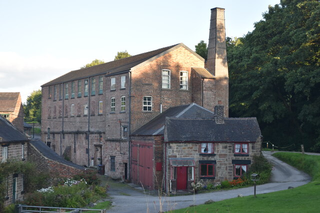
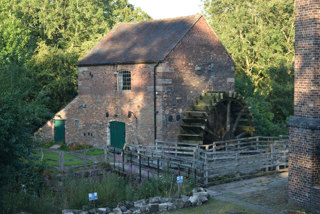
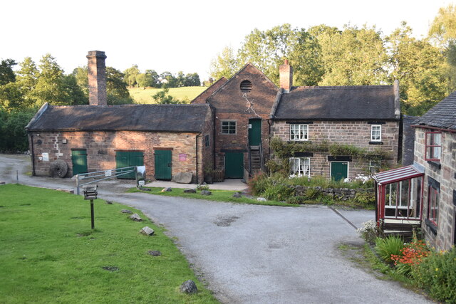
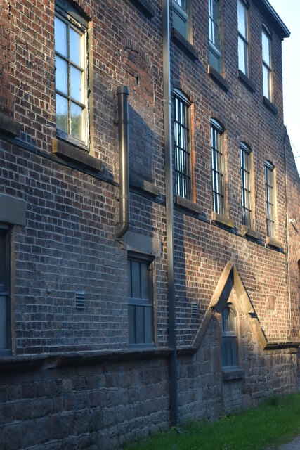
Cheddleton has a rich history, with evidence of human settlement in the area dating back thousands of years. The village is known for its industrial heritage, particularly in the production of textiles and the mining of coal. The Cheddleton Flint Mill, a 200-year-old watermill, is a notable landmark that showcases the village's past.
Today, Cheddleton retains its rural charm and offers a peaceful and idyllic setting for residents and visitors alike. The village is known for its local community spirit and is home to a range of amenities, including a primary school, village hall, and several shops and pubs. It also serves as a gateway to the nearby Churnet Valley Railway, a heritage steam railway that attracts tourists from far and wide.
Outdoor enthusiasts are drawn to Cheddleton for its stunning countryside and the opportunities for walking, cycling, and fishing along the river. The village is also a popular starting point for exploring the nearby Staffordshire Moorlands and the Peak District National Park.
In summary, Cheddleton is a charming village in Staffordshire, offering a mix of history, natural beauty, and community spirit. Whether it's exploring its industrial past, enjoying the tranquility of the countryside, or immersing oneself in the local culture, Cheddleton has something to offer everyone.
If you have any feedback on the listing, please let us know in the comments section below.
Cheddleton Images
Images are sourced within 2km of 53.069191/-2.042263 or Grid Reference SJ9752. Thanks to Geograph Open Source API. All images are credited.
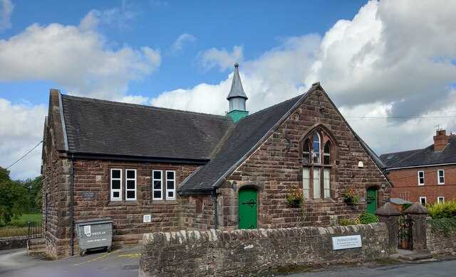
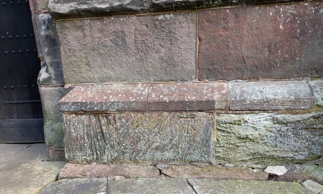
![Cheddleton, old school There is a benchmark cut into the south-east face of the old school [now a tearoom]. It is to the left of the building.](https://s3.geograph.org.uk/geophotos/07/00/51/7005111_d5b79137.jpg)


Cheddleton is located at Grid Ref: SJ9752 (Lat: 53.069191, Lng: -2.042263)
Administrative County: Staffordshire
District: Staffordshire Moorlands
Police Authority: Staffordshire
What 3 Words
///windmills.span.shelved. Near Cheddleton, Staffordshire
Nearby Locations
Related Wikis

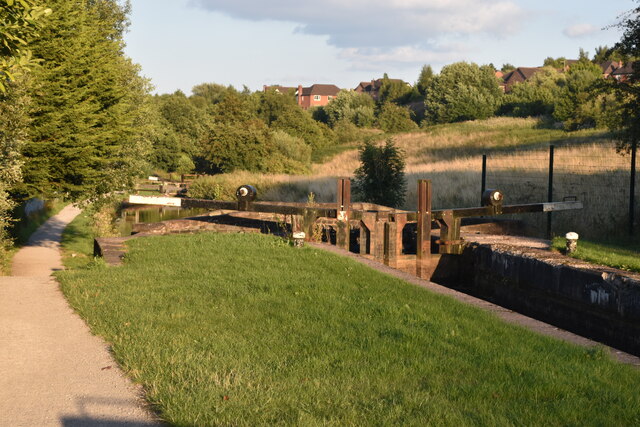
Cheddleton Flint Mill
Cheddleton Flint Mill is a water mill situated in the village of Cheddleton in the English county of Staffordshire. The mill race takes water from the...

Cheddleton
Cheddleton is an ancient parish and village in the Staffordshire Moorlands, near to the town of Leek, England. == History == The village is divided into...
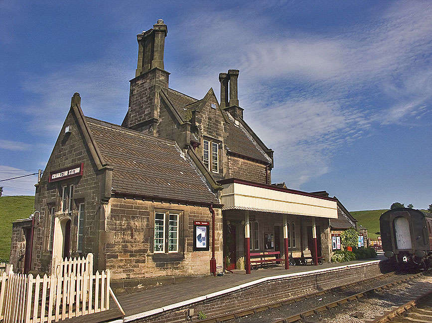
Cheddleton railway station
Cheddleton railway station is a former passenger railway station of the North Staffordshire Railway (NSR) and is now a preserved station on the Churnet...

Churnet Valley Railway
The Churnet Valley Railway is a preserved standard gauge heritage railway in the Staffordshire Moorlands of Staffordshire, England. It operates on part...

Ashcombe Park, Staffordshire
Ashcombe Park is a country house and estate near Cheddleton, in Staffordshire, England. The house is a Grade II* listed building, listed on 2 May 1953...

St Edwards Hospital tramway
The St Edward's Hospital tramway was a tramway built for Staffordshire County Council for the construction of the St Edward's County Mental Asylum at Cheddleton...

St Edward's Hospital
St Edward's Hospital was a mental health facility at Cheddleton in Staffordshire, England. The hospital closed in 2002 and was converted into apartments...

Deep Hayes Country Park
Deep Hayes Country Park is a country park in Staffordshire, England. It is about 3 miles (4.8 km) south-west of Leek, a short distance south of the A53...
Nearby Amenities
Located within 500m of 53.069191,-2.042263Have you been to Cheddleton?
Leave your review of Cheddleton below (or comments, questions and feedback).