Cheddleton Heath
Settlement in Staffordshire Staffordshire Moorlands
England
Cheddleton Heath
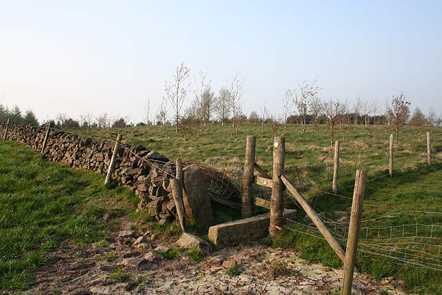
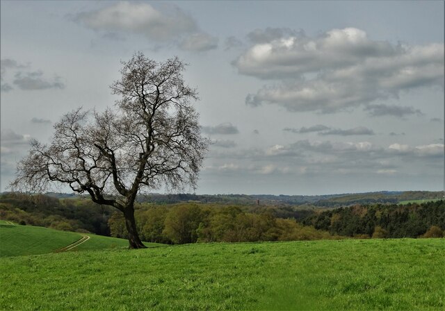
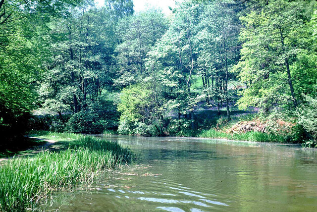
Cheddleton Heath is a small village located in the county of Staffordshire, England. Situated in the Staffordshire Moorlands district, it lies approximately 10 miles southwest of the city of Stoke-on-Trent. The village is nestled within the hilly and picturesque landscape of the Staffordshire Moorlands, offering stunning views of the surrounding countryside.
Cheddleton Heath is known for its rural charm and peaceful atmosphere, attracting those seeking a quieter lifestyle away from the hustle and bustle of city living. The village is characterized by its quaint cottages, traditional stone buildings, and well-maintained gardens. It has a close-knit community, with a population of around 1,500 residents.
The village is well-served by amenities, including a local primary school, a village hall, and a pub. The primary school, known as Cheddleton Primary School, provides education for children up to the age of 11. The village hall hosts various community events and activities, fostering a sense of community spirit among the residents.
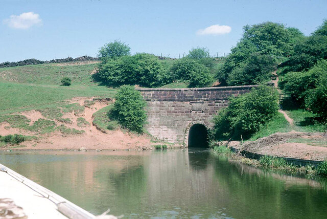
Cheddleton Heath is also renowned for its proximity to the Churnet Valley Railway, a heritage railway that operates steam train rides through the picturesque Churnet Valley. The railway station in Cheddleton Heath offers visitors and locals alike the opportunity to take nostalgic journeys through the beautiful Staffordshire countryside.
Overall, Cheddleton Heath is a charming and idyllic village, known for its natural beauty, community spirit, and its connection to the heritage railway. It is an ideal place for those looking to escape the stresses of city life and immerse themselves in a peaceful countryside setting.
If you have any feedback on the listing, please let us know in the comments section below.
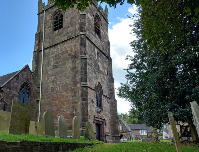
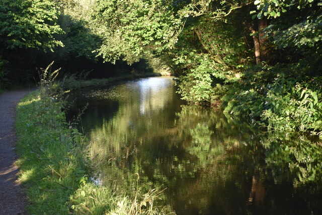
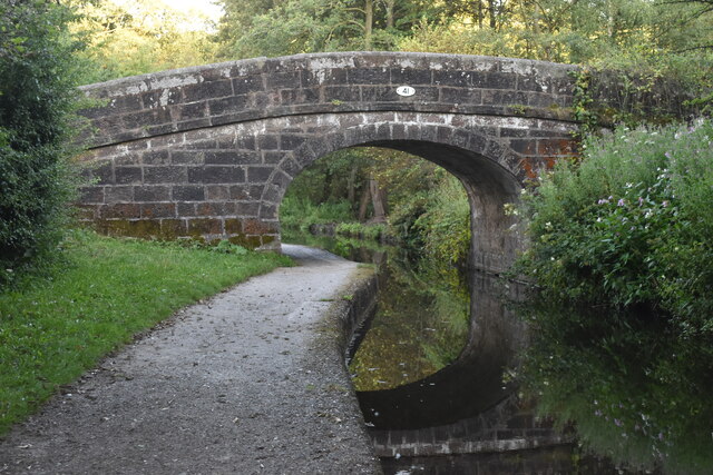
Cheddleton Heath Images
Images are sourced within 2km of 53.075677/-2.026791 or Grid Reference SJ9853. Thanks to Geograph Open Source API. All images are credited.

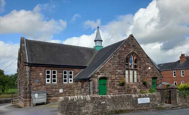
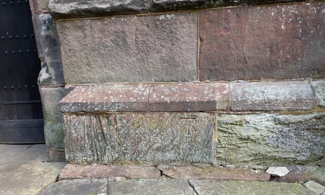
![Cheddleton, old school There is a benchmark cut into the south-east face of the old school [now a tearoom]. It is to the left of the building.](https://s3.geograph.org.uk/geophotos/07/00/51/7005111_d5b79137.jpg)
Cheddleton Heath is located at Grid Ref: SJ9853 (Lat: 53.075677, Lng: -2.026791)
Administrative County: Staffordshire
District: Staffordshire Moorlands
Police Authority: Staffordshire
What 3 Words
///corrupted.simulations.grove. Near Cheddleton, Staffordshire
Nearby Locations
Related Wikis

Leek Brook railway station
Leek Brook railway station is a passenger station in Staffordshire, Great Britain. == History == Leek Brook railway station was opened by the North Staffordshire...

St Edwards Hospital tramway
The St Edward's Hospital tramway was a tramway built for Staffordshire County Council for the construction of the St Edward's County Mental Asylum at Cheddleton...

St Edward's Hospital
St Edward's Hospital was a mental health facility at Cheddleton in Staffordshire, England. The hospital closed in 2002 and was converted into apartments...
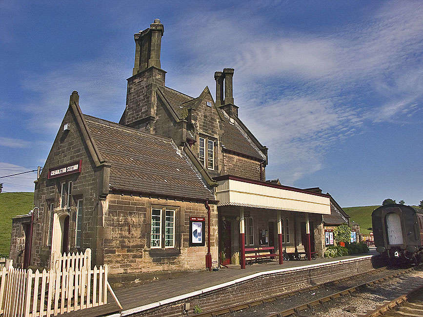
Cheddleton railway station
Cheddleton railway station is a former passenger railway station of the North Staffordshire Railway (NSR) and is now a preserved station on the Churnet...

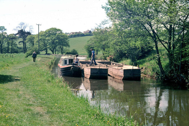
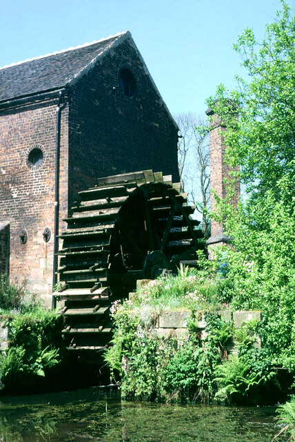
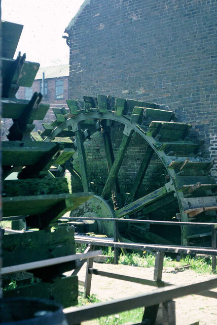
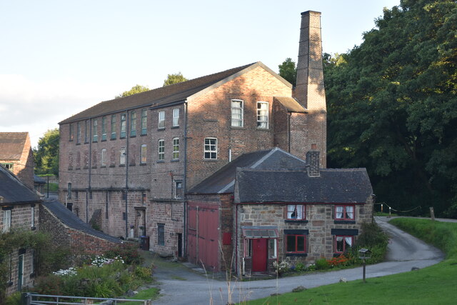
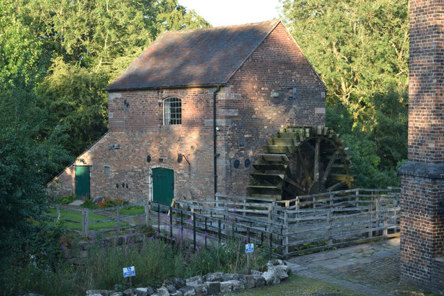
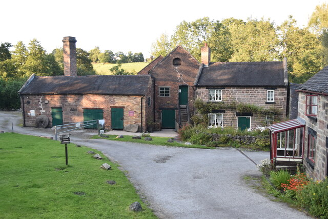
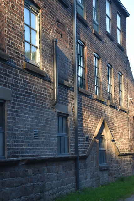
Cheddleton Flint Mill
Cheddleton Flint Mill is a water mill situated in the village of Cheddleton in the English county of Staffordshire. The mill race takes water from the...

Churnet Valley Railway
The Churnet Valley Railway is a preserved standard gauge heritage railway in the Staffordshire Moorlands of Staffordshire, England. It operates on part...

Cheddleton
Cheddleton is an ancient parish and village in the Staffordshire Moorlands, near to the town of Leek, England. == History == The village is divided into...
Barnfields
Barnfields is a village in Staffordshire, England. The population at the 2011 census can be found under the Weeping Cross Ward of Stafford
Nearby Amenities
Located within 500m of 53.075677,-2.026791Have you been to Cheddleton Heath?
Leave your review of Cheddleton Heath below (or comments, questions and feedback).